
Happy walkers at the ‘Granite Loaves’ | photo Shannon
Sunday 13 August 2023: Booroomba Rocks. Up the track to the cliff, then off-track SW to SH1396 and other places.
Summary
From Garmin Connect (MAP66i) – Distance: 4.92km | Climb: 264vm | Time: 1:45 moving + 2:13 of stops – 3:58 | Grading: S/M; E(7).
Photographs Photographs are available here.
The GPS metadata has been removed from the ‘Granite Loaves’ photos.
gpx File The gpx file is available here.
The track has been doctored so as not to show the location of the ‘Granite Loaves.
Track Notes
I was last here on 2 Nov 22.
So nice to be on a trip put on by someone else, to be picked up and driven in a big truck. We drove Apollo Road and into the Booroomba Rocks car park.
Wandered up to the cliff. Not much of a view today.

View from Booroomba Rocks cliff to Blue Gum Hill and Blue Gum Creek
The young and the keen went up to SH1353.

Keen party members on SH1353
We regrouped for morning tea.
Our next leg was SW to SH1372. It gave us grand views to our destination.

View from near SH1372 to the side of SH1396 ‘Granite Dome’
Then down to a scrubby gully and up the other side to pop out on the open granite.

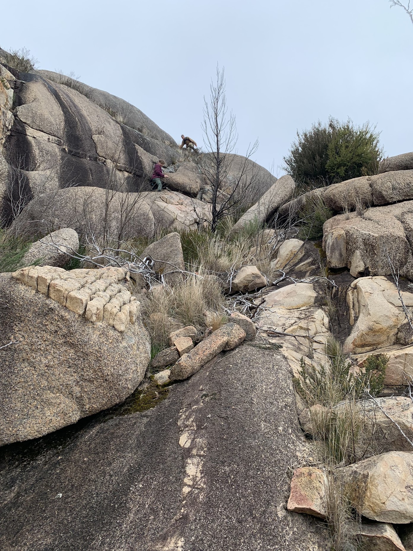
Climbing south towards SH1396 ‘Granite Dome’
Booroomba Rocks is the general area name. Many folk walk up the track to the cliff edge and don’t go further to these higher points. SH1396 is the highest, named ‘Granite Dome’ by Matthew Higgins.
I usually use a NSW mosaic of topo maps (© 2003) for my map segments, as below. But if you look on the current NSW e-topo map (© 2017) Corin Dam map, you’ll see SH1396 marked as Deadmans Hill. There’s another Deadmans Hill marked on the Williamsdale e-topo map (© 2017) to the East. This is, of course, the correct location. OSM used to reflect the dual marking, but has been corrected.
We visited the nearby ‘Granite Loaves’.
Climbing above the ‘Granite Loaves’
A geology expert, Peter, suggests:
I think that you have a latter fine-grained thin dyke intruding earlier larger grained coolish granite. The later dyke has then cooled, the rock has shrunk, and the resultant stresses in the plane of the dyke has cause the dyke to crack in two directions are right angles to each other. The right angle is probably due to other stresses. This is similar to getting hexagonal columns in thick dolerite or larva flows with very slow cooling.
And a more detailed explanation, from Doug, is here.
Then it was back to SH1396 for lunch. Cool, overcast, with a bit of mizzle.

Weather coming in from the west
We returned the way we came. Small patches of flowers.

Heath in flower
A very pleasant tibmin little trip. Thanks Meg and all.
Track Map
Here’s where we went.

Track Booroomba Rocks
The AllTrails map is here, where you can pan and zoom.
Party
10 walkers – Meg McK (leader).
Johnny Boy’s Walkabout Blog FaceBook Page
I’ve started up a FaceBook page. Each trip report posts to it. So it’s another way to get some info to get out and breathe a bit of fresh air. Why not pop over and Follow the page, or give a post a Like.
Garry
13 August , 2023 6:55 pmHi John, really enjoy the posts and I often read with considerable envy. I have visited a lot of the areas you trek but at a much younger age. Keep the standard for us old blokes you put me to shame.
Cheers Garry
Johnny Boy
13 August , 2023 8:16 pmHi Garry. Thanks for your encouragement. Come and join us on a trip and show us your favourite spots. Cheers. john