
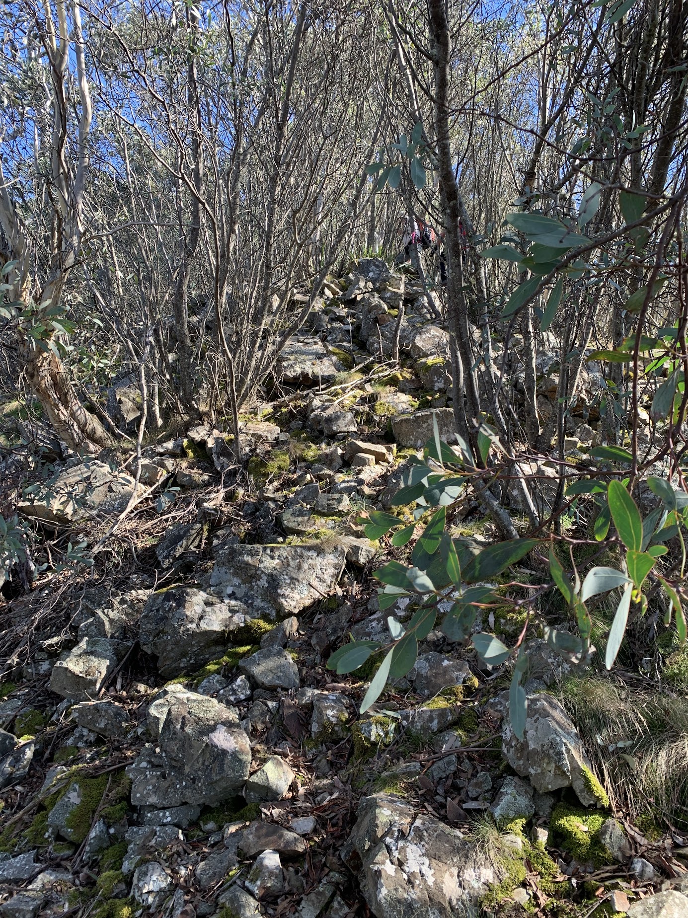
A short climb up the shale knoll
Monday 22 April 2024: Tidbinbilla Skyline southern section: Fishing Gap, Mt Domain, Snowy Corner, Mountain Creek * – L/R and SLOW. In via Fishing Gap Fire Trail and up to Mt Domain. Walk the crest north to Snowy Corner and descend to the Lyrebird Trail. Around 13km and 1000m climb. Slow walking, around 8 hours. Need 2 vehicles for car shuttle.
Summary
From Garmin Connect (recorded on Epix Gen 2) – Distance: 12.38km | Climb: 900vm (Elev Corrections Enabled) | Time: 3:21 moving +3:12 of stops = 6:33 | Grading: L/M-R; H(12).
I have at last bothered to look up the difference between Elev(ation) Corrections Enabled and Disabled when examining recorded tracks via Garmin Connect. If a device has a barometer (both my Epix Gen 2 and MAP66i do), it is used to calculate the altitude at each track point and Ascent automatically shows in Garmin Connect with Elev Corrections Disabled. I’ve always thought this reading to be high. Changing to Elev Corrections Enabled causes Garmin Connect to calculate Ascent/Descent via the best available Digital Elevation Model (DEM). This figure is usually lower and closer to experience.
Photographs
View photographs here. A few more photos in the album than used in this trip report.
gpx file
Download the gpx file here.
Track Map
Here’s where we went.

Track Tidbinbilla Skyline South
Trip Report
I last did part of this trip on 7 Nov 23, my 75th birthday. I bugged out because I was too slow for the Ranger led taping team. I last did this southern section same as today on 17 Dec 22.
In TNR right on 7.30am. Dropped a car at Mountain Creek car park and drove the other round to Fishing Gap car park. Walking at 7.55am.
3.8km in 1:05 to Fishing Gap. My companions were ideal – talked between themselves and left me to huff and puff. Their talking did not slow them down all day.

Fishing Gap
I set off in the lead an after 30m lost the pad! Corrected by my companions I was able to keep at it till nearly the top of the ferny area. The lower part of this section is becoming quite overgrown.

Route at the top of the ferny area
They took the lead from here. In fact, it was a Mike and Sal led trip most of the day. From Fishing Gap to the Nose was 1.4km in 1 hour, climbing 260vm.
More pleasant walking along the flat area for an old codger.

On the flat area just past the Nose
The open area with cairn was less weedy than 7 Nov 23.

View NW from Cairn in open – used to be weedy
Some rocky patches up the crest of the spur climbing to Mt Domain.
Climbing to Mt Domain at 1410m contour
From the Nose to Mt Domain was 1.3km in 45mins climbing 125vm.
I don’t know why I always take a photo of the cairn at Mt Domain.

Mt Domain cairn
The lads up front walked through my usual smoko spot to an even better one just 20m or so to the north. Huge views.

View West from Smoko

View East from Smoko

View North from Smoko
A pleasant leg along the crest through a number of little knolls and down to the Ashbrook Creek/Cow Flat Creek saddle.

View East, West and North from the saddle
The route/pad is pretty easy to follow. The leg from Mt Domain to the Saddle was 1.3km in 50mins.
Pleasant going on the south facing slope for the climb up to the north from the saddle.

Softer going climbing from the saddle at 1370m
1km in 45mins from the Saddle to lunch on the shale knoll.

Heading down to the shale knoll
Tremendous luncheon views.
Cramps getting up from lunch. I drink gallons of tonic water (no gin) at home, take a daily magnesium pill and eat bananas, 1+ litre of electrolyte so far to day and I still get them. I reckon the solution is to not stop for lunch or, at least, don’t sit down. Anyway they walked out after a few minutes.
Another softer going climb over SH1431 and we were at the Snowy Corner cairns. I’ve always known them as that, even through they are a kilometre south of the map-marked Snowy Corner.
I enjoy the down a whole lot more than the up and even held a bit of conversation. Snowy Corner cairns to Mountain Creek car park was 2.6km in 1hr 5mins.
Many, many thanks lads for your consideration of this old codger. Skyline’s three sections finished (except for the Pimple) over the last three Mondays. I’ll do it again when the route/track is formalised.
Party
3 walkers – Mike B, Sal O, me. The nod given by CBC Assistant Walks Sec for a trip with fewer than 4 walkers due to our experience and gear/communications carried.
AllTrails
The AllTrails map is here, where you can pan and zoom.
Johnny Boy’s Walkabout Blog FaceBook Page
I’ve started up a FaceBook page. Each trip report posts to it. It’s another way to get some info to get out and breathe a bit of fresh air. Why not pop over and Follow the page, or give a post a Like.
Girts
22 April , 2024 11:44 pmYou deserve a medal doing this walk at age 75 John.
Johnny Boy
23 April , 2024 8:23 amKudos to my pacer companions Girts. Cheers john