
Geocacher Tankengine’s ‘brick factory’
Saturday 12 August 2023: Interesting Sites around Yankee Hat car park * – M/E-M, ptW. This walk starts with a round of the very pleasant Rendezvous Creek Track. It provides access for further walking up the creek valley. Then, depending on the clearance of vehicles available, we either walk or drive the Old Boboyan Road to Yankee Hat car park. From there, we walk a loop around the feature to the SW on old fire trails and the Old Boboyan Rd.
Points of interest include Ready-Cut Cottage, views to Gudgenby Homestead, an old stone wall, axe grinding grooves, the confluence of Bogong Creek and Middle Creek forming the start of the Gudgenby River, Foresters Hut, Frank and Jacks Hut and stockyard and dip, an indigenous site. The pièce de resistance will hopefully be a visit to a site described as a ‘brick factory’ by geocacher Tankengine and recently pictured in a Tim the Yowie Man article. Around 21km and 450vm climb, with wet feet walking through the two Hospital Creek fords. Subtract around 8km and no wet feet if we can drive into Yankee Hat car park, making 13km and 450vm.
Summary
From Garmin Connect (MAP66i) – Distance: 15.72km | Climb: 430vm | Time: 5hrs 50mins including driving between walks, sites inspection, smoko and lunch | Grading: M/E-M; M(8).
Photographs Photographs are available here.
gpx File The gpx file is available here.
Track Notes
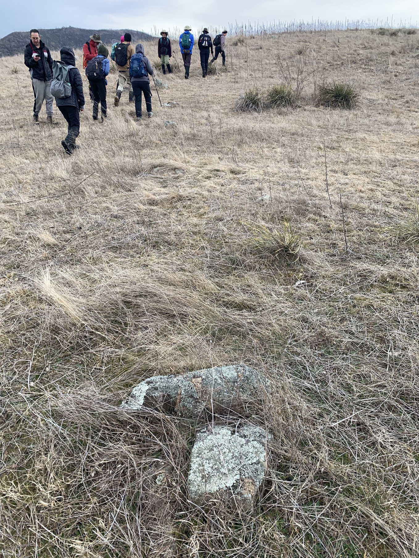
It’s been 4 years since I’ve been in this area. So good to get back in here, revisit some old sites and a new one. Although my companions didn’t go wild over a line of stones, most of the sites were new to them.
We drove to the (new) Revdezvous Creek car park.
Walk 1

Track W1 Sites around Yankee Hat car park
This was a round of the Rendezvous Creek Walking track. Great views to the NE ridge (although not as far up to Orca Rock) and the western Mavis Ridge. Rendezvous Creek usually flows swiftly in this area. Views also out onto the grasslands.

On the Rendezvous Creek bridge
We then drove in the Old Boboyan (Bobeyan) Road to the Ready-Cut Cottage turnoff.
Walk 2

Track W2 and W3 Sites around Yankee Hat car park
We walked down the old road to the Cottage. Great fire pit! Read all I know about the Hudson Ready-Cut Cottage.

Ready-Cut Cottage
We went down to the (new) foot bridge over the Gudgenby River and crossed to the huge granite slab covered in moss. Read all I know about the old foot bridge.

Walking up to Gudgenby Homestead (photo Joanne H)
Gudgenby Homestead is a stylish building, built around 1964. Read all I know about Gudgenby Homestead.

Gudgenby Homestead
Returned via the footbridge.

The footbridge over Gudgenby River
A short detour to a little stone wall.

Small stone wall
Back at the cars, we negotiated the Hospital Creek fords with ease in the SUVs and drove about 800m.
Walk 3
Track W2 and W3 Sites around Yankee Hat car park
This short foray took us down to the Gudgenby River to search for some axe grinding grooves. No luck today. Our return was via a line of stones, perhaps remnant fence supports. Much glee for me; my companions were perhaps not as interested.
Stone fence supports
We drove to Yankee Hat car park.
Walk 4

Track W4 Sites around Yankee Hat car park
The views from here always thrill me. Memories flood back of many trips up Middle Creek to Mts Burbidge, Namadgi and Kelly, short walks via the Yankee Hat Rock Art to Yankee Hat North (the real Yankee Hat) and Yankee Hat South, visits to Bogong Falls, climbs of Mt Gudgenby and overnight trips south, west and north to various destinations up Sams Creek Fire Trail. I hope my companions become enthused to visit these wonderful destinations. Yankee Hat car park is the track head for all these trips.

Mts Kelly, Burbidge and Namadgi draw one’s gaze up Middle Creek
We walked down to where the Bogong Creek bridge and boardwalk used to be.

Where the Bogong Creek bridge was
Turning right along footpads new to me along the open bank of Bogong Creek, we passed quiet reaches of the waterway.

A quiet reach on Bogong Creek (photo Joanne H)
At a narrow point, there’s still a crossing plank that’s been there for some years.
Richard proved that it still works.

Richard crosses Bogong Creek
A little further downstream the confluence of Bogong Creek and Middle Creek form the Gudgenby River.

Left – Bogong Creek, Top – Middle Creek, Right – Gudgenby River
We returned to the car park for morning tea.
Walk 5

Track W5 Sites around Yankee Hat car park
After munchies we set off on fire trails around the feature to the south of the car park. First stop was at the Foresters Hut.

Foresters Hut
Further along the eastern side fire trail we had a good view to the rocks on the side of Hospital Hill. I always use this as an aiming point when walking out of Middle Creek and call it the baby/smiling face. Many can’t recognise the simulacra. A few more converts today, one member saying it looks like Stewie from American Family.

Baby-Smiley face on the side of Hospital Hill
Rounding the southern flank of the hill we popped up into the bush a bit to Tankengine’s fabulous ‘brick factory’. Amazing how he finds such features.

Geocacher Tankengine’s ‘brick factory’
A geology expert, Peter, suggests:
I think that you have a latter fine-grained thin dyke intruding earlier larger grained coolish granite. The later dyke has then cooled, the rock has shrunk, and the resultant stresses in the plane of the dyke has cause the dyke to crack in two directions are right angles to each other. The right angle is probably due to other stresses. This is similar to getting hexagonal columns in thick dolerite or larva flows with very slow cooling.
And a more detailed explanation, from Doug, is here was here, but has been removed at the request of ANU who take students to one of the areas mentioned.
A line then to Frank and Jacks Hut for lunch.

Lunch at Frank and Jacks Hut
We visited the nearby Sheep Dip.

Frank and Jacks sheep dip
Our last site for the day was an indigenous one, a rock shelter identified in Johnathan Winston-Gregson’s 1978 MA thesis ‘A register of archaeological sites in the proposed Gudgenby National Park’ as GR2 Rock Shelter.

W-G GR2 Rock Shelter
Look closely. There’s some chicken wire at the base, not doing much of a job in preventing wombats undermining the boulder.
That was it and we walked back along the Old Boboyan Road to the cars.
Track Map
The AllTrails map is here where you can pan and zoom.
Party
12 walkers – Helen B, Joanne H, Richard H, Andrew J, Stephen J, Jacqui M, Cole N, Helen O, Jingjing P, Lam S, Michael Z, me.
I’ve started up a FaceBook page. Each trip report posts to it. So it’s another way to get some info to get out and breathe a bit of fresh air. Why not pop over and Follow the page, or give a post a Like.
Greg Hutchison
13 August , 2023 10:10 amGee whizz John. I didn’t know there was so much stuff around that area. Good to see you walking. I had thought this recent fall you had might have been worse that originally thought.
Do you know when Yankee Hat paintings site will be reopened?
Greg Hutch
Johnny Boy
13 August , 2023 2:51 pmHi Greg. I’m just doing light stuff. Shoulder ok but hand pretty useless due to nerve damage. There’s no indication on the sign at the removed bridge and boardwalk at Bogong Creek as to when the rock art site will reopen. A call to NVC might produce an answer. Cheers. john