Wednesday 26 October 2022: Tidbinbilla Mountain via Snowy Corner ! – M/M. A little recce by an old codger to see if I can get to The Pimple in a month’s time.
Summary
From Garmin Connect – Distance: 7.88km | Climb: 760m | Time: 2:07 moving + 2:40 of stops = 4:47 |
There were plenty of gasping stops on the climbs, but a lot of geocaching time too.
Grading: M/M; M(10).
Photographs Photographs are available here.
gpx File The gpx file is available here.
Track Notes
I was last at Tidbinbilla Mountain on 31 Jul 19, a few months before I got crook. We came in via Johns Peak and Tidbinbilla Peak and exited via Snowy Corner. Last time I came up the Snowy Corner pad was 27 May 17. The main thing that’s changed is my age. The route is the same, the footpad more developed by traffic.
Weather overcast to start. Showers, cloud and wet shrubs climbing and on the top. Slippery footpad. No views.
Walking from Mountain Creek car park at 7.37am. Plenty of water flowing in the arms of Mountain Creek. Track damp, bush vivid green.

Lyrebird Trail
Hit the spot to turn off the current Lyrebird Trail.

Leave Lyrebird Trail on footpad to right
It climbs a short distance to the crest of the bottom of the Snowy Corner pad. You know you’re going the correct way when you see …

Marker, just after ‘Leave Lyrebird Trail’
This area used to confuse me, but I’ve got it right now, aided by the well-worn footpad. The next turn is 90° onto the old Lyrebird Trail.
Right turn onto old Lyrebird Trail
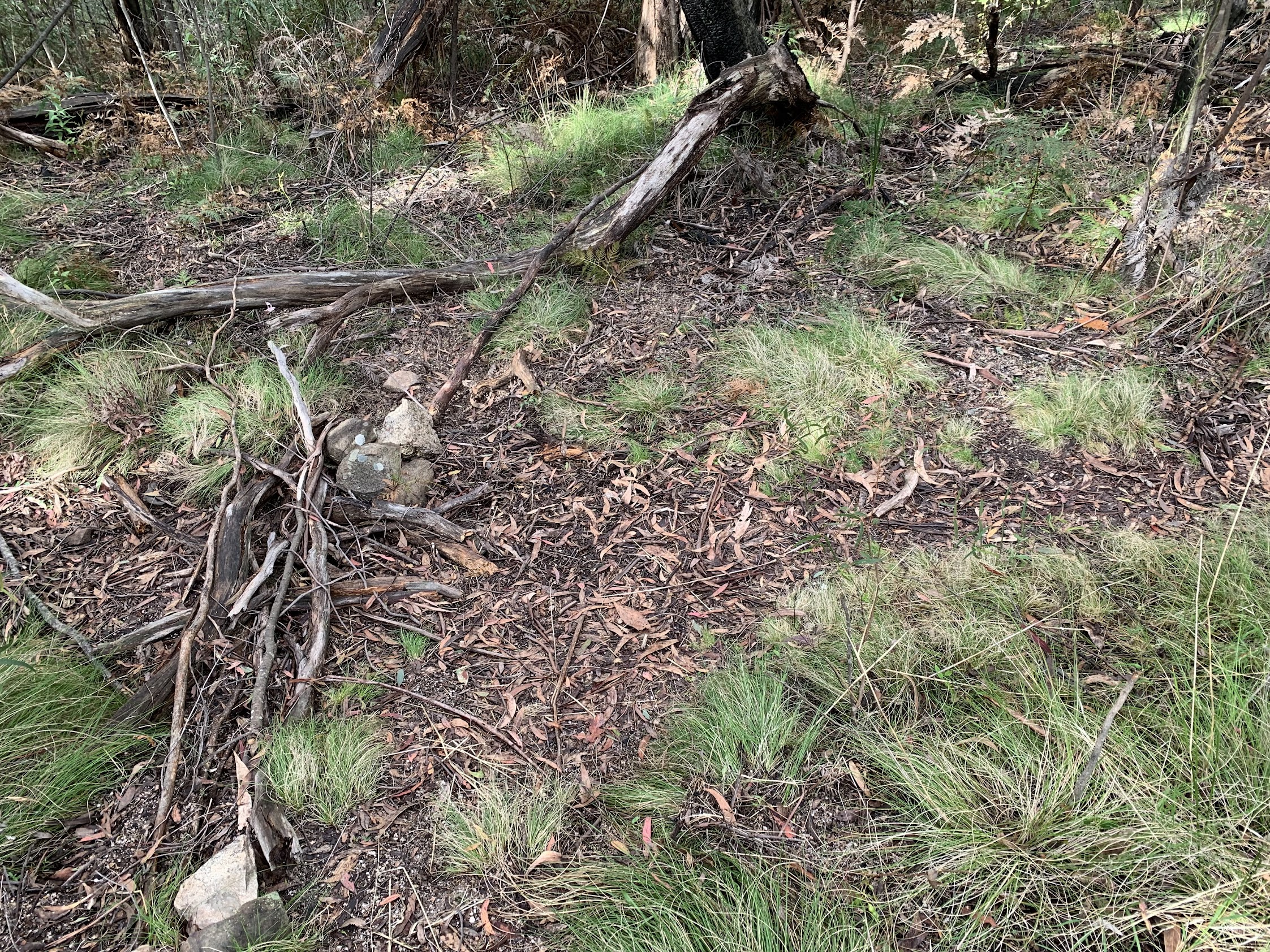
There’s a pad-side boulder near where the Snowy Corner route used to start, but you just follow your nose now.

Boulder very near start of Snowy Corner footpad
On the lower part of the footpad there were orchids every few metres. A great season for them everywhere this year.

Orchids
The real up begins.

Snowy Corner footpad at 1100m contour
So did my gasping, relieved by the search for 3 geocaches on the way to Snowy Corner and 1 more closer to Tidbinbilla Mountain. The first was GC8XGZ4 Mountains of the World – Kangchenjunga. Caching confidence enhanced, although it was only difficulty 1.5 out of 5.
Through the scree area. Steep.

Snowy Corner footpad at scree at 1170m contour
Next major stop was at the bench and stool.

Seat and stool
Another geocache nearby, GC8E4R7 Tidbinbilla Throne, that took quite a while to find. But difficulty 4.5 out of 5, so caching confidence soaring.
The second part of the climb to the crest of the ridge seems a fraction easier, but it still rises from 1170m to 1440m. Another cache near the top, GC8XGYG Mountains of the World – K2.
Reached the top.
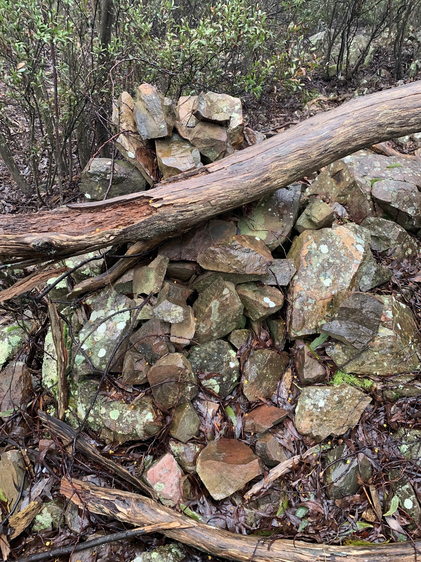
Snowy Corner cairn
Here the pad turns north and traverses through shoulder high shrubs. Wet, so I put my coat on.

Footpad 2 minutes north of Snowy Corner cairn
After 250m it breaks out onto an open area.

‘Open area with cairns’
Back in the scrub the footpad skirts a small rocky ridge. I think we used to walk the ridge several years ago.

Footpad skirts small rocky ridge
A few hundred metres further on, another open area.
There’s a small cliff line on the SE approach to Tidbinbilla Mountain. Just before it, the last geocache for the trip, GC8XGXZ Mountains of the World – Mt Everest. The Footpad skirts the cliff, with ‘Cairn 1’ and ‘Cairn 2’ showing the way. I missed the pad going up and climbed over the low end of the cliff-ette.

Small cliff between ‘Cairn 1’ and ‘Cairn 2’ which footpad skirts
A 90° turn at the top at ‘Cairn 2’.
The final approach to the top is from the SE, then a turn to the west at ‘Cairn 3’. There’s a cairn on a large block which marks the top of the descent, the footpad I’d come up. Perhaps an important marker in adverse conditions. It’s actually not visible from the flat top of the hill. ‘Small cairn’ is (see the map segment below).

‘Descent cairn’ from Tidbinbilla Mountain for Snowy Corner pad
The new (to me) logbook container on Tidbinbilla Mountain stands out. Pretty cold in the wind and showers. No view. I didn’t dally.

Tidbinbilla Mountain cairn and logbook holder – no view
It was nice to get back down out of the wind. The footpad pretty slippery in the wet. Nothing special, just return. A little way down from Snowy Corner, there was an area of trees you could liken to a lichen forest.

Lichen forest
A bit further down, the only sun and view of the day. Passed two parties of two guys each heading up as I came down.

Only sun, only view descending from Snowy Corner
Today’s big butt not so big.

Today’s big butt is not so big
I didn’t stop, apart from gasps and geocaching, so enjoyed smoko and lunch sitting in the car out of the showers.
Track Maps
Here’s where I went, on OZrasterNSW maps, ©GPSOZ.

Track overview Tidbinbilla Mountain via Snowy Corner

Track 1 Tidbinbilla Mountain via Snowy Corner

Track 2 Tidbinbilla Mountain via Snowy Corner

Track detail Tidbinbilla Mountain via Snowy Corner
The AllTrails map is here, where you can pan and zoom.
Timings
I pulled the geocaching stops out of the times and got:
| From | To | Distance | Time |
| Ascent | |||
| Car park | Bottom of spur pad | 1.1 | 0:25 |
| Bottom of spur pad | 2 benches | 0.8 | 0:43 |
| 2 benches | Snowy Corner cairn | 0.64 | 0:38 |
| Snowy Corner cairn | Tidbinbilla Mountain | 1.1 | 0:50 |
| Descent | |||
| Tidbinbilla Mountain | Snowy Corner cairn | 1.04 | 0:36 |
| Snowy Corner cairn | Car park | 2.4 | 1:03 |
Well, well, well. On 27 May 17, the climb to Snowy Corner took 1:33. Today it was (less caching time) 1:21.
Relive the Trip
Party
Just moi.
Mike
26 October , 2022 8:24 pmWell done. You are fitter than you think!
Johnny Boy
26 October , 2022 8:27 pmThanks Mike. But you should’ve counted the gasping stops!
Mike
26 October , 2022 8:32 pmYou were gasping instead of geocaching? You are now making better use of your time ?.