
Oakey Hill #9 2.42pm
Sunday 12 May 2024: Urban Worn Boot Bash * – L/E. The Worn Boot Bash first ran in 2002 and has done so every year since (except for 2010, 2016 and the Covid years 2020, 2021). See its history here. The ‘rules’ require a ‘walk of around 30km and a few hills’. Let’s do a lap of Woden, summitting Mt Taylor, Farrer Hill, Mt Wanniassa, YA90 trig, Mt Mugga Mugga, Davidson Hill, Red Hill, Reef Hill and Oakey Hill. Around 30km and 970vm. A slow pace up the hills. Could take 9+ hours. Sun times 6:22 (just see), 6:49 (sunrise), 17:11 (sunset), 17:38 (last light).
Summary
From Garmin Connect (recorded on MAP66i) – Distance: 33.81km | Climb: 1035vm | Time: 7:30 moving +1:46 of stops = 9:16 | Grading: L/E-M; H(13).
Photographs
View photographs here.
gpx file
Download the gpx file here.
Track Map
Here’s where we went.

Track Worn Boot Bash
Trip Report
The last time I was on a Worn Boot Bash was 19 Oct 19.
It was dark when we arrived at the start, off Colquhoun St Kambah. But by the time we were ready to walk, torches were not really needed. Away at 6.33am.
Bound 1 – Start to Mt Taylor with a short pause at the Bluff for views. The main ascent was via a footpad. 1.7km in 0:38.

Mt Taylor #1 at 7.11am
Bound 2 – Mt Taylor to ‘Farrer Hill’, rain jackets required for some of this. Very light showersthat ceased for the rest of the day. 4.3km in 0:57.
Bound 3 – ‘Farrer Hill’ to Mt Wanniassa. 2.1km in 0:38.

Mt Wanniassa #3 at 8.45am
Bound 4 – Mt Wanniassa to YA90 trig. 4.7km in 1:18 including smoko.

YA90 trig #4 at 10.02am
Bound 5 – YA90 to Mt Mugga Mugga. This was the most pleasant leg. Nice off-track going. We handrailed outside the fence up around the quarry. The old boiler at the top has gone.

Mt Mugga Mugga #5 11.01am
Bound 6 – Mt Mugga Mugga to ‘Hindmarsh Hill’. A nice off-track descent from Mt Mugga Mugga until we had to take our lives in our hands to cross Hindmarsh Drive. I was convinced to include the so called ‘Hindmarsh Hill’ but would only promote it to half a hill. 1.1km in 0:28.

‘Mt Hindmarsh’ #5.5 11.29am
Bound 7 – ‘Hindmarsh Hill’ to Davidson Hill. 1.4km in 0:21.

Davidson Hill #6 11.49am
Bound 8 – Davidson Hill to Red Hill. We had lunch at a table by the gutted Red Hill restaurant – will be great when it’s refurbished and open. The real Red Hill is an insignificant minor control point. 1.7km in 0:43.

Red Hill #7 12.33pm
Bound 9 – Red Hill to Reef Hill. Once down on Kent Street the walk became easier, flatter and more urban. The plan was to cross Yarra Glen and Yarralumla Creek, which is a storm water channel. Jonathan, our local guide when we picked him up on Carruthers Street, had reminded me that the channel sides are around 1 metre high. So short-legged walkers might not cope. We wimped out and walked the footpaths of Carruthers St.

Yarralumla Creek storm water drain 1.10pm
We rounded the NE corner of Curtin. Walked the other side of the Cotter Road wall.
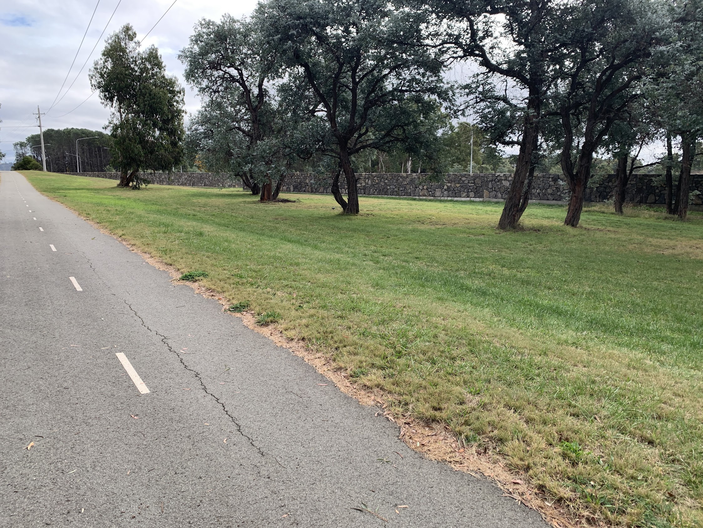
Behind the Cotter Road wall 1.34pm
Through the Illoura Horse Paddocks and out to Heysen Street. Even if I do say so myself, my navigation to this point was immaculate. However, I didn’t listen carefully enough to Jonathan when he queried why we were passing under the Tuggeranong Parkway. A small about turn whoopsie and up to Reef Hill. Reef Hill marked on the map, but the Collin minor control. 8.3km in 1:50. An attempted group selfie.

Reef Hill #8 2.24pm
Bound 10 – Reef Hill to Oakey Hill. 1km in 0:18. Chris shared a monster iced caramel cake with us allA kind stranger snapped us all – the highlight of the day.
Oakey Hill #9 2.42pm
Bound 11 – Oakey Hill to end. 4.2km in 1:07. Whew.

Worn Boots at the end 3.50pm
Huge thanks to my good mate Phillip S who was on duty all day to retrieve anyone who conked out.
Thanks all. Trust you enjoyed it. Looking forward to the real Worn Boot Bash later min the year.
Party
8 walkers – Jenny A, Chris D, Ming L, Jonathan M, Noelia P, Sandra T, Khuong V, me.
AllTrails
The AllTrails map is here, where you can pan and zoom.
Johnny Boy’s Walkabout Blog FaceBook Page
I’ve started up a FaceBook page. Each trip report posts to it. It’s another way to get some info to get out and breathe a bit of fresh air. Why not pop over and Follow the page, or give a post a Like.