20 December

View to Mt Tennent from Farrer Hill
Tuesday evening 20 December 2022: Evening summertime stroll – Farrer Ridge and Wanniassa Hills Nature Reserves * – S/E. Meet at 6.00pm in the car park off Athllon Drive at the north-west entrance to the Farrer Ridge Nature Reserve. We’ll walk a few of the management trails and open spaces of Farrer Ridge NR, including Farrer Hill for views. We’ll exit via the scrubby southern face, then under Erindale Drive to take fire trails to Mt Wanniassa. Around 8km and 300vm climb. Bring a head torch. No need to book, but appreciate it if you do. Help a pedantic pensioner walk in all 39 of the CNP Reserves.
Sunset at 8:17pm, civil twilight (just see) 8:47pm.
Canberra Nature Park – a breath of fresh air for busy walkers. There are 39 Nature Reserves in the Canberra Nature Park. How many can we walk in? These are numbers 34 and 35.
Summary
From Garmin Connect – Distance: 7.71km | Climb: 313m | Time: 1:52 moving + 0:18 of stops = 2:10 | Grading: S/E; E(7).
Photographs Photographs are available here.
gpx File The gpx file is available here.
Track Notes
I was last in Farrer Ridge NR on 19 Jun 22 and on Mt Wanniassa on 29 Nov 22.
Not a good car park. A large wash or two across the entrance. We parked on the verge of Athllon Drive.
Paralleled Athllon Drive and Sulwood Drive, then turned up to the bottom of the Farrer Hill Trail. A puff up for me. Views over suburbia to distant hills.
I offered my companions a direct southern decent through a bit of scrub or a wimpy fire trail option. They chose the latter. We looped down to an underpass under Erindale Drive, then climbed via fire trail to Mt Wanniassa.
Back through the underpass, a more direct route back. Finished at 8.10pm.
Nature Reserves #34 and #35 ticked off. Closing in on 39 out of 39.
A great group of walkers.
Track Map
Here’s where we went.

Track Farrer Ridge and Wanniassa Hills NRs
Party
11 walkers – Mike B, Andrea C, Marlene E, Richard H, Ming L, Joanne L, Tilly T, Sandra T, Ana V, Tim W, me.
Johnny Boy’s Walkabout Blog FaceBook Page
I’ve started up a FaceBook page. Each trip report posts to it. So it’s another way to get some info to get out and breathe a bit of fresh air. Why not pop over and give it a Like.
________________________________________________________________________________________________________________
21 December

Grasslands indeed
Wednesday 21 December 2022: A recce of Dunlop Grasslands and Jarramlee-West MacGregor Grasslands Nature Reserves ! – M/E-M,ptX. A recce of the last 2 Nature Reserves in the Canberra Nature Park.
Summary
From Garmin Connect – Distance: 17.90km | Climb: 346m | Time: 4:06 moving + 0:59 of stops = 5:05 | Grading: L/E-M,ptX; M(10).
Photographs Photographs are available here.
gpx File The gpx file is available here.
Track Notes
I was last in Dunlop Grasslands NR on 8 Jun 15. Never been to Jarramlee-West-MacGregor Grasslands NR before.
Parked in Bunns St Fraser and walking by 7.32am.
Visited the Osage-orange trees, not fruiting season.

Osage-orange trees
Turned NW along the NR border. Long grass!

Bobbed up beside us
West onto the Bicentennial National Trail (BNT), mowed.

Mown strip
Quite a number of gates and fences to cross during the trip. A couple of the gates were a bit difficult. Plenty of photos of them in the photo album to remind me of the issues when I put this trip on again.
Left the BNT and walked north down to the straight line border beside Gooromon Ponds. Spotted a few border markers in the long grass – Unknown lockspit 1, Unknown lockspit 2, 120000 Fifteen Mile CB, 118773.3 Gas Pipe covered by Mound.

120000 Fifteen Mile CB
Nice stretches in Gooromon Ponds as it looped away from us.

A pond in Gooromon Ponds
Remember the final scene in ‘Gladiator’?

We were like Russell Crowe the ‘Gladiator’ walking through the fields
Next feature of note was West Belconnen Pond, which we passed via its NW wall.

West Belconnen Pond
A ‘The Straight Line Border’ sign came up next, but if you followed the border SW you don’t see any border markers.

The Straight Line Border signage
Crossed Gooromon Ponds as it curved back into the ACT.

Concrete ford over Gooromon Ponds
Crossed Jarramlee Road at 9.15am. Over a difficult locked gate and into Jarramlee NR. New country for me. Next port of call was Stony Knob. Pleasant views to the SW.

View to the Brindabellas from Stony Knob
We stopped for morning tea in the shade of a few trees. This trip through grassland NRs has little shade, so it will need to not be a hot day when I put it on the CBC program. Off again at 10.08am, heading for some small cliff lines I’d seen on Ginninderra Creek via satellite imagery. A couple of wet steps in the shallow water.
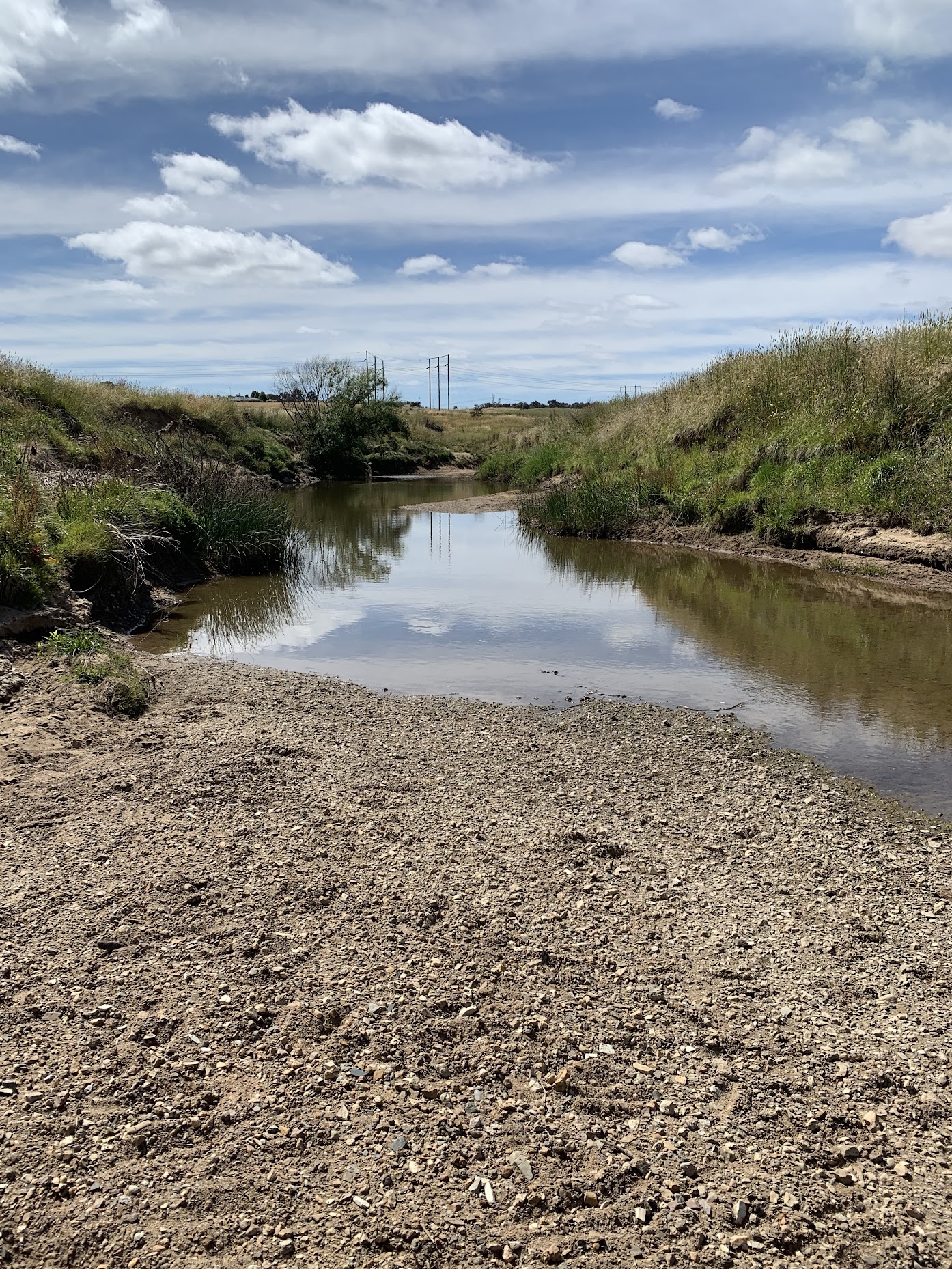
Ginninderra Creek downstream from our crossing
We gained the fence border of the NR, as the Parkwood chicken shed were quite close. So a turn to the SE. Incredible flood debris, over 60m away from the creek bed.

Flood debris 65m out from Ginninderra Creek
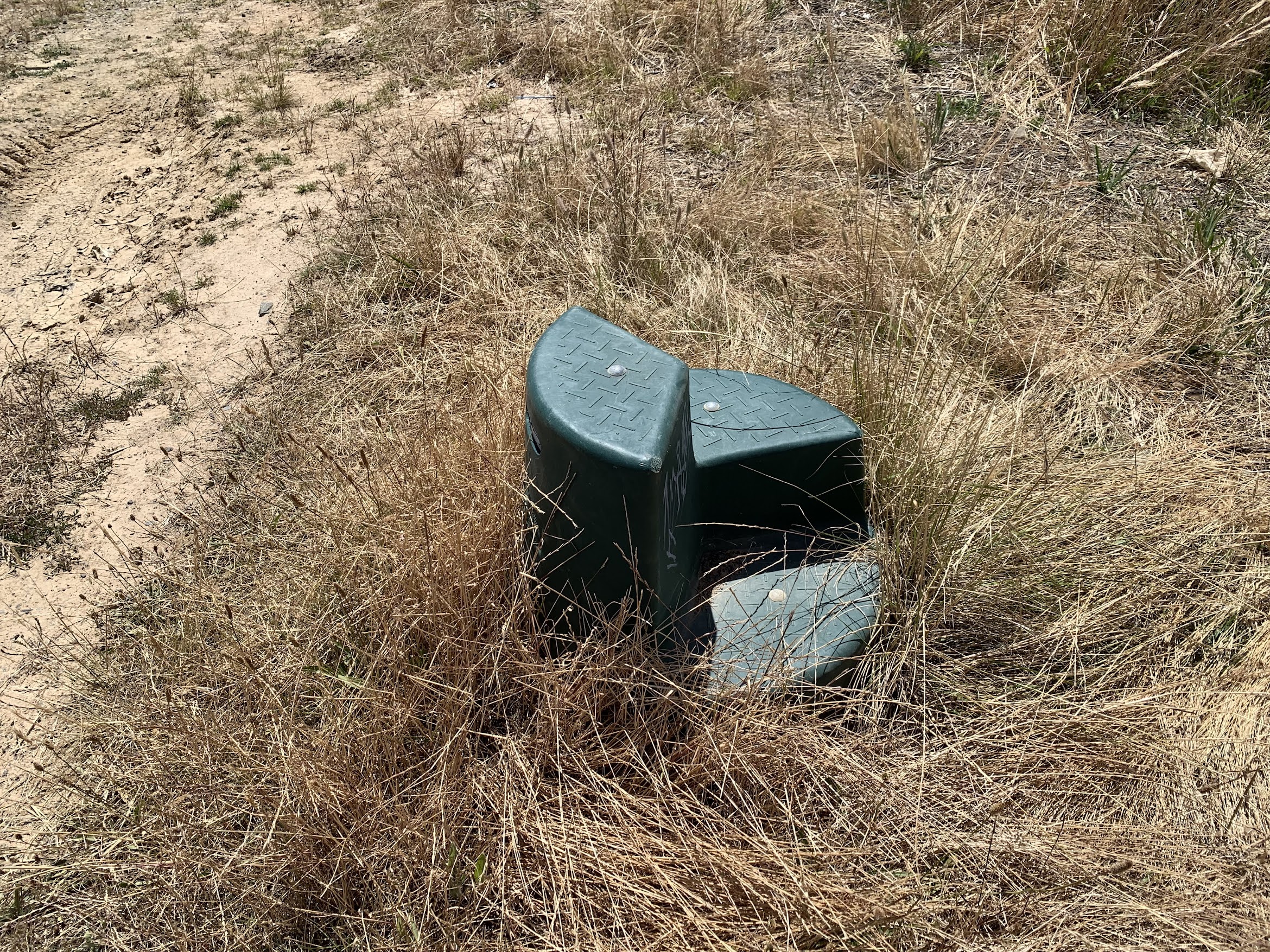
Fences and gates to negotiate, then a stop at a wonderful tourist attraction!

West MacGregor 2 Odour Control Unit
I must have been so taken by it that I missed a turn onto the BNT. As a result we had a long 3 sides of a rectangle to walk, rather than a short 1 side. But we did get to cross Ginninderra Creek again and visit Jarramlee Pond.

Jarramlee Pond
We walked NW on bike path for a while, then dropped down to a slightly more pleasant route. Turned left and crossed Ginninderra Creek again via another concrete crossing. Flood debris evident.

Debris curtain at Ginninderra Creek concrete crossing 2
Nearby was the confluence of Ginninderra Creek and Gooromon Ponds.

Confluence of Ginninderra Creek and Gooromon Ponds
Some interesting layered cliff-ettes.
I put in a query to Doug F, a longtime walking acquaintance and heavyweight at the ACT Division of the Geological Society of Australia. He quickly responded:
“Just like any river system the sediment that is brought downstream is dependent on the geology of the catchment area. This changes over time as the river system changes course over long periods of time. So sometimes you will have a gravel brought down the river during storms, at other times it may be a sand, or a silt or a mud. Thus, different coloured layering occurs when the sediment sinks to the riverbed.”
And another query to Peter W, another geological heavyweight and walking companion. He responded:
“Four different types of depositional layers, representing four events. Described from the base.
At the base stream/river gravels with week dipping layering due to the unevenness of the stream bed at the time of deposition – flood deposits.
Thick deposited silts deposited from slow moving water, these are more weathered at the base due to the iron in the silt being oxidized from Fe2O3 to FE3O4. Within this there are two or three whiter layers, where even more leached clay has been deposited, or the composition was more clay rich and the clay has changed to another clay.
Above this are two darker layers due to two soil layers, two events, in both layers the top part is darker due to more humus in the soil.
The top thick yellowish layer is silt from elsewhere, deposited last with minimal organic material.
The likely history is that the upper dark layer is the ground level before clearing, and the upper yellowish layer is due to of erosion of the surrounding soils due to white-man clearing.”

Layered cliffette at confluence of Ginninderra Creek and Gooromon Ponds
Some great devices back on the BNT.
For jumping on and off your horse
A bit footsore as we plodded up Jarramlee Road to the border, NE along it and round the SE side of West Belconnen Pond. No navigational challenge NE of the Pond.

The long way ahead
We left the BNT to take a more direct route back to Binns Street, but found ourselves in more long grass and with fences and gates to cross. The last gate was a difficult climb due to the home tomato stakes and broken mesh.

Gate 6 – hard to cross
Thanks for your company Phillip. A couple of places I wanted to visit and, of course, a recce for the last of my 39 Nature Reserves in Canberra Nature Park.
Track Maps
Here’s where we went.

Track overview Dunlop Grasslands and Jarramlee-West MacGregor Grasslands NRs

Track 1 Dunlop Grasslands and Jarramlee-West MacGregor Grasslands NRs

Track 2 Dunlop Grasslands and Jarramlee-West MacGregor Grasslands NRs
The AllTrails map is here, where you can pan and zoom.
Party
2 walkers – Phillip S, me.
Johnny Boy’s Walkabout Blog FaceBook Page
I’ve started up a FaceBook page. Each trip report posts to it. So it’s another way to get some info to get out and breathe a bit of fresh air. Why not pop over and Follow the page, or give a post a Like.