LIKE WHAT YOU SEE? WHY NOT SUBSCRIBE TO GET EMAIL NOTIFICATION WHENEVER A NEW TRIP REPORT IS POSTED

A frosty reception starting in the Farrer Ridge NR
We will walk along Farrer Ridge then through Wanniassa Hills to Fadden From there we will follow a section of the Centenary trail to Long Gully road and then a horse trail to Farrer Ridge Reserve. A different route across Farrer Ridge takes us back to our vehicles. About 12 km and accumulated ascent/descent of 430m. We will be home in time for lunch.
Summary
Distance: 12.0km | Climb: 391m | Time: 3hrs 45mins with 15mins of stops |
Grading: M/E; M(8).
Photographs
Photographs are available here.
gpx File
The gpx file is available
here.
Depending on the desktop and mobile apps you use, you can do many things with a gpx file to visualise its contents. One way is to open it in
GPS Visualizer. At the Get started now! box on the landing page, in the Upload a GPS file: area, Browse to a gpx file and activate the Map it button. Activate the view link to see the data on a full page map.
For this trip’s gpx file, you’ll get – all for no cost:

GPS Visualizer map
Track Notes
For long time blog readers you’ll know that I can be a little pedantic. I have walked in these areas before, as in:

My walks Farrer Ridge and Wanniassa Hills
Today was a lovely day, weather-wise, once the sun crept up over Mt Wanniassa. Our start was in the shade beside Sulwood Drive and a little frosty to begin. A popular area, as there was a Canberra Walking and Other Adventures Meetup group starting from the Athllon Drive PCS Depot at 9am.
We wended our way via tracks to Farrer Hill. Although it hasn’t rained for a week, the ground is still quite sodden. A bit of a puff up the access track from the NW to nice views.

View to Mt Tennent from Farrer Hill
The track descended to the E then S and SW to the underpass at Erindale Drive.

Erindale Drive underpass
From there it was management tracks and another puff up the SW spur of Mt Wanniassa to the trig.

Wanniassa trig
Panoramic views over suburbs to the nearby hills.

Mt Rob Roy (centre) and Mt Tennent (right) from Mt Wanniassa
We followed the track down the NE spur with bike riders powering up the track. Lost property at the track junction.

Anyone lost a sock?
The junction includes the northern end of the Karralika FT, a track that ends up in the south at MacArthur Hill.

Northern end of the Karralika FT
We followed it S, cut a corner, then paused for morning tea just up off the track on its E side.

A detour off the fire trail near morning tea
Next, across the N edge of MacArthur, our passing stirring up backyard dogs to bark. Then, via a temporary detour in the Canberra Centenary Trail, down to the open horse paddocks and ugly (but necessary) transmission lines.

Canberra Centenary Trail signage at the Jackie Howe Crescent temporary CCT realignment
North to the edge of Long Gully Road, paralleled it for a bit, then under.

Long Gully Road underpass
The N edge of Long Gully Road is a little nicer, damper with frogs croaking in the drainage line. A short incursion into the Isaacs Ridge NR.

A brief foray into the Isaacs Ridge NR
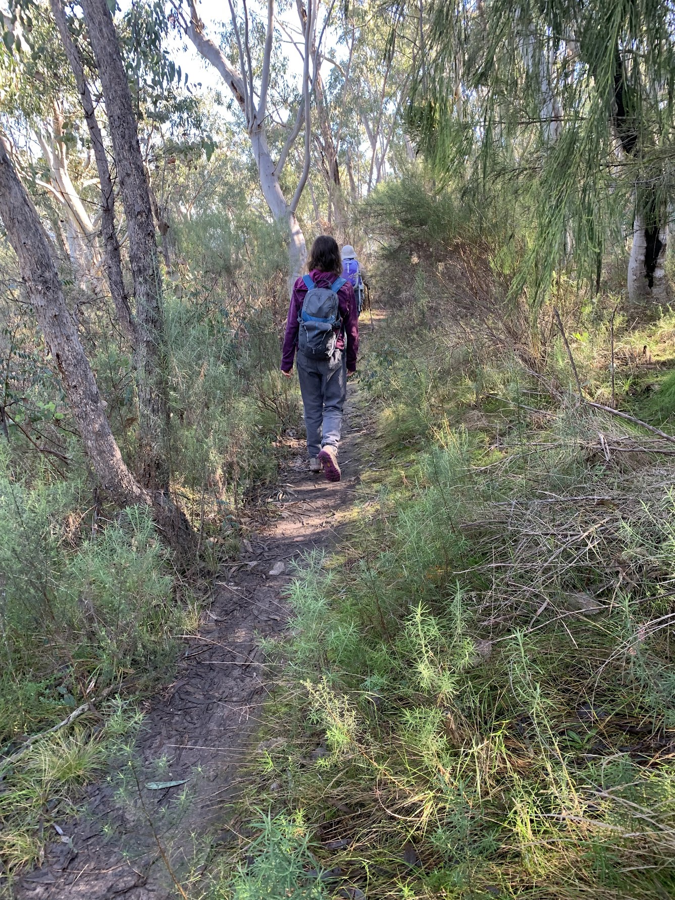
As with a good deal of this morning’s track, shared with other users.

Trail courtesy
Under Yamba Drive and we were back in our first Nature Reserve.

Approaching the Yamba Drive underpass
Returning to the start, we followed some nice bush tracks across the S flank of Farrer Hill.
Pleasant footpad on the south flank of Farrer Hill
Track Map

Track Farrer Ridge and Wanniassa Hills
You’ll find the track in AllTrails
here, where you can pan and zoom.
Party
10 walkers, Phillip S leader.
Beat Oppikofer
19 June , 2022 4:24 pmhow many km’s are on sealed roads or gravel roads to walk?
i try to avoid them ….
your “Pleasant footpad” photo is ok to walk on ….