last updated 14Mar26
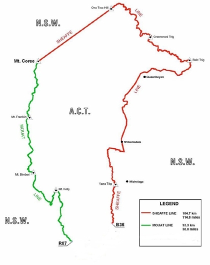
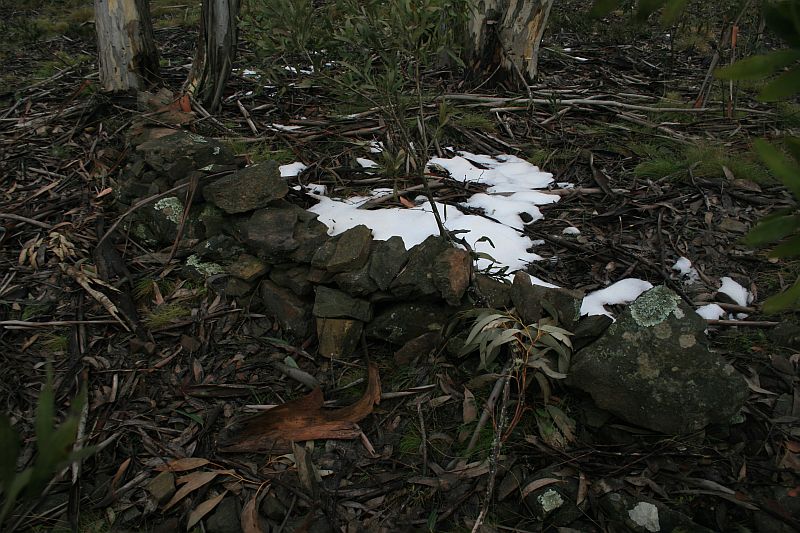
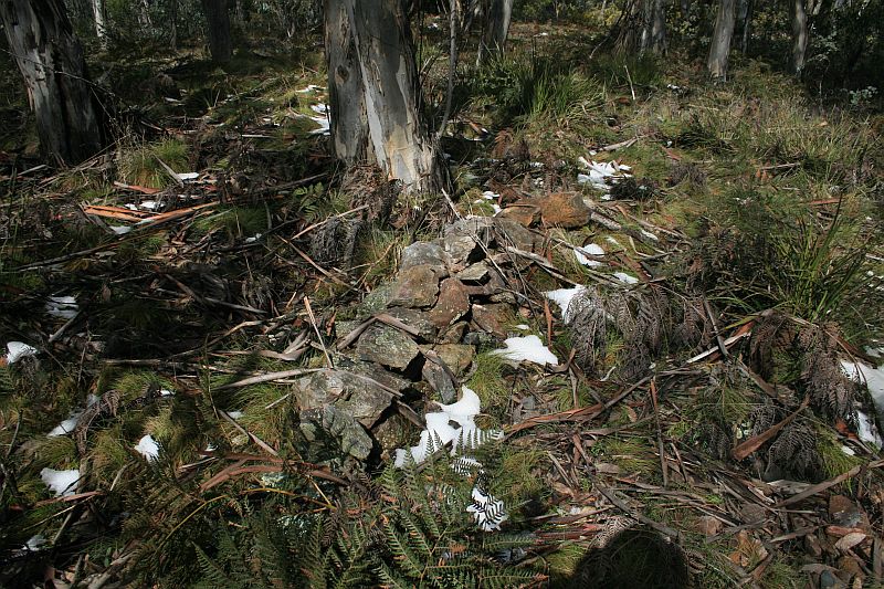
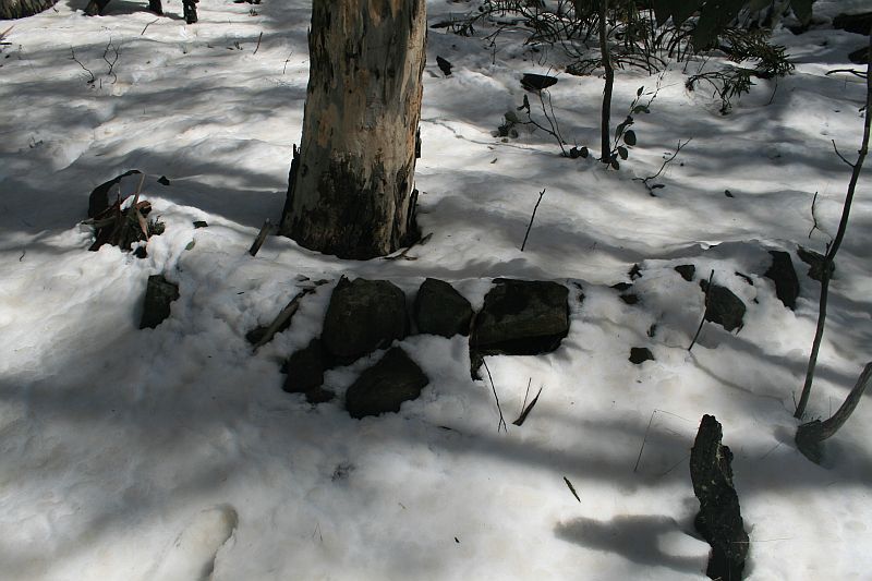
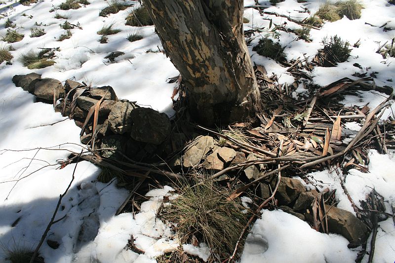
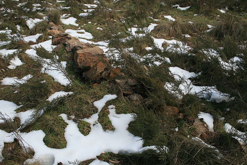
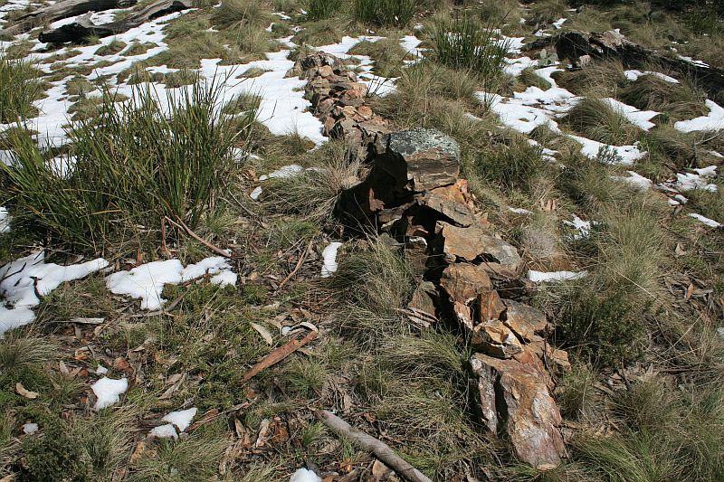
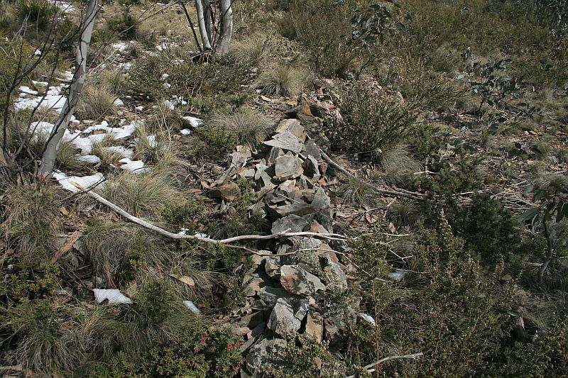
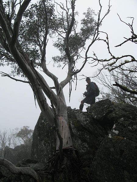
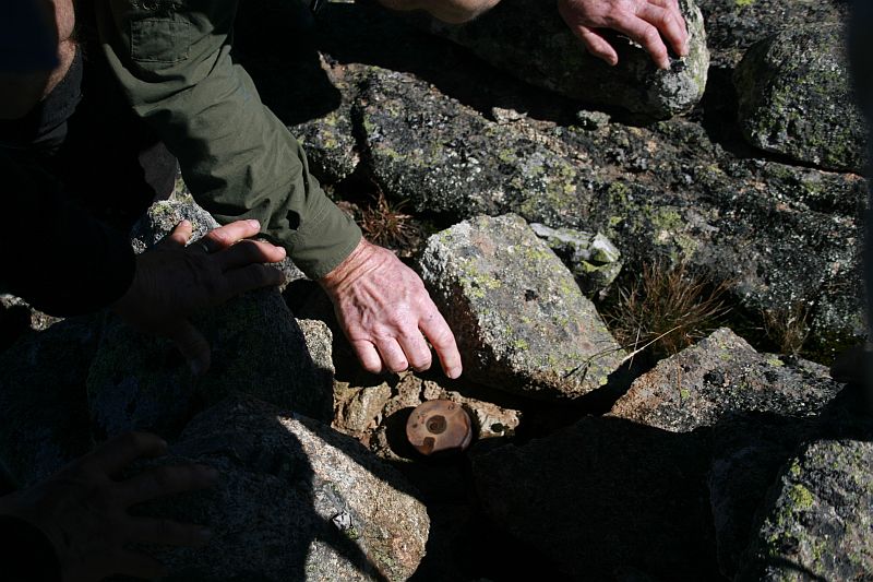
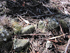
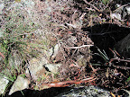
Mouat Line
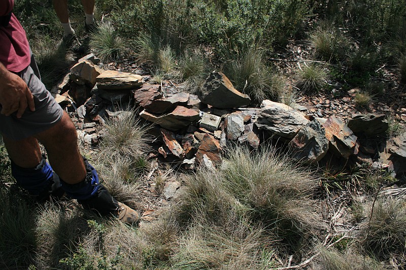
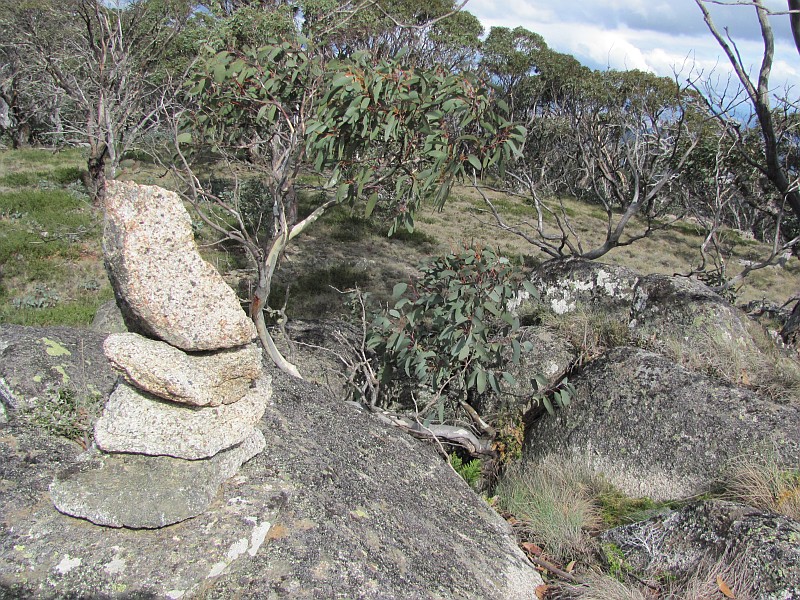
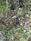
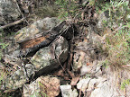
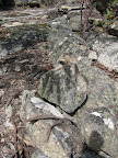
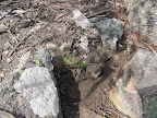
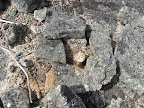
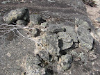
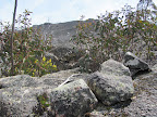
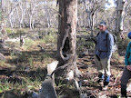
Have a look at an album of Mouat Line Border Markers, Mile Markers and Blaze Trees.
If you’re accessing the photos via the thumbnails below, after doing so, give the photo a second click to see the border marker name in the Info item.
Download a gpx file of the Mouat Line Border Markers, Mile Markers and Blaze Trees. 701 points.
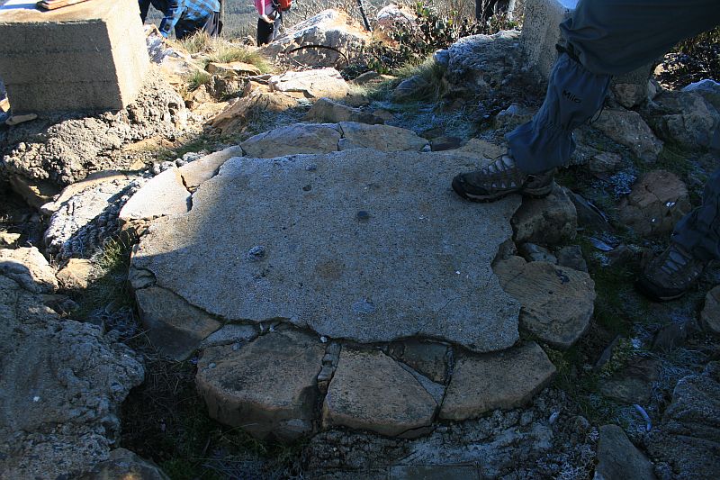
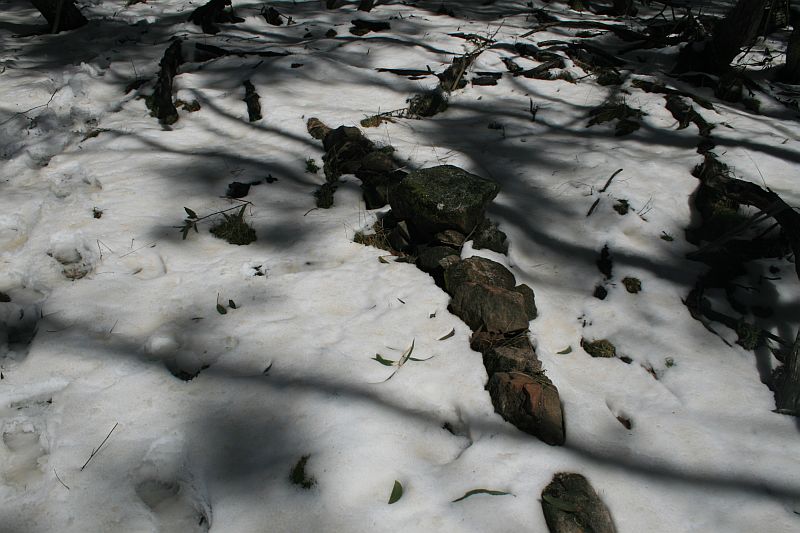
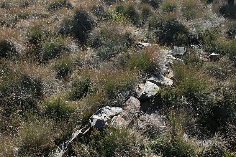
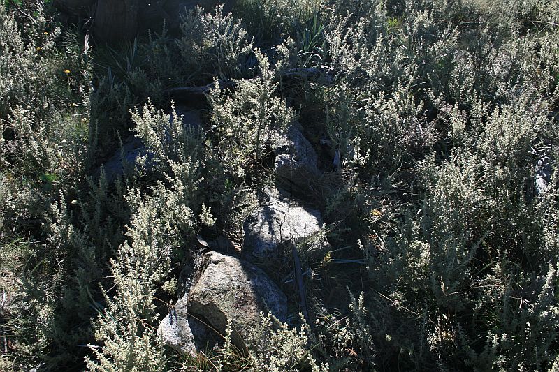
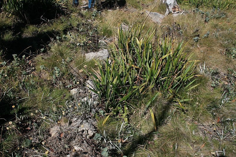
Border Markers from Mt Coree to Piccadilly Circus
Border markers in this area are covered in the digitised original field book A 1008 – Coree to P51 – FC18 sheet 13 – (PDF 13.6 mb):
| Border Marker No | Comment from Survey Notes5 | ACTPLA Location UTM4 55H (MGA) |
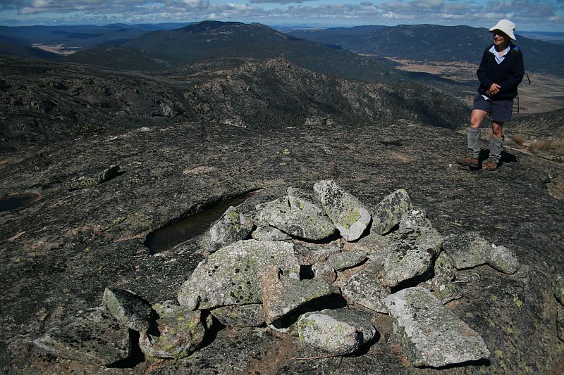
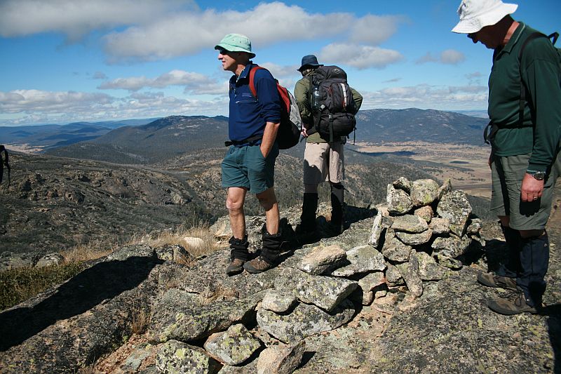
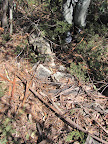
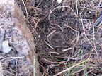
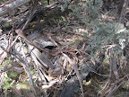
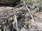
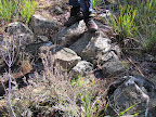
Visited – click on a date for a walk report | Click on a thumbnail below to see the full sized Picture |
| Coree | Trig | 664566.702-6091358.403 | 25 May 10 7 Jul 09* |
 |
| A50a | 8″ Post | 664523.304-6091285.968 | 25 May 10 7 Jul 09* |
 |
| A50 | 8″ Post | 664364.367-6091102.740 | 7 Jul 09* |  |
| B50 | 664348.428-6091034.659 | 7 Jul 09* | 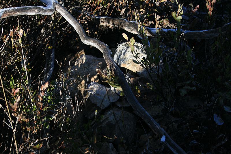 |
|
| C50 | 8″ Post | 664305.308-6090976.035 | 7 Jul 09* | 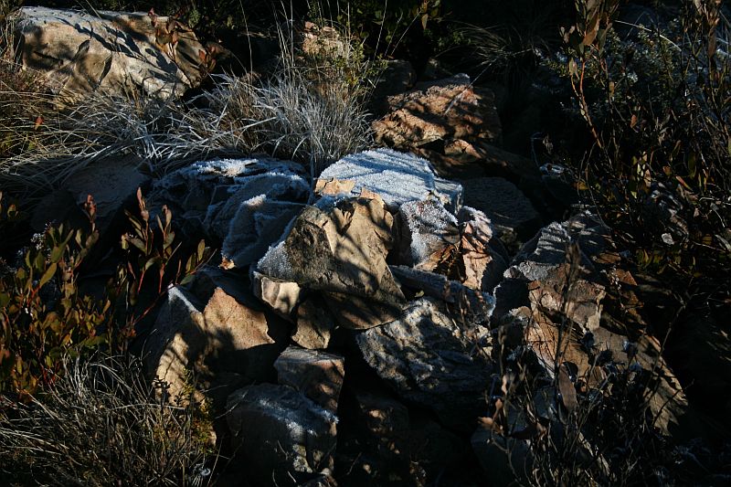 |
| D50 | 8″ Post | 664272.264-6090900.468 | 7 Jul 09* | 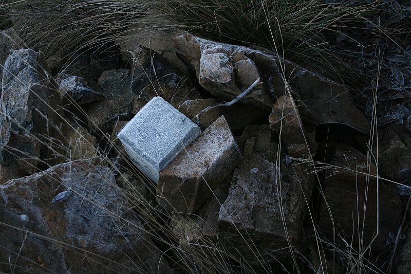 |
| E50 | 8″ Post | 664114.168-6090562.552 | possibly found 25 May 10 not found 7 Jul 09 |
|
| F50 | 8″ Post | 663965.555-6090335.347 | not found 7 Jul 09 |
|
| G50 | 8″ Post | 663939.368-6090192.403 | not found 7 Jul 09 |
|
| H50 | 8″ Post | 663878.325-6089998.344 | 7 Jul 09* | 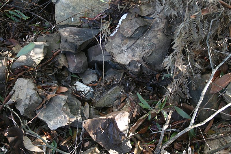 |
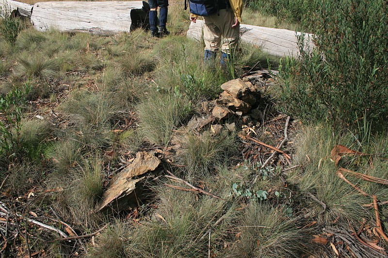
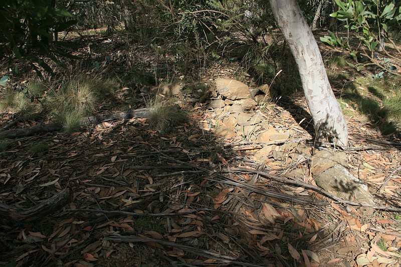
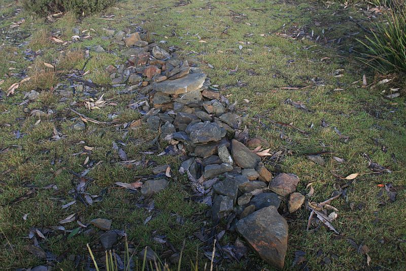
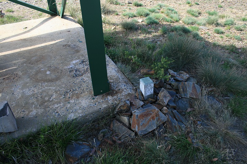
| 1 Mile | Concrete block and bolt covered by cairn | 663839.616-6089948.172 (calculated) |
7 Jul 09* |  |
| I50 | 8″ Post | 663713.600-6089784.778 | 7 Jul 09* |  |
| J50 | 8″ Post | 663800.676-6089497.633 | 31 Jul 12 7 Jul 09* |
 |
| K50 | 8″ Post | 663816.514-6089355.421 | 7 Jul 09* |  |
| L50 | 8″ Post | 663801.004-6089251.706 | 7 Jul 09* | 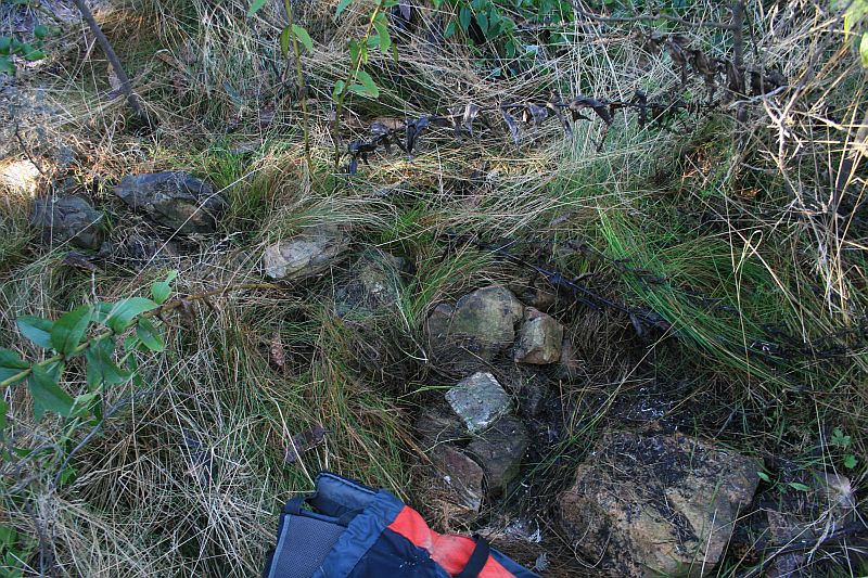 |
| M50 | 8″ Post | 663757.179-6088962.519 | not found 31 Jul 12 |
– |
| N50 | 8″ Post | 663634.918-6088819.737 | 31 Jul 12* |  |
| O50 | 8″ Post | 663459.775-6088644.486 | 31 Jul 12* |  |
| 2 Mile | Concrete block and bolt covered by cairn | 692881.392-6110915.510 (calculated) |
not found 31 Jul 12 |
– |
| P50 | 8″ Post | 663378.865-6088453.103 | 31 Jul 12* |  |
| Q50 | 8″ Post | 663156.833-6088162.016 | 31 Jul 12* |  |
| R50 | 8″ Post | 663071.919-6087978.181 | 31 Jul 12* |  |
| S50 | 8″ Post | 662994.960-6087872.623 | 31 Jul 12* |  |
| T50 | 8″ Post | 663166.292-6087557.731 | not found 31 Jul 12 2 Feb 10 |
in the black berries! |
| U50 | 8″ Post | 663211.731-6087366.273 | 31 Jul 12 2 Feb 10* |
 |
| V50 | 8″ Post | 663264.760-6087119.626 | 2 Feb 10* |  |
| 3 Mile | Concrete Block and Bolt covered by cairn | 663271.567-6087100.299 (calculated) |
2 Feb 10* |  |
| [1″ Pipe in ground covered by cairn] | 2 Feb 10* |  |
||
| W50 | 8″ Post | 663285.481-6087060.806 | 2 Feb 10* |  |
| X50 | 8″ Post | 663447.791-6086862.726 | 2 Feb 10* | 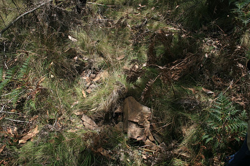 |
| Y50 | 8″ Post | 663494.709-6086615.487 | 2 Feb 10* |  |
| Z50 | 8″ Post | 663497.951-6086280.534 | 2 Feb 10* |  |
| A51 | 8″ Post | 663482.231-6086180.461 | 2 Feb 10* | 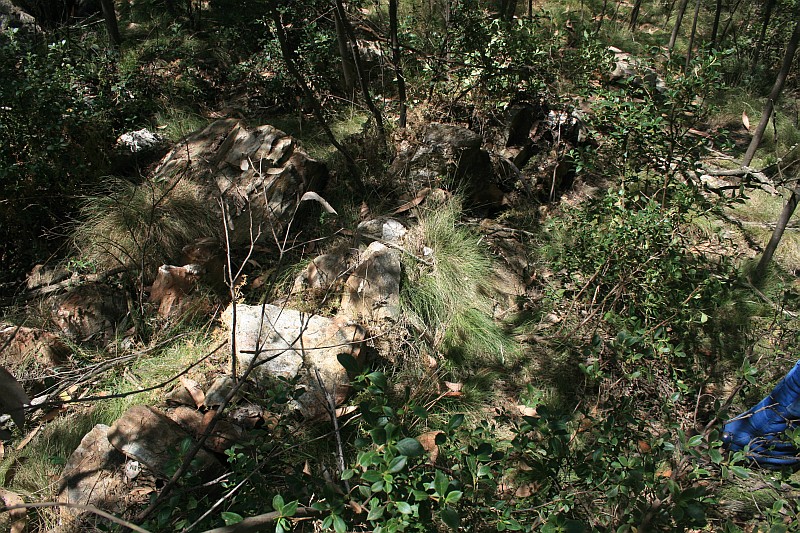 |
| B51 | 8″ Post | 663428.552-6086029.435 | 2 Feb 10* | 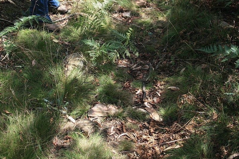 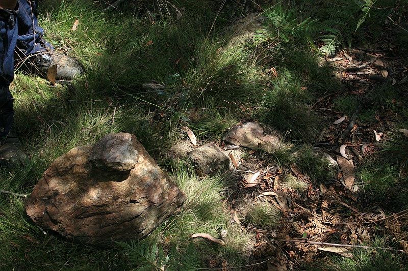 |
| C51 | 8″ Post | 663335.940-6085902.862 | 2 Feb 10* |  |
| D51 | 8″ Post | 663242.596-6085727.565 | 2 Feb 10* |  |
| 4 Mile | Concrete Block and Bolt covered by cairn | 663346.457-6085700.778 (calculated) |
2 Feb 10* | 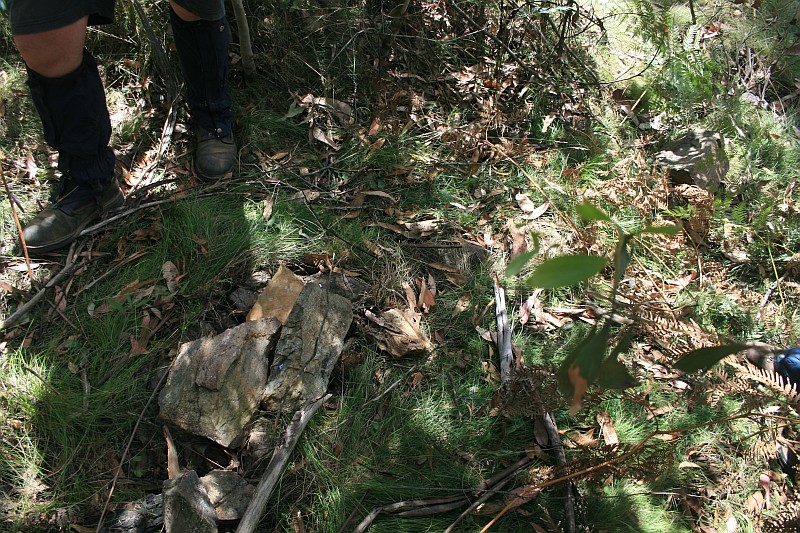 |
| E51 | 12″ Post set off 50 links square from centre of formation | 663500.857-6085660.977 | 2 Feb 10* | 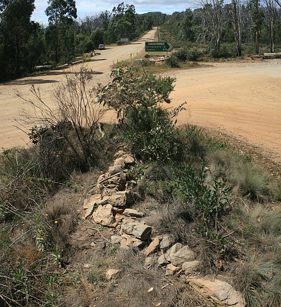 |
Border Markers from Piccadilly Circus to Bulls Head
Border markers in this area are covered in the digitised original field books A 1008 – Coree to P51 – FC18 sheet 13 – (PDF 13.6 mb) and A 1010 – P51 to B54 – FC18 sheet 13 – (PDF 13.3 mb):
| Border Marker No | Comment from Survey Notes5 | ACTPLA Location UTM4 55H (MGA) |
Visited – click on a date for a walk report | Click on a thumbnail below to see the full sized Picture |
| F51 | 8″ Post | 663610.435-6085513.716 | 2 Feb 10* | 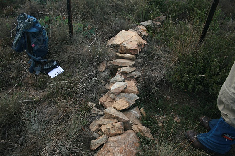 |
| G51 | 8″ Post | 663602.835-6085358.107 | 2 Feb 10* | 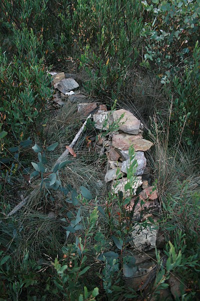 |
| H51 | 8″ Post on Rocky Knob | 663669.339-6085254.231 | 2 Feb 10* | 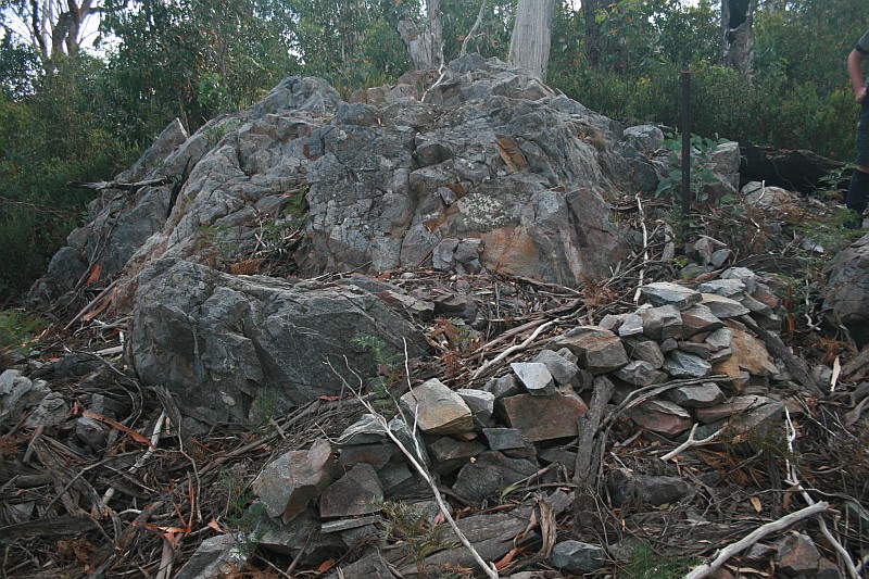 |
| I51 | 8″ Post | 663831.445-6085186.702 | 2 Feb 10* | 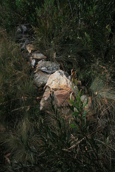 |
| Pipe 1″ diam 15″ long and cairn | 2 Feb 10* |  |
||
| J51 | 8″ Post | 663976.099-6085017.762 | 2 Feb 10* | 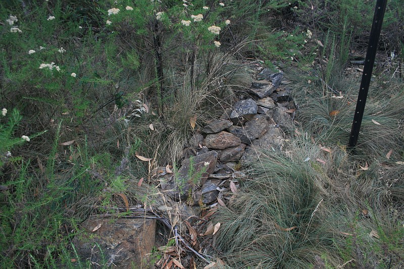 |
| K51 | 8″ Post | 664046.555-6084964.888 | 2 Feb 10* | 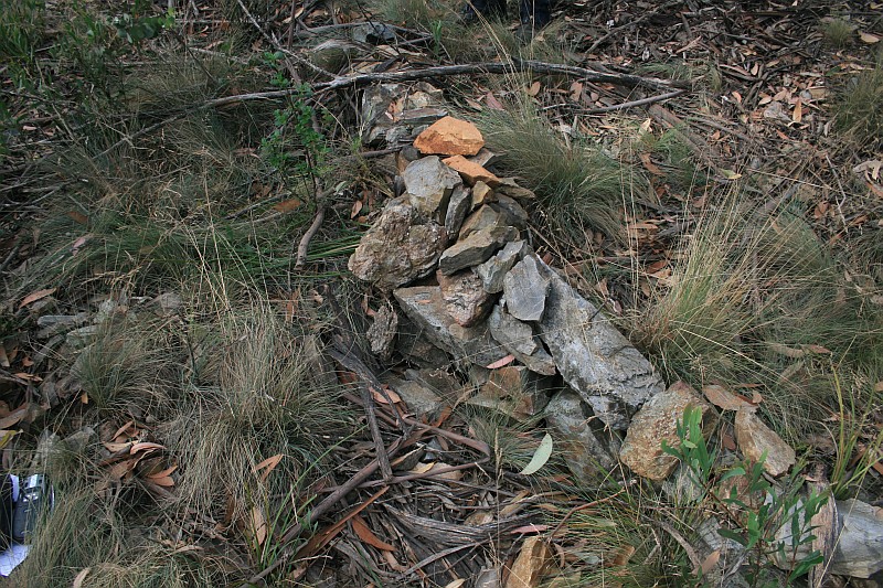 |
| L51 | 8″ Post | 664047.455-6084859.523 | 2 Feb 10* |  |
| M51 | 8″ Post | 663979.756-6084708.740 | 2 Feb 10* |  |
| N51 | 8″ Post | 663925.108-6084612.085 | 2 Feb 10* |  |
| O51 | 8″ Post | 663905.024-6084498.624 | 2 Feb 10* | 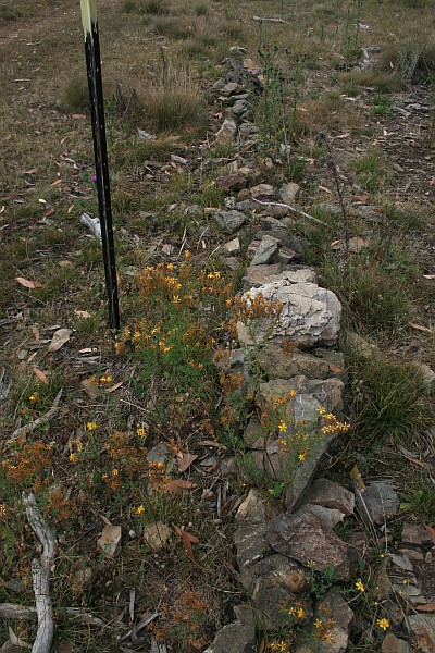 |
| 5 Mile | Concrete Block and Bolt Covered by Cairn | 663905.125-6084494.984 (calculated) |
2 Feb 10* | 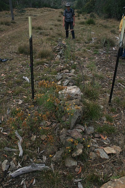 |
| P51 | 8″ Post | 663907.959-6084393.420 | 2 Feb 10* |  |
| Q51 | 8″ Post | 663871.241-6084174.392 | 2 Feb 10* |  |
| R51 | 8″ Post | 663866.011-6083982.054 | 2 Feb 10* | 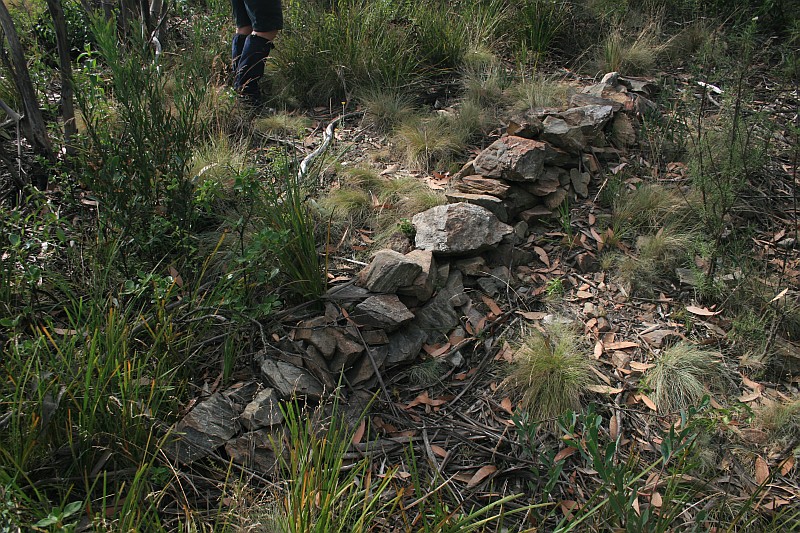 |
| S51 | 8″ Post | 663887.009-6083850.664 | 2 Feb 10* | 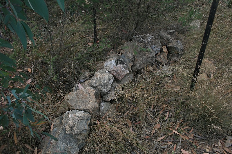 |
| T51 | 8″ Post | 663875.933-6083742.101 | 2 Feb 10* | 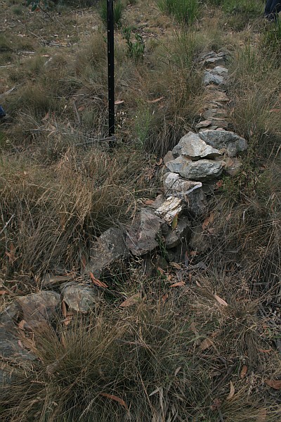 |
| U51 | 8″ Post | 663919.937-6083576.862 | 2 Feb 10* | 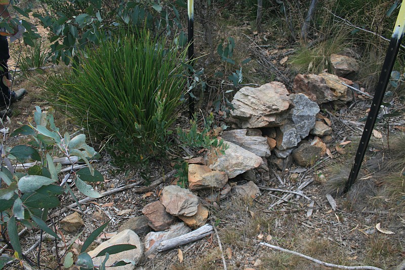 |
| V51 | 8″ Post | 663982.474-6083439.434 | 2 Feb 10* |  |
| W51 | 8″ Post | 664129.357-6083394.366 | 2 Feb 10* |  |
| X51 | 8″ Post | 664213.408-6083322.908 | 2 Feb 10* |  |
| Y51 | 8″ Post | 664281.848-6083239.661 | 13 Sep 16 2 Feb 10* |
 |
| Z51 | 8″ Post | 664287.519-6083136.354 | 2 Feb 10* | 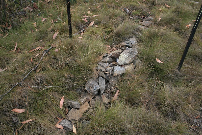 |
| 6 Mile | Bolt in concrete block covered by cairn | 664283.713-6083083.102 (calculated) |
4 Jan 11* |  |
| A52 | 8″ Post | 664280.719-6083041.141 | 2 Feb 10* |  |
| B52 | 8″ Post | 664208.035-6082985.944 | 4 Jan 11 2 Feb 10* |
 |
| C52 | 8″ Post | 664041.293-6082867.789 | 4 Jan 11 2 Feb 10* |
 |
| D52 | 8″ Post | 663923.594-6082752.976 | 4 Jan 11 2 Feb 10* |
 |
There is a survey line of points A52a, A52b, A52c and A52d to Bulls Head. We checked them out on 4 Jan 11, but found no markers at the locations.
Border Markers from Bulls Head to Aggie Gap
Border markers in this area are covered in the digitised original field books A 1010 – P51 to B54 – FC18 sheet 13 – (PDF 13.3 mb) and A 1011 – B54 to H55 – FC18 sheet 13 – (PDF 13.2 mb):
| Border Marker No | Comment from Survey Notes5 | ACTPLA Location UTM4 55H (MGA) |
Visited – click on a date for a walk report | Click on a thumbnail below to see the full sized Picture |
| E52 | 8″ Post | 663917.679-6082542.780 | 29 Sep 09* |  |
| F52 | 8″ Post | 663809.146-6082343.436 | 29 Sep 09* 19 Jan 05 |
 |
| G52 | 8″ Post | 663670.949-6082287.379 | 13 Sep 16 4 Jan 11 29 Sep 09* |
 |
| H52 | 8″ Post | 663583.590-6082247.550 | 29 Sep 09* |  |
| I52 | 8″ Post | 663424.768-6082192.789 | 29 Sep 09* |  |
| J52 | 8″ Post | 663177.690-6082033.474 | 29 Sep 09* |  |
| 7 Mile | Concrete Pipe 3″ and Cairn | 663156.370-6082002.383 (calculated) |
29 Sep 09* | 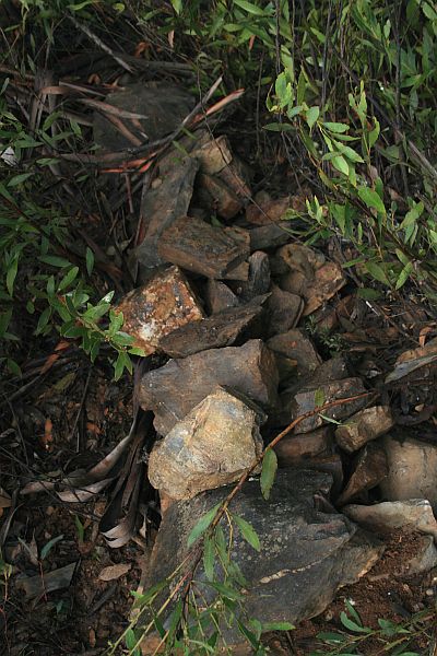 |
| K52 | 8″ Post | 663081.073-6081892.557 | 29 Sep 09* | 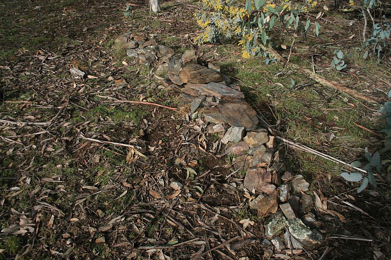 |
| L52 | 8″ Post | 663093.416-6081735.359 | 29 Sep 09* | 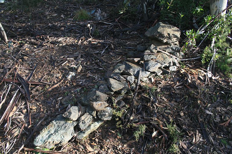 |
| M52 | 8″ Post | 663085.815-6081509.007 | 29 Sep 09* | 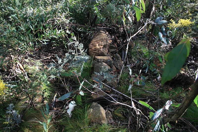 |
| N52 | 8″ Post | 663104.770-6081281.442 | 29 Sep 09* | 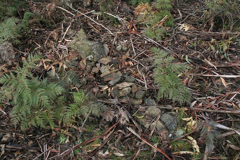 |
| O52 | 8″ Post | 663066.947-6081100.671 | 29 Sep 09* | 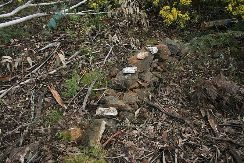 |
| P52 | 8″ Post | 663103.927-6080952.546 | 29 Sep 09* | 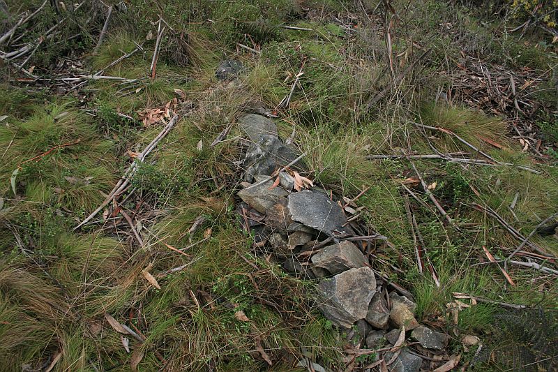 |
| Q52 | 8″ Post | 663074.524-6080843.046 | 29 Sep 09* | 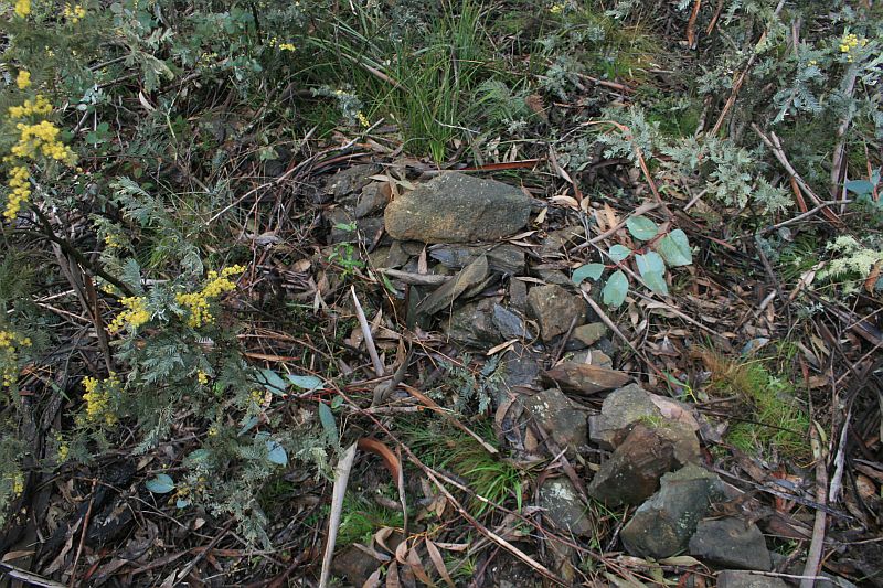 |
| R52 | 8″ Post | 663120.002-6080688.108 | 29 Sep 09* | 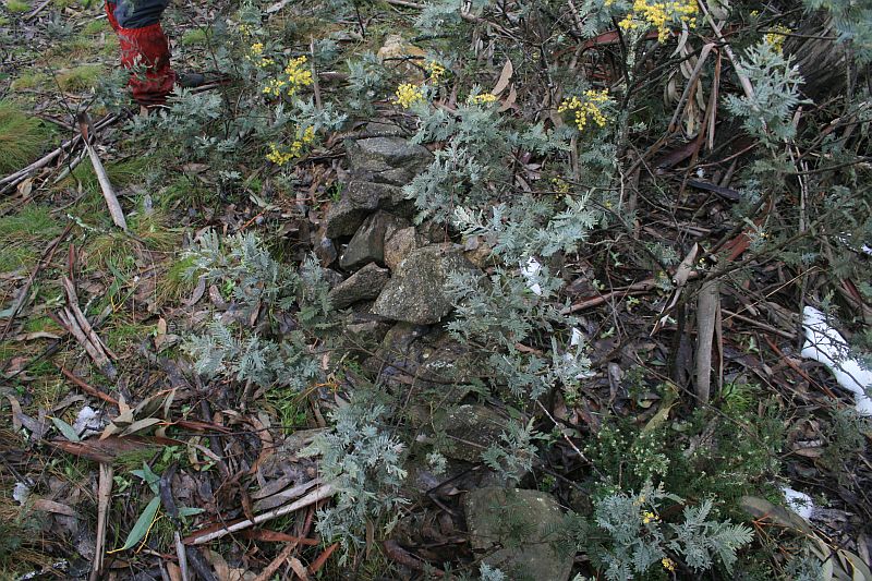 |
| S52 | 8″ Post | 663093.447-6080566.616 | 29 Sep 09* |  |
| 8 Mile | Concrete Pipe 3″ and Bolt covered by Cairn | 663096.786-6080515.501 (calculated) |
29 Sep 09* |  |
| T52 | 8″ Post | 663100.907-6080452.558 | 29 Sep 09* |  |
| U52 | 8″ Post | 663079.887-6080379.799 | 29 Mar 11 29 Sep 09* |
 |
| V52 | 8″ Post | 663018.462-6080329.684 | 29 Sep 09* | 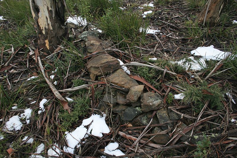 |
| W52 | 8″ Post | 662764.910-6080301.811 | 29 Sep 09* | 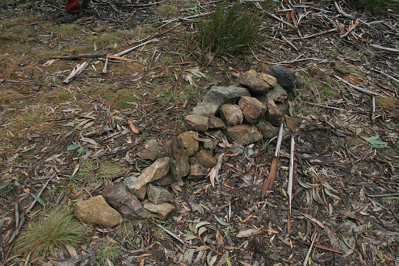 |
| X52 | 8″ Post | 662553.768-6080247.401 | 29 Sep 09* | 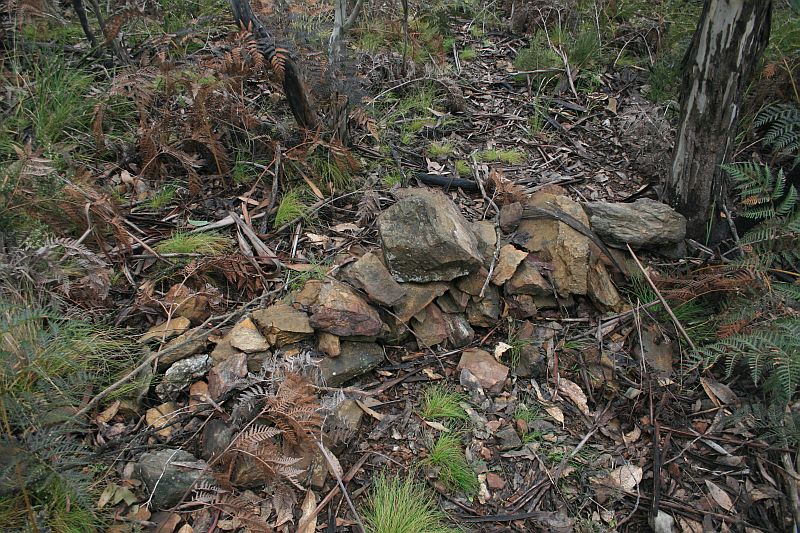 |
| Y52 | 8″ Post | 662381.253-6080216.658 | 29 Sep 09* | 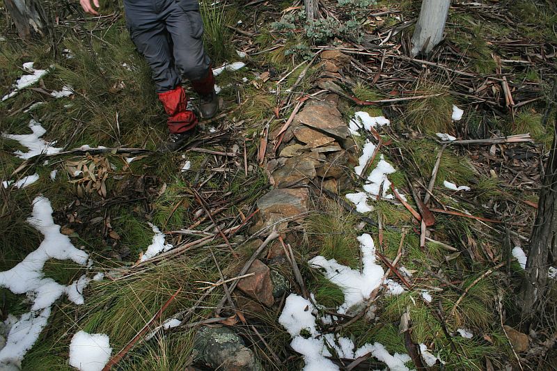 |
| Z52 | 8″ Post | 662306.957-6080180.489 | 29 Sep 09* 19 Jan 05 |
 |
| A53 | 8″ Post | 662150.677-6080144.338 | 29 Sep 09* | 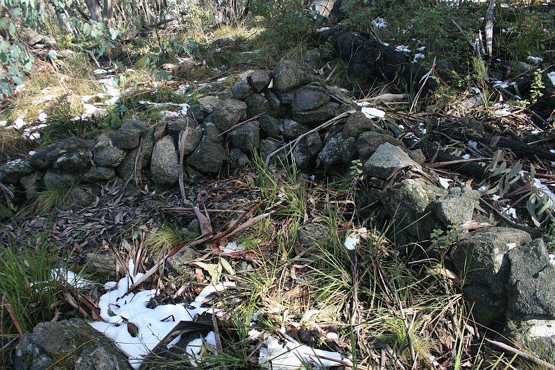 |
| B53 | 8″ Post | 662145.600-6079947.905 | 29 Sep 09* | 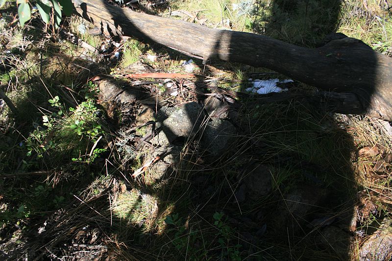 |
| C53 | 8″ Post | 662187.611-6079713.158 | 29 Sep 09* |  |
| 9 Mile | Concrete Pipe 3″ and Bolt covered by Cairn | 662218.287-6079656.560 (calculated) |
29 Sep 09* |  |
| D53 | 8″ Post | 662268.798-6079563.405 | 29 Sep 09* |  |
| E53 | 8″ Post | 662408.799-6079488.697 | 29 Sep 09* |  |
| F53 | 8″ Post | 662533.377-6079389.624 | 29 Sep 09* | 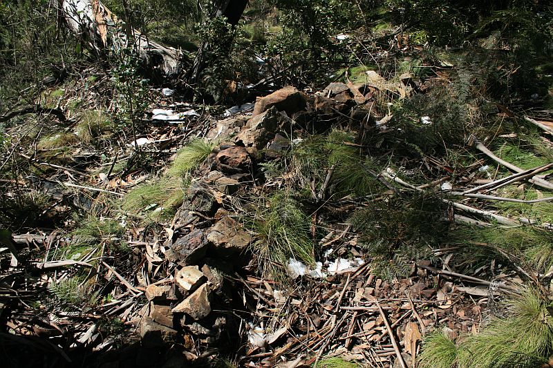 |
| G53 | 8″ Post | 662490.682-6079237.281 | 29 Sep 09* | 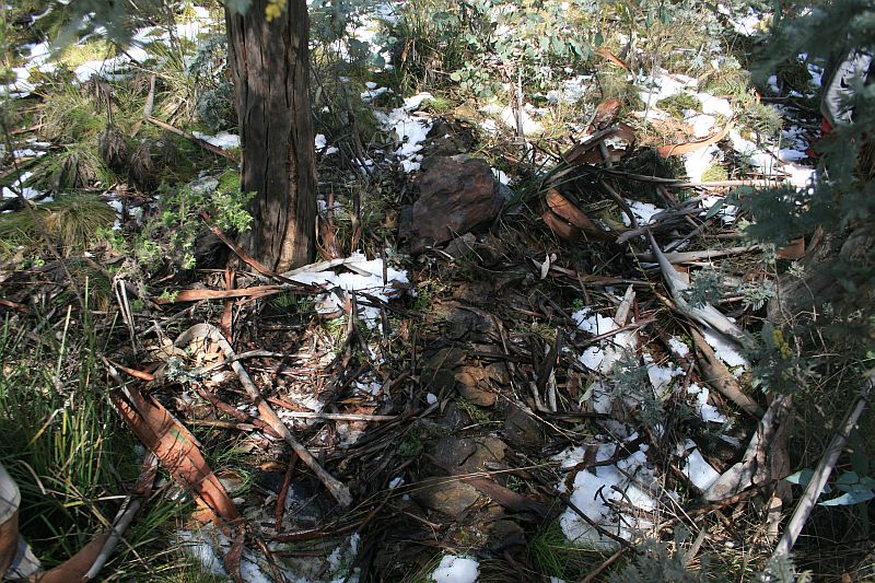 |
| H53 | 8″ Post | 662416.851-6079130.332 | 29 Sep 09* | 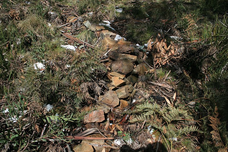 |
| I53 | 8″ Post | 662449.709-6078950.009 | 29 Sep 09* | 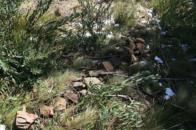 |
| J53 | 8″ Post | 662408.970-6078791.286 | 29 Sep 09* | 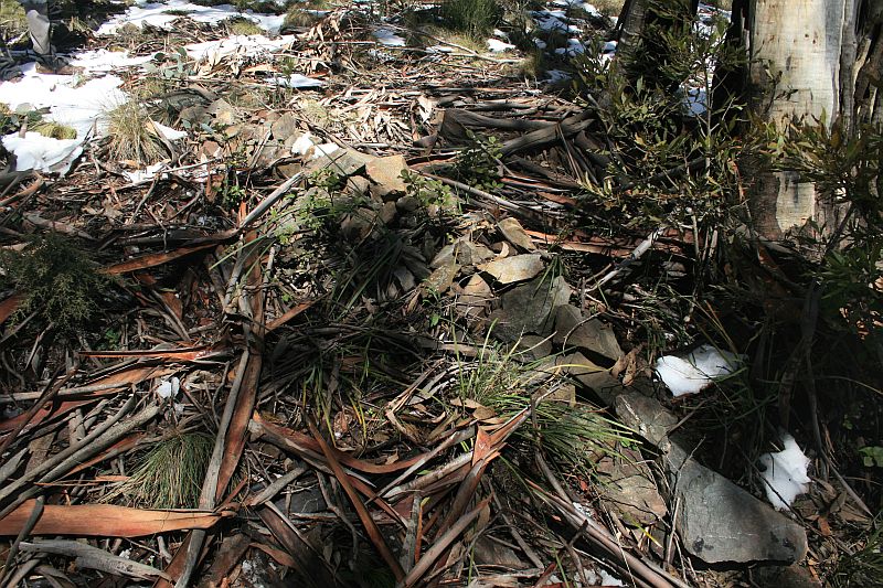 |
| K53 | 8″ Post | 662404.623-6078677.328 | 29 Sep 09* |  |
| L53 | 8″ Post | 662287.008-6078556.571 | 29 Sep 09* |  |
| M53 | 8″ Post | 662349.450-6078373.401 | 29 Sep 09* |  |
| 10 Mile | Concrete Pipe 3″ and Bolt covered by Cairn | 662360.467-6078300.695 (calculated) |
29 Mar 11* |  |
| N53 | 8″ Post | 662368.516-6078247.638 | 29 Sep 09* | 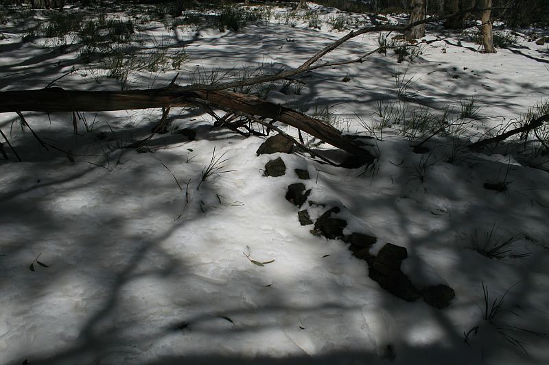 |
| O53 | 8″ Post | 662398.893-6078188.716 | 4 May 25 16 Jan 16 29 Sep 09* |
 |
| P53 | 8″ Post | 662345.128-6078142.669 | 29 Sep 09* | 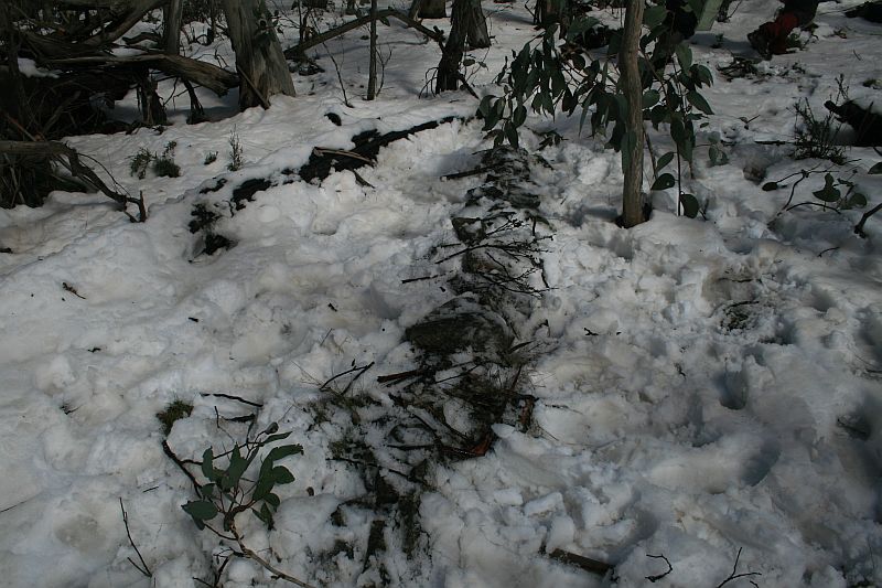 |
| Q53 | 8″ Post | 662254.308-6078072.544 | 29 Sep 09* | 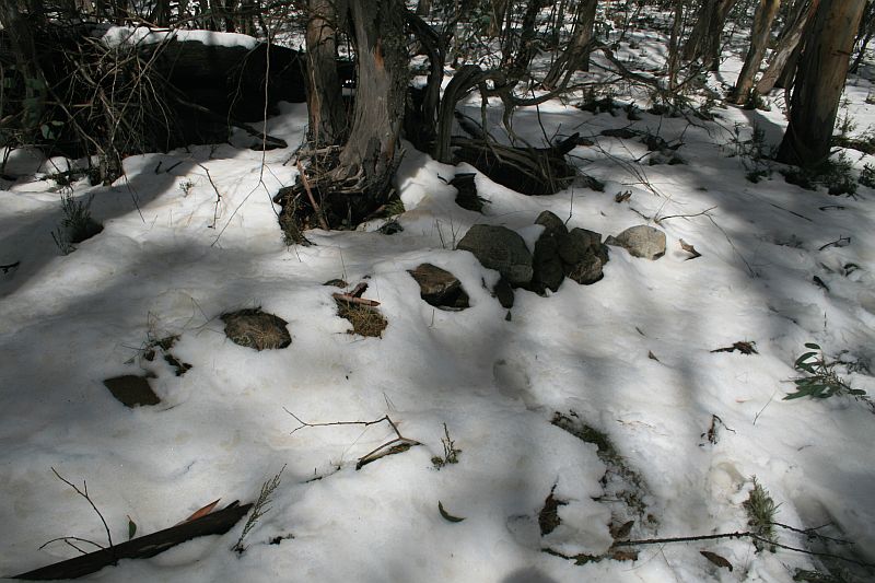 |
| R53 | 8″ Post | 662148.136-6077914.014 | 29 Sep 09* | 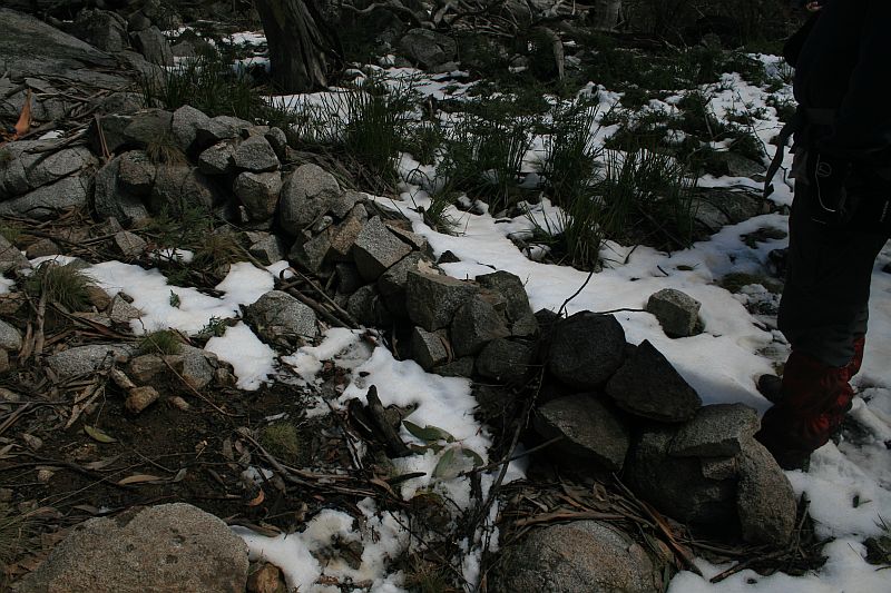 |
| S53 | 8″ Post | 662065.295-6077764.985 | 4 May 25 29 Sep 09* |
 |
| T53 | 8″ Post | 662040.455-6077632.042 | 29 Sep 09* | 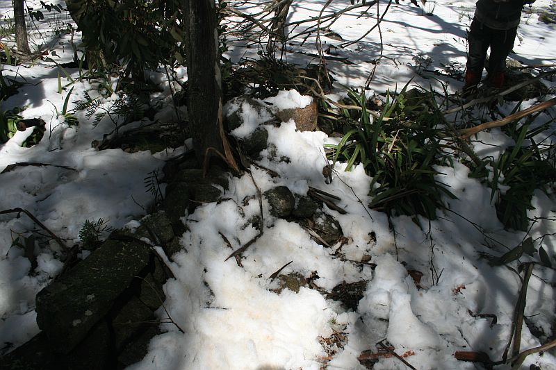 |
| U53 | 8″ Post | 661959.371-6077544.419 | 29 Sep 09* | 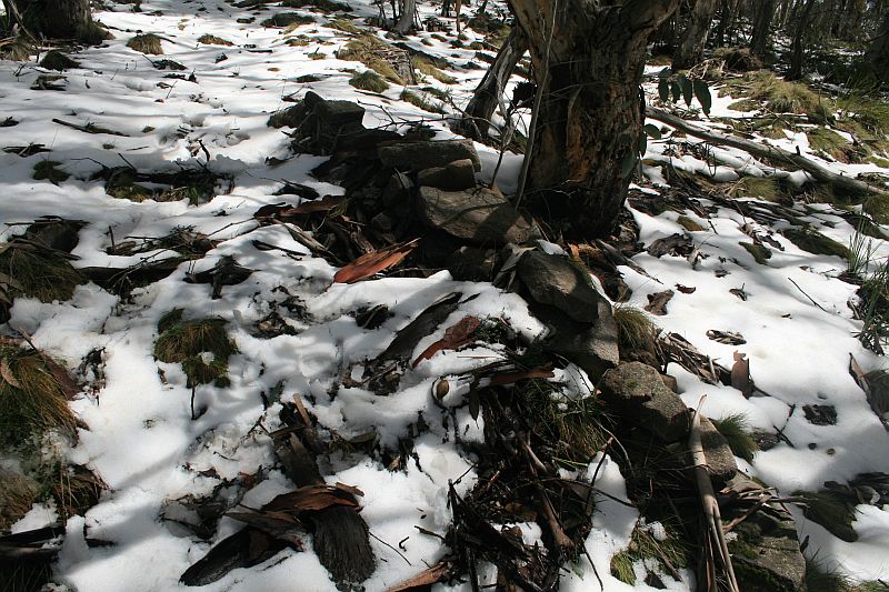 |
| V53 | 8″ Post | 661899.677-6077506.236 | 4 May 25 29 Sep 09* |
 |
| W53 | 8″ Post | 661668.939-6077442.471 | 29 Sep 09* | 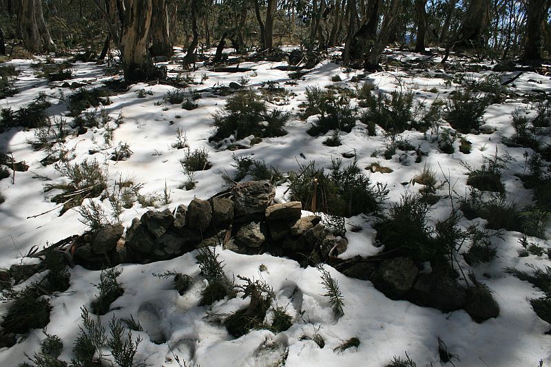 |
| X53 | 8″ Post | 661597.362-6077235.791 | 4 May 25 29 Sep 09* |
 |
| 11 Mile | Concrete Pipe and Bolt covered by cairn | 661517.928-6077098.724 (calculated) |
4 May 25 12 Apr 11 29 Sep 09* |
 |
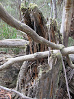
| 11 Mile survey blaze | Marked with 45, broad arrow, R, M, 11 | 661535.565-6077101.799 (calculated) |
4 May 25 16 Jan 16 12 Apr 11 2 May10* |
 |
| Y53 | 8″ Post | 661448.378-6076978.699 | 29 Sep 09* | 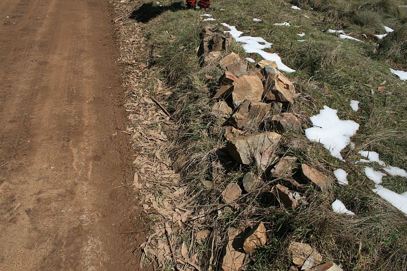 |
| Z53 | 8″ Post | 661354.407-6076704.470 | 29 Sep 09* | 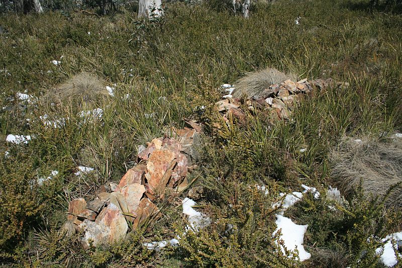 |
| A54 | 8″ Post | 661090.353-6076510.297 | 29 Sep 09* |  |
| B54 | 8″ Post | 661041.591-6076257.955 | 29 Sep 09* | 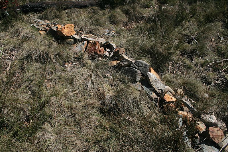 |
| C54 | 8″ Post | 661059.858-6076039.404 | 29 Sep 09* | 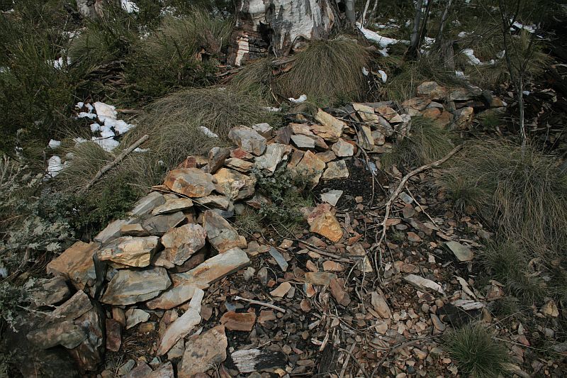 |
| D54 | 8″ Post | 661030.454-6075941.751 | 12 Apr 11 29 Sep 09* |
 |
| E54 | 8″ Post | 660991.951-6075860.523 | 29 Sep 09* | 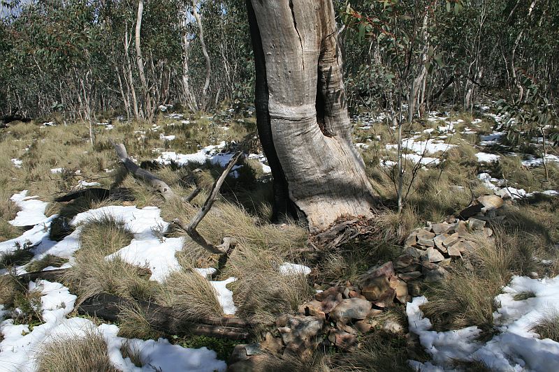 |
| 12 Mile | 3″ Concrete Pipe covered by cairn | 660920.728-6075690.629 (calculated) |
29 Sep 09* | 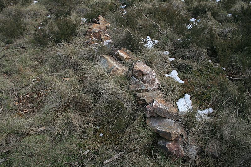 |
| F54 | 8″ Post | 660909.277-6075663.302 | 29 Sep 09* | 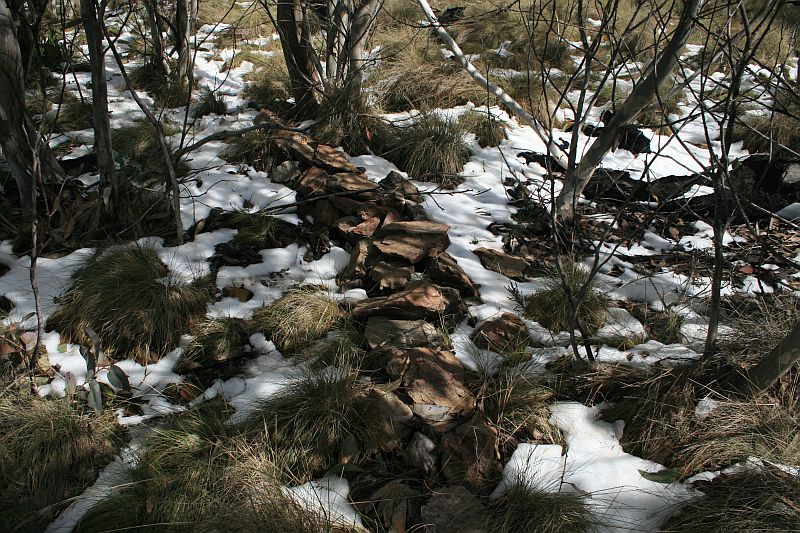 |
| G54 | 8″ Post | 660972.296-6075424.062 | 29 Sep 09* | 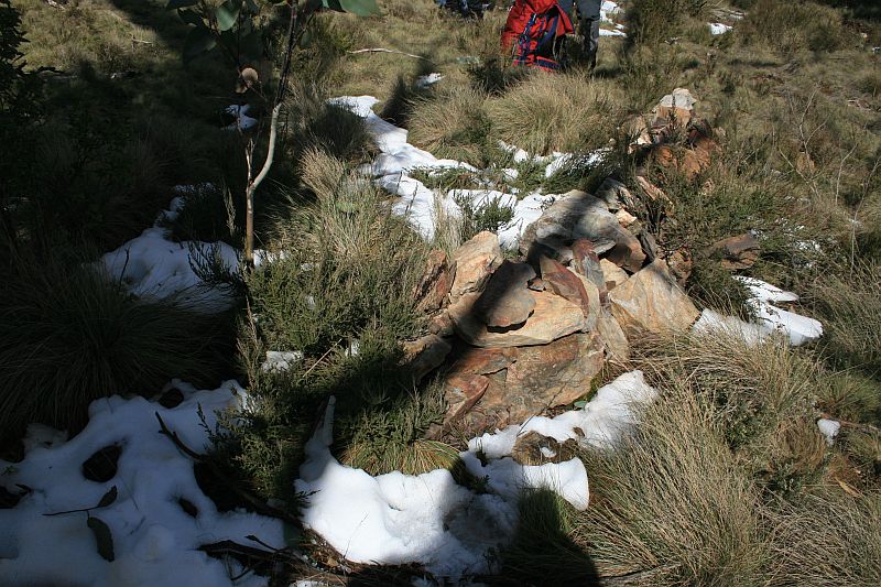 |
| H54 | 8″ Post | 661048.091-6075290.058 | 29 Sep 09* | 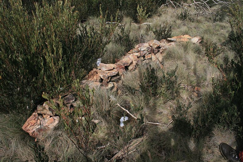 |
| I54 | 8″ Post | 661090.632-6075153.033 | 29 Sep 09* |  |
| J54 | 8″ Post | 661168.238-6075060.604 | 29 Sep 09* |  |
| K54 | 8″ Post | 661068.135-6074932.511 | 29 Sep 09* |  |
| L54 | 8″ Post | 661043.963-6074751.464 | 29 Sep 09* |  |
| M54 | 8″ Post | 660929.595-6074584.178 | 29 Sep 09* | 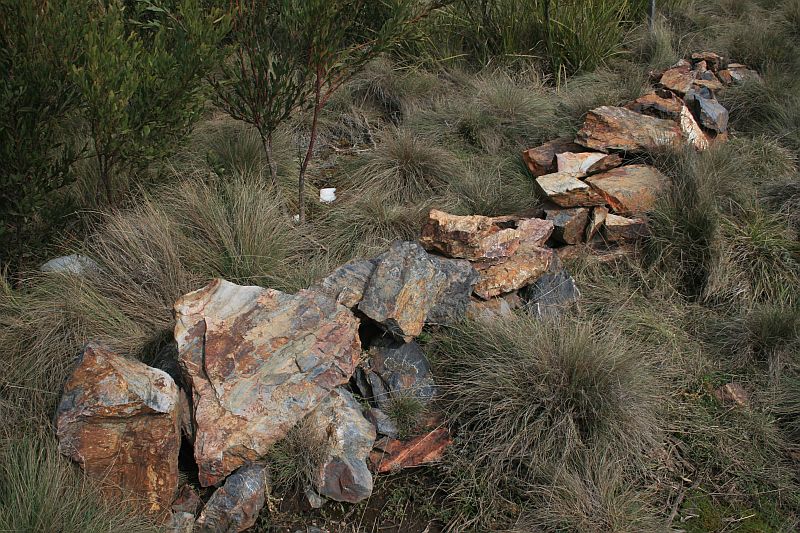 |
| N54 | 8″ Post | 660884.993-6074467.814 | 29 Sep 09* |  |
| O54 | 8″ Post | 660858.761-6074399.995 | 29 Sep 09* |  |
| P54 | 8″ Post | 660871.151-6074233.354 | 29 Sep 09* |  |
| 13 Mile | Concreted 3″ Dowpipe covered by cairn | 660870.293-6074232.432 (calculated) |
29 Sep 09* | |
| Q54 | 8″ Post | 660760.729-6074114.844 | 29 Sep 09* | 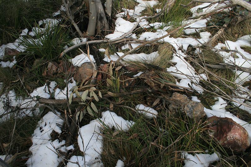 |
| R54 | 8″ Post | 660626.526-6074076.900 | 29 Sep 09* | 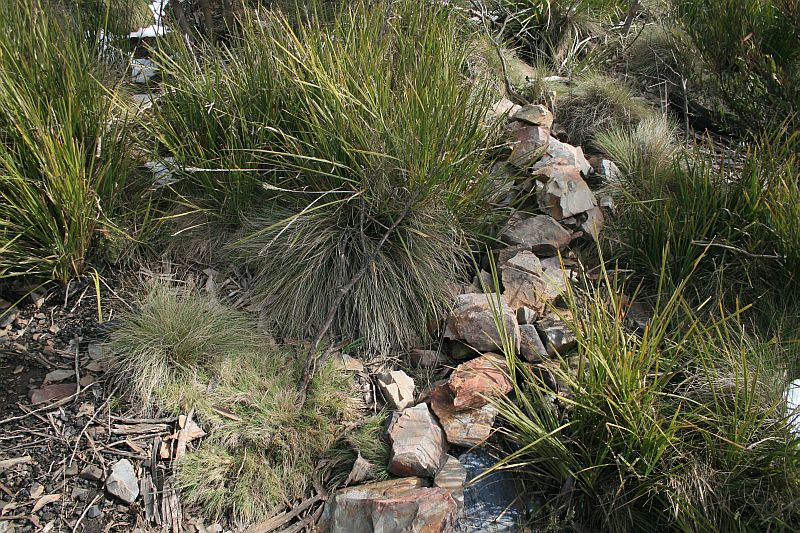 |
| S54 | 8″ Post | 660515.852-6073960.294 | 29 Sep 09* | 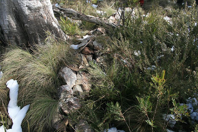 |
| T54 | 8″ Post, Old peg found and renewed (Mt Aggie) | 660345.485-6073898.496 | 29 Sep 09* | 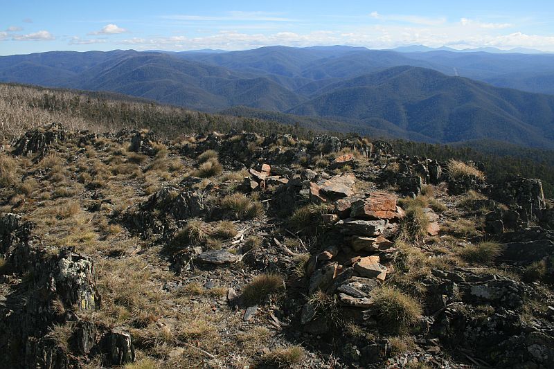 |
| U54 | 8″ Post | 660304.885-6073711.992 | 29 Sep 09* | 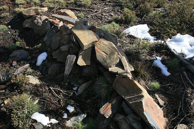 |
| V54 | 8″ Post | 660310.845-6073515.883 | 29 Sep 09* | 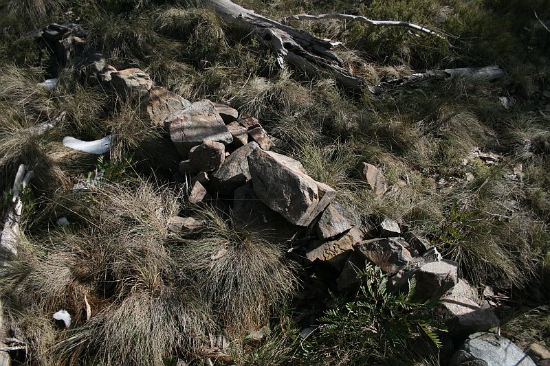 |
| W54 | 8″ Post | 660309.879-6073350.596 | 29 Sep 09* | 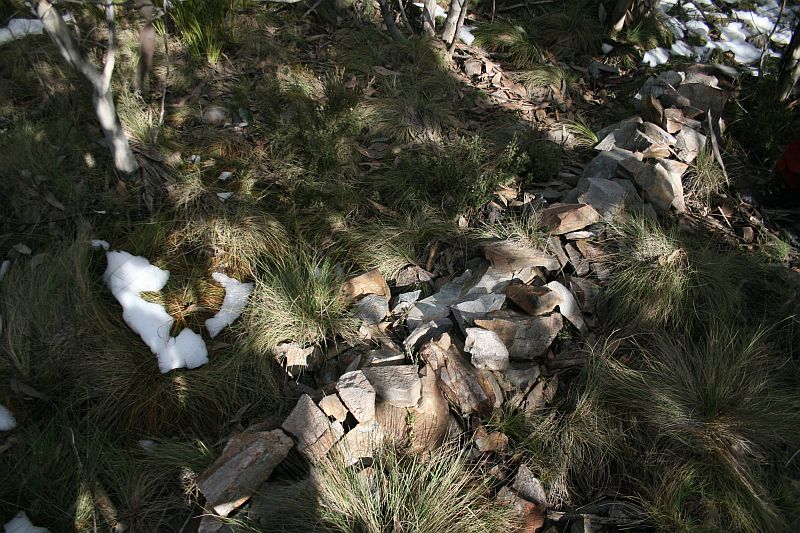 |
| X54 | 8″ Post | 660306.397-6073266.571 | 29 Sep 09* | 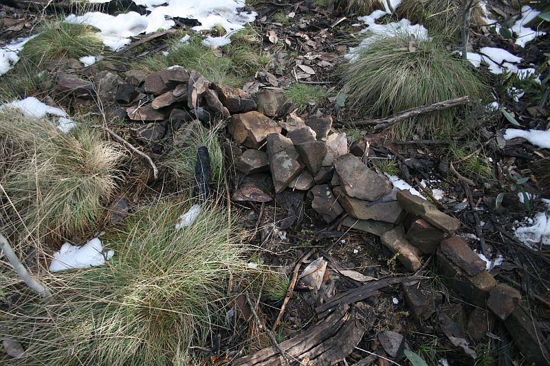 |
| Y54 | 8″ Post | 660423.361-6073123.069 | 29 Sep 09* |  |
| 14 Mile | Concrete Pipe & Cairn | not seen 29 Sep 09 |
||
| Z54 | 8″ Post | 660526.011-6072915.241 | not seen 16 Jan 10 29 Sep 09 |
Border Markers from Aggie Gap to Mt Ginini
Border markers from Aggie Gap to Mt Ginini are covered in the digitised original field books A 1011 – B54 to H55 – FC18 sheet 13 – (PDF 13.2 mb), A 1013 – H55 to R56 – FC18 sheet 12, 13 – (PDF 13.0 mb) and A 1022 – Q56 to P58 – FC18 sheet 12 – (PDF 12.7 mb):
| Border Marker No | Comment from Survey Notes5 | ACTPLA Location UTM4 55H (MGA) |
Visited – click on a date for a walk report | Click on a thumbnail below to see the full sized Picture |
| A55 | 8″ Post | 660634.744-6072771.248 | 16 Jan 10* |  |
| B55 | 8″ Post | 660621.884-6072612.112 | 16 Jan 10* |  |
| C55 | 8″ Post | 660600.632-6072445.802 | 16 Jan 10* |  |
| D55 | 8″ Post | 660651.301-6072276.719 | 16 Jan 10* | 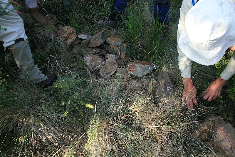 |
| E55 | 8″ Post | 660746.134-6072120.433 | 16 Jan 10* |  |
| F55 | 8″ Post | 660841.476-6071987.624 | 16 Jan 10* |  |
| G55 | 8″ Post | 660897.717-6071857.197 | 16 Jan 10* |  |
| H55 | 1″ Pipe 15″ long filled with concrete | 660970.854-6071720.335 | 16 Jan 10* | 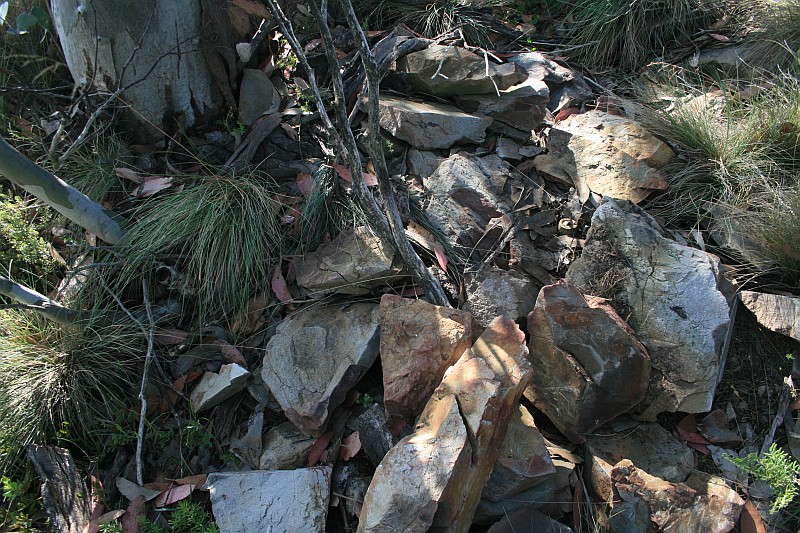 |
| I55 | 8″ Post | 660970.276-6071652.634 | 16 Jan 10* 15 Mar 06* |
  |
| J55 | 8″ Post | 660960.292-6071596.011 | 16 Jan 10* | 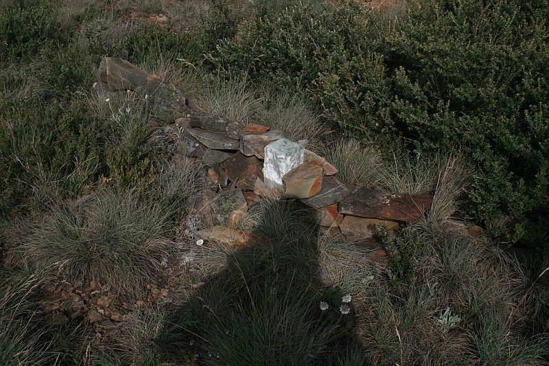 |
| K55 | 8″ Post | 660911.526-6071564.370 | 16 Jan 10* | 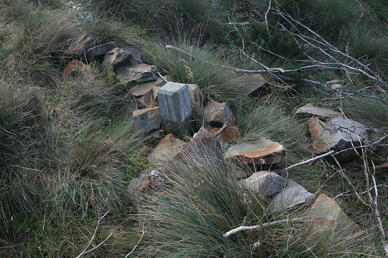 |
| 15 Mile | 3″ Concrete Pipe and 3″ Stake | 660901.439-6071560.338 (calculated) |
16 Jan 10* | 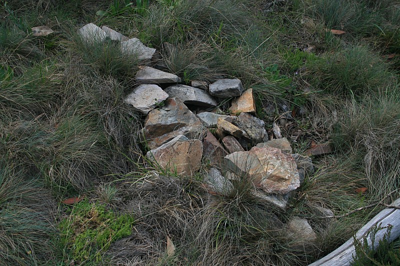 |
| L55 | 8″ Post | 660850.794-6071540.093 | 16 Jan 10* | 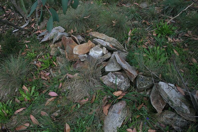 |
| M55 | 1″ Pipe covered by cairn | 660729.450-6071464.885 | 16 Jan 10* | 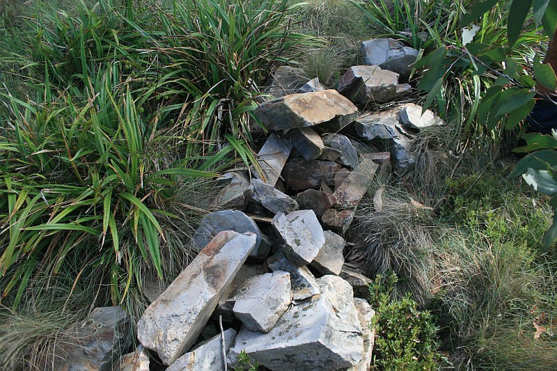 |
| N55 | 1″ Pipe covered by cairn | 660640.112-6071411.319 | 16 Jan 10* | 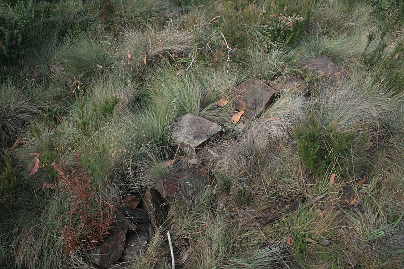 |
| O55 | 8″ Post | 660545.283-6071405.759 | 16 Jan 10* | 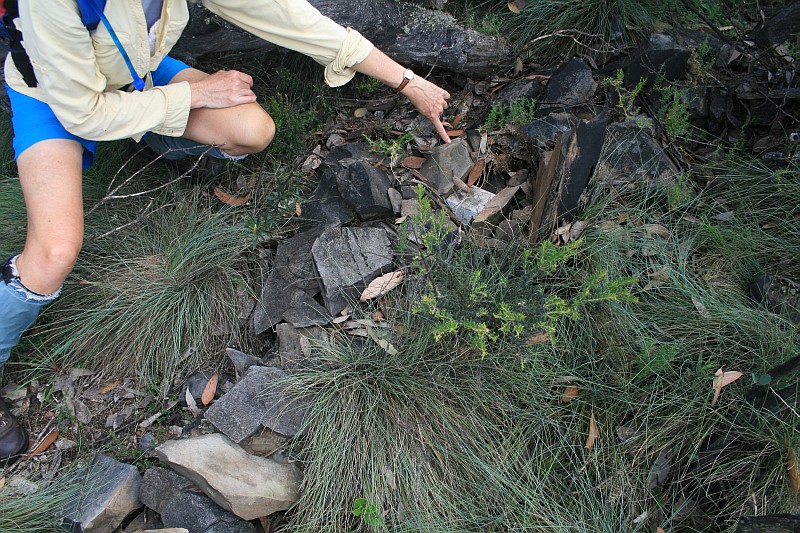 |
| P55 | 8″ Post | 660445.587-6071312.680 | 16 Jan 10* | 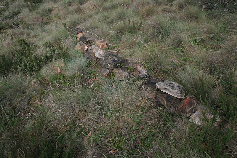 |
| Q55 | 8″ Post | 660284.166-6071212.155 | 16 Jan 10* | 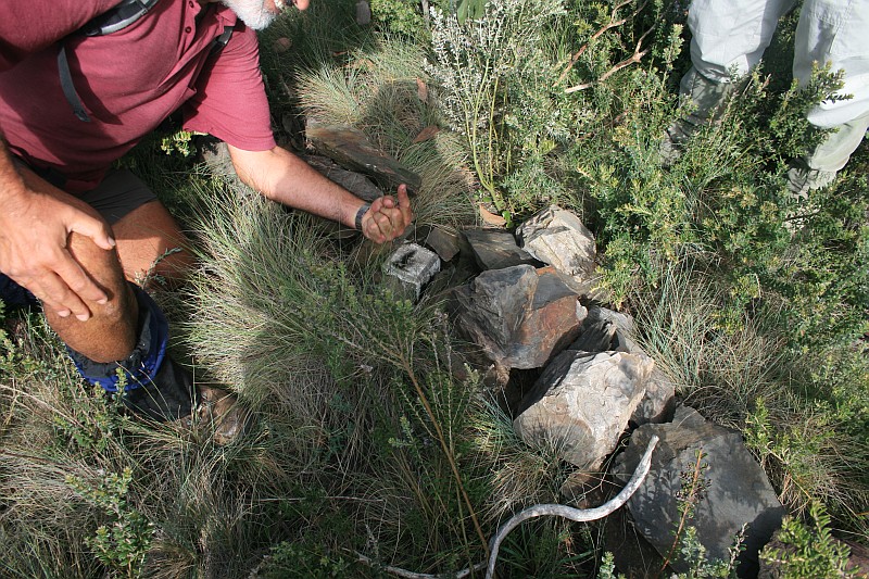 |
| R55 | 8″ Post | 660116.583-6071083.965 | 16 Jan 16 16 Jan 10* |
 |
| S55 | 8″ Post | 660054.536-6070976.555 | 16 Jan 10* | 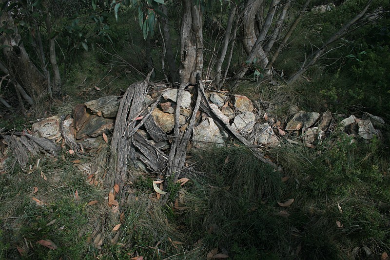 |
| T55 | 8″ Post | 659977.064-6070789.981 | 16 Jan 10* | 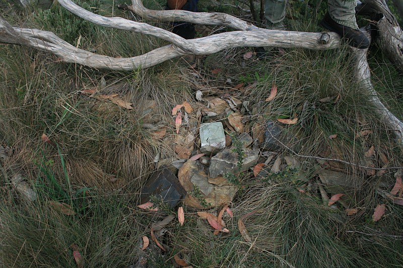 |
| U55 | 8″ Post | 659890.186-6070577.339 | 7 Mar 26 16 Jan 16 16 Jan 10* |
 |
| 16 Mile | 3″ Concrete Pipe and Cairn | 659901.912-070458.979 (calculated) |
16 Jan 10* | 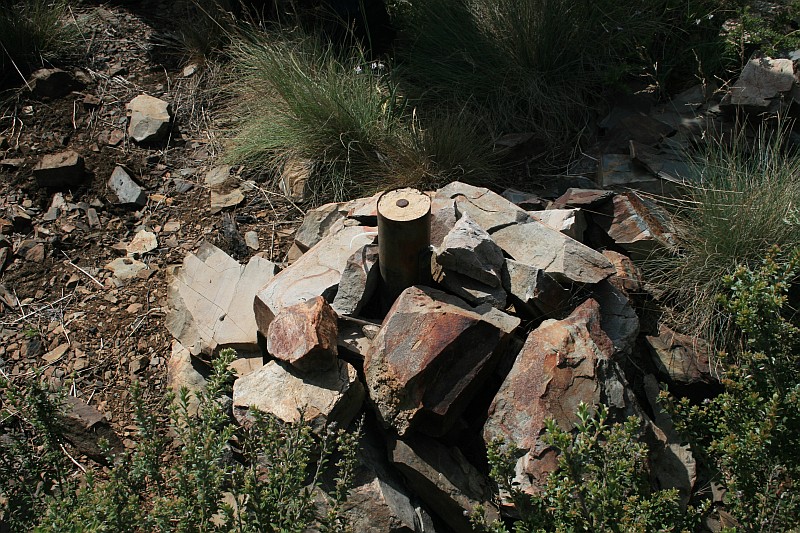 |
| V55 | 8″ Post | 659902.130-6070456.783 | 16 Jan 10* | 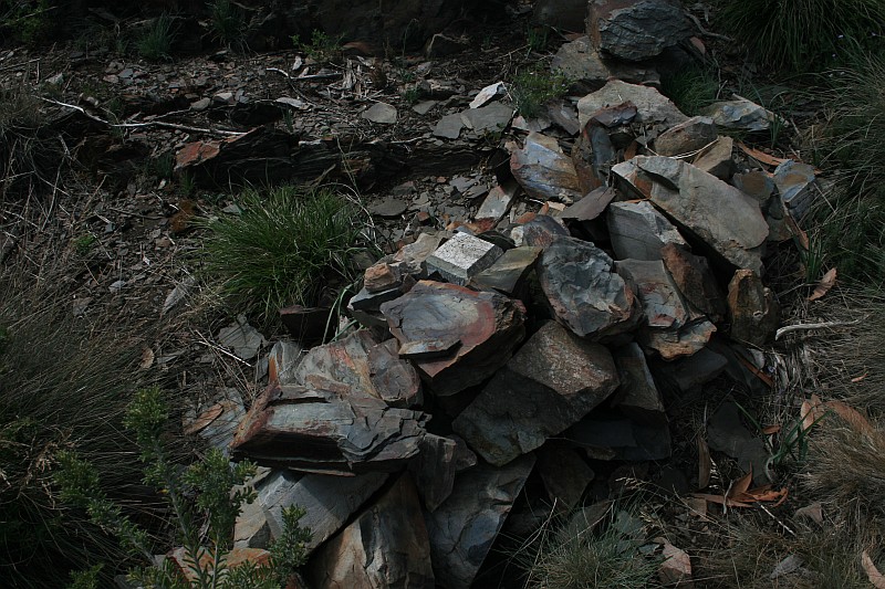 |
| W55 | 8″ Post | 659997.936-6070307.624 | 16 Jan 10* | 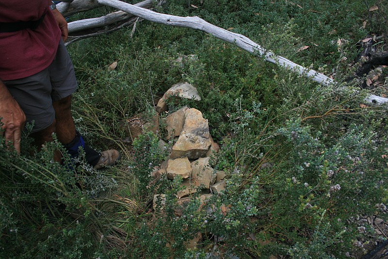 |
| X55 | 8″ Post | 660029.757-6070115.887 | 16 Jan 10* | 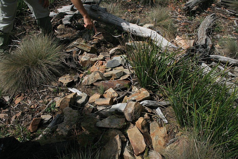 |
| Y55 | 8″ Post | 660011.505-6069919.980 | 16 Jan 10* | 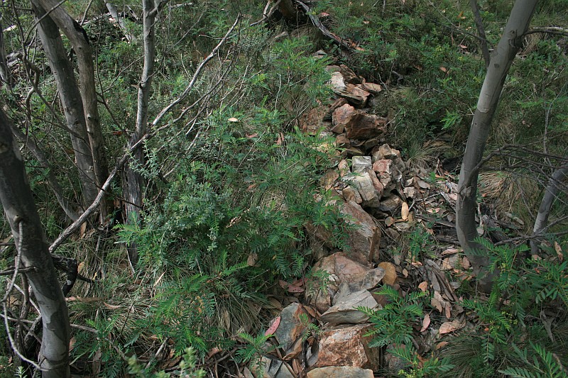 |
| Z55 | 8″ Post | 660017.420-6069726.098 | 16 Jan 10* | 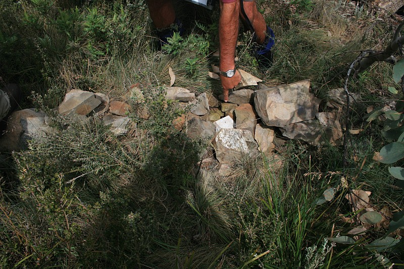 |
| A56 | 1″ Pipe covered by cairn | 660088.326-6069489.671 | 16 Jan 10* | 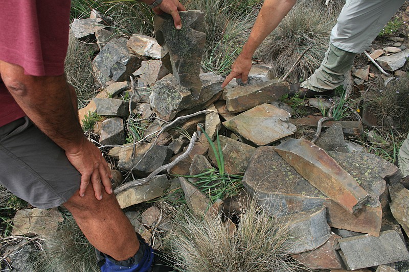 |
| B56 | 1″ Pipe covered by cairn | 660242.251-6069349.768 | 16 Jan 10* | 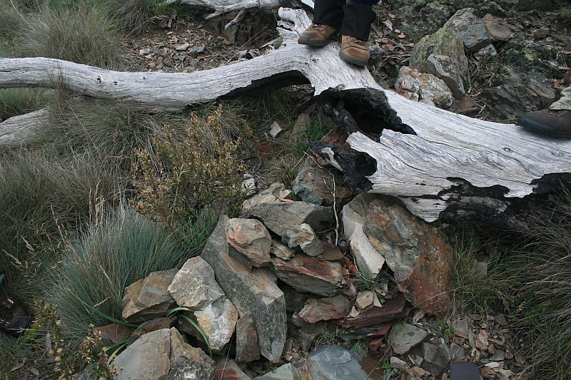 |
| C56 | 8″ Post | 660324.796-6069285.937 | 16 Jan 10* |  |
| D56 | 3″ Downpipe with Concrete Core and bolt surrounded by cairn | 660366.421-6069150.872 | 16 Jan 10* |  |
| 17 Mile | Concrete Post and Bolt Covered by Cairn | 660281.393-069035.164 (calculated) |
16 Jan 10* |  |
| E56 | 3″ Concreted Downpipe and Bolt Covered by cairn | 660155.328-6068863.616 | 16 Jan 10* |  |
| F56 | 8″ Post | 660238.531-6068738.217 | 16 Jan 10* |  |
| G56 | 8″ Post | 660258.765-6068581.793 | 16 Jan 10* |  |
| H56 | 8″ Post | 660239.160-6068468.023 | 16 Jan 10* |  |
| I56 | 8″ Post | 660223.617-6068370.249 | 16 Jan 10 18 Apr 09* |
 |
| J56 | 8″ Post | 660244.726-6068203.038 | 18 Apr 09* | 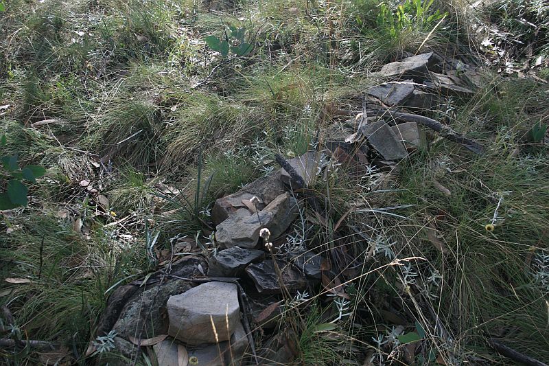 |
| K56 | 8″ Post | 660248.633-6067996.535 | 18 Apr 09* | 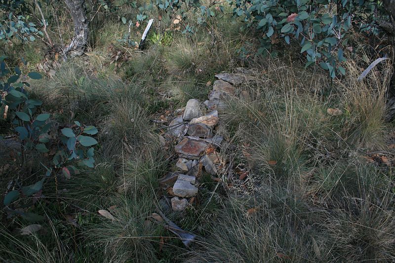 |
| L56 | 8″ Post | 660268.127-6067831.546 | 18 Apr 09* |  |
| M56 | 8″ Post | 660311.626-6067675.390 | 18 Apr 09* | 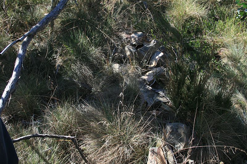 |
| 18 Mile | Concrete Pipe 3″ and Bolt Covered by Cairn | 177977.622-577013.912 (ACT grid2 from annotated 1:16000 map segment) = 660283-6067507 (MGA) 660283.484-6067507.932 (calculated) |
18 Apr 09* | 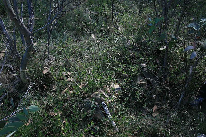 |
| N56 | 8″ Post | 660276.770-6067467.983 | 18 Apr 09* | 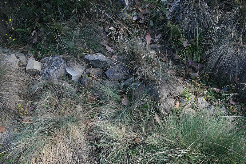 |
| O56 | 8″ Post | 660301.638-6067298.845 | 18 Apr 09* | 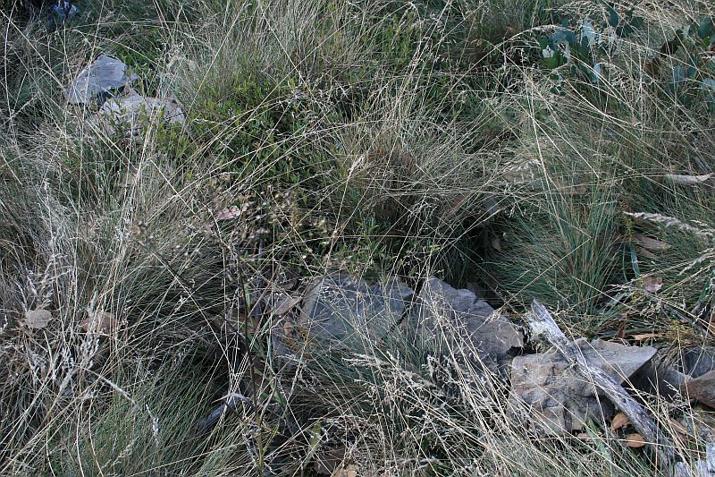 |
| P56 | 1″ Pipe covered by cairn | 660447.303-6067109.406 | 18 Apr 09* |  |
| Q56 | 1″ Pipe covered by cairn | 660565.979-6066935.094 | 18 Apr 09* | 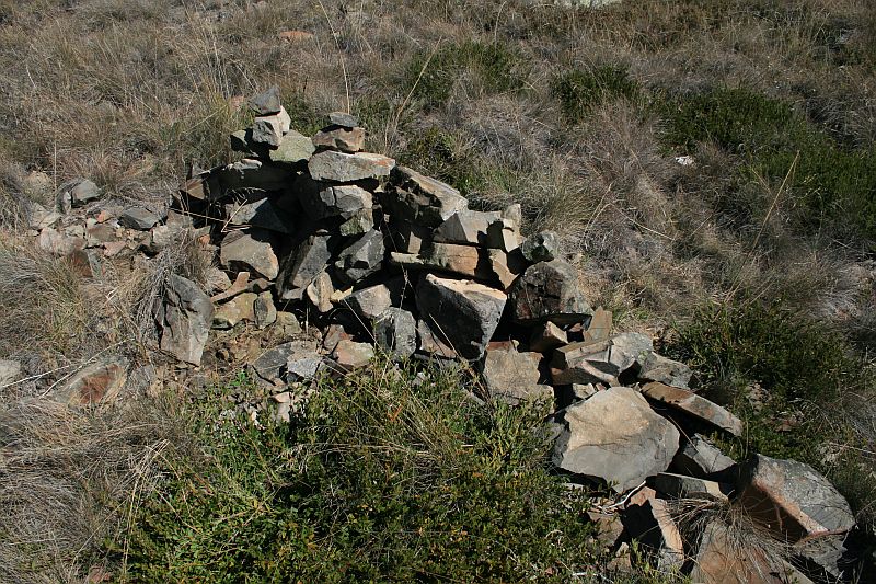 |
| R56 | 8″ Post | 660613.073-6066856.985 | 18 Apr 09* | 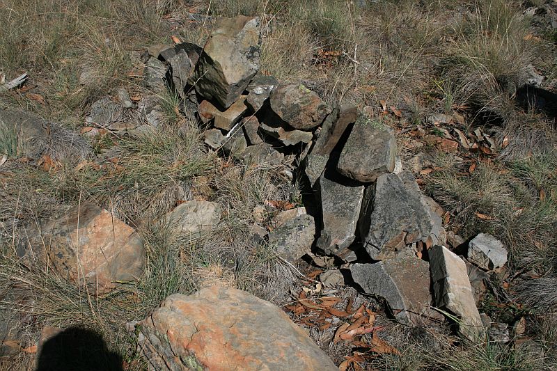 |
| S56 | 3″ Downpipe with Concrete Core Surrounded by Cairn (Annotated GONE on 1:16000 map segment) |
660651.912-6066805.781 | 18 Apr 09* | 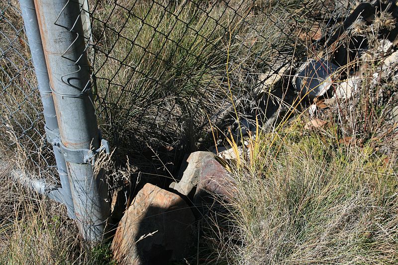 |
| T56 | 8″ Post | 660679.701-6066751.417 | 18 Apr 09* | 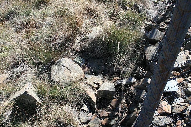 |
Border Markers from Mt Ginini to Stockyard Gap
Border markers in this area are also covered in the digitised original field book A 1022 – Q56 to P58 – FC18 sheet 12 – (PDF 12.7 mb). There are a total of 14 border markers located on the southern spur of Mt Ginini, down the old cleared ski slope and into the bush, defining the border over the little knoll and down to Stockyard Gap. Again, with the accurate ACTPLA data (to one thousandth of a metre!), it was a relative breeze to find them all:
| Border Marker No | Comment from Survey Notes5 | ACTPLA Location UTM4 55H (MGA) |
Visited – click on a date for a walk report | Click on a thumbnail below to see the full sized Picture |
| U56 | 8″ Post | 660671.981 6066588.743 | 16 Jan 16 18 Apr 09* |
 |
| V56 | 8″ Post | 660622.635 6066388.089 | 16 Jan 16 18 Apr 09* |
 |
| W56 | 8″ Post | 660577.006 6066243.206 | 16 Jan 16 18 Apr 09* |
 |
| X56 | 3″ Downpipe and Cairn | 660488.908-6066066.701 | 30 Apr 11 5 Feb 11 18 Apr 09 21 Mar 09* |
 |
| 19 Mile | 3″ Downpipe with Concrete Core Surrounded by cairn | 178212.409-575576.831 (ACT grid2 from annotated 1:16000 map segment) = 660488-6066066 (MGA) 660485.759-6066054.973 (calculated) |
30 Apr 11 5 Feb 11 18 Apr 09* |
 |
| Y56 | 3″ Downpipe Concrete Core and Cairn | 660461.111-6065963.023 | 18 Apr 09 21 Mar 09* |
 |
| Z56 | 3″ Downpipe with Concrete Core and Cairn | 660440.924-6065836.043 | 18 Apr 09 21 Mar 09* |
 |
| A57 | 8″ Post | 660448.344-6065591.059 | 5 Feb 11 18 Apr 09 21 Mar 09* |
 |
| B57 | 8″ Post 70 links W of knob, 6′ below absolute shed | 660437.086-6065407.845 | 5 Feb 11 18 Apr 09* |
 |
| C57 | 8″ Post | 660419.407-6065339.071 | 5 Feb 11 18 Apr 09* |
 |
| D57 | 8″ Post | 660394.483-6065220.821 | 18 Apr 09* |  |
| E57 | none | 660417.182-6065143.347 | 18 Apr 09* |  |
| F57 | none | 660444.236-6065010.444 | 18 Apr 09* |  |
| G57 | none | 660568.178-6064812.325 | 18 Apr 09* | 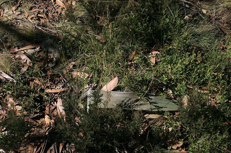 |
Border Markers on Little Ginini Mountain
This length of the border stretches from Stockyard Gap south up over Little Ginini Mountain then down to Pryors Hut. Border markers in this area are covered in the digitised original field book A 1022 – Q56 to P58 – FC18 sheet 12 – (PDF 12.7 mb). There are 10 border markers. As the pics show, all these have been visited. The only doubtful one is H57 and, having been there looking twice, I reckon it must have been bulldozed:
| Border Marker No | Comment from Survey Notes5 | ACTPLA Location UTM4 55H (MGA) |
Visited – click on a date for a walk report | Click on a thumbnail below to see the full sized Picture |
| H57 | none | 660731.465-6064639.694 only a marker peg up on the side of the road found. Suspect BM has been bulldozed |
18 Apr 09* |  |
| 20 Mile | Concrete Pipe and Cairn | 178509.320-574093.041 (ACT grid2 from annotated 1:16000 map segment) = 660755-6064577 (MGA) 660759.068-6064568.021 (calculated) |
14 Apr 09* |  |
| I57 | none | 660805.655-6064447.142 | 14 Apr 09* |  |
| J57 | none | 660856.194-6064296.517 | 14 Apr 09* |  |
| K57 | none | 660903.202-6064161.837 | 14 Apr 09* |  |
| L57 | 1″ Pipe | 660918.233-6064014.285 | 14 Apr 09* |  |
| M57 | Pipe | 660980.431-6063947.355 | 30 Apr 11 5 Feb 11 14 Apr 09* |
 |
| M57 blaze | 660991.657-6063947.031 (calculated) |
30 Apr 11* |  |
|
| N57 | none | 661045.705-6063797.508 | 14 Apr 09* | |
| O57 | 3″ Downpipe Concrete Core & Cairn – Station on knob Shist [sic] outcrop | 661090.908-6063718.545 | 19 Oct 22 30 Apr 11 5 Feb 11 14 Apr 09* |
 |
| P57 | Downpipe and Cairn | 661139.196-6063562.184 | 19 Oct 22 30 Apr 11 5 Feb 11 14 Apr 09* |
 |
Border Markers around Pryors Hut
Border markers in this area are covered in the digitised original field book A 1022 – Q56 to P58 – FC18 sheet 12 – (PDF 12.7 mb). Page 10b of the notebook (page 14 of the pdf file) shows the sketch of the area and page 11a (page 15 of the pdf) contains the survey data for Q57. Another marker, 191.78 links from Q57, unidentified except for the description ‘3″ Concrete Downpipe and Mound’, is the 21 Mile marker. I deduced this from the fact that the unidentified marker 60.31 links from X56 (see page 3b of the notebook) had a nearby blaze which included M19; the ACT Heritage Listing has entry 44 X56 and entry 45 19 Mile at the same location 604658; summing the distances between markers from 19 Mile to the marker near G57 gives 2 miles. These can both be found just S of Pryors Hut, on the W side of the Mt Franklin Road. This is where and how the border marker fetish started:
| Border Marker No | Comment from Survey Notes5 | ACTPLA Location UTM4 55H (MGA) |
Visited – click on a date for a walk report | Click on a thumbnail below to see the full sized Picture |
| Q57 | none | 661181.304-6063005.333 | 30 Apr 11 5 Feb 11 12 Jun 10 19 May 09 14 Apr 09 21 Mar 09* 17 Mar 09 |
 |
| 21 Mile | 3″ Concrete Downpipe and Mound | 178963.???-572568.??? (ACT grid2 from annotated 1:16000 map segment) = 661180-6063043 (MGA) 661178.392-6063043.591 (calculated) |
9-10 Jul 16 5 Feb 11 12 Jun 10 19 May 09 14 Apr 09 21 Mar 09* 17 Mar 09 |
 |
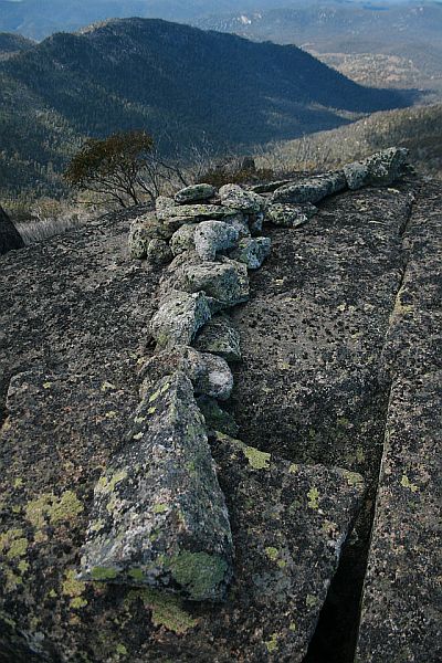
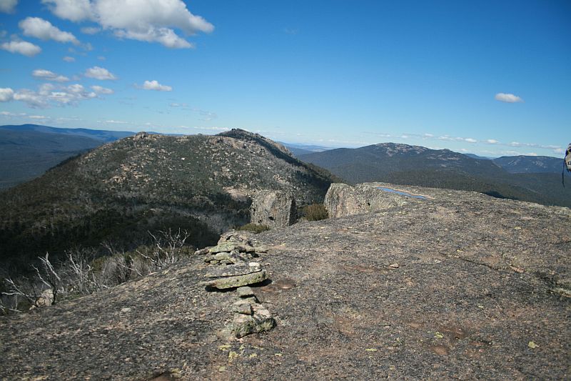
Border Markers along the Mt Gingera ridge – will the real Mt Gingera please stand up
Border markers in this area are covered in the digitised original field book A 1022 – Q56 to P58 – FC18 sheet 12 – (PDF 12.7 mb).
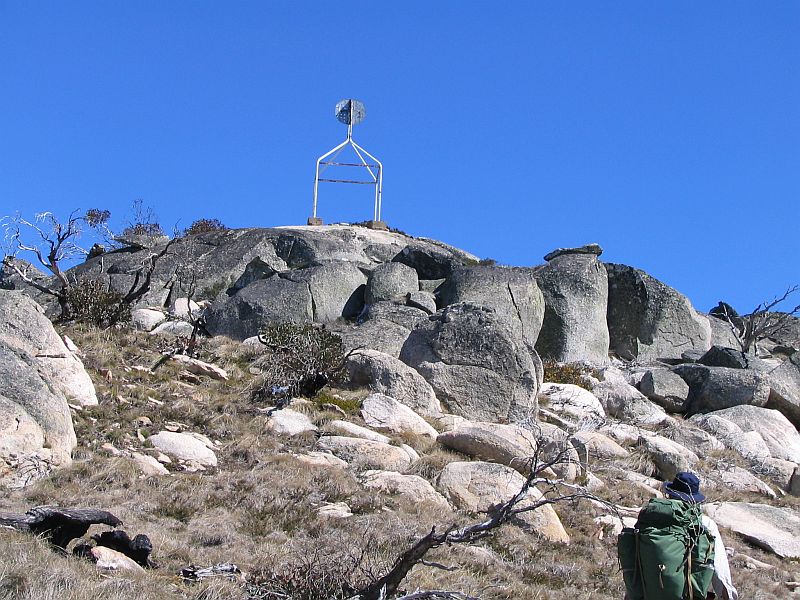
Alex P provided me with copies of 1:16000 map segments from Mt Coree to Mt Gingera, developed as a project guide for when the border was re-marked in this area. It shows the Mt Gingera (Mouat) trig point in the centre of the ridge around the top, with border marker W57 at the same location. At the SE end of the ridge, the map is annotated with a hand drawn trig marker and ‘NATMAP’, with border marker X57 at the same location. With 106m difference between these two locations, it must be easy to sort this out – and it was. My Mt Gingera trips, right from the first time I was taken there, was to the guyed pole. This has X57 at its base and is, perhaps, the NATMAP Mt Gingera. Obvious once pointed out that the granite tors 106m to the NW along the ridge are higher. Will continue to hunt for W57 (the real Mt Gingera), although if the 1″ Gaspipe is driven flush into the cleft of the boulder, it will be hard to find if covered with leaf litter, etc:
| Border Marker No | Comment from Survey Notes5 | ACTPLA Location UTM4 55H (MGA) |
Visited – click on a date for a walk report | Click on a thumbnail below to see the full sized Picture |
| R57 | 1″ Pipe | 660666.630-6062541.193 | 30 Apr 11 5 Feb 11 14 Apr 09 21 Mar 09* |
|
| S57 | none | 660682.707-6062494.256 | 14 Apr 09* |  |
| T57 | none | 660725.623-6062377.865 | 14 Apr 09* |  |
| U57 | Station on Granite Boulder 1″ Pipe cemented in crevisse [sic] of boulder about 12′ above ground | 660864.749-6062197.522 | 14 Apr 09* |  |
| V57 | 1″ Pipe Rock Station | 661030.003-6061901.631 | 14 Apr 09* |  |
| 22 Mile | 3″ Downpipe with Concrete Core and Bolt | 178917.156-571311.027 (ACT grid2 from annotated 1:16000 map segment) = 661106-6061788 (MGA) 661106.415-6061788.112 (calculated) |
30 Apr 11 14 Apr 09* |
 |
| W57 | Mount Gingera (MOUAT) Trig Point – 1″ Gaspipe driven into cleft of Boulder Mike L told me in 4/11 that Phil A put a drill hole and wing there during a 2004 re-survey |
661255.85-6061566.164 | not found 30 Apr 11 5 Feb 11 12 Jun 10 19 May 09, 14 Apr 09 |
Does anyone have a metal detector? |
| X57 | 1″ Pipe and Cairn | 661318.641-6061480.184 | 30 Apr 11 12 Jun 10 19 May 09 14 Apr 09* |
 |
Border Markers from Mt Gingera to Blackfellows Gap
Border markers in this area are covered in the digitised original field books A 1022 – Q56 to P58 – FC18 sheet 12 – (PDF 12.7 mb) and A 1024 – P58 to R59 – FC18 sheet 12 – (PDF 11.5 MB). Another lovely area of mountain grasses and Snow Gums, very different to the harsh Mt Franklin fire trail down below to the E:
| Border Marker No | Comment from Survey Notes5 | ACTPLA Location UTM4 55H (MGA) |
Visited – click on a date for a walk report | Click on a thumbnail below to see the full sized Picture |
| Y57 | Iron Spike in rock | 661342.951-6061414.897 | 19 May 09* |  |
| Z57 | Pipe 1″x15″ on Boulder | 661422.992-6061330.367 | 19 May 09* | 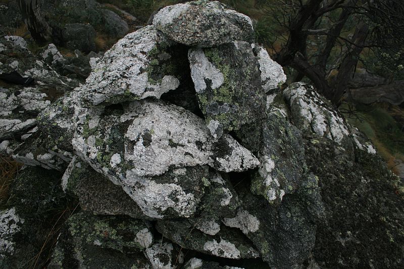 |
| A58 | Pipe and Cairn | 661478.169-6061257.226 | 19 May 09* |  |
| B58 | 1″ Galv Pipe and Cairn | 661480.698-6061139.657 | 19 May 09* |  |
| C58 | 8″ Post | 661511.131-6061032.948 | 19 May 09* |  |
| D58 | 8″ Post | 661634.541-6060989.605 | 19 May 09* | 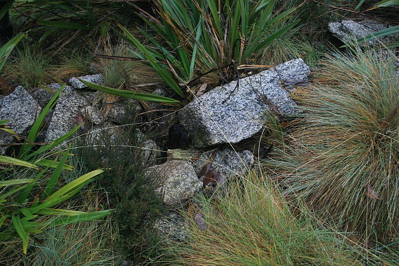 |
| E58 | 8″ Post | 661728.819-6060947.549 | 19 May 09* | 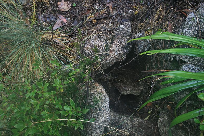 |
| F58 | 1″ Galv Pipe and Cairn | 661832.006-6060891.671 | 19 May 09* | 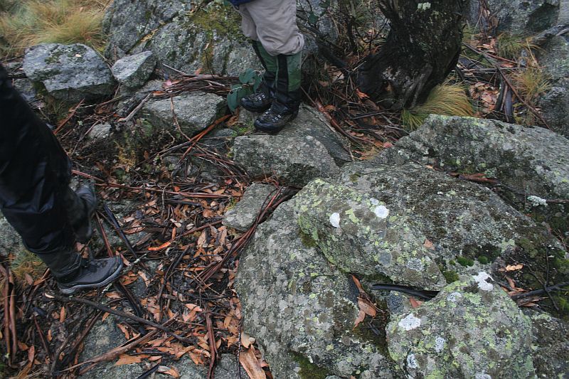 |
| G58 | 1″ Galv Pipe and Cairn on Rock Mass Line drops 30′ Vertical 10 links on from Station |
661872.553-6060762.430 | 19 May 09* | 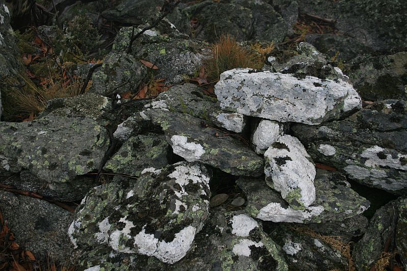 |
 |
||||
| H58 | 1″ Galv Pipe and Cairn | 661913.269-6060659.347 | 19 May 09* |  |
| I58 | 1″ Galv Pipe and Cairn | 661926.866-6060598.937 | 19 May 09* |  |
| 23 Mile | Concreted downpipe and Cairn Milepoint falls on side of boulder |
661976.257-6060485.997 (calculated) |
19 May 09* |  |
| J58 | 1″ Galv Pipe and Cairn | 661976.246-6060486.048 | 19 May 09* | 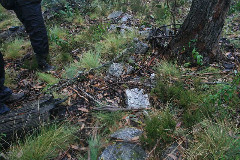 |
| K58 | 1″ Galv Pipe and Cairn | 662013.093-6060452.140 | 19 May 09* |  |
| L58 | 1″ Galv Pipe and Cairn | 662035.371-6060347.289 | 19 May 09* |  |
| M58 | 1″ Pipe and Cairn | 662048.481-6060294.913 | 19 May 09* |  |
| N58 | 1″ Galv Pipe and Cairn | 662060.223-6060236.641 | 19 May 09* |  |
| O58 | 1″ Galv Pipe and Cairn | 662016.534-6060149.776 | 11 May 10* |  |
| P58 | 1″ Galv Pipe and Cairn | 661939.587-6059986.170 | 11 May 10* |  |
| Q58 | 8″ Post | 661770.014-6059826.325 | 11 May 10* |  |
| R58 | 8″ Post | 661613.456-6059680.198 | 27 Oct 12 11 May 10* |
  |
| R58 survey tree | 131°33′ 9.55 to Gum | 661614.867-6059678.895 (calculated) |
27 Oct 12 11 May 10* |
 |
Border Markers between Blackfellows Gap and Rolling Ground Gap
Border markers in this area are covered in the digitised original field book A 1024 – P58 to R59 – FC18 sheet 12 – (PDF 11.5 MB):
| Border Marker No | Comment from Survey Notes5 | ACTPLA Location UTM4 55H (MGA) |
Visited – click on a date for a walk report | Click on a thumbnail below to see the full sized Picture |
| S58 | 1″ Pipe and Cairn | 661540.257-6059461.959 | not there 11 May 10 |
located in middle of road |
| T58 | 1″ Pipe and Cairn | 661272.915-6059394.244 | not there 11 May 10 |
 |
| 24 Mile | Concreted Downpipe sunk flush and Cairn | 661223.247-6059377.252 (calculated) |
visited location but not identified 27 Oct 12 not searched for 11 May 10 |
– |
| U58 | 1″ Pipe and Cairn | 661097.881-6059334.363 | 11 May 10* | 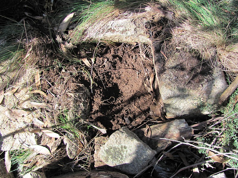 |
| V58 | 1″ Pipe and Cairn | 660941.215-6059258.178 | 11 May 10* | 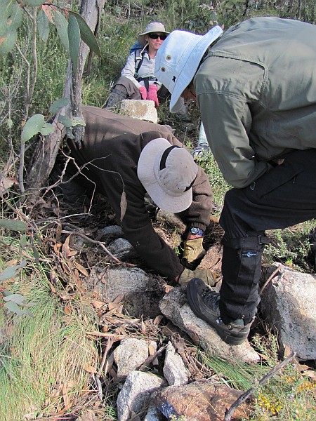 |
| W58 | 1″ Pipe and Cairn | 660847.340-6059234.365 | 11 May 10* | 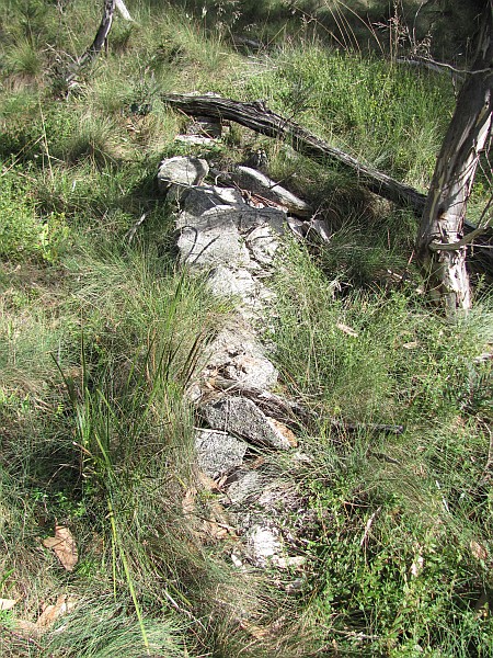 |
| X58 | 1″ Pipe and Cairn | 660749.256-6059188.538 | 11 May 10* | 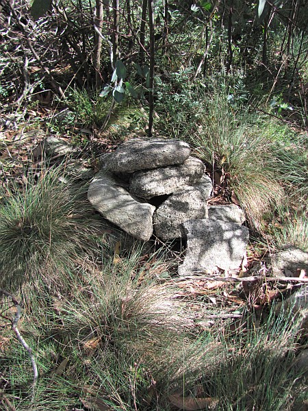 |
| Y58 | 1″ Galv Pipe and Cairn | 660666.269-6059127.315 | 11 May 10* |  |
| Z58 | 1″ Galv Pipe and Cairn | 660636.376-6059025.515 | 11 May 10* |  |
| A59 | 1″ Galv Pipe and Cairn | 660564.566-6058931.882 | 11 May 10* |  |
| B59 | 1″ Pipe and Cairn | 660529.089-6058815.380 | 11 May 10* |  |
| C59 | 1″ Galv Pipe and Cairn | 660419.049-6058743.742 | 27 Oct 12* |  |
| D59 | 1″ Galv Pipe and Cairn | 660293.191-6058682.853 | 11 May 10* | 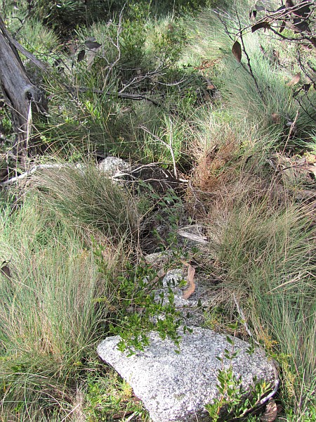 |
| E59 | 1″ Pipe and Cairn | 660243.930-6058670.290 | 11 May 10* | 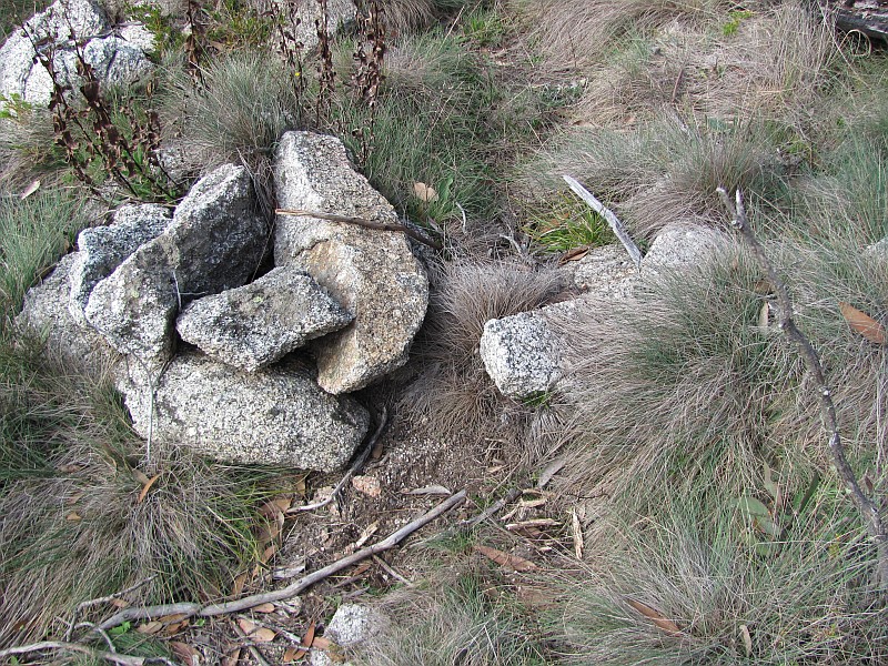 |
| F59 | 1″ Pipe and Cairn Station on Boulder | 660187.468-6058609.850 | 27 Oct 12 11 May 10* |
 |
| G59 | 1″ Pipe and Cairn | 660227.391-6058503.042 | visited location but not identified 27 Oct 12 |
– |
| 25 Mile | Concreted Downpipe and Cairn | 660295.885-6058393.424 (calculated) |
27 Oct 12* |  |
| H59 | 1″ Pipe and Cairn | 660304.441-6058379.733 | visited location but not identified 27 Oct 12 |
– |
| I59 | 1″ Galv Iron Pipe and Cairn | 660379.400-6058270.286 | 27 Oct 12* |  |
| J59 | 1″ Galv Pipe and Cairn | 660413.539-6058179.055 | 27 Oct 12* |  |
| J59 blaze | 660418.310-6058183.798 (calculated) |
27 Oct 12* remnant blaze |
 |
|
| K59 | 8″ Post | 660466.883-6058067.148 | 27 Oct 12* |  |
| L59 | 8″ Post | 660558.595-6057922.276 | visited location but not identified 27 Oct 12 |
– |
| M59 | 8″ Post | 660652.826-6057851.916 | 27 Oct 12* |  |
| N59 | 8″ Post | 660755.290-6057777.702 | 27 Oct 12* |  |
| O59 | 8″ Post | 660880.099-6057669.807 | 27 Oct 12* |  |
Border Markers between Rolling Ground Gap and Leura Gap
Border markers in this area are covered in the digitised original field book A 1024 – P58 to R59 – FC18 sheet 12 – (PDF 11.5 MB) and A 1055 – K59 to K76 – FC18 sheet 11, 12 – (PDF 12.5 mb). There are 19 border markers in the area – P59, Q59 and R59 with no descriptions; 26 Mile with description ‘3″ Concreted Downpipe and Mound’; A73, B73, C73 with no descriptions; D73, E73, F73, G73, H73 sketched on page 5b of the notebook with description ‘All stations marked with iron pipes 1″x15″ filled with concrete, sunk flush and surrounded by cairn’; I73, J73, K73, L73 sketched on page 6b of the notebook with description ‘All stations marked by iron pipes 1″x15″ sunk flush, filled with concrete and cairned.’; M73, N73, O73 with no description. In the sketch on page 7b of the notebook, a marker with description ‘Concreted Downpipe and Cairn’ is crossed through – yet it must correspond to site # 65 in the ACT Heritage Register list for the 27 Mile marker. Found 1 by chance prior to border marker mania setting in and plan to go back on 19 May 09:
| Border Marker No | Comment from Survey Notes5 | ACTPLA Location UTM4 55H (MGA) |
Visited – click on a date for a walk report | Click on a thumbnail below to see the full sized Picture |
| P59 | 8″ Post | 661049.605-6057471.160 | visited location but not identified 27 Oct 12 |
– |
| Q59 | 8″ Post | 661127.427-6057317.616 | 27 Oct 12* |  |
| R59 | Pipe and Cairn Open swampy flat | 661172.127-6057161.698 | 27 Oct 12* |  |
| 26 Mile | 3″ Concreted Downpipe 2′ long and Cairn | 661189.352-6057101.616 (calculated) |
27 Oct 12* |  |
| A73 | 661241.681-6057002.365 | Possible identification 27 Oct 12* |
 |
|
| B73 | 661235.634-6056926.952 | 27 Oct 12* |  |
|
| C73 | 661257.433-6056700.777 | 27 Oct 12* |  |
|
| D73 | 661183.642-6056547.859 | 27 Oct 12* |  |
|
| E73 | 661150.270-6056449.871 | 27 Oct 12* |  |
|
| F73 | 661159.958-6056325.035 | 27 Oct 12* |  |
|
| G73 | All stations marked with iron pipes 1″x15″ filled with concrete, sunk flush and surrounded by cairn | 661230.897-6056184.596 | 27 Oct 12* 9-10 Jan 09 |
 |
| H73 | All stations marked with iron pipes 1″x15″ filled with concrete, sunk flush and surrounded by cairn | 661252.887-6056073.625 | 27 Oct 12* |  |
| I73 | 661403.072-6056047.899 | 27 Oct 12* |  |
|
| J73 | 661467.251-6055914.760 | 27 Oct 12* |  |
|
| K73 | 661496.412-6055789.492 | 27 Oct 12* |  |
|
| 27 Mile | 661467.860-6055697.040 (calculated) |
27 Oct 12* |  |
|
| L73 | 661450.097-6055639.528 | 27 Oct 12* |  |
|
| M73 | 661395.476 -6055597.673 | 27 Oct 12* |  |
|
| N73 | 661334.563-6055535.352 | 27 Oct 12* |  |
|
| O73 | 5-6 Apr 13* |  |
Border Markers from Leura Gap to Bimberi Gap
Border markers in this area are covered in the digitised original field book A 1055 – K59 to K76 – FC18 sheet 11, 12 – (PDF 12.5 mb).
| Border Marker No | Comment from Survey Notes5 | ACTPLA Location UTM4 55H (MGA) |
Visited – click on a date for a walk report | Click on a thumbnail below to see the full sized Picture |
| P73 | – | 660827.217-6054920.131 | 5-6 Apr 13* |  |
| Q73 | – | 660776.133-6054908.103 | 5-6 Apr 13* |  |
| 28 Mile | Concreted Downpipe and Cairn, mile point falls on side of boulder | 660364.999-6054558.523 (calculated) |
5-6 Apr 13* |  |
| R73 | – | 660333.660-6054531.888 | 5-6 Apr 13* |  |
| S73 | – | 660365.999-6054461.708 | visited location but not identified 5-6 Apr 13 |
– |
| T73 | – | 660430.952-6054396.804 | 5-6 Apr 13* |  |
| U73 | – | 660406.019-6054270.520 | 5-6 Apr 13* |  |
| V73 | – | 660377.680-6054162.615 | visited location but not identified 5-6 Apr 13 |
– |
| W73 | – | 660404.464-6053995.103 | 5-6 Apr 13* |  |
| X73 | – | 660367.607-6053885.018 | 5-6 Apr 13* |  |
| Y73 | – | 660282.733-6053841.706 | 5-6 Apr 13* |  |
| Z73 | – | 660165.021-6053886.977 | 5-6 Apr 13* |  |
| A74 | – | 660071.182-6053775.067 | 5-6 Apr 13* |  |
| B74 | – | 660014.777-6053718.850 | 5-6 Apr 13* |  |
| C74 | – | 660055.713-6053655.987 | 5-6 Apr 13* |  |
| D74 | – | 660097.880-6053582.792 | 5-6 Apr 13* |  |
| E74 | – | 660197.476-6053480.119 | 5-6 Apr 13* |  |
| F74 | – | 660253.345-6053441.466 | 5-6 Apr 13* |  |
| 29 Mile | Concreted Downpipe and Cairn | 660304.395-6053445.887 (calculated) |
5-6 Apr 13* |  |
| G74 | Station on granite boulder | 660396.077-6053453.824 | 5-6 Apr 13* |  |
| H74 | – | 660492.018-6053417.995 | 5-6 Apr 13* |  |
| I74 | – | 660502.245-6053337.276 | 5-6 Apr 13* |  |
| J74 | – | 660510.078-6053204.012 | 5-6 Apr 13* |  |
| K74 | – | 660428.290-6053014.793 | 5-6 Apr 13* |  |
| L74 | – | 660454.944-6052951.145 | 5-6 Apr 13* |  |
| M74 | – | 660504.771-6052857.638 | 5-6 Apr 13* |  |
| N74 | 4″ Nail in Concrete in bare rock | 660542.175-6052811.793 | 5-6 Apr 13* |   |
| O74 | 1″ Pipe and Cairn | 660647.418-6052796.025 | 5-6 Apr 13* |  |
| O74 blaze | – | 660645.036-6052795.128 (calculated) |
5-6 Apr 13* |  |
| P74 | 1″ Pipe and Cairn | 660706.410-6052773.868 | visited location but not identified 5-6 Apr 13 |
– |
| Q74 | 1″ Pipe and Cairn | 660802.004-6052774.199 | visited location but not identified 5-6 Apr 13 |
– |
| R74 | 1″ Pipe and Cairn | 660913.724-6052768.374 | visited location but not identified 5-6 Apr 13 |
– |
| S74 | 1″ Pipe and Cairn | 660973.745-6052754.673 | 5-6 Apr 13* |  |
| T74 | 1″ Pipe and Cairn | 661122.415-6052748.543 | 5-6 Apr 13* |  |
| U74 | – | 661216.418-6052746.558 | 5-6 Apr 13* |  |
| V74 | – | 661285.684-6052763.272 | visited location but not identified 5-6 Apr 13 |
– |
| 30 Mile | Concreted Downpipe and Cairn | 661289.879-6052761.567 (calculated) |
visited location but not identified 5-6 Apr 13 |
– |
| W74 | – | 661370.529-6052728.777 | 5-6 Apr 13* |  |
| X74 | – | 661431.456-6052708.065 | 5-6 Apr 13* |  |
| Y74 | – | 661510.104-6052644.954 | 5-6 Apr 13* |  |
| Z74 | – | 661600.705-6052613.196 | 5-6 Apr 13* |  |
| A75 | – | 661677.897-6052581.382 | 5-6 Apr 13* |  |
| B75 | – | 661709.365-6052526.389 | 5-6 Apr 13* |  |
| C75 | Spike and Cairn | 661698.961-6052455.743 | 5-6 Apr 13* |  |
| D75 | 1″ Pipe and Cairn | 661754.079-6052241.882 | 5-6 Apr 13* |   |
| E75 | 1″ Pipe and Cairn | 661807.480-6052224.291 | 5-6 Apr 13* |  |
| F75 | Spike and Cairn | 662007.742-6052313.155 | 5-6 Apr 13* |  |
Border Markers from Bimberi Peak through Murrays Gap to Mt Murray
Border markers in this area are covered in the digitised original field books A 1055 – K59 to K76 – FC18 sheet 11, 12 – (PDF 12.5 mb) and A 1056 – K76 to W79 – FC 18 sheet 11 – (PDF 12.6 mb):
| Border Marker No | Comment from Survey Notes5 | ACTPLA Location UTM4 55H (MGA) |
Visited – click on a date for a walk report | Click on a thumbnail below to see the full sized Picture |
| Bimberi Trig Station | – | 662078.213-6052360.256 | 12-14 Sep 06* 5-6 Apr 13 |
 |
| G75 | 1″ Pipe and Cairn | 662178.150-6052272.278 | 23-24 May 15 5-6 Apr 13* |
 |
| H75 | 1″ Pipe and Cairn | 662262.293-6052164.065 | 5-6 Apr 13* |  |
| I75 | 1″ Pipe and Cairn | 662368.086-6052046.999 | 5-6 Apr 13* |  |
| 31 Mile | Concreted Downpipe sunk 4″ below surface | 662384.058-6052017.742 (calculated) |
5-6 Apr 13* |  |
| J75 | 1″ Pipe and Cairn | 662411.609-6051967.260 | 5-6 Apr 13* |  |
| K75 | 1″ Pipe and Cairn | 662457.194-6051889.648 | 5-6 Apr 13* |  |
| L75 | 1″ Pipe and Cairn | 662599.422-6051804.848 | 5-6 Apr 13* |  |
| M75 | 1″ Pipe and Cairn | 662590.391-6051739.197 | 5-6 Apr 13* |  |
| N75 | 1″ Pipe and Cairn | 662626.052-6051689.766 | 5-6 Apr 13* |  |
| O75 | 1″ Pipe and Cairn | 662682.479-6051615.677 | 5-6 Apr 13* |  |
| P75 | 1″ Pipe and Cairn | 662778.038-6051540.111 | 5-6 Apr 13* |  |
| Q75 | 1″ Pipe and Cairn | 662783.824-6051497.489 | 5-6 Apr 13* |  |
| R75 | 1″ Pipe and Cairn | 662730.553-6051389.650 | 5-6 Apr 13* |  |
| S75 | 1″ Pipe and Cairn | 662690.685-6051299.873 | 5-6 Apr 13* |  |
| T75 | 1″ Pipe and Cairn | 662680.951-6051166.037 | 5-6 Apr 13* |  |
| U75 | 1″ Pipe and Cairn | 662668.731-6051059.607 | 5-6 Apr 13* |  |
| V75 | 1″ Pipe and Cairn | 662652.045-6050977.966 | 5-6 Apr 13* |  |
| W75 | 1″ Pipe and Cairn | 662661.620-6050892.404 | 5-6 Apr 13* |  |
| X75 | 1″ Pipe and Cairn | 662696.517-6050803.342 | visited location but not identified 5-6 Apr 13 |
– |
| Y75 | 1″ Pipe and Cairn | 662723.147-6050705.757 | 5-6 Apr 13* |  |
| 32 Mile | Concreted Downpipe sunk flush and Cairn | 662725.551-6050621.368 (calculated) |
visited location but not identified 5-6 Apr 13 |
– |
| Z75 | 1″ Pipe and Cairn | 662727.172-6050564.273 | 5-6 Apr 13* |  |
| A76 | 1″ Pipe and Cairn | 662753.229-6050480.672 | 5-6 Apr 13* |  |
| B76 | 1″ Pipe and Cairn | 662738.174-6050374.633 | 5-6 Apr 13* |  |
| C76 | 1″ Pipe and Cairn | 662728.949-6050317.474 | 5-6 Apr 13* |  |
| D76 | 1″ Pipe and Cairn | 662711.325-6050232.929 | 5-6 Apr 13* |  |
| E76 | – | 662669.292-6050144.857 | 5-6 Apr 13* |  |
| F76 | – | 662680.988-6050091.949 | 5-6 Apr 13* |  |
| G76 | – | 662664.295-6050007.531 | 4 Feb 12 5-6 Apr 13* |
 |
| H76 | 1″ Pipe | 662629.628-6049894.720 | not found 1-4 Oct 10 visited location but not identified 5-6 Apr 13 |
– |
| I76 | 1″ Pipe | 662575.437-6049761.622 | not found 1-4 Oct 10 visited location but not identified 5-6 Apr 13 |
– |
| J76 | 1″ Pipe Concreted | 662493.221-6049658.673 | possible find 1-4 Oct 10* visited location but not identified 5-6 Apr 13 |
 |
| K76 | 1″ Pipe and Cairn | 662473.418-6049599.387 | 5-6 Apr 13* |  |
| L76 | 1″ Pipe and Cairn | 662389.627-6049492.972 | 5-6 Apr 13* |  |
| M76 | 1″ Pipe and Cairn | 662346.778-6049427.007 | visited location but not identified 5-6 Apr 13 |
– |
| N76 | 1″ Pipe and Cairn | 662308.151-6049379.817 | visited location but not identified 5-6 Apr 13 |
– |
| O76 | – | 662266.439-6049308.733 | 5-6 Apr 13* |  |
| P76 | – | 662245.005-6049237.001 | 5-6 Apr 13* |  |
| Q76 | – | 662233.677-6049171.380 | 5-6 Apr 13* |  |
| 33 Mile | Short downpipe with concrete core buried 3″ | 662227.412-6049152.463 (calculated) |
5-6 Apr 13* |  |
| R76 | – | 662204.974-6049084.724 | 5-6 Apr 13* |  |
| S76 | – | 662181.845-6049028.815 | 5-6 Apr 13* |  |
Border Markers from Mt Murray to Yaouk Gap
This is a grand Snow Gum and mountain grasses area. The border markers are covered in the digitised original field book A 1056 – K76 to W79 – FC 18 sheet 11 – (PDF 12.6 mb).
| Border Marker No | Comment from Survey Notes5 | ACTPLA Location UTM4 55H (MGA) |
Visited – click on a date for a walk report | Click on a thumbnail below to see the full sized Picture |
| T76 | Mt Murray Summit | 662091.197-6048994.956 | 7 Apr 09* 5-6 Apr 13 |
 |
| U76 | 1″ Pipe and Cairn | 662085.740-6048941.595 | 7 Apr 09* 5-6 Apr 13 |
 |
| V76 | 1″ Pipe and Cairn | 662069.954-6048863.258 | 5-6 Apr 13* |  |
| V76 blaze | – | 662069.435-6048859.025 (calculated) |
5-6 Apr 13* |  |
| W76 | 1″ Pipe and Cairn | 662085.152-6048813.843 | 5-6 Apr 13* |  |
| X76 | 1″ Pipe and Cairn | 662100.587-6048762.359 | 5-6 Apr 13* |  |
| Y76 | – | 662067.296-6048710.923 | 5-6 Apr 13* |  |
| Z76 | – | 662064.718-6048651.655 | 5-6 Apr 13* |  |
| A77 | – | 662085.718-6048587.267 | 5-6 Apr 13* |  |
| B77 | 1″ Pipe and Cairn | 661995.842-6048433.961 | 5-6 Apr 13* |   |
| C77 | 1″ Pipe and Cairn | 661968.063-6048373.154 | 5-6 Apr 13* |  |
| D77 | 1″ Pipe and Cairn | 661920.428-6048307.884 | 5-6 Apr 13* |  |
| E77 | 1″ Pipe and Cairn | 661894.920-6048238.675 | 5-6 Apr 13* |  |
| F77 | 1″ Pipe and Cairn | 661836.485-6048163.394 | visited location but not identified 5-6 Apr 13 |
– |
| G77 | – | 661809.250-6048094.508 | 5-6 Apr 13* |  |
| H77 | – | 661848.216-6047986.875 | 5-6 Apr 13* |  |
| I77 | – | 661880.982-6047893.512 | 5-6 Apr 13* |  |
| J77 | 1″ Pipe and Cairn | 661912.880-6047819.677 | 5-6 Apr 13* |  |
| 34 Mile | Concreted Downpie and Cairn Mile Point comes on side of boulder | 661951.875-6047740.013 (calculated) |
5-6 Apr 13* |  |
| K77 | 1″ Pipe and Cairn | 661954.604-6047734.425 | 5-6 Apr 13* |  |
| L77 | 1″ Pipe and Cairn | 661970.987-6047662.704 | 5-6 Apr 13* |  |
| M77 | – | 661997.362-6047586.243 | 5-6 Apr 13* |  |
| N77 | 1″ Pipe and Cairn | 662040.459-6047528.107 | 5-6 Apr 13* |  |
| O77 | 1″ Pipe and Cairn | 662038.167-6047466.928 | 5-6 Apr 13* |  |
| P77 | 1″ Pipe and Cairn | 662071.894-6047427.127 | 5-6 Apr 13* |  |
| Q77 | 1″ Pipe and Cairn | 662127.380-6047385.991 | 7 Apr 09* 5-6 Apr 13 |
 |
 |
||||
| R77 | 1″ Pipe and Cairn | 662189.673-6047334.974 | visited location but not identified 5-6 Apr 13 |
– |
| S77 | 1″ Pipe and Cairn | 662235.328-6047273.788 | 5-6 Apr 13* |  |
| T77 | 1″ Pipe and Cairn | 662224.241-6047206.747 | 5-6 Apr 13* |  |
| U77 | 1″ Pipe and Cairn Station in granite rock | 662274.533-6047155.455 | 5-6 Apr 13* |  |
| V77 | 1″ Pipe and Cairn | 662319.024-6047126.299 | 5-6 Apr 13* |  |
| W77 | 1″ Pipe and Cairn | 662416.866-6047017.257 | 5-6 Apr 13* |  |
| X77 | 1″ Pipe and Cairn | 662486.929-6046957.197 | 5-6 Apr 13* |  |
| Y77 | 1″ Pipe and Cairn | 662518.855-6046860.522 | 5-6 Apr 13* |  |
| Z77 | 1″ Pipe and Cairn | 662495.239-6046800.926 | 5-6 Apr 13* |  |
| A78 | – | 662555.872-6046765.931 | 5-6 Apr 13* |  |
| B78 | – | 662653.499-6046694.934 | 5-6 Apr 13* |  |
| C78 | – | 662737.185-6046672.446 | 5-6 Apr 13* |  |
| D78 | – | 662779.855-6046619.813 | 5-6 Apr 13* |  |
| E78 | – | 662839.842-6046563.206 | 5-6 Apr 13* |  |
| 35 Mile | Concreted Downpipe and Cairn | cannot calculate GR as no links in notebook | visited location but not identified 5-6 Apr 13 |
– |
| F78 | – | 662909.157-6046529.705 | 5-6 Apr 13* |  |
| F78 blaze | – | 662909.501-6046531.431 (calculated) |
5-6 Apr 13* |  |
| G78 | – | 662988.334-6046487.101 | 5-6 Apr 13* |  |
| H78 | – | 663042.742-6046427.200 | 5-6 Apr 13* |  |
| I78 | – | 663107.620-6046349.134 | 5-6 Apr 13* |  |
| J78 | – | 663197.226-6046270.179 | 5-6 Apr 13* |  |
| K78 | – | 663299.204-6046269.072 | 5-6 Apr 13* |  |
| L78 | – | 663400.277-6046169.595 | visited location but not identified 5-6 Apr 13 |
– |
| M78 | – | 663480.668-6046094.678 | visited location but not identified 5-6 Apr 13 |
– |
| N78 | – | 663527.843-6046021.367 | 5-6 Apr 13* |  |
| N78 blaze | – | 663529.488-6046017.663 (calculated) |
5-6 Apr 13* |  |
| O78 | – | 663589.775-6045908.331 | visited location but not identified 5-6 Apr 13 |
– |
| P78 | – | 663753.322-6045813.264 | visited location but not identified 5-6 Apr 13 |
– |
| Q78 | – | 663854.636-6045789.027 | 5-6 Apr 13* |  |
| R78 | – | 663890.678-6045697.755 | 5-6 Apr 13* |  |
| S78 | – | 663966.022-6045619.760 | 5-6 Apr 13* |  |
| T78 | – | 664014.113-6045605.993 | 5-6 Apr 13* |  |
| 36 Mile | Concreted Downpipe 2′ long with earth mound | 664047.340-6045605.378 (calculated) |
5-6 Apr 13* |  |
| U78 | – | 664094.690-6045604.496 | 5-6 Apr 13* |  |
| V78 | – | 664259.916-6045644.460 | visited location but not identified 5-6 Apr 13 |
– |
| W78 | – | 664374.849-6045696.036 | visited location but not identified 5-6 Apr 13 |
– |
| X78 | – | 664508.554-6045724.609 | visited location but not identified 5-6 Apr 13 |
– |
| Y78 | – | 664681.944-6045632.939 | visited location but not identified 22 Mar 14 5-6 Apr 13 |
– |
Border Markers in the Mt Scabby area
The Cotter River rises here and it would have to be one of the most beautiful areas in the Namadgi National Park. If the area is defined to be that above the 1700m contour, it contains 15 border markers and each one should be identifiable as there are no wooden posts. They are covered in the digitised original field book A 1057 – W79 to L82 – FC sheet 10, 11 – (PDF 12.4 mb). The border markers are – G80, H80 with descriptions ‘Concrete cylinder and cairn’; unidentified marker (Mile marker?) with description ‘Concreted cylinder covered with heavy cairn’; I80 with description ‘Concrete cylinder on bare granite and Cairn’; J80 ‘Concrete cylinder’; K80 ‘Concrete mark/cylinder and cairn’; L80, M80, N80, O80 and P80 with descriptions ‘Nail in concrete’; unidentified marker (41 Mile from ACT Heritage Register) with description ‘Concrete cylinder on bare granite heavily cairned’; Q80, R80 and S80 with descriptions ‘Concrete cylinder and cairn’. The following 5 found by good fortune prior to being given access to the ACTPLA data:
| Border Marker No | Comment from Survey Notes5 | ACTPLA Location UTM4 55H (MGA) |
Visited – click on a date for a walk report | Click on a thumbnail below to see the full sized Picture |
| Z78 | 664842.751-6045468.365 | 22 Mar 14* |  |
|
| A79 | 664856.830-6045380.705 | 22 Mar 14* |  |
|
| B79 | 664894.488-6045286.708 | 22 Mar 14* |  |
|
| C79 | 664896.886 6045215.843 | 22 Mar 14* |  |
|
| D79 | 664933.814-6045106.860 | visited location but not identified 22 Mar 14 |
– | |
| E79 | 665059.372-6045012.100 | visited location but not identified 22 Mar 14 |
– | |
| F79 | 665140.314-6044985.295 | 22 Mar 14* |  |
|
| 37 Mile | Concreted Downpipe 2′ long sunk flush with rock cairn | 665213.058-6044943.265 (calculated) |
22 Mar 14* |  |
| G79 | 665317.620-6044882.835 | 22 Mar 14* |  |
|
| H79 | 665416.588-6044710.562 | 22 Mar 14* |  |
|
| I79 | 665434.560-6044634.043 | 22 Mar 14* |  |
|
| J79 | 665460.516-6044436.492 | 22 Mar 14* |  |
|
| K79 | 665512.653-6044212.742 | 22 Mar 14* |  |
|
| L79 | 665629.232-6044002.036 | 22 Mar 14* |  |
|
| M79 | Spike cemented in cleft of granite rock | 665754.880-6043894.098 | 22 Mar 14* |  |
| N79 | Pipe 1″x15″ | 665772.541-6043731.193 | 22 Mar 14* |  |
| 38 Mile | Concreted 2′ long Downpipe heavily cairned Milepoint on side of boulder | 665854.562-6043531.630 (calculated) |
22 Mar 14* |  |
| O79 | Pipe 1″x15″ | 665857.155-6043525.282 | 22 Mar 14* |  |
| P79 | Pipe 1″x15″ | 665908.105-6043277.520 | 22 Mar 14* |  |
| Q79 | Pipe 1″x15″ | 665959.747-6043209.431 | 22 Mar 14* |  |
| R79 | Pipe 1″x15″ | 666002.076-6043121.783 | 22 Mar 14* |  |
| S79 | Pipe 1″x15″ | 666124.326-6042982.945 | 22 Mar 14* |  |
| T79 | Pipe 1″x15″ | 666253.988-6042860.239 | 22 Mar 14* |  |
| U79 | Cement cylinder on boulder | 666350.330-6042715.505 | 22 Mar 14* |   |
| V79 | Pipe 1″x15″ | 666459.274-6042594.863 | visited location but not identified 22 Mar 14 |
– |
| W79 | Pipe 1″x15″ and Cairn | 666634.531-6042471.579 | visited location but not identified 22 Mar 14 |
– |
| X79 | Pipe 1″x15″ and Cairn | 666704.160-6042402.935 | 22 Mar 14* |  |
| Y79 | 1″ Pipe and Cairn | 666792.753-6042311.731 | 22 Mar 14* |  |
| 39 Mile | 2″ Concreted Downpipe sunk flush with earth mound | 666813.829-6042302.813 | visited location but not identified 22 Mar 14 |
– |
| Z79 | 1″ Pipe and Cairn | 666913.709-6042260.540 | 22 Mar 14* |  |
| A80 | Pipe 1″x15″ and Cairn | 667004.905-6042148.166 | 22 Mar 14* |  |
| B80 | Pipe 1″x15″ and Cairn | 667120.169-6042101.029 | 22 Mar 14* |  |
| C80 | Concrete mark on boulder | 667166.233-6042083.986 | 22 Mar 14* |   |
| D80 | Pipe 1″x15″ and Cairn | 667230.285-6042098.339 | 22 Mar 14* |  |
| E80 | Pipe 1″x15″ and Cairn | 667358.828-6042055.772 | 22 Mar 14* |   |
| F80 | 8″ Spike and Cairn | 667577.096-6042079.099 | possible identification 22 Mar 14* |
 |
| G80 | Concrete cylinder and cairn | 667633.090-6042061.210 | 22 Mar 14* |  |
| H80 | Concrete cylinder and cairn | 667812.762-6041798.041 | visited location but not identified 22 Mar 14 |
– |
| 40 Mile | Concreted cylinder covered with heavy cairn | 667743.575-6041420.195 (calculated) |
22 Mar 14* |  |
| I80 | Concrete cylinder on bare granite and Cairn | 667696.772-6041164.843 | 22 Mar 14 13-14 Jul 13 15 Apr 08* |
 |
| J80 | Concrete cylinder; Cement mark on rock | 667759.404-6040976.348 | 13-14 Jul 13* |  |
| K80 | Concrete mark/cylinder and cairn; Cement mark on rock | 667926.330-6040917.750 | 13-14 Jul 13* |  |
| L80 | Nail in concrete; Cement mark on rock | 667979.372-6040941.619 | 13-14 Jul 13* |  |
| M80 | Nail in concrete; Cement mark on rock | 668120.929-6041003.801 | 13-14 Jul 13 8-9 Jul 06* |
 |
| N80 | Nail in concrete; Cement mark on rock | 668208.424-6041100.749 | 13-14 Jul 13 15 Apr 08* |
 |
| O80 | Nail in concrete; Cement mark on rock | 668274.419-6041178.754 | 13-14 Jul 13 15 Apr 08* |
 |
| P80 | 668379.275-6041345.621 | 13-14 Jul 13* |  |
|
| 41 Mile | 668280.345-6041661.506 (calculated) |
13-14 Jul 13* |  |
|
| Q80 | Concrete cylinder and Cairn | 668263.170-6041716.475 | 13-14 Jul 13 15 Apr 08* |
 |
| R80 | 668234.392-6041867.162 | 13-14 Jul 13* |  |
|
| S80 | 668302.393-6042161.776 | 13-14 Jul 13* |   |
|
| T80 | 668420.275-6042242.642 | 13-14 Jul 13* | 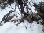 |
|
| U80 | 668534.197-6042400.390 | 13-14 Jul 13* |  |
|
| V80 | 668545.315-6042450.988 | 13-14 Jul 13* | 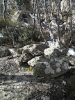 |
|
| W80 | 668550.890-6042518.726 | 13-14 Jul 13* |  |
|
| X80 | 668633.997-6042896.628 | visited location but not identified 13-14 Jul 13 |
– | |
| Y80 | 668631.039-6043021.666 | 13-14 Jul 13* |  |
|
| 42 Mile+1ch | 668730.066-6043129.212 (calculated) |
visited location but not identified 13-14 Jul 13 |
– | |
| Z80 | Pipe 1″x15″ and cairn | 668805.970-6043211.620 | 14-16 Mar 14 13-14 Jul 13* |
 |
| A81 | 8″ Spike in Concrete | 668871.528-6043426.576 | 14-16 Mar 14* | 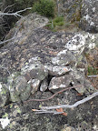  |
| B81 | Concrete cylinder and cairn | 668811.995-6043600.966 | 14-16 Mar 14* |   |
| C81 | Concrete cylinder and Cairn | 668575.556-6043966.491 | 14-16 Mar 14* |   |
| D81 | Concrete cylinder and Cairn | 668739.765-6044215.430 | 14-16 Mar 14* |   |
| E81 | Pipe 1″x15″ and Cairn | 668866.820-6044180.143 | 14-16 Mar 14* |  |
| F81 | Spike in concrete | 668947.482-6044236.053 | 14-16 Mar 14* |  |
| G81 | Concrete cylinder and Cairn | 668992.898-6044271.950 | 14-16 Mar 14* |  |
| 43 Mile | 3″ Concreted Downpipe Sunk flush and heavily cairned | 668995.951-6044315.609 (calculated) |
14-16 Mar 14* |   |
| H81 | Pipe 1″x15″ and Cairn | 669001.750-6044398.446 | 14-16 Mar 14* |  |
| I81 | Pipe 1″x15″ and Cairn | 669073.204-6044488.047 | 14-16 Mar 14* |  |
| J81 | Pipe | 669166.516-6044647.475 | 14-16 Mar 14* |  |
| K81 | Nail in concrete and cairn | 669216.086-6044741.431 | 14-16 Mar 14* |  |
| L81 | Pipe 1″x15″ and cairn | 669274.577-6044874.643 | 14-16 Mar 14* |  |
| M81 | Pipe 1″x15″ and Cairn | 669315.992-6045019.306 | 14-16 Mar 14* |  |
| N81 | Pipe 1″x15″ and cairn | 669339.030-6045134.912 | visited location but not identified 14-16 Mar 14 |
– |
| O81 | Pipe | 669352.618-6045213.862 | 14-16 Mar 14* |  |
| P81 | Nail in concrete and cairn | 669363.935-6045332.479 | 14-16 Mar 14* |  |
| Q81 | Nail in concrete and cairn | 669510.359-6045466.881 | 14-16 Mar 14* |   |
Border Markers between Mt Kelly and Sentry Box Mountain
The ones I have found are covered in the digitised original field books A 1057 – W79 to L82 – FC sheet 10, 11 – (PDF 12.4 mb) and A 1058 – L82 to R85 – FC18 sheet 10 – (PDF 12.4 mb). Data from the 1944 re-survey maps also covers this area:
12 May 12
>
| Border Marker No | Comment from Survey Notes5 | ACTPLA Location UTM4 55H (MGA) |
Visited – click on a date for a walk report | Click on a thumbnail below to see the full sized Picture |
| R81 | Concrete cylinder heavily cairned Named by me “Mt Kelly” | 669850.608-6046040.743 | 14-16 Mar 14 13-14 Jul 13 7-8 Jul 12 19 Sep 09* 15 Dec 07 21-22 Jul 07 9-11 Dec 06 8-9 Jul 06 22-24 Apr 06 2-3 Jan 06 |
 |
| S81 | Cement mark | 669893.625-6045991.961 | 14-16 Mar 14* 7-8 Jul 12 19 Sep 09* |
  |
| T81 | Pipe 1″ x 15″ and cairn | 670041.423-6045951.185 | 14-16 Mar 14* 7-8 Jul 12 |
 |
| V81 | Pipe 1″ x 15″ and cairn | 670395.181-6045778.350 | 14-16 Mar 14 7-8 Jul 12* |
 |
| W81 | Pipe 1″ x 15″ and cairn | 670504.607-6045698.309 | 14-16 Mar 14* |  |
| X81 | Concrete cylinder and cairn (but it’s a 1″ gal pipe) |
670654.889-6045550.649 | 14-16 Mar 14* |   |
| Y81 | Concrete cylinder and cairn | 670703.053-6045398.608 | 14-16 Mar 14* |   |
| Z81 | Concrete cylinder and cairn | 670783.715-6045251.730 | 14-16 Mar 14* | 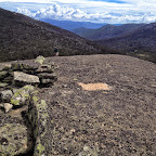  |
| A82 | Concrete cylinder and cairn | 670888.139-6045152.349 | 14-16 Mar 14* | 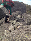  |
| B82 | Concrete cylinder and cairn | 670995.189-6044926.526 | 14-16 Mar 14* |  |
| C82 | Pipe 1″ x 15″ and cairn | 671141.869-6044522.289 | 14-16 Mar 14* |  |
| D82 | Concrete cylinder and cairn | 671152.636-6044295.058 | 14-16 Mar 14* |  |
| E82 | Pipe 1″ x 15″ and cairn | 670775.072-6043944.012 | visited location but not identified 30-31 May 15 14-16 Mar 14 |
– |
| 46 Mile | 1″ Concreted pipe and earth mound | 670774.036-6043937.101 (calculated) |
visited location but not identified 30-31 May 15 14-16 Mar 14 |
– |
| F82 | Pipe 1″ x 15″ and cairn | 670741.196-6043718.147 | 30-31 May 15* |  |
| G82 | Pipe 1″ x 15″ and cairn | 670740.605-6043571.564 | 30-31 May 15* |  |
| H82 | Pipe 1″ x 15″ and cairn | 670762.935-6043540.37 | 30-31 May 15* |  |
| I82 | Concrete cylinder and cairn | 670942.020-6043298.378 | 30-31 May 15* |   |
| J82 | Pipe 1″ x 15″ and cairn | 670989.656-6043165.165 | visited location possible identification 30-31 May 15* |
 |
| K82 | Spike driven in cleft of rock | 671058.778-6042768.465 | 30-31 May 15* |   |
| L82 | Spike in concrete | 671166.874-6042560.100 | 30-31 May 15* |   |
| 47 Mile | 1″ Pipe and Cairn Mile point comes on face of cliff | (calculated) | 30-31 May 15* |  |
| M82 | Spike in concrete in crevass of granite | 671198.938-6042294.042 | 30-31 May 15* |  |
| N82 | 671254.925-6041976.922 | 30-31 May 15* |  |
|
| O82 | Pipe | 671347.553-6041959.045 | 30-31 May 15* |  |
| P82 | Spike | 671564.233-6042006.177 | 30-31 May 15* |  |
| Q82 | Concrete cylinder | 671682.123-6041972.558 | 5 Apr 08* 30-31 May 15* |
  |
| R82 | Concrete cylinder | 671715.571-6041903.680 | 5 Apr 08* 30-31 May 15* |
  |
| S82 | Spike in concrete | 671889.281-6041547.328 | 30-31 May 15* |  |
| T82 | Cement cylinder | 671906.934-6041536.995 | not seen 28 Sep 10 |
|
| U82 | 15″ Pipe | 672003.621-6041435.035 | 30-31 May 15* 28 Sep 10* |
  |
| V82 | 15″ Pipe | 672039.423-6041381.401 | not seen 30-31 May 15 28 Sep 10 |
– |
| 48 Mile | 3″ Concreted Downpipe (bolt) and Cairn | 672040.623-6041377.279 (calculated) |
30-31 May 15* |  |
| W82 | Cement cylinder | 672066.249-6041289.256 | 30-31 May 15 28 Sep 10* |
  |
| X82 | Concrete cylinder | 672074.552-6041228.840 | 30-31 May 15 28 Sep 10* |
  |
| Y82 | 15″ Pipe and Cairn | 672049.772-6041159.210 | 30-31 May 15 28 Sep 10* |
 |
| Z82 | 15″ Pipe and Cairn | 672020.351-6041063.091 | 28 Sep 10* | 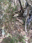 |
| A83 | 15″ Pipe and Cairn | 671974.818-6040959.628 | 30-31 May 15 28 Sep 10* |
 |
| B83 | Spike in cleft of rock | 671929.563-6040809.004 | 30-31 May 15 28 Sep 10* |
  |
| C83 | 15″ Pipe and Cairn | 671958.352-6040705.986 | 30-31 May 15 28 Sep 10* |
  |
| D83 | 671970.754-6040636.625 | 30-31 May 15 28 Sep 10* |
 |
|
| E83 | Pipe and Cairn | 671924.305-6040579.830 | 30-31 May 15 28 Sep 10* |
  |
| F83 | Pipe and Cairn | 671798.724-6040386.104 | 30-31 May 15 28 Sep 10* |
 |
| G83 | Pipe and Cairn | 671766.092-6040283.774 | 28 Sep 10* |  |
| H83 | Pipe and Cairn | 671693.167-6040154.616 | 28 Sep 10* |   |
| I83 | 671606.405-6040097.584 | 30-31 May 15 28 Sep 10* |
 |
|
| I83 blaze | (calculated) | 30-31 May 15 28 Sep 10* |
 |
|
| J83 | 671485.348-6040017.875 | 30-31 May 15 28 Sep 10 12-13 Jul 10* |
 |
|
| 49M | 3″ Concreted Downpipe (bolt) and Cairn | 671468.959-6039998.592 (calculated) |
30-31 May 15 28 Sep 10* |
 |
| K83 | Pipe | 671391.482-6039907.453 | 30-31 May 15 28 Sep 10* 12-13 Jul 10* |
  |
| L83 | Pipe | 671303.087-6039817.601 | 28 Sep 10 12-13 Jul 10* |
 |
| M83 | Pipe | 671280.004-6039697.203 | 28 Sep 10* |   |
| N83 | Pipe | 671272.175-6039542.713 | 28 Sep 10 12-13 Jul 10* |
 |
| O83 | 671308.509-6039316.186 | 12-13 Jul 10* | 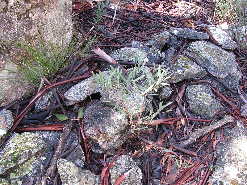 |
|
| P83 | 671286.154-6039126.048 | 12-13 Jul 10* | 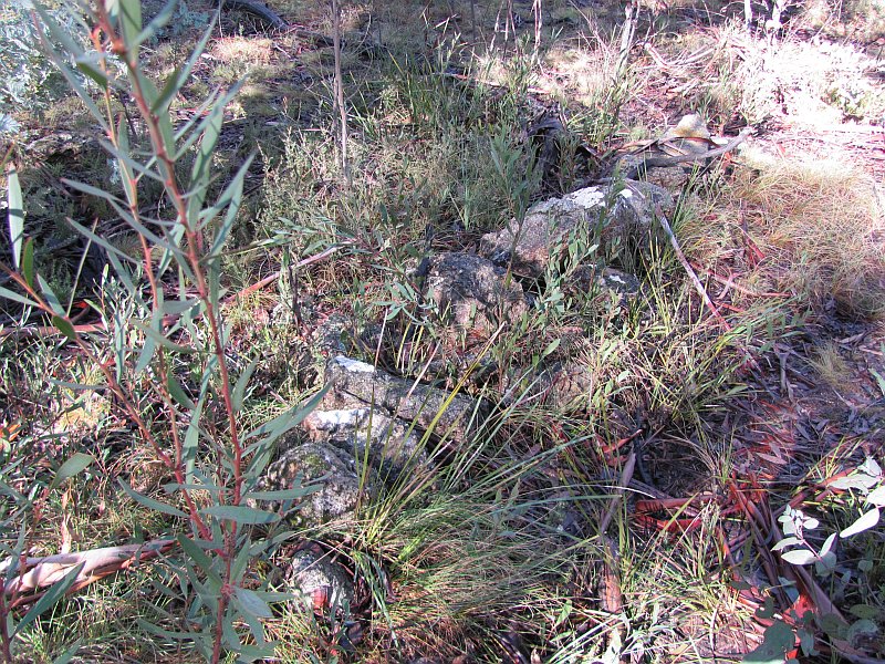 |
|
| Q83 | Pipe | 671252.859-6039054.951 | 12-13 Jul 10* | 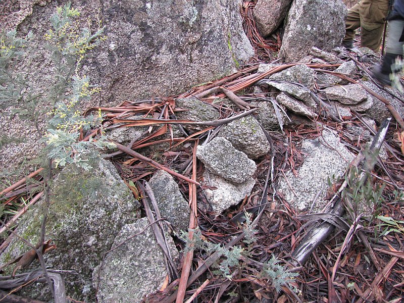 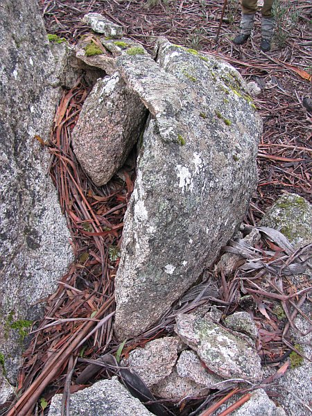 |
| R83 (ACTPLA label this Rb83) |
671321.556-6038874.730 | 14 Sep 10 12-13 Jul 10* |
 |
|
| Ra83 | 671259.413-6038737.819 | 14 Sep 10* |  |
|
| Rb83 (ACTPLA label this R83) |
671309.854-6038596.970 | 14 Sep 10* |  |
|
| 50 Mile | 3″ Concreted Downpipe (bolt) and Cairn | 671292.219-6038504.911 (calculated) |
14 Sep 10* |  |
| S83 | Cement cylinder on boulder | 671282.801-6038455.815 | 14 Sep 10* | 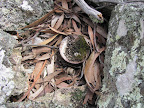  |
| T83 | Pipe | 671264.456-6038278.800 | 14 Sep 10* |  |
| U83 | Spike | 671292.382-6038183.046 | 14 Sep 10* |  |
| V83 | Pipe | 671300.127-6038050.727 | 14 Sep 10* | 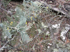 |
| W83 | Pipe | 671361.430-6037857.570 | 14 Sep 10* | 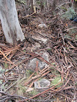 |
| X83 | Pipe | 671375.618-6037714.291 | 14 Sep 10* |  |
| Y83 | Pipe | 671376.472-6037652.984 | 14 Sep 10* | 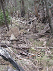 |
| Z83 | Pipe | 671391.715-6037503.302 | 14 Sep 10* |  |
| A84 | Pipe | 671426.165-6037337.545 | 14 Sep 10* |  |
| B84 | Concrete Cylinder | 671431.402-6037293.344 | 14 Sep 10* |   |
| C84 | Pipe | 671494.495-6037165.002 | 14 Sep 10* |  |
| D84 | Cement Cylinder | 671438.456-6037056.270 | 14 Sep 10* |  |
| D84 survey blaze – possible | 14 Sep 10* |  |
||
| 51 Mile | 3″ Concreted Downpipe (bolt) | 14 Sep 10* |  |
|
| E84 | Pipe | 671361.070-6036939.908 | 14 Sep 10* | 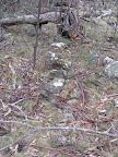 |
| E84 survey blaze | 14 Sep 10* | 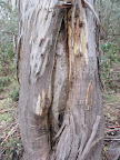 |
||
| F84 | Pipe | 671315.053-6036884.411 | 14 Sep 10* | 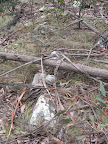 |
| G84 | Concrete Cylinder | 671254.455-6036807.287 | 14 Sep 10* | 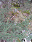  |
| H84 | Pipe | 671194.422-6036741.079 | 14 Sep 10* |  |
| I84 | Pipe | 671066.654-6036656.029 | not seen 14 Sep 10 |
|
| J84 | Pipe | 671070.323-6036541.564 | 14 Sep 10* |   |
| K84 | Concrete Cylinder – station on boulder |
671044.130-6036413.069 | 14 Sep 10* | 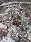 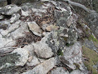 |
| L84 | 670954.668-6036299.218 | not seen 14 Sep 10 |
||
| M84 | Concreted Pipe and Cairn | 670841.252-6036187.038 | 30 Aug 11* |  |
| N84 | Concreted Pipe 1″X15″ and Cairn | 670793.280-6036083.457 | 30 Aug 11* |  |
| O84 | Pipe | 670750.422-6035907.450 | 30 Aug 11* |  |
| P84 | Concrete cylinder – Station on boulder | 670712.996-6035786.870 | 30 Aug 11* |   |
| Q84 | Pipe | 670687.205-6035741.607 | 30 Aug 11* |  |
| 52 Mile | 1″ Pipe and Cairn | 670576.480-6035650.253 (calculated) |
30 Aug 11* | 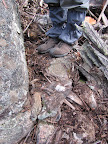 |
| R84 | Pipe | 670529.322-6035611.372 | 30 Aug 11* |  |
| R84 blaze | C’wealth broad arrow CT | 670529.909-6035619.034 (calculated) |
30 Aug 11* possible identification |
 |
| S84 | Pipe | 670483.970-6035538.390 | 30 Aug 11* |  |
| T84 | Pipe | 670458.557-6035475.568 | 30 Aug 11* |  |
| U84 | Pipe | 670523.409-6035392.582 | 30 Aug 11* | 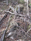 |
| V84 | Pipe | 670552.964-6035345.752 | 30 Aug 11* |  |
| W84 | Pipe | 670669.513-6035249.274 | 30 Aug 11* | 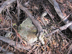 |
| W84 blaze | C’wealth broad arrow CT | 670673.949-6035246.615 (calculated) |
30 Aug 11* |  |
| X84 | Pipe | 670850.780-6035047.715 | 30 Aug 11* | 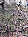 |
| Y84 | Pipe on face | 670918.510-6034924.667 | 30 Aug 11* |  |
| Z84 | 5″ Nail in concrete buried 3″ | 670939.818-6034792.641 | 12 May 12 30 Aug 11* |
 |
| A85 | Pipe | 670971.927-6034739.238 | 12 May 12 30 Aug 11* |
 |
| B85 | Pipe | 671080.220-6034667.362 | 30 Aug 11* |  |
| C85 | Pipe in cleft of rocks | 671190.111-6034622.751 | 12 May 12 30 Aug 11* |
 |
| D85 | – | 671269.598-6034625.536 | 12 May 12 30 Aug 11* |
 |
| E85 | 5″ Nail set in concrete in granite cleft | 671338.529-6034588.379 | 30 Aug 11* |   |
| 53 Mile | Concrete cylinder and cairn | 671350.023-6034521.329 (calculated) |
30 Aug 11* |   |
| F85 | Concrete cylinder | 671398.492-6034238.371 | 30 Aug 11* |   |
| G85 | Concrete cylinder | 671426.298-6033991.346 | 12 May 12 26 Apr 11* |
 |
| H85 | 5″ Nail set in Concrete | 671417.050-6033832.296 | 26 Apr 11 28 Nov 06* 3 July 04 |
 |
| I85 | Pipe | 671606.149-6033698.729 | 26 Apr 11* |  |
| J85 | Concrete Cylinder | 671796.456-6033642.151 | 26 Apr 11* |  |
| K85 traverse (to see Gedgenby trig) in original survey – not on border | ||||
| L85 | Old peg replaced by spike in concrete | 671953.478-6033667.517 | 26 Apr 11* |  |
Border Markers on the Scabby Range SE of Sentry Box Mountain
This part of the Scabby Range is wonderful granite slabs at the top, eventually dropping to a lovely area of dry sclerophyll forest, unburnt in 2003. So there is a number of surviving survey marker blazes. Border markers are covered in the digitised original field book A 1058 – L82 to R85 – FC18 sheet 10 – (PDF 12.4 mb). and A 1059 – R85 to R87 – FC18 sheet 10 – (PDF 13.7 MB):
| Border Marker No | Comment from Survey Notes5 | ACTPLA Location UTM4 55H (MGA) |
Visited – click on a date for a walk report | Click on a thumbnail below to see the full sized Picture |
| M85 | Spike set in concrete | 672186.087-6033449.815 | 26 Apr 11* |  |
| 54 Mile | Concrete cylinder and cairn | 672188.442-6033444.117 (calculated) |
26 Apr 11* |  |
| No N85 in original survey | ||||
| O85 | Concrete Cylinder | 672258.297-6033275.051 | 26 Apr 11* |  |
| P85 | Concrete cylinder Station on Granite Boulder | 672210.700-6033000.009 | 26 Apr 11* |  |
| Q85 | Concrete cylinder Station on bare granite | 672072.188-6032875.400 | 26 Apr 11* |  |
| R85 | Concrete Cylinder | 671954.390-6032864.750 | 26 Apr 11* |  |
| S85 | Pipe and cairn | 671900.912-6032762.129 | 26 Apr 11* |  |
| T85 | Old peg replaced by pipe and cairn | 671892.308-6032650.032 | 26 Apr 11* |  |
| U85 | Old peg replaced by pipe and cairn | 671904.766-6032535.334 | 26 Apr 11* |  |
| V85 | Old peg replaced by concrete cylinder | 671936.354-6032424.073 | 26 Apr 11* |  |
| W85 | Old peg adopted | 671957.246-6032378.847 | 8 Sep 12* | 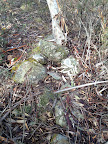 |
| X85 | Old peg replaced by concrete cylinder | 671997.282-6032285.937 | 8 Sep 12* |  |
| Y85 | Old peg replaced by pipe and cairn | 672012.142-6032233.328 | 8 Sep 12 15 Mar 11* |
 |
| Z85 | Old peg replaced by pipe and cairn | 672078.271-6032160.019 | 8 Sep 12 15 Mar 11* |
 |
| A86 | Stn on Sthn. fall of steep grade to summit of hill | 672063.466-6032125.173 | 15 Mar 11* |  |
| 55 Mile | 3″ Downpipe with concrete core Heavily cairned | 672044.038-6032089.277 (calculated) |
15 Mar 11* |  |
| B86 | Old peg adopted | 672031.715-6032066.523 | 15 Mar 11* | 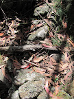 |
| C86 | Old peg adopted | 671975.472-6031973.852 | 15 Mar 11* |  |
| D86 | Old peg adopted | 671952.556-6031844.260 | visited location but not identified 15 Mar 11 |
– |
| D86 blaze | C’wealth broad arrow C.T. | 671947.561-6031848.724 (calculated) |
15 Mar 11* | 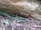 |
| E86 | Old peg found and adopted | 672026.817-6031747.633 | 15 Mar 11* | 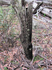 |
| F86 | Old peg replaced by pipe | 672030.901-6031660.929 | visited location but not identified 15 Mar 11 |
– |
| G86 | Old peg replaced by concrete cylinder | 672135.607-6031569.446 | 15 Mar 11* |  |
| H86 | Old peg adopted | 672172.457-6031466.681 | 15 Mar 11* |  |
| I86 | Old peg replaced by pipe | 672168.475-6031424.540 | visited location but not identified 15 Mar 11 |
– |
| I86 blaze | C’wealth broad arrow C.T. | 672173.444-6031420.614 (calculated) |
possible identification 15 Mar 11* |
 |
| J86 | Old peg replaced by pipe | 672246.845-6031343.985 | 15 Mar 11* |   |
| J86 blaze | C’wealth broad arrow C.T. | 672242.352-6031339.807 (calculated) |
possible identification 15 Mar 11* |
 |
| K86 | Old peg replaced by pipe | 672294.893-6031243.893 | 15 Mar 11* | 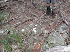 |
| L86 | Old peg at fence angle adopted | 672298.450-6031189.123 | 26 Apr 11 15 Mar 11* |
  |
| L86 blaze | C’wealth broad arrow CT. | 672299.819-6031186.174 (calculated) |
26 Apr 11 15 Mar 11* |
 |
| M86 | Old peg adopted | 672271.254-6031124.884 | visited location but not identified 15 Mar 11 |
– |
| N86 | Old peg adopted | 672296.354-6031019.582 | visited location but not identified 15 Mar 11 |
– |
| N86 blaze | C’wealth broad arrow CT. | 672297.521-6031016.734 (calculated) |
15 Mar 11* |  |
| O86 | Old peg replaced by pipe | 672284.456-6030922.140 | 15 Mar 11* |  |
| P86 | Old peg replaced by Spike in concrete | 672359.003-6030816.666 | 15 Mar 11* |  |
| Q86 | Old peg adopted (on fence line) | 672388.186-6030728.006 | 15 Mar 11* |  |
| 56 Mile | 3″ Concreted Downpipe 2′ long | 672421.976-6030665.741 | 15 Mar 11* |  |
| R86 | Old peg replaced by concrete cylinder | 672422.616-6030664.548 | possible identification 15 Mar 11* |
 |
| S86 | Old peg adopted | 672528.152-6030643.979 | visited location but not identified 15 Mar 11 |
– |
| S86 blaze | C’wealth broad arrow C.T. | 672534.115-6030646.447 | 15 Mar 11* |  |
| T86 | Old peg replaced by pipe | 672592.733-6030536.456 | 15 Mar 11* |  |
| U86 | Old peg adopted | 672622.529-6030493.813 | visited location but not identified 15 Mar 11 |
– |
| U86 blaze | C’wealth broad arrow C.T. | 672629.066-6030493.727 (calculated) |
15 Mar 11* |  |
| V86 | Old peg found | 672647.978-6030469.735 | visited location but not identified 15 Mar 11 |
– |
| W86 | old peg repl. by pipe | 672734.348-6030388.017 | 15 Mar 11* |  |
| X86 | Old peg replaced by pipe | 672893.659-6030371.188 | visited location but not identified 15 Mar 11 |
– |
| Y86 | Old peg repl. by spike in Concrete | 673043.061-6030354.733 | possible identification 15 Mar 11* |
 |
| Z86 | Old peg replaced by pipe | 673163.539-6030293.687 | 15 Mar 11* |  |
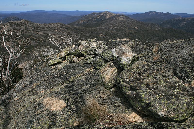
Border Markers on the Boboyan Divide
The Boboyan Divide is a lovely area of dry sclerophyll forest, unburnt in 2003. So there is a number of surviving survey marker blazes. Border markers are covered in the digitised original field book A 1059 – R85 to R87 – FC18 sheet 10 – (PDF 13.7 MB):
| Border Marker No | Comment from Survey Notes5 | ACTPLA Location UTM4 55H (MGA) |
Visited – click on a date for a walk report | Click on a thumbnail below to see the full sized Picture |
| A87 | Old peg replaced by pipe | 673204.991-6030261.818 | 15 Mar 11 | – |
| B87 survey blaze | – | – | 20 Jul 10* furfy, remove this! |
 |
| B87 | Old peg replaced by Concrete Cylinder on huge granite boulder | 673370.714-6030183.096 | 20 Jul 10* |   |
| C87 survey blaze | – | 673416.741-6030018.798 (calculated) |
15 Mar 11 20 Jul 10* |
 |
| C87 | 673405.427-6030013.337 location in the middle of a fire trail |
not seen 15 Mar 11 20 Jul 10 and never will |
– | |
| D87 | Old peg replaced by pipe | 673312.163-6029902.478 | not seen 20 Jul 10 |
|
| E87 | – | 673342.144-6029794.938 | not seen 20 Jul 10 |
|
| 57 Mile | 3″ Downpipe 2′ long sunk flush and heavily cairned | calculated as 673403-6029754 |
not seen 20 Jul 10 |
|
| F87 survey blaze | 230°26′, 33.84lks, [Fed broad arrow] CT | 673426.840-6029731.784 (calculated) |
20 Jul 10* |  |
| F87 | Old peg replaced by pipe | 673432.174-6029736.014 | 20 Jul 10* | 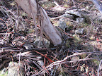 |
| G87 | Pipe | 673556.804-6029610.150 | not seen 20 Jul 10 |
|
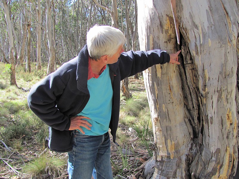
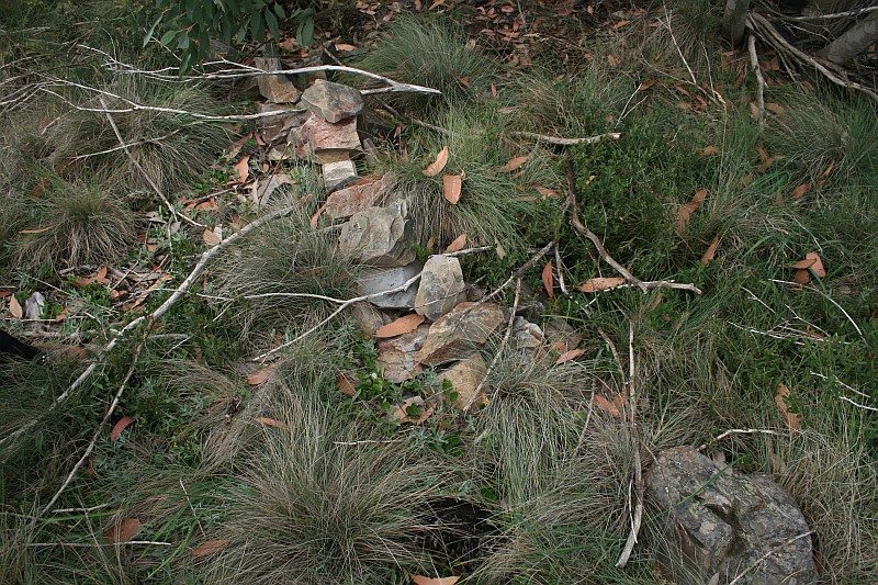
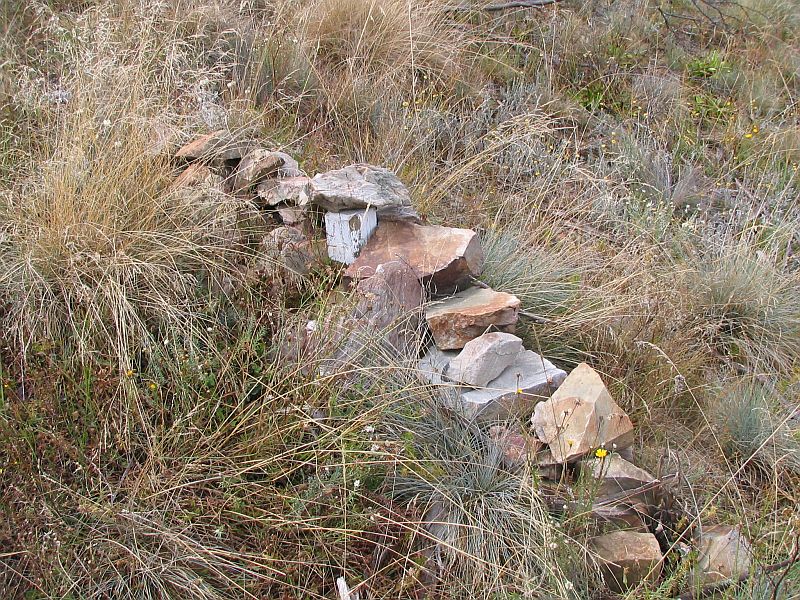
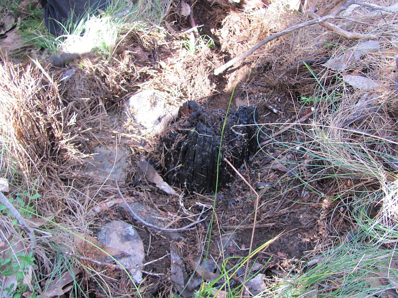
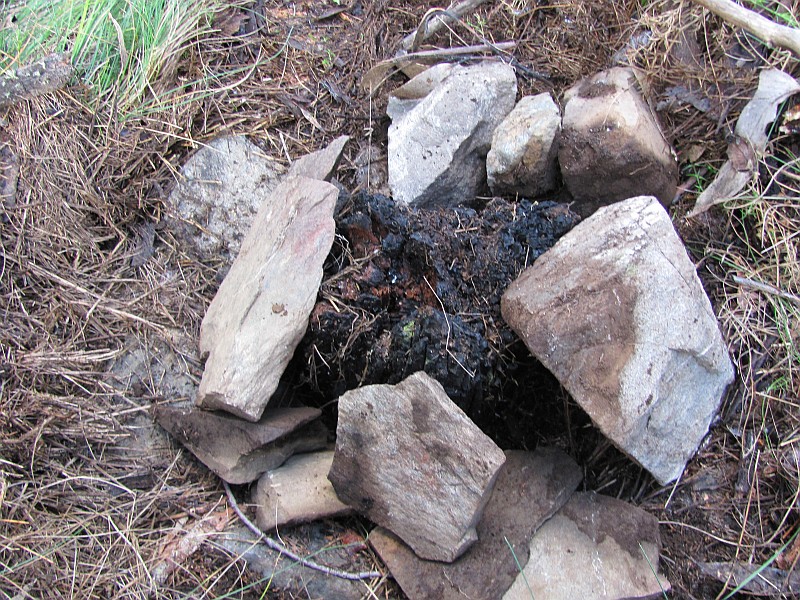
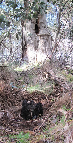
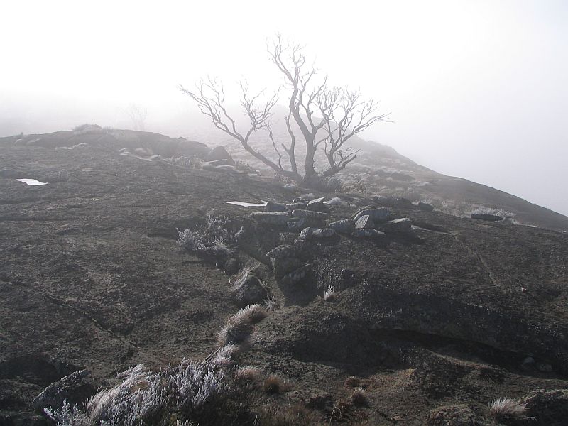
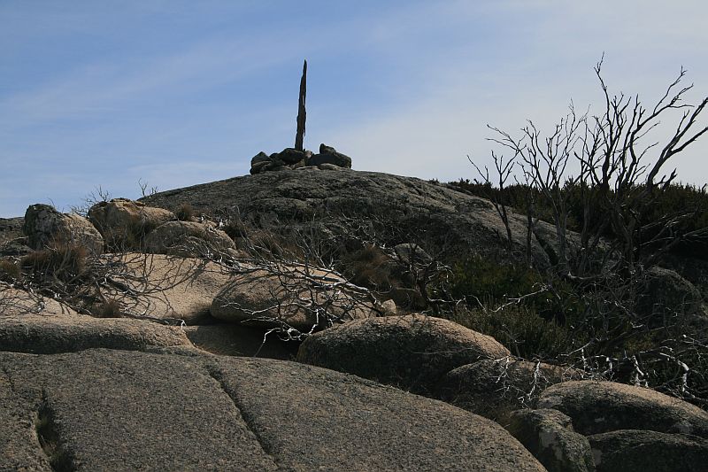
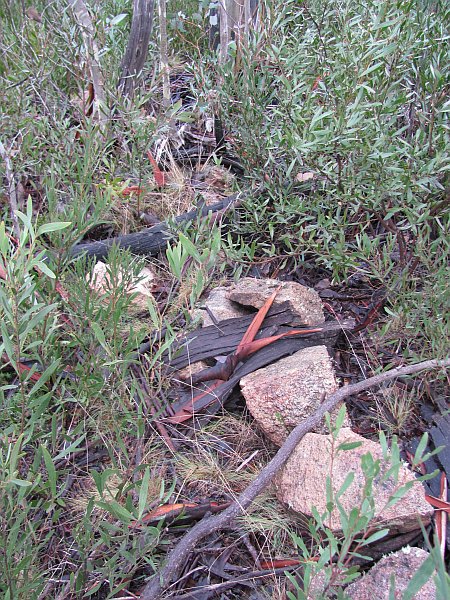
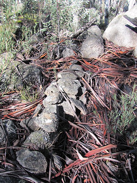
| H87 survey blaze | 46°22′, 38.21lks, [Fed broad arrow] CT | 673685.937-6029551.362 (calculated) New blaze tree after Mouat Tree removed |
14 Mar 26 20 Jul 10* |
 |
| H87 | Old Peg replaced by spike | 673680.268-6029546.171 | 14 Mar 26 20 Jul 10* |
 |
| I87 | Old peg | 673751.354-6029490.512 | not seen 20 Jul 10 |
|
| J87 | Old peg | 673805.277-6029452.307 | not seen 20 Jul 10 |
|
| K87 | Concrete Cylinder on Massive Granite Boulders | 673926.875-6029311.772 | possibly seen 20 Jul 10* |
 |
| L87 survey blaze | 326°48′, 48.41lks, [Fed broad arrow] CT | 673935.585-6029232.054 (calculated) |
20 Jul 10* |  |
| L87 | – | 673940.750-6029223.798 | 20 Jul 10* | 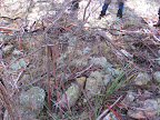 |
| M87 survey blaze | 190°19′, 11.42lks, [Fed broad arrow] CT | 674027.256-6029109.087 (calculated) |
20 Jul 10* |  |
| M87 | – | 674027.713-6029111.338 | 20 Jul 10* | 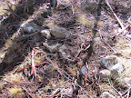 |
| N87 | – | 674067.8326029069.240 | 20 Jul 10* | 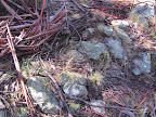 |
| O87 | Pipe | 674157.978-6029000.936 | 20 Jul 10* | 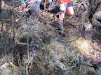 |
| P87 survey blaze | 118°46′, 6.9lks, [Fed broad arrow] CT | – too far – check out calculation |
possibly seen 20 Jul 10* |
 |
| P87 | Pipe | 674277.113-6028956.628 | possibly seen 20 Jul 10* |
 |
| Q87 | Pipe | 674353.767-6028843.144 | not seen 20 Jul 10 |
|
| R87 | End of Traverse Spike set in concrete | 674440.120-6028686.487 | 20 Jul 10* | 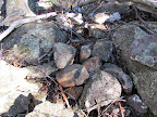 |
Leave a Comment