
Climbing out from the new Spencers Creek bridge
Saturday 4 March 2023: Charlotte Pass to Guthega/Guthega to Charlotte Pass – M/E. A walk on the new-ish Snowies Alpine Walk, stage 2.
Summary
From Garmin Connect (Epix Gen 2) – Distance: 9.90km | Climb: 250m | Descent 442m | Time: 2:34 moving + 1:04 of stops = 3:38 | Grading: M/E; E(5+).
Photographs Photographs are available here.
gpx File The gpx file is available here.
Track Notes
Nearly 4 years since I’ve been to the high country. Last was a snowshoe above today’s route to The Paralyzer on 28 Aug 19.
This walk is a Grade 3 trip and there is further information here.
We met at 6.30am in the Park and Ride large car park near the Eastlake Calwell Club. Well-lit and deserted, so no problem hooking up. 8 of us, with 1 more to join at Jindabyne, so 2 cars drove on.
The Monaro Highway was nearly deserted, except for the large buck roo we were very fortunate to miss.
A coffee at Nimitabell Bakery @ Jindabyne and we picked up our ninth walker. I needed to buy a KNP day pass – $17, card only, no cash. We drove on, one vehicle of 4 turning off Kosciuszko Rd onto Guthega Rd and going to Guthega, and the other with 5 driving on to Charlotte Pass. At Charlotte Pass we found out why the roads were so deserted – everyone was already there! Found a precarious parking spot on the side of the road high above the Charlotte Pass lodges. Nearly 300m added to our walk.
We set off down the Main Range Track. Breathtaking views.

View up Club Lake Creek and the Main Range Track from Charlotte Pass
Around 500m down we took a right.

Our turn off to head to Guthega
Foot traffic thinned, as most were heading down to cross the Snowy River.
We were immediately onto the raised steel walkway. Walking poles not much use on this type of track as the points get stuck in the metal grill. Gaiters not necessary (at least in weather like today) as you’d see a snake miles away.

Raised steel walkway protects the fragile alpine environment
Our pace was leisurely, giving time to appreciate the track-side beauty and more distant views.

Track-side Snow Gum
In places, the track construction changed.

Flag-stone track section
Spectacular views up to the tops over the other side of the Snowy River.

View up Blue Lake Creek
We stopped to view an echidna, covered in ants the lucky thing.

Echidna
Twynam trig was a constant sight for much of the middle of the walk.

View up Crummer Spur to Twynam trig
We had great weather for our leisurely walk. A gentle breeze kept the March flies away.

A leisurely walk
A section of gravel track.

A section of different track surface
Plenty of down for our group.

More glorious walking at the 1680m contour, 11.04am
At around 11.10am we met the up group. A quick chat and we headed off along our ways – huge thanks to the person who said “I know this might be a silly question, but have you swapped car keys?” TL and I sheepishly swapped keys!
Advice from the up group was that the second part of our walk towards Guthega had little shade. To this point, our down group had enjoyed dappled cover. So we found some trees and enjoyed morning tea/brunch.
Around a further 1km on we came to the new bridge over Spencers Creek, advertised as the highest located bridge in Australia,
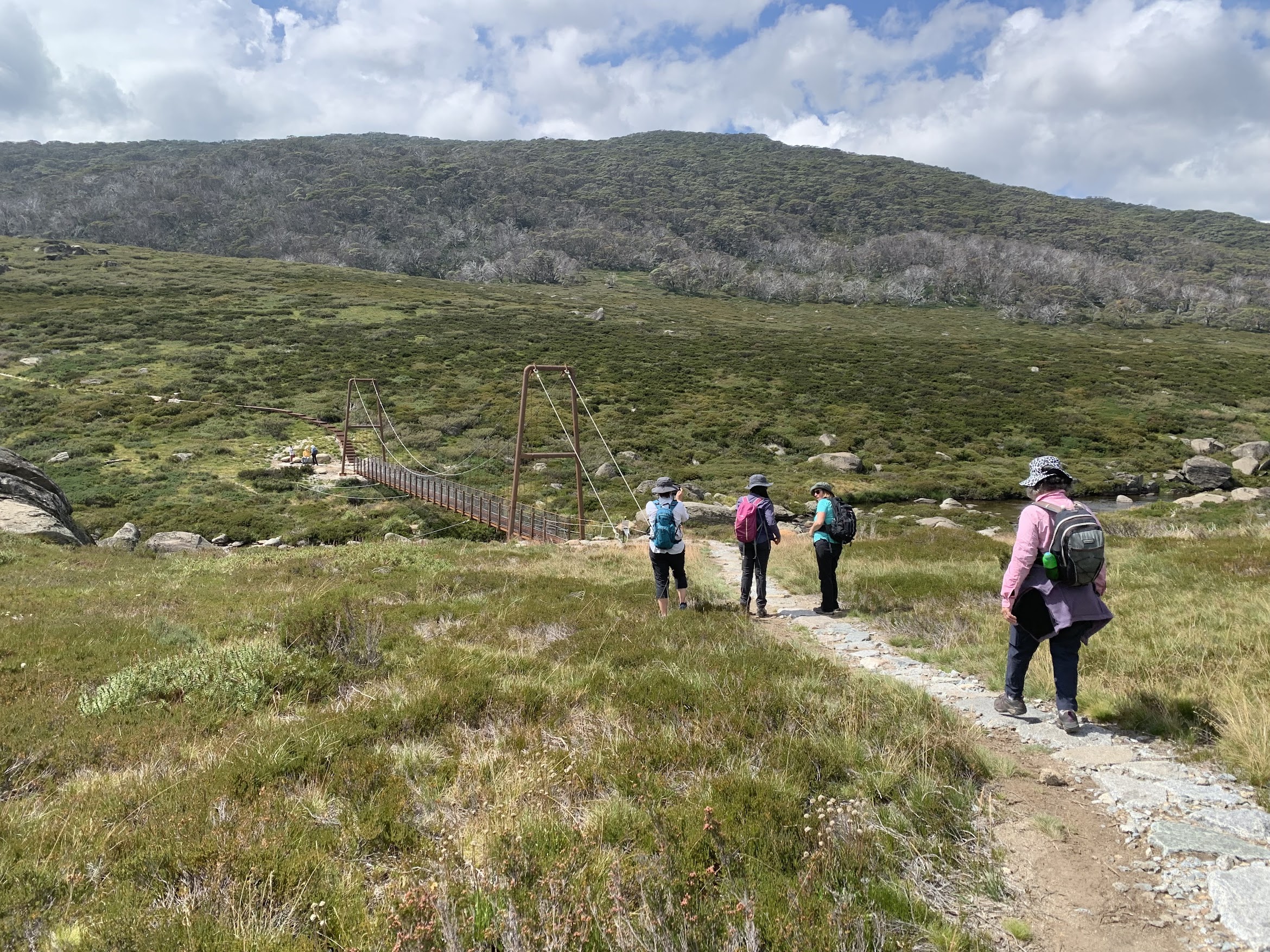
Walking down to the new bridge over Spencers Creek
A beautiful place. Here’s a photo of the bridge and Spencers Creek flowing down to join the Snowy River.

The new Spencers Creek bridge
Within around 500m there’s another bridge, this one over the Snowy River near the private Illawong Hut.

Illawong bridge
The bridge location is misplaced on my 2001 Perisher Valley 1:25000 map, but corrected elsewhere.

Snowy River downstream at Illawong bridge
There’s a little current track work below Illawong Hut, re-routing the track away from near the hut.
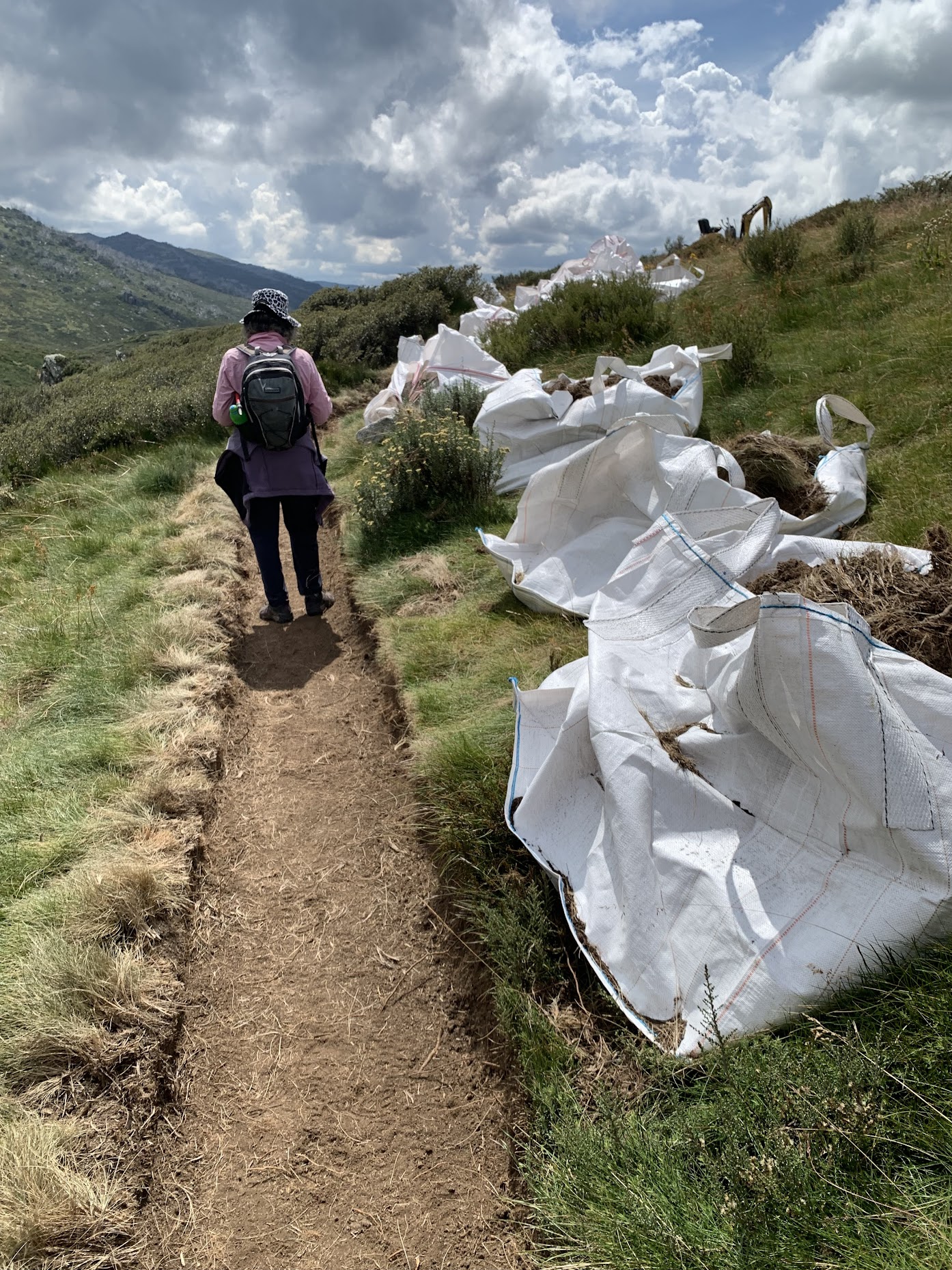
Track work below Illawong Hut
Still a few flowers about.

Mountain gentians
The Illawong Track is a bit older.

On the Illawong Track
Eventually the upper reaches of Guthega Pondage is reached.

Guthega Pondage opens up
The final bridge crosses Farm Creek.

Crossing the Farm Creek bridge
There’s currently a bit of track work near the end at Guthega.
A truly wonderful scenic extravaganza!
Not many cars at Guthega. We popped in TL’s vehicle and drove slowly back to the meet point at the T-intersection of Guthega Rd and Kosciuszko Rd.
Relive the trip
Track Map
Here’s where we went.

Track Snowies Alpine Walk – Charlotte Pass to Guthega
The AllTrails map is here, where you can pan and zoom.
Party
9 walkers – Jennifer B, Lorna C, Teresa H, Deb M, Charity M, Terrylea R (leader), Catherine R, Marie S, me.
Johnny Boy’s Walkabout Blog FaceBook Page
I’ve started up a FaceBook page. Each trip report posts to it. So it’s another way to get some info to get out and breathe a bit of fresh air. Why not pop over and Follow the page, or give a post a Like.