
Coulter pine cone (hand for scale)
Saturday 30 March 2024: Arboreta in Kowen Forest * – L/E-M,ptX. Arboreta in Kowen Forest? Yep, so I’ve been told. Let’s have a look. I’ve recently discovered a great little e-publication on Amazon ‘Kowen: Trails and Tales’ by Peter Komidar. Peter documents 14 routes in the Kowen area that he runs. We’ll walk. POI include different pine species (including Coulter pine with cones weighing up to 5kg), Kown Homestead site, Kowen Forestry Settlement site, The House That Jack Built site, Amungula trig and several ACT-NSW border markers. Around 17km and 500vm climb. I haven’t been to some of the area, so part eXploratory.
Summary
Thanks to Terrylea (and also Andrea) who shared their gpx files with me:
From Garmin Connect (recorded on TL’s Fenix 6S) – Distance: 16.09km | Climb: 420vm (Elev Corrections Disabled) | Time: 5:46 | Grading: M/E-M,ptX; M(9).
They had shared their Garmin activity link with me by email. The only way I could download the gpx file for local storage was to Save to My Courses, then Download GPX File. When examined in OziExplorer, the track points had unfortunately had their time stamps replaced by the download time.
Photographs
View photographs here.
gpx file
Download the gpx file here.
Track Map
Here’s where we went. This is from a ©2003 map.

Track Kowen Forest Arboreta
Trip Report
I was last at Amungula trig and the House That Jack Built on 28 May 13, and the forestry depot area on 10 Jun 08. We did this section of the ACT border on 9 Nov 10.
Huge thanks to Peter Komidar for his book of the area on Amazon. You really ought to spend $4 and get it!
And to local CBC member Jeanette who adjusted our start point in by around 1km.
We met at the corner of Norton Road and Bingley Way Wamboin. As Jeanette had suggested, a safer place would have been at the Wamboin Community Hall. Peter’s book had described the entrance to the area opposite 241 Bingley Way in excellent detail. But with our local member in the lead in her big 4X4 truck, the two city compact SUVs were led nearly 1 kilometre up the starting fire trail. Saved us 2km of uninteresting walking.
Away at around 8.15am through lovely eucalypt woodland on easy walking tracks.

Pleasant eucalypt woodland on our entry and exit
We popped out onto the Wamboin Break via a horse entrance and walked SE down to the next corner to have a quick look for ACT border marker I3, placed by Percy Scheaffe over 120 years ago.

ACT border marker I3
We immediately turned SW down Jacks Break through the pine plantations. We appreciated the shade, particularly as the day warmed up and we walked in the harvested areas.

Looking down Jacks Break
Our first POI was the 1928 eastern arboretum. Here’s a teaser from Peter’s book. Buy it for all the good oil.

‘Kowen Trails and Tales’ by Peter Komidar p18 of 97
A discussion ensued about the different shaped pine needles of the trees, but no monster cones could be found.

In the 1928 Eastern Arboretum
Lovely and cool in the shade on the grass. The old road alignment was obvious.

Old road alignment n the 1928 Eastern Arboretum
Back out on the fire trail bounding the block, the ladies did find some large Coulter pine cones.
Coulter pine cone (hand for scale)
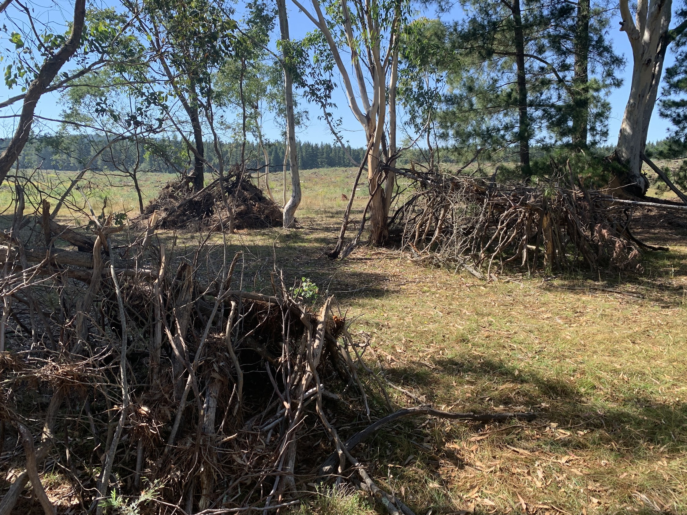
A bit of an indirect route to the western 1928 arboretum as I was chatting, not navigating. Desolate looking across the harvested area.

Bare harvested area
Smoko in the second arboretum plot.

In the 1928 Western Arboretum
Retracing a bit of our route and with the Old Homestead Recreation Area in sight, a poorly chosen shortcut across a blackberry infested creek line. I don’t think I’d been here previously.

Old Homestead Recreation Area
Signage (and Peter’s book) tell its history.

Signage at the Old Homestead Recreation Area
Continuing to the SW, we passed the current forestry depot.

Depot shed and water tower
And onto the old depot area with its deciduous trees and concrete building pads.

Deciduous trees and building pads at the old forestry depot
Back up near the current depot area with all its concrete barriers and track overpass/tunnel, we stopped to chat with a couple of Rally Canberra guys. They were driving around and setting up signs for next Sunday’s event. It will be dusty and noisy – not a place for walking (assume locked out during the rally anyway).
Headed via roads/fire trails generally East and North to The House That Jack Built sites. Hit the northern one.

The House That Jack Built northern site
Some nearby medium density housing, perhaps built by Jack’s grandkids.
Are these the Houses That Jack Built?
Continuing East, the 1955 arboretum could not be mistaken.

1955 arboretum
The creek line below to the N contained remnant eucalypt forest.
Then a climb to Amungula trig and lunch nearby in the shade.

Amungula trig
All that remained was to tromp the Wamboin Break fire trail along the ACT-NSW border back to our entrance point into Kowen Forest. I had the waypoints of markers identified in 2010. A few could not be identified 14 years later. Much continued deterioration.

ACT border marker R3 – left November 2010, right March 2024
There’s a couple more photos of border markers in the photo album.
A reasonable trip, especially if you haven’t been there before. Some interesting POIs. Useful to know the northern entrance from Bingley Way, thanks Peter.
Party
6 walkers – Jeanette B, Andrea C, Lauren R, Terrylea R, Khuong V, me.
AllTrails
The AllTrails map is here, where you can pan and zoom.
Johnny Boy’s Walkabout Blog FaceBook Page
I’ve started up a FaceBook page. Each trip report posts to it. It’s another way to get some info to get out and breathe a bit of fresh air. Why not pop over and Follow the page, or give a post a Like.