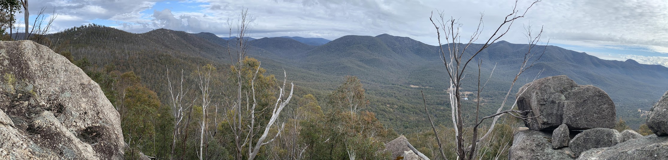
View along the SE rim and to the Tidbinbilla Range
Saturday 3 June 2023: Eastern Rim of Tidbinbilla Nature Reserve * – M-R/R,ptX. Climb to Devils Gap via the Devils Gap Fire Trail. Summit The Pyramid via a 170vm steep climb and visit a great tor nearby. Return to Devils Gap and continue north-east through SH1097 and down to join the Gibraltar Trail. Visit Gibraltar Peak. Return via the Gibraltar Peak via Eliza Saddle Track. Around 12km and 600vm climb.
Summary
From Garmin Connect (MAP66i) – Distance: 14.40km | Climb: 690vm | Time: 3:33 moving + 2:22 of stops = 5:55 | Grading: M/M-R; M(11).
Photographs Photographs are available here.
gpx File The gpx file is available here.
Track Notes
I last did this trip on 24 May 23, a recce. I certainly felt more comfortable having done the recce, but there were new things to see and learn today.
10 of us left from opposite my old folks’ home at 8am. We met another at Dalsetta car park, who had driven south round the loop through the Cotter from north Canberra.
25 minutes for the 2km from Dalsetta to the bottom of the Devils Gap Fire Trail. Another 1.9km up the Devils Gap Fire Trail in 30 minutes.
The route up the hill was pretty much the same as last Wednesday week, but it seemed a little more open. Familiarity?

Climbing ‘The Pyramid’ (SH1172) at 1110m contour
The 670m across the ground, climbing from 1000m at Devils Gap to 1172m at the Spot Height, then a bit W and down to the tor, took 37 minutes.
Love that T-shirt.

Heading west from the top to the lookout tor
Great views.
10.15am, so morning tea was called to give us more time to appreciate the view.

Smoko at the tor, views to Fishing Gap and Mt Domain
Returned down to join the little 1.4km Devils Gap Loop. We did a lap. At a prominent corner, Richard mentioned that there was a route from that spot up towards the top, used by rock climbers. Perhaps the cairns I waypointed on the recce are on that route.
Back at Devils Gap and a swig of water later, we set off up to the NE.
A note on how I plan trips. I use 2003 versions of local 1:25000 digital maps, made available via an old NSW Mapping Authority product named TopoView2006. I like it because the product includes a seamless mosaic of all NSW maps that can be panned and zoomed in OziExplorer. But, of course, there are more recent maps available via SIX e-topo. In the ACT region, these maps are 2017 version.
So I came back from the recce and looked at the track on the 2017 8627-2S Tidbinbilla 1:25000 topographic map. There was a nearby fire trail shown, not on the 2003 version. I wanted to have a look and, indeed, we found it.

Track detail Eastern Rim of TNR on SIX e-topo dated 2017
Used it for a couple of hundred metres.

Found an old fire trail
Pleasant going through the shallow saddle.

Pleasant going leaving a shallow saddle just SW of SH1097
The next item of interest (to me) was a bit of netting fence on the ground.
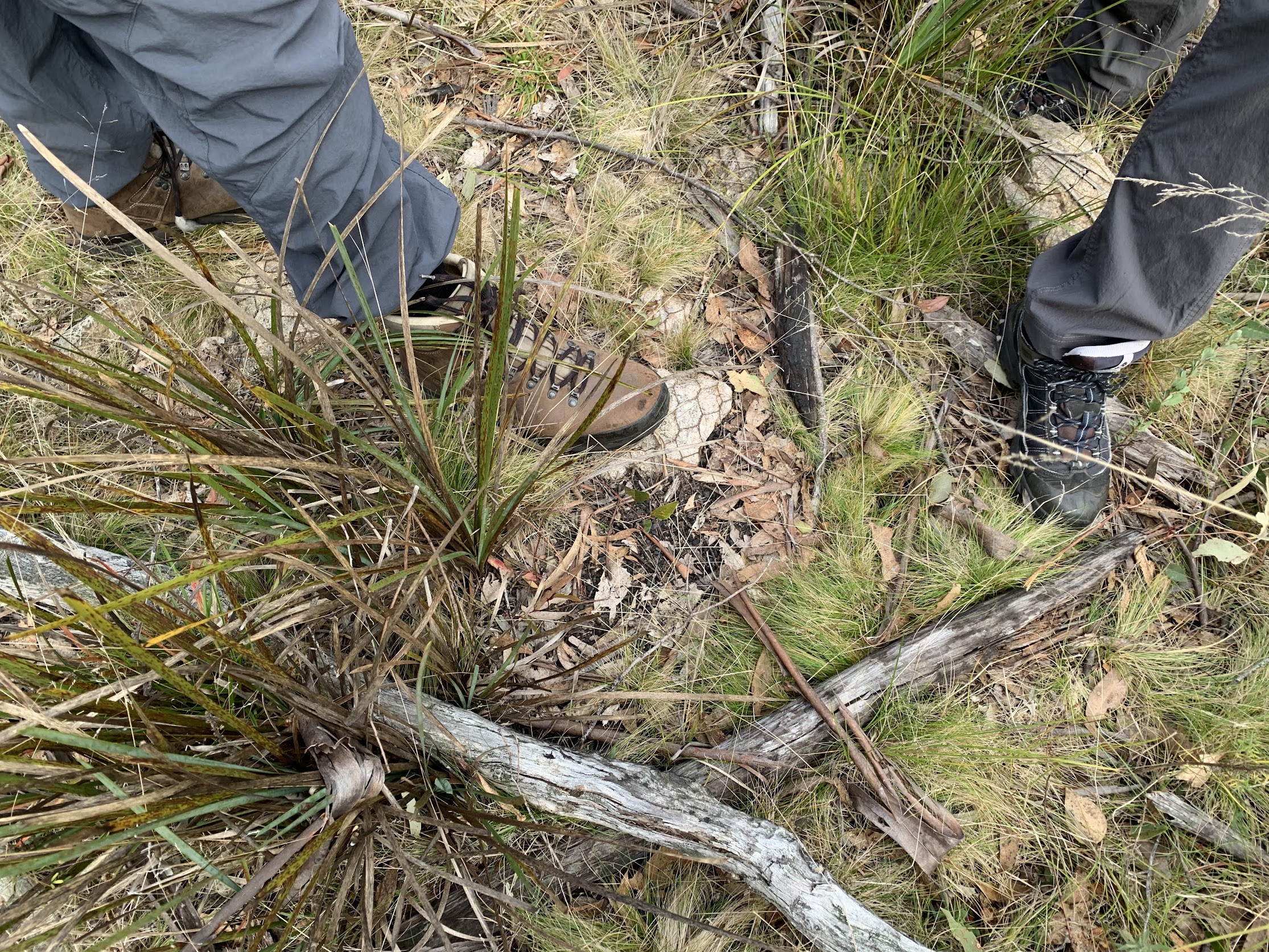
Old netting fence on the crest
On the crest and no doubt defining the boundary of a holding. But imagine putting in such a fence line and posts in the shallow and somewhat rocky soil by hand.
On the recce we went pretty much straight through SH1097, so I tried round to the south and east this time. Not a good decision, the east facing flank being a bit damper and vegetated with bracken fern.
Back on track we continued NE to join the Gibraltar Fire Trail.
A few drops of showers as we headed up the fire trail and continued up the walking track to Gibraltar Peak. We went to the top for views.

View SE from Gibraltar Peak to the hills above Corin Rd
Richard had a great suggestion to lunch under a huge chockstone a little way back down the track and off to the right. A rock climbers’ route down to it. That kept the showers off us.
The showers stopped and we popped back to the main track, down a bit and onto the usual viewing spot.

Overlooking TNR from the granite slab
A small patch of burning off gave us some smoke smell. As we suspected, it was a cultural burn. Thanks to Peter, see comment below, here’s some detail:
Nothing left but to toddle down the Gibraltar Rocks Walking Track, stopping briefly at the lookout and at Eliza Saddle. Happy that we didn’t have to conclude with the road bash.
Nice trip. Nearly as many guests as members. Great party. Thanks for your company folks.
Relive the trip
Track Map
Here’s where we went.

Track Eastern Rim of TNR on TopoView2006 mosaic dated 2003
The AllTrails map is here, where you can pan and zoom.
Party
11 walkers – Matthew F, Bjorn G, Julian H, Stephen J, Richard M, Chloe P, Josh P, Alice Q, Lynn R, Michael Z, me.
Johnny Boy’s Walkabout Blog FaceBook Page
I’ve started up a FaceBook page. Each trip report posts to it. So it’s another way to get some info to get out and breathe a bit of fresh air. Why not pop over and Follow the page, or give a post a Like.
Beat Oppikofer
4 June , 2023 9:30 amyesterday i was tree planting on top of a Hill in Conder, we could see into Namadgi & Tidbinbilla mountains, it was looking very dark in those mountains, at lunch time the rain arrived at our hill, coming from the Namadgi & Tidbinbilla mountains, how was like the real weather being in those mountain area, yesterday morning?
Johnny Boy
4 June , 2023 9:43 amYuma Beat. I saw your post on the tree planting on the A.C.T Hikers Facebook page. Looks like fun and a great environmental result. As the trip reports details, it showered a bit at lunchtime and we took shelter in an open ‘cave’ with huge chock stone above to keep the rain off. But it stopped and we continued back to the cars dry. Yarra. john
Peter Kent
5 June , 2023 12:07 pmHello John,
As always, we love reading your posts. Just letting you know that the ‘small patch of burning off’ that you noticed from Gibraltar Peak was part of the Ngunnawal led Cultural Burning program being undertaken at Birrigai Outdoor School. If you go to Birrigai’s Facebook page you will see a post relating to the burn – so you can see what it looked like on the ground.
Just thought that you, and your readers might be interested.
Peter Kent – Birrigai Principal.
Johnny Boy
5 June , 2023 12:18 pmYuma Peter. Many thanks for the heads-up. I’ve embedded your post in the trip report, I hope you don’t mind. Yarra. john