
Lower ‘Mavis Ridge’ from Rendezvous Creek vehicle track
Saturday 18 February 2024: Dick and Lena’s Rendezvous Creek Ramble – M/M. This is a re-run of a John Evans walk from 2 years. We start our walk at Rendezvous Creek car park beside the Boboyan Road. Following the track and crossing the bridge out onto the grasslands. We follow an old vehicle track which runs parallel to Rendezvous Creek, enroute up the valley floor we will pass some historical sites and enjoy some great views along the way.
Summary
From Garmin Connect (MAP66i) – Distance: 14.08km | Climb: 225vm (Elev Corrections Enabled) | Time: 3:31 moving + 1:18 of stops = 4:49 | Grading: M/M; M(8).
Photographs
View photographs here.
gpx file
Download the gpx file here.
Track Map
Here’s where we went.

Track Rendezvous Creek – rock art site not shown
Track Notes
I was last here on 19 Feb 22. So were Dick and Lena.
An early start to finish before the predicted heat and thunderstorms. Walking from the Rendezvous Creek car park by 7.15am. We took the southern track of the RCW and crossed the creek.

Walkers on bridge 1
Dick took us on the full tour, first diverting to visit Paddy Moore’s Hut site.

Paddy Moore’s Hut site
We paused at the large bench and table, then struck off to the SW to join the Rendezvous Creek vehicle track. A large group of campers up on a nearby high point.
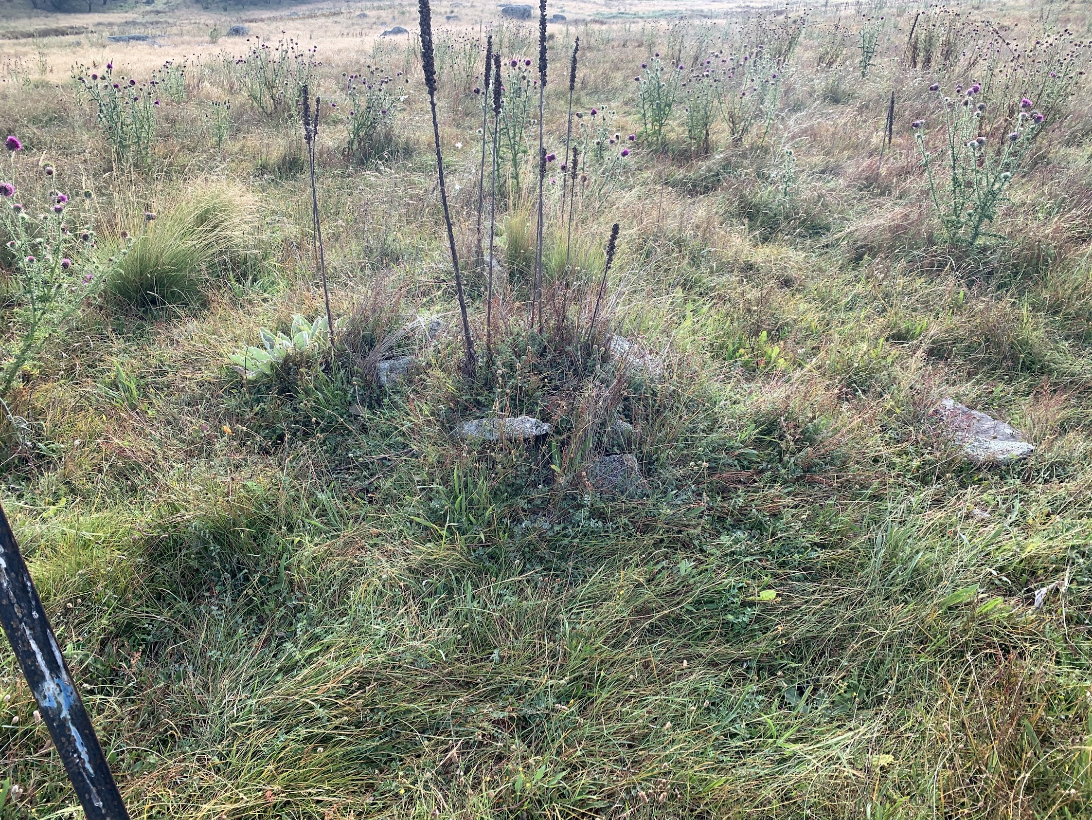
A very pleasant stroll, with views to Yankee Hat North and the lower part of the Mavis Ridge opening up. We could see the SODAR in the distance to the SW. Another detour leaving the track, across a soggy bit of Pheasant Creek, to visit T Brayshaw or J Greenfields Hut site. Not as thistly as last time.
T Brayshaw or J Greenfields Hut site
West to rejoin the vehicle track and a stop at the airstrip site.

Tyre 2 on old landing ground
And the other one.

Tyre 1 on old landing ground
Our next stop, after 4.7km at 8:40am, was smoko at Rowleys Rendezvous Creek Hut site.

Rowleys Rendezvous Creek Hut site
We continued NW up the valley to the Rendezvous Creek indigenous rock art site.
Let me give you a little background:
- some months ago I was (rightly) caned by the Namadgi National Park Manager for posting locations and photos of Namadgi indigenous rock art sites (they have since been removed from this blog)
- seeing the ‘welcoming’ text on the new signs (see below), I checked with him as to current policy
- it is – “In short, no we haven’t changed our policy regarding visiting rock art sites. We are comfortable for the public to visit them but much prefer the locations aren’t revealed to reduce the likelihood of vandalism.”
- so the published track map and gpx file above have been doctored to exclude the track near the site
- photos of nearby signs below have had location metadata removed
- someone on the trip asked me how – in Windows 11, for each photo do Properties, Details tab, Remove Properties and Personal Information link, Remove the following properties from this file: radio button, scroll down to GPS, tick Latitude and Longitude check boxes (leave Altitude if you want to tantalise people), OK, OK
- no photos of the rock art are published on this blog.
We first came across a sign which was there 2 years ago, I think.

Rendezvous Creek rock art ‘new sign’ – location data removed
Then another sign.

Rendezvous Creek rock art ‘newer sign’ – location data removed
The rock art site has been cleaned up. The wall of wattle there previously has been removed. We spent some time cautiously admiring the paintings.
We exited via the visitors book (which had recent entries), but did not add an entry.

Rendezvous Creek rock art visitors book – location data removed
Great views to the NE ridge of the valley.

Tors on the true left ridge of Rendezvous Creek
There was some discussion as to whether the prominent tor was Orca Rock. This snip of the waypoints from a visit there on 12 Apr 2017 shows that it might very well be.

Snip of Orca Rock waypoints
Our ramble took us SE down the valley to Rowleys Rendezvous Creek stockyard.

Rowleys Rendezvous Creek stockyard
It was only 10.30am but the day was already hot and the shade of the Robinia grove was welcome.

Robinia grove at Rowleys Rendezvous Creek stockyard
All that remained was the 4.9km ramble in 1:08 back to the cars. We used the other leg of the Rendezvous Creek walk.

Dick our leader at bridge 2
Great ramble. Great party, including a 13 year old who has recently done Hannels Spur! Thanks Dick and Lena.
Party
10 walkers – Michael C, Andrea C, Dick M (leader), Lena O, Lucas O, Mark P, Rosanna R, Khuong V, Robert W, me.
AllTrails
The AllTrails map is here, where you can pan and zoom.
Johnny Boy’s Walkabout Blog FaceBook Page
I’ve started up a FaceBook page. Each trip report posts to it. It’s another way to get some info to get out and breathe a bit of fresh air. Why not pop over and Follow the page, or give a post a Like.
david
19 February , 2024 4:59 pmInteresting that a 13 year old hiked Hannels Spur. 23 Ks and 1950 VM. How long did he take?
I have estimated Geehi Flats to Muellers pass [ 13KS ] would take about 5 hours, M.P. to Mt. Kosi [ 2.7 KS ] about 1 hour and Mt Kosi to Crackenback Chair [ 6KS ] and then Thredbo Village [ 1 K ] 2 hours. I await your comment.
Cheers,
D.J.
Johnny Boy
19 February , 2024 5:33 pmHello David. I didn’t quiz him and his mother in detail. They camped at Wilkinsons Creek after the major climb and bagged Kosci the next day. Their trip was the Australia Day weekend. I was green with envy – Hannels Spur was on my to do list, now I’m too old and sick. Cheers. john