
Paddling the Shoalhaven River | photo Mike Bremers
Monday-Tuesday 13-14 May: Tallowa Dam Paddle. 2 days, 1 night paddling narrow pointy boats up the Shoalhaven River gorge from Tallowa Dam. Leader: Mike B. Transport: Own boat and car.
Further Information
I’d called in here on 10 Feb 19 with the Awaken Church lads, returning from paddling on the creeks behind the Shoalhaven Coast. It looked good, so I asked a very experienced paddler, Mike B, to put on a trip. He did!
Summary
Distance: 27.3km | Time: 2 days including travel. 2 half days of paddling | Grading: M – paddle
Photographs
Photographs are available, where you can start a large sized slideshow.
Videos
Waypoint and Track Files
Download the gpx file for this trip (if your browser does not automatically download the file, it will open the gpx file in a new window and you can then save it). To use in Google Earth, do File, Open… and select Gps or All files as the File Type.
Track Notes
3 of us met in Woden, leaving around 7am to drive through the fog until past Goulburn. A stop for a pie and coffee and to buy lunch in Kangaroo Valley, where we met the other 2, then the final 20km to Tallowa Dam.

Arriving at Tallowa Dam
Packed our boats and launched at 11am.
It was a warm and sunny Winter’s day, with a little breeze to paddle into. All new territory for me. The other 4 in the party (flotilla?) were very experienced paddlers.
We paddled west, under the Pauls Lookout area and into the Shoalhaven River arm of Lake Yarrunga.

Paddling by Pauls Lookout
Within around 3km the river turned to the SW and we entered the Shoalhaven Gorge.

Double Terrace Point

Paddling into the Shoalhaven Gorge
What an excellent place! Stunning cliffs and features on either side; vegetation right down to the water’s edge.

Paddling by the base of Hoddles Cliff

Monarch Bluff

80+m cliffs between Hoddles Cliff and Kain Head
Words don’t do the place justice – have a look through the photos.
After around 7km of paddling, we pulled in for lunch.

Approaching our lunch stop

Lunch stop
Away again.

Lush riverside vegetation

Bullan Buttress

Paddling towards Wirritin Point with its 135m cliffs

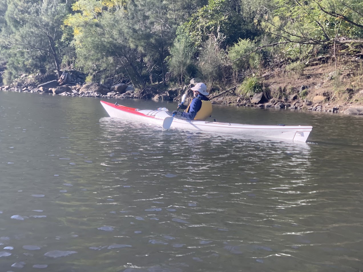
Paddling towards Projection Point

Mike
We paddled a further 6.5km to the bottom of some shallow rapids about 1km from Fossickers Flat.

Rapids mark out turnabout point
This was our about turn point and we paddled back 500m to our camp site.

Campsite
Set up tents, a soup, collect firewood (we all picked up clinging weed seeds to a greater or lesser extent), tea and a chat round the flames. I was the first to pike at 7.30pm
A mild night, toasty warm in the extra sleeping gear I brought. Mike roamed the night at various times taking some magnificent time-lapse photos.
Up around 7am and it took a while for the sun to get down to us.

First sun on Burnt Shell Point opposite our campsite
We had breakfast, packed up and were on the water by 8.40am. Less breeze than yesterday and we were paddling with it. The plan was to paddle back to Tallowa Dam, then perhaps examine other options.
Max

Returning down river

Returning down river

Returning down river
The 13km trip took 2hrs 55mins, including a break.

Tallowa Dam in sight
Instead of dropping off our gear and paddling into Bundanoon Creek, we decided to drive and have a look at Fitzroy Falls (which I don’t think I’ve seen). So we packed up and had a quick look at the dam.

Tallowa Dam
Drove out and up the hill to find the Fitzroy Falls cafe closed. As food was more important than the view, we drove on to Moss Vale, had lunch and headed home.
Lessons – (1) I asked Mike for some paddling expertise, strength and grace – he said paddle for 20 years; (2) I need to become a tarp camper, not a dirt camper.
What a fabulous trip! Thanks Mike for organising it and the great weather and to everyone else for bearing with an amateur.
Track Maps

Track overview

Track 1

Track 2
Party
5 paddlers – Kevin, Max, Mike (leader), Ros, me.