
Inside the crack of Boulder, Rock Shelter W-G OR10
Saturday 18 May: Rendezvous Creek Walking Track and Orroral Valley Loop – M/E-M. A couple of geocaches near the Rendezvous Creek Walking Track and a recce of the next Canberra Bushwalking Club’s come-and-try-it walk on Saturday 15 June.
Further Information
My dear wife was not well this morning, so we missed a regular lunch date with good friends. After ensuring she could cope without me, I headed out. Missed the choice of 2 great Canberra Bushwalking Club walks too.
Summary
Distance: 10.6km | Climb: 250m | Time: 11.15am – 2.30pm (3hrs 15mins), including driving between walks | Grading: M/E-M; E(7)
Photographs
Photographs are available, where you can start a large sized slideshow.
Waypoint and Track Files
Download the gpx file for this trip (if your browser does not automatically download the file, it will open the gpx file in a new window and you can then save it). To use in Google Earth, do File, Open… and select Gps or All files as the File Type.
Track Notes
Walk 1 – Rendezvous Creek Walking Track 3.2km, 60vm
Called in at the Tharwa General Store to grab a dog’s eye and martin horse for lunch.
Working hard to polish off all the traditional geocaches in Namadgi National Park. There’s a great series here called The Stuff of Nightmares and I’d missed one, plus the final puzzle.

Rendezvous Creek Walking Track
A lovely loop on a 20°C Autumn’s day to find and log geocache GC82WH4 The Stuff of Nightmares #07 Slime!. Now with all the clues in hand for the final, I calculated the location and picked up GC82WJ7 The Stuff of Nightmares #08 Final Nightmare. But I’ve doctored the track to hide its final location.
Drove to Orroral Valley.
Walk 2 – Orroral Valley recce 7.6km, 190vm
I did a recce for the first two hard CBC walks I led, on 22 Oct 05 and 19 Aug 06. Since then, if I grade a walk to include X for eXploratory, I haven’t done a recce. However, the Canberra Bushwalking Club’s come-and-try-it walk on Saturday 15 June is a bit different. I’d hate to look like a pillock (for the Club’s sake) if I got lost!
Lots of cars in the carpark, most people probably up the Granite Tors Walking Track.
Interesting to start a walk out in the bush on concrete footpaths and sealed road, but that’s about all that is left at the Tracking Station site. Headed north to the Minitrack and Space Cameras sites.

Laser site signage at Orroral Valley
Then NW above Orroral River to hit the Link Track. Down over the bridge.

Orroral River bridge
The indigenous boulder site is fun, with a large but narrow crack in the centre. Great for kids to explore whilst still respecting the place.
Continued NW up the valley, paralleling the river through light timber.

The Belfry on the ‘Orroral Ridge of Stone’
Sometimes on an old track, sometimes not, sometimes on animal pads. Dropped down to check out an intermediate distance crossing point.

Could cross Orroral River here wet to ankle
Then continued to opposite Rowleys Orroral Hut site. Crossed the river here with a jump. Up to the hut site and a further bit to the stockyard site.
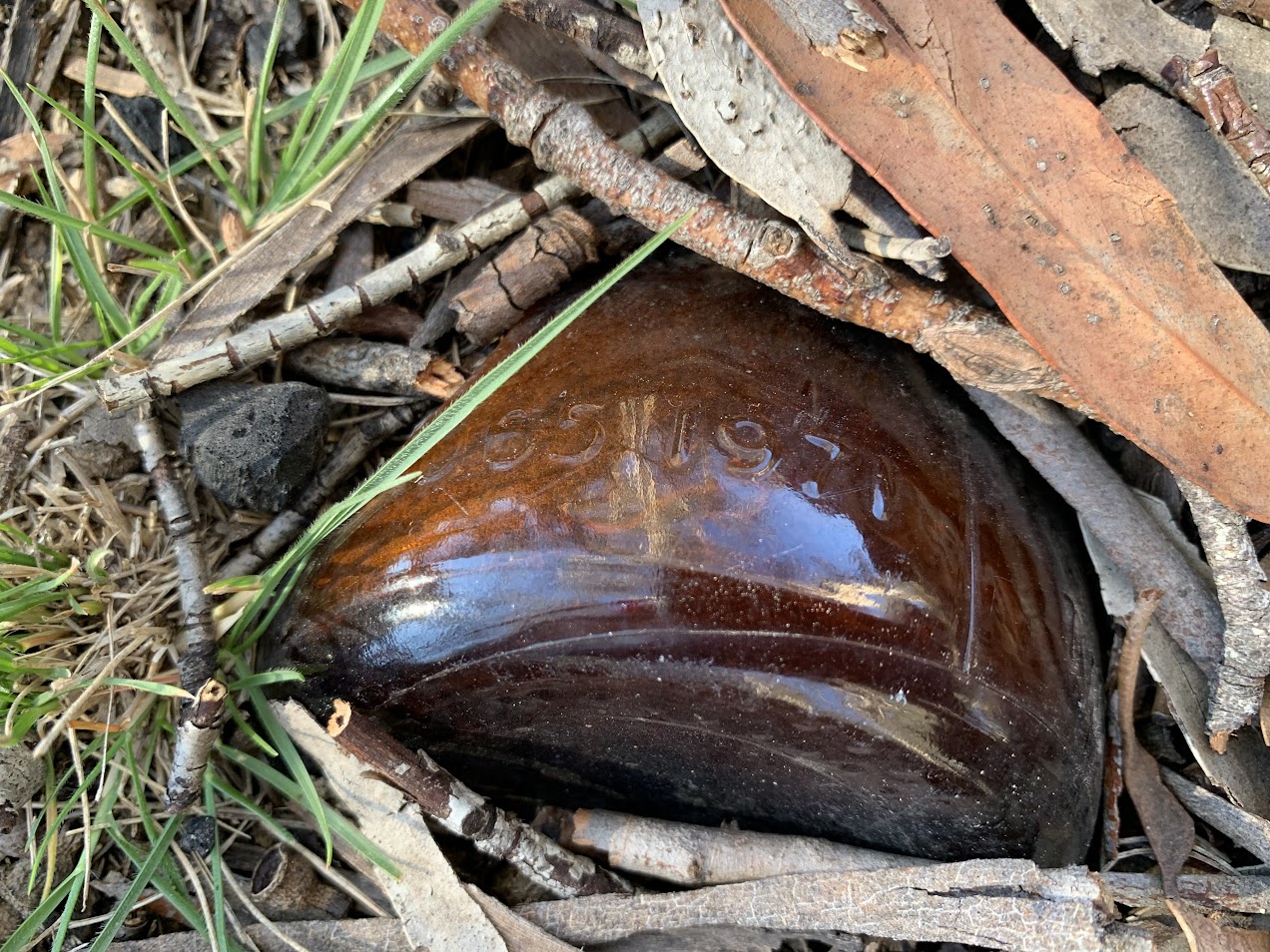
1971 bottle at W-G OR13 Stockyard site
Returned to the AAWT and headed SE to cross the boardwalk over James Creek.

Boardwalk over James Creek
An easy to walk mown path crossing the Link Track and so back to the carpark.
Plenty of options for come-and-try-it participants, including:
- the circuit as described above
- to the boulder and return via the Link Track and SE footpad or Cotter Hut Rd
- Cross Orroral River at the waypoint ‘Could cross here wet to ankle’
And if more is wanted, down the Orroral Heritage Walk to Orroral Homestead, or drive back along Orroral Road for a shorter walk in.
Good reader, if you think this might be fun on a cold Winter’s day on 15 June, check out Canberra Bushwalking Club’s come-and-try-it walk on Saturday 15 June.
Track Maps

Track W1 Rendezvous Creek

Track W2 Orroral Valley
Party
1 walker – Just me.