
Wind-blown icicles on the Gingera Ridge
Saturday 1 July 2023: Snowshoe the Gingera Ridge – L/M ! If there is snow and if Corin Dam is drivable via 2WD.
Summary
From Garmin Connect (Epix Gen 2) – Distance: 20.92km | Climb: 1200vm | Time: 6:26 moving + 2:26 of stops = 8:52 | Grading: L/M-H; H(14).
Photographs Photographs are available here.
gpx File The gpx file is available here.
Track Notes
I last snowshoed the Gingera Ridge on 18 July 2019.
I learned a few things today, the most important being the value of friendship. Huge thanks to Rob McL for the loan of his snowshoes at Mt Gingera after mine busted.
My gear, in addition to the usual kit, included a long shell, a down jacket, an emergency Escape Bivvy, a power bank and a head torch. I forgot a beanie, but my buff was fine to keep heat in. And, of course, I didn’t check my snowshoes. My dear wife was watching my inReach tracking, generated from my Garmin MAP66i handheld.

10 minute inReach tracking
Walking at 7.17am.
Nothing to report as the climb passed the first level.

Climbing to Stockyard Spur just after the anthill
Made the helipad at 8.30am, the 2.5km and 540vm climb done in 1hr 13mins. I’m getting old and slow.

Stockyard Spur helipad
The snow cover gradually increased.

Hatted track guardians just after the dip, at 1500m
Quite a few footprints on the track, which was quite slippery on the uphill bits. I got my poles out heading up to SH1615. in addition, it was bitterly cold with quite a wind blowing. This was the coldest part of the trip.
A quick look at very little at the ‘Stockyard Spur Grandstand’, so named by Graeme Barrow.

Not much of a view from ‘Stockyard Spur Grandstand’
Reached the Mt Franklin Road at 10am. The 4.4km leg from the helipad to Mt Franklin Road took 1hr 30mins.
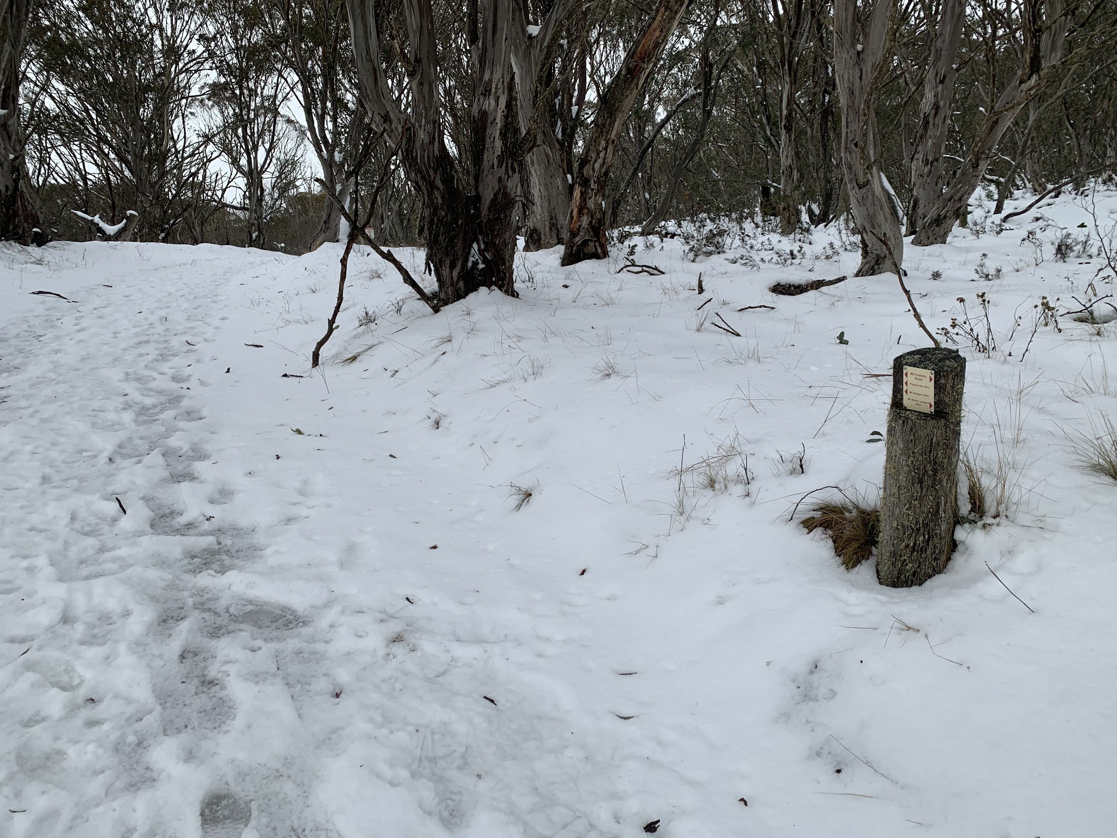
Junction of Stockyard Spur track and Mt Franklin Road
1km in 14mins to Pryors Hut.

Pryors Hut
By now I’d been passed by a couple of trail runners, one of whom seemed to be doing laps. And a couple of walkers passed me too.
1.3km in 20mins to the turn off to Mt Gingera.

Mt Gingera track leaves Mt Franklin Road
A 1.2km climb up to Mt Gingera in 46mins. I was starting to slow up and the occasional foot went in to below the knee, but I still thought I could move quicker without snowshoes.
I was expecting to run into Rob at some stage, as his vehicle was down at Corin Dam. Indeed I did, along with some of his mates at Mt Gingera. I popped up behind them for smoko.

Smoko views at Mt Gingera
Between sips of coffee and bites of home made ‘gluggy bun’, I got my snowshoes out. The perished rubber bindings broke. I was looking at a return the way I came.
Rob popped up to chat and offered me his brand new Tubbs shoes. He was the only one in his party with shoes, so was happy to return down to Corin Dam without them. That is huge generosity! So easy to fit – pop your boot in and twist a dial that tightens very thin wires which draw the bindings in.
I set off NW along the ridge at 11.40am. Magical!

Heading NW along the Gingera Ridge
The wind had dropped, the snow was untrodden by others and it was lovely and quiet except for the crunch in the snow.
The best area was around half way along the ridge.

Halfway along the Gingera Ridge
The ridge leg was 1,4km in 40mins.
Arriving at the nose at SH1847, I headed down towards Pryors Hut. Grand views to Snowy Flats.

Snowy Flats are indeed snowy
1.2km in 35mins to descend to the Mt Franklin Road and Pryors Hut. Called in to have a quick coffee from my thermos and a sandwich for lunch, sitting on the front step.
The return from Pryors Hut to Corin Dam was 7.8km in 3hrs 5mins. I took Rob’s shoes off well before the snow began to thin, so as not to damage them.
Snapped my favourite tree.

Person eating tree
A few people going up as I went down. There would be 6 or so camping at Pryors Hut tonight and another 6 near Mt Gingera.
I was pretty wacked by the time I got to the car. Will I do it again – maybe. The ridge is a wonderful area in the snow.
Relive the trip
Track Map
Here’s where I went.

Track Mt Gingera Ridge Snowshoe
The AllTrails map is here, where you can pan and zoom.
Party
1 walker – just moi.
Johnny Boy’s Walkabout Blog FaceBook Page
I’ve started up a FaceBook page. Each trip report posts to it. So it’s another way to get some info to get out and breathe a bit of fresh air. Why not pop over and Follow the page, or give a post a Like.
Barrie Ridgway
2 July , 2023 11:14 amHi John, A great post, super photos. A great day out!
Was Corin Dam road OK for conventional cars?
I am so envious. For two reasons. 1) I have been dubious of going there in in winter in a conventional Corolla and 2) I have been unable to walk for 3 months + now. firstly I tore a calf muscle which took 2 months to heal and then out in the bush I had just boiled water for morning tea and poured the boiling water down my ankle. The latter was 6 weeks ago and the burn hasn’t completely healed, so I can’t wear shoes or boots. How I would love to done this walk of yours in the snow on my own as you did it. Wonderful. How lucky you were. Solo walking has its risks, but also wonderful rewards.
Johnny Boy
2 July , 2023 11:20 amHi Barrie. Yes, Corin Rd was suitable for 2WD. Actually, the minimum temperature forecast (for Canberra) was a mild 3degC, which made for normal driving. Of course, altitude gain, snow and wind lowered the temperature on the trip. Hope your issues heal quickly and you can get back out there. Cheers. john