
View E through SE from the Mt Tennent track at 910m
Saturday 18 August: Tennent Ridge and Bushfold Flats – L/E-M. An easy-paced ascent to the Tennent ridge T-intersection, continuing along the AAWT down to Bushfold Flats. At this northern end of the Flats there is the opportunity to visit 1884, 1902 and 1957 European hut sites. We then walk N along the diminishing footpad, through a little light scrub to geocache GC7KE9R Bushfold Boundary and the foundations of the 1910 Dunns Hut. We return the same way. Around 15km and 700m climb. Map: Williamsdale. Leader: John Evans 0417 436 877 john@johnevans.id.au . Limit: 12. Transport: ∼$3 per person. Book by 2pm Thursday 16 August.
Summary
Distance: 19.0km | Climb: 750m | Time: 7.50am – 2.30pm (5hrs 40mins), including 40 mins of breaks | Grading: L/E; M(11)
Photographs
Photographs are available, where you can start a large sized slideshow.
Waypoint and Track Files
Download the gpx file for this trip (if your browser does not automatically download the file, it will open the gpx file in a new window and you can then save it). To use in Google Earth, do File, Open… and select Gps or All files as the File Type.
Track Notes
The weather forecast was not so good for walkers (but at least the good chance of showers for the thirsty land) and the possibility of snow showers to 1100m. In the end we probably enjoyed equal amounts of blue sky and showers, with snow flurries seen falling on the nearby hills.
An appropriate outing for two visitors and six CBC members, with the main objective for me being geocache GC7KE9R Bushfold Boundary.
We left the outer car park (always wise to park here, in case you are delayed beyond closing time) and walked through the NVC woodland walk via the Mouat Tree display. Well worth a visit if you haven’t stopped before, as is the ‘Gudgenby in a Box’ reconstruction. We walked out passed the newly installed scar tree.
As advertised, an easy-paced ascent, with regroups at Cypress Pines Lookout and at the T-intersection at the crest. 1hr 40mins for the 4.7km climb. From here, we turned right and followed the Australian Alps Walking Track alignment down to Bushfold Flats. It was a coats on/off walk. There are bush walking fables that if one party member puts a coat on, it will keep the rain away, and that one should not talk negatively about the weather. But the weather will do what the weather will do.
Here, we turned north, but Russell and Muriel Read’s 1957 N Bushfold Flats Hut site (pile of corrugated iron) provided a spot to pause for morning tea. Sorry, fellow walkers, that I can’t remember the details – check out the above link.
From here, it was north, via Martin McMahons post 1902 hut site N Bushfold Flats Hut. Again, have a look via the link. The old vehicle track deteriorated into a footpad, but still easy even for me to follow.
I was looking for a fence line and we crossed it to pause and for me to find and log geocache GC7KE9R Bushfold Boundary.
A mere 350m north along an animal track through very light scrub, we arrived at Dunns’ hut c1910 site at Dunns Flat.

Dunne’s Hut site c1910
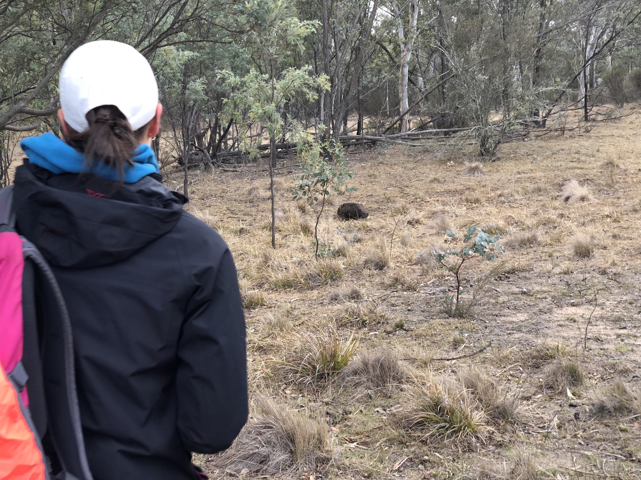
We turned about through 180º and walked south. Keen eyed Pete called our attention to a pair of wombats – mum drew our attention in one direction whilst baby scurried for cover in another.
We walked past N Bushfold Shearing shed site – Read’s 1 stand shed then a couple of hundred metres south then west to Duncan McKeahnie’s 1884 Hut site.

Duncan McKeahnie’s 1884 Hut site
An interstate mate is planning a 6-day Namadgi walk next month and was concerned about water availability. They are walking through Bushfold Flats and wanted to know about nearby water. So we popped down to Blue Gum Creek to check it out. Plenty of water – it rises in tussock bogs with some sphagnum (we’ve walked its length). Pete also had ideas about water at Lutons and Waterhole Hut for my mate.

Blue Gum Creek at the ford near the northern end of Bushfold Flats
All over bar the shouting. We about turned and returned. A stop for lunch at the T-intersection on the crest then, as is life at my age, all down hill (but immensely enjoyable).
Having been previously caned for social media connection whilst walking, I enjoyed a private time (once over the crest and with signal) bagging my wet cycling mates from church in town, and watching videos of my US granddaughter as captain of her junior life guard camp (proud Gramps).
Views as we descended the Mt Tennent track.
View E through SE from the Mt Tennent track at 910m
Thanks friends, both new and old. Carpe diem.
Track Map

Track
Party
8 walkers – Megan C, Pete H, Richard H, Stewart J, Fleur P, Sarah S, VT, me.