
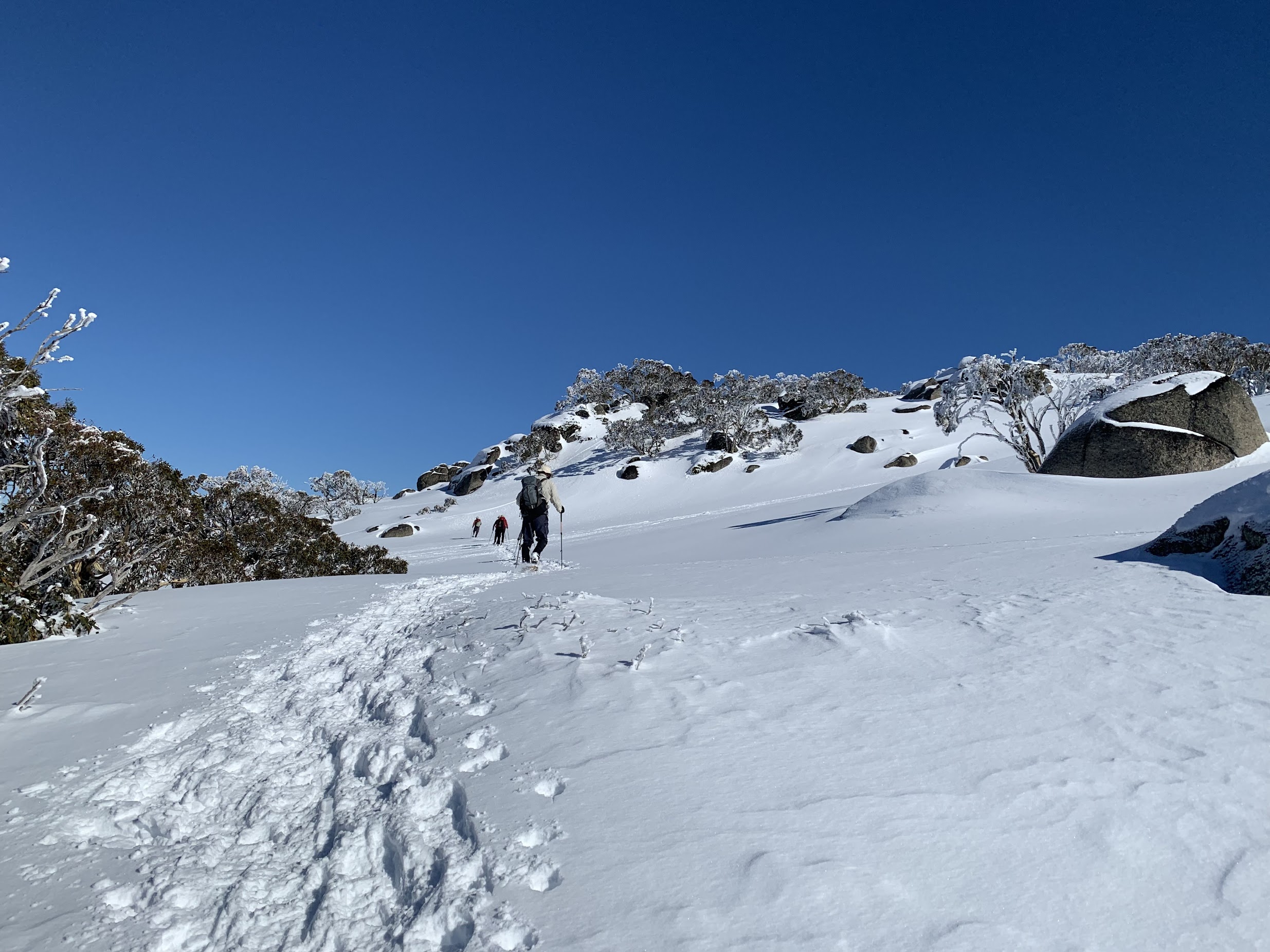
Descending from the 2040m knoll | photo Mike Bremers
Wednesday 14 August: South Rams Head Range Snowshoe – M/R. A circuit from Dead Horse Gap including South Rams Head and the 2040+m and 2080+m knolls to the north-east. Leader: Max S.
Further Information
South Rams Head has been on my bucket list ever since seeing it on 12-13 Mar 19.
Summary
Distance: 10.3km | Climb: 650m | Time: 9.20am – 3.00pm (5hrs 40mins), including 45 mins of breaks | Grading: M/M; M(10)
Photographs
Photographs are available, where you can start a large sized slideshow.
Video
Waypoint and Track Files
Download the gpx file for this trip (if your browser does not automatically download the file, it will open the gpx file in a new window and you can then save it). To use in Google Earth, do File, Open… and select Gps or All files as the File Type.
Track Notes
We drove via Cooma, a wee break in Berridale, through Thredbo to Dead Horse Gap. What were we greeted by but a feral horse, no doubt attracted by the road-clearing salt.

Greeted by a feral horse at Dead Horse Gap
Snow shoes on (I can never work out which is right and which is left, or are they symmetrical?) and we were off.

Climbing at 1780m
An unrelenting climb, but easier than with no snow.
Still climbing at 1880m
Great views back down behind us.

View back down the Thredbo River – Cascade Trail from 1880m
And captivating views beside us.

Snow ladened trees east of South Rams Head at 1880m
At last the climb eased.

Approaching South Rams Head at 1890m
Closer to the crest, the wind formed rime on the trees.

Rime on the trees on the crest of the Rams Head Range
A short (inelegant in snowshoes) scramble to the top for cloud obliterated views to the south and west – maybe I will have to come back. The 2.5km and 360vm climb took 1hr 20mins.

South Rams Head with no view to the south
After morning tea we headed NE to the 2040+m knoll. More wind and snow sculptures.

On the crest between South Rams Head and the 2040m knoll
This knoll is higher and has a grander marker than the map-marked South Rams Head.

The marker on the 2040m knoll
A little circuitous exit.

Exiting NE from the 2040m knoll at 2020m
The 1.8km leg along the southern Rams Head Range, from the 2040+m knoll to the 2080+m knoll provided gorgeous open views.

Lunch was taken beside this tallest objective.

Lunch beside the 2080m knoll
Another slightly difficult descent, although some made it harder than others. Spot the walker in amongst the boulders.

An interesting descent off the 2080m knoll for some
Here’s another view of the 2080+m knoll.

Looking back to the 2080m knoll
Our next leg was down and to the east, with the breeze which had picked up a bit blowing the snow.

Descending to cross Bogong Creek
We crossed the top of Bogong Creek (somewhere down under the snow) and hit the Dead Horse Gap Track alignment right at the old chair lift chair. Plenty of signs of others about.

Joining the Dead Horse Gap Track
Beautiful colours in the Snow Gums as we descended the spur.

Snow Gum beside the Dead Horse Gap Track
We continued on down the track alignment, noticing that the western cloud was lazily rolling over the crest we had snowshoed.

A little cloud rolling in over the southern Rams Head Range
Finally down to cross the bridge over Bogong Creek

Bridge over Bogong Creek
A lovely view back up the creek.

Bogong Creek
Shoes off, we plodded a few hundred metres back up the road to the cars.
A fantastic day, thanks Max and all.
Track Map
Track

Google Earth snip

Party
7 walkers – Peter A-S, Mike B, Stephen M, Margaret P, Brian S, Max S (leader), me.