
Hiking on the Bullen Range
Tuesday 12 March 2024: Bullen Range – M/R. A walk around the Bullen Range Reserve on the west side. Walking will be mainly on track with some intervals of light scrub combined with some fairly short sections of dense scrub. The object is to find a few of the more difficult geocaches located in this area. Great views of the Tidbinbilla Tracking Station from a different angle to that usually visited.
Summary
From Garmin Connect (recorded on MAP66i) – Distance: 10.19km | Climb: 410vm (Elev Corrections Enabled) | Time: 2:52 moving +1:53 of stops = 4:45 | Grading: M/R; M(9).
Photographs
View photographs here.
gpx file
Download the gpx file here.
Track Map
Here’s where we went. This is a ©2017 map; you can see that at the top of the map legend.

Track Bullen Range Geocaching
Trip Report
I enjoyed this hike very much. Why? I logged no geocaches (they were hard puzzles that Marmaduke Rothschild had solved). The Bullen Range Fire Trail has some significant ups in it and I don’t do ups well these days. But for me it was a tib,min (thumb in b@#, mind in neutral) trip. Just so nice to tag along talking sometimes.
We parked opposite the gate on the verge of Discovery Drive just before the complex. Set off at 8.30am, squeezed through the posts at the gate and set off up along the Communications Complex fence, no doubt recorded on CCTV. 4 deer at about the first big bend in the fire trail.
An off-track climb through open woodland going. As for most of the Bullen Range I’ve walked, very dry and small rocky underfoot. We joined the Bullen Range Fire Trail and wandered along the crest.

The Bullen Range Fire Trail has a few ups and downs
I found the first cache, only because Roger was otherwise occupied behind a tree, he’d done the hard puzzle solving and the D in the D/T was no doubt 1. My contribution to the day.
Another foray into the bush had us all looking. Nothing found, except a multi-trunked tree.

At least 7 trunks on this tree
So smoko was called.
The next looking spot had Roger up a tree. No joy.
The final location involved an 80vm plunge down the eastern side of the range, through the more ‘dense scrub’ our leader had described. Cache easily found by MR but …
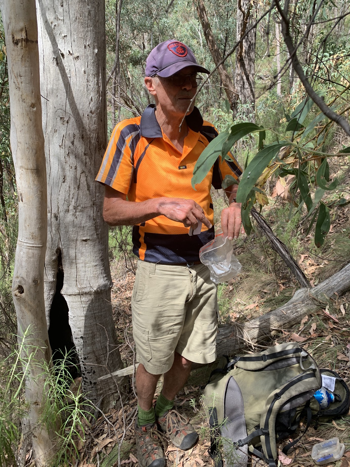
Glum look when he realised he’d previously found it
We toiled back up out of the gully to a fire trail. It was warming up to the day’s forecast 33°C, so lunch was called and the pin pulled. A stroll back down, just clocking up 10km without having to walk 5 times round the car.
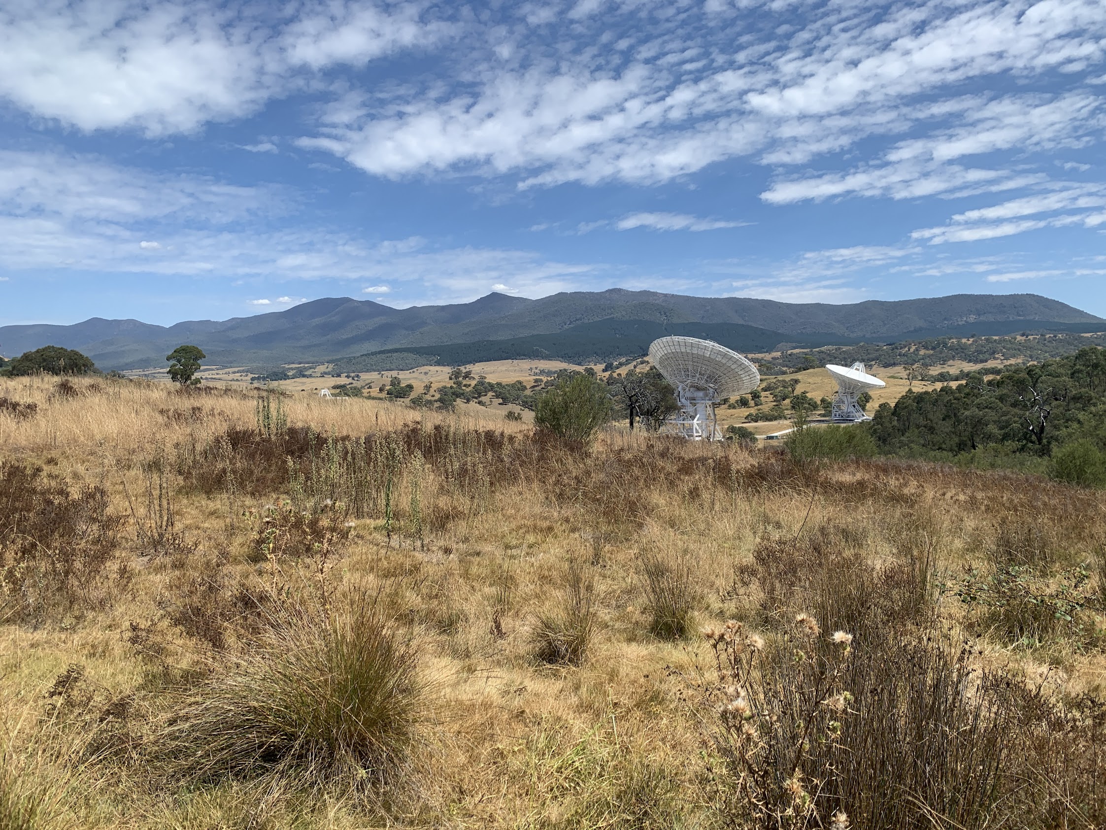
Tidbinbilla Range over the Canberra Deep Space Tracking Station
Note that the ladies (who walked me into the ground) are part of a team representing CBC in this coming Friday’s 30km Wild Women on Top, Coastrek Canberra fundraiser for the Heart Foundation. Go girls!
Party
4 walkers – Cynthia B, Roger E (leader), Jannette S, me.
AllTrails
The AllTrails map is here, where you can pan and zoom.
Johnny Boy’s Walkabout Blog FaceBook Page
I’ve started up a FaceBook page. Each trip report posts to it. It’s another way to get some info to get out and breathe a bit of fresh air. Why not pop over and Follow the page, or give a post a Like.