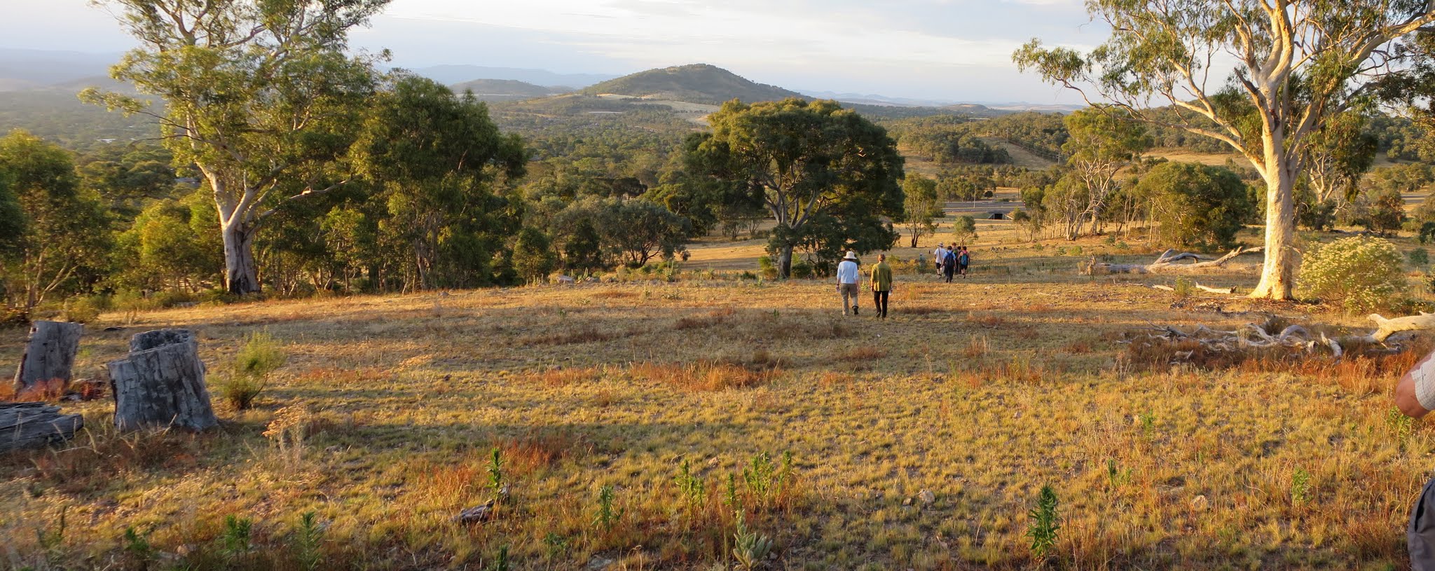
Enjoying an evening stroll in Farrer Ridge and Wanniassa Hills Nature Reserves
Monday pm 11 January: Farrer Ridge and Wanniassa Hills – S/E
We will stroll along Farrer Ridge then on to Wanniassa Hills. Return via a different route. Meet at 6:30 on Sulwood Drive, Wanniassa, between Sainsbury Street and Gaunson Crescent. Map: Tuggeranong. Leader: Phillip S. Transport: drive yourself, no need to book.
14 of us met.
Further Information
I’d enjoyed a little morning walkabout on Tuggeranong Hill, clocking up a few km and logging a few geocaches. A goal is to log 1000 caches by the end of the year but, more importantly, to train to walk the Cbr100Challenge 100km route, raising funds for Beryl Womens Shelter. Like to support me? See here for how!
Summary
Distance: 7.7km | Climb: 340m | Time: 6.30-8.30pm (2hrs) | Grading: S/E; E(7)
Photographs
Photographs are available, where you can start a large sized slide show.
Waypoint and Track Files
Download the .gpx file. (Right click, Save Link As…, Save – if you want to use it.)
To use in Google Earth, do File, Open… and select Gps or All files as the File Type.
Track Notes
The Canberra Bushwalking Club has a large and varied walks program. You can find the public access version at https://canberrabushwalkingclub.org/ci/activity and visitors are welcome to ‘try before you buy’ by joining up to three walks (of course, select a walk suitable to your current walking ability and contact the walk leader to discuss options). The walks program is refreshed regularly.
A feature of the walks program during daylight savings months is after work walks, usually on Mondays and Thursdays, starting at 6 or 6.30pm. The walks are usually in the various Nature Reserves which form the Canberra Nature Park.
They are perfect for time poor walkers or those looking for a little company and exercise whilst transitioning between work and home.
This walk began in the Farrer Ridge NR from the side of Sulwood Drive. Phillip kindly allowed me to skip ahead and log geocache GC250NP Tuggeranong Suburbs – WANNIASSA. We then headed to Farrer Hill. I’d remembered that there was a multi-legged geocache involving the signs on the Farrer Hill Trail, so I photographed each one as we passed. Cheating – of course, a little – but it’s so much easier to sort out the numbers and plug them in lat/lon formulae whilst sitting at home under the aircon 🙂 .
A circuitous route over the hill and under Yamba Drive into the next NR. Up the track to Mt Wanniassa, then down and up to another little knoll (Phillip was ensuring we were exercised). Down to go under Erindale Drive.
Fortunately for me, another loop which got us back on the Farrer Hill Trail. So, although we didn’t walk all the Trail, we walked past all the signage that I needed (so just a walk back somewhere into the area to log the cache at its final GZ).
Back to the cars as the day turned into night.
A great walk, thank you Phillip.
Track Map
Track

Party
14 walkers.