
South end of stone boundary fence
This walk starts at Antill Street following a foot pad in an easterly direction towards the Centenary Trail. After reaching the Centenary Trail we will turn right and follow it to the summit of Mt Majura. After catching our breath over morning tea we will walk off track through open forest down the northern flank until we reach the southern end of a dry stone wall about 300 metres in length. After a short walk from the northern end of the wall we re-join the Centenary Trail and head back to our cars. Total distance is about 7 km. Total climb is about 370 metres. We will be home in time for lunch.
Summary
Distance: 6.6km | Climb: 300m | Time: 2hrs 30mins including 10mins of stops |
Grading: S/E-M; E(7).
Photographs
Photographs are available here.
gpx File
The gpx file is available
here.
Track Notes
I was last here on
23 Feb 16, checking out the Cbr100 route.
Today we walked up Clancy’s Track, starting from the Antill Street entrance around 100m south of the Antill St, Aspinall St, Ian Nicol St roundabout. Pleasant enough going up past the Yards site (is that what they were?) and ‘the great wall of Watson’ (as christened by Tim the Yowie Man some years ago).

Yards site and ‘the great wall of Watson’ beside Clancy’s Track
South on the fire trail that runs along the west side of Mt Majura, then up the main track.
I certainly needed a stop on the way up.

Climbing the main track to Mt Majura
Passed the nice gully that can provide a more direct route up.

Dry waterfall on the main track to Mt Majura
We regrouped at the next track junction. Quite a few other walkers, dog walkers and track runners about.
Up the final management track and we were at the top.

The last part of the main track to Mt Majura
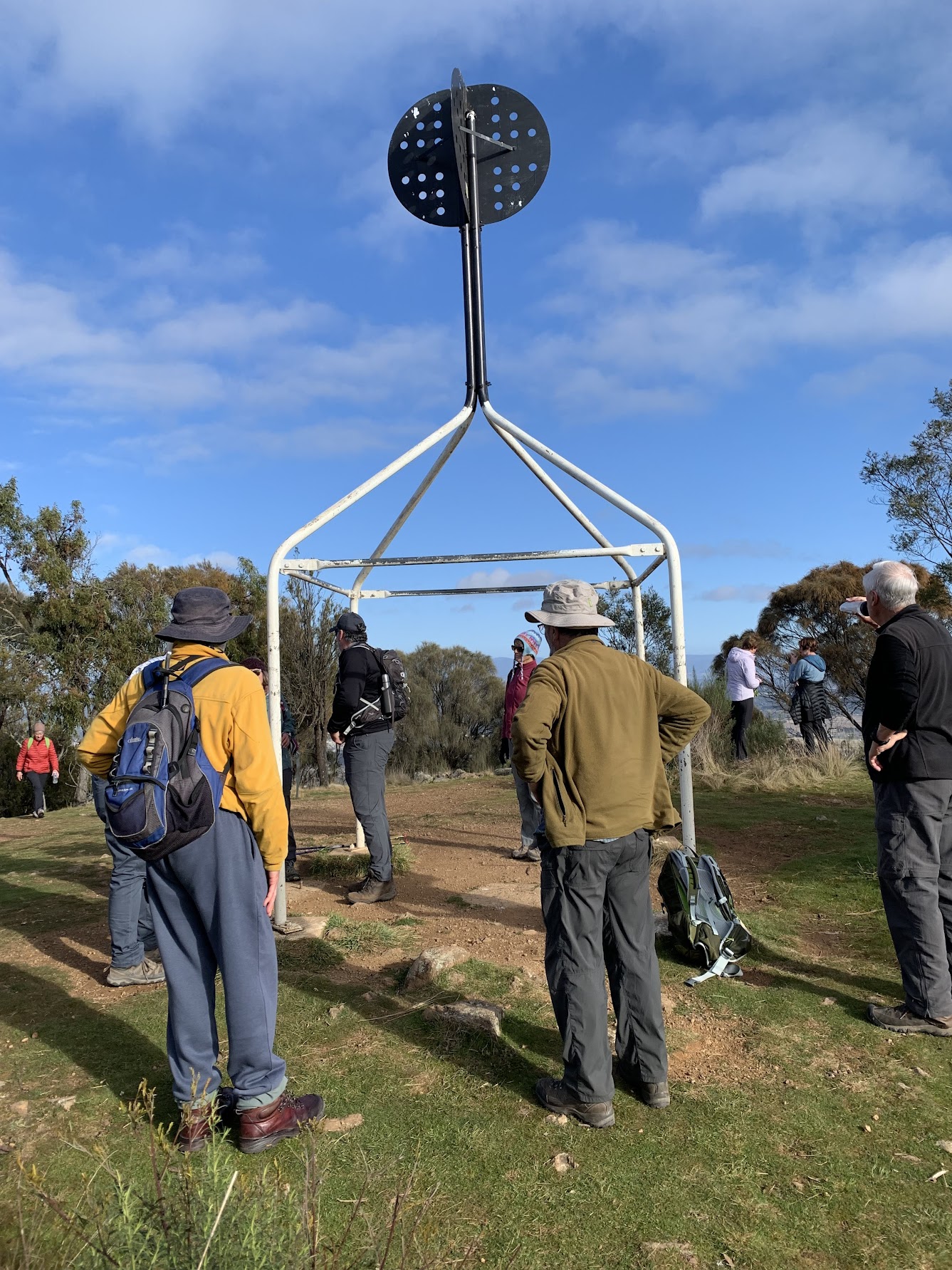
Mt Majura trig
Well ahead of time, we were allowed a break. I took the opportunity to practice my PeakFinder.

PeakFinder from Mt Majura
From here we headed down the northern spur of Mt Majura, past the Air Navigation Facility and into the woodland. Some very nice Kurrajong trees.

Kurrajong trees on the NW spur of Mt Majura
Our very competent leader soon had us at the southern end of the destination. Rather than a wall, it’s the base of a fence line. Settlers were required to fence their land and here the ground is so hard and stony that they had to build up a fence base in order to erect the posts for a post and rail fence. What a huge effort – the structure is 240m long!

Boundary fence stone base and post and rail | south end | north end
After following it down, we bent away to the NW to join a fire trail. A stop just up off the side of it to examine a tree. Surveyor’s blaze or something else?

Survey blaze?
Cut the corner of the fire trail and so down Clancy’s Track. Stopped at what I’d always believed to be a horse jump, but is clearly a loading ramp site.

Loading ramp beside Clancy’s Track
Back down to the cars.
Track Map
Continuing my map source fiddling, here’s the track on the Hall 1:25000 etopo geo-PDF map downloaded from SIX and calibrated for use in OziExplorer.

Track Mt Majura and Dry Stone Wall on SIX etopo PDF calibrated in OziExplorer
Party
12 walkers – Leader Phillip S.
Finished by 11am, I took the opportunity to recce parking areas for some upcoming walks.
Photographs are available here.
Justice Robert Hope Park Nature Reserve

Track Justice Robert Hope Park NR

Track Crace Grasslands NR

Track Nadjung Mada NR

Track Gungaderra Grasslands NR
John hall
11 July , 2022 10:04 amLooks like a lovely series of walks.
Thanks for sharing.
Johnny Boy
11 July , 2022 10:12 amYuma John. Nadjung Mada and Budjan Galindji Grasslands NRs coming up will be interesting. I didn’t know they existed until recently and still can’t pronounce them. Yarra. john