
Pierces Creek Falls
Sunday 2 October 2022: Pierces Creek Falls – 2A/D/E. From the locked gate on Pipeline Rd we head generally SW along Hardy Range to a point where we descend steeply in an easterly direction to the falls. Retrace our steps back up to Hardy Range and head in a general NW direction to Pipeline Rd via Cotter Hill Trig. Follow Pipeline Rd back to the start. Whilst much of the walk is on road or firetrail, the off-track sections are expected to be through thick scrub with some steep ascents and descents and loose rocky ground. Walkers should be experienced in off-track walking. About 14 km. Ascent 600 m. Leader: Mike Bremers NPA.
Summary
From Garmin Connect – Distance: 16.16km | Climb: 900m | Time: 4:32 moving + 3:52 of stops = 8:24 | Grading: L/R; H(14). Climb and times a bit ridiculous. Will be interesting to compare with others. So who do you believe? Take them all with a grain of salt and just do it!
From Mike’s record – Distance: 15.24km | Climb: 780m | Time: 3:17 moving |
From Jan’s and Philip’s devices –

Jan’s and Philip’s devices measurements
Photographs are available here.
Relive the trip (yuk yuk)
gpx File
The gpx file is available here.
Track Notes
I was last at Pierces Creek Falls on 20 Aug 13 and 11 Aug 07.
Came on this trip via an invitation from Mike, who obviously had more confidence in my ability than I do. I thought long and hard about accepting the invitation, as this was the first bushwalk I’ve done in three years. It’s October, but august company.

Hardy Hill from the drive in
Parked at the locked gate under Hardy Hill at the 7-ways intersection. As I’ve done on previous occasions, fooled by all the fire trails and we headed down Pipeline Road for 10 metres before doubling back.
Geocaching skills suffering as I couldn’t find 2 difficulty 2 caches, but I don’t like to hold someone else’s party up.
Easy walking under Hardy Hill and along the fire trail to near its end.

Easy walking hey – near the end of the formed fire trail
Great views open up.

View S along the Hardy Range, Tidbinbilla Mountain at back
But it didn’t last.

Tight scrub just off the end of the formed fire trail
Consummate navigation and route finding skills that I can only aspire to. Short distances but slow going, the leg from the end of the fire trail to smoko was 2.1km and took 1hr 25mins.
After our break we plunged down towards Pierces Creek, hitting it downstream from the falls to avoid small protecting cliffs.

Heading down near the falls
Headed up the creek a few tens of metres and arrived at our objective.

Pierces Creek Falls

Pierces Creek Falls
Mike carried in a monster camera and tripod (as well as compact camera and phone), so look out for some magnificent shots of his. And here they are!

Photographer Mike at work
Shared with permission.

Pierces Creek Falls | photo Mike Bremers
I did take a video to record the raw sound of the 25 metre high falls.
We began the climb out by skirting closer to the small cliffs.

Walking out under the little cliff N of the falls
The leg from the falls to lunch was 930m across the ground in 1hr 16mins, climbing 175vm through the scrub. I had to call for 3 stops.
Mike recorded my huffing and puffing.

Walking up from Pierces Creek Falls | photo Mike Bremers
Lunch break was a life saver!
We gained the ridge line and went north to the top of a spur.

About to head down to Cotter Hill
The only hill/trig that I’ve walked down to! The going was a little easier and we reached Cotter Hill, still recorded as a trig just with a large cairn.

Philip, Jan and Mike at Cotter Hill trig cairn
Another short and steep plunge down to join Pipeline Road, 500m across the ground in 24mins, dropping 230vm.

Looking down to the Cotter River and Pipeline Rd from Cotter Hill
Reaching the road, I imagined it was nearly all over.

Reaching Pipeline Road
Only trouble is that to cover the straight line distance of 3.2km from here back to the start, one has to walk 6.6km.
I was not fully prepared for this trip. My scrub gloves had reverted to gardening gloves, so were not in my pack. Thank goodness I had a winter warm pair still available, which now need replacing as the fingers wore through from all the tree/sapling swinging. I did not have sufficient water, so had to top up.
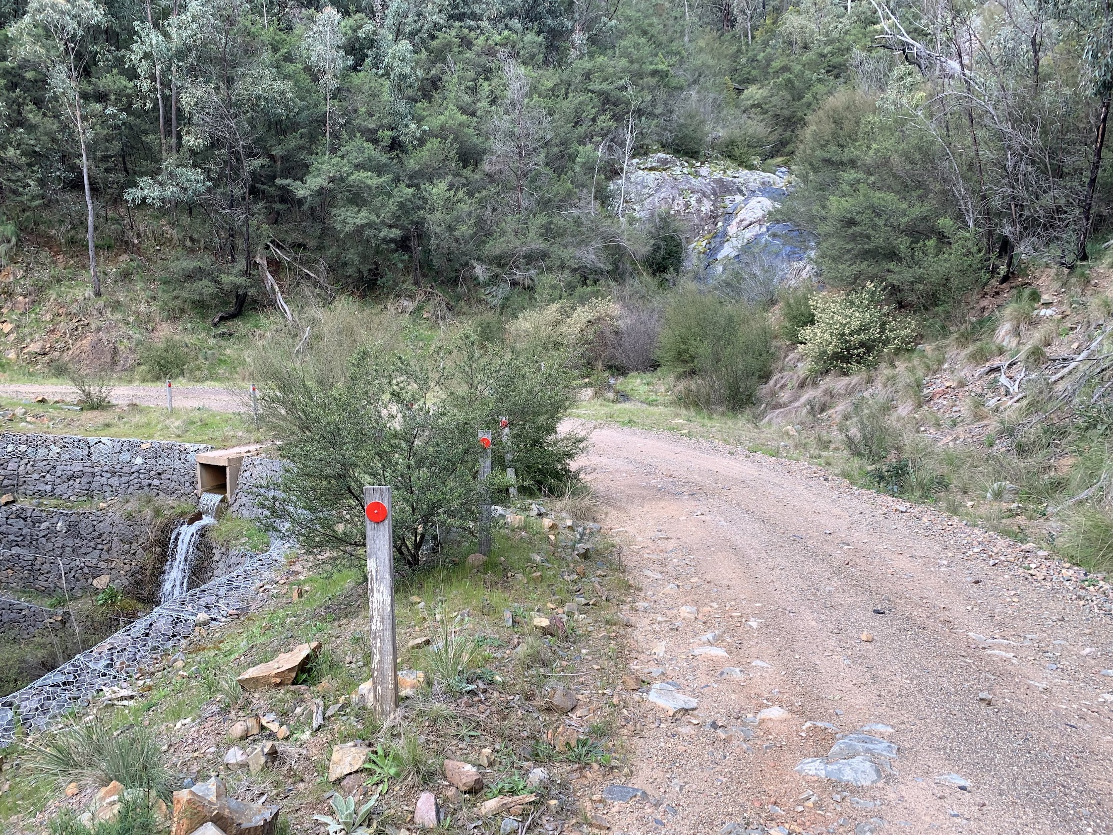
Water from culvert 12
The culverts over each drainage line are conveniently numbered from 12 down to 1, indicating the number of twists and turns.
A necessary, but not inspiring, leg.

Walking Pipeline Road
So good to get back into the bush! Many thanks Mike, Philip and Jan!
Compare this trip with one here, on page 13, in 2008. (There’s also a trip report on a Tidbinbilla Range N-S traverse, from Pierces Creek Pine Forest to Fishing Gap car park via The Pimple, on page 10.)
Track Map
Here’s where we went.

Track Pierces Creek Falls
Party
4 walkers. Mike B, Philip and Jan G, me.
Beat Oppikofer
4 October , 2022 10:56 amDid you see the;
plus confirming the position 14r falls.?
where are they?
https://canberrabushwalkingclub.org/ci/activity/view/2147/1?refere=https://canberrabushwalkingclub.org/ci/activity
Johnny Boy
4 October , 2022 11:13 amYuma Beat. We came in south along the Hardy Range, then dropped down to our destination from the west. You will see the map marked position of the 14r falls around 700m ENE of Pierces Creek Falls. We did not see them. I visited the 14r falls location on 15 January 2008 and saw nothing there. As Garry says in his CBC walk description for 11 October, he’ll be visiting both falls and confirming the exact location of the 14r falls. Yarra. john