Last updated 2Aug25
Paddy Moores Hut site
Paddy Moores Hut site is located near the downstream bridge of the Rendezvous Creek Walk loop track in the Namadgi National Park.
Location: GR 55H FA 80023-44215 (MGA94), Rendezvous Creek 8626-1S 1:25000
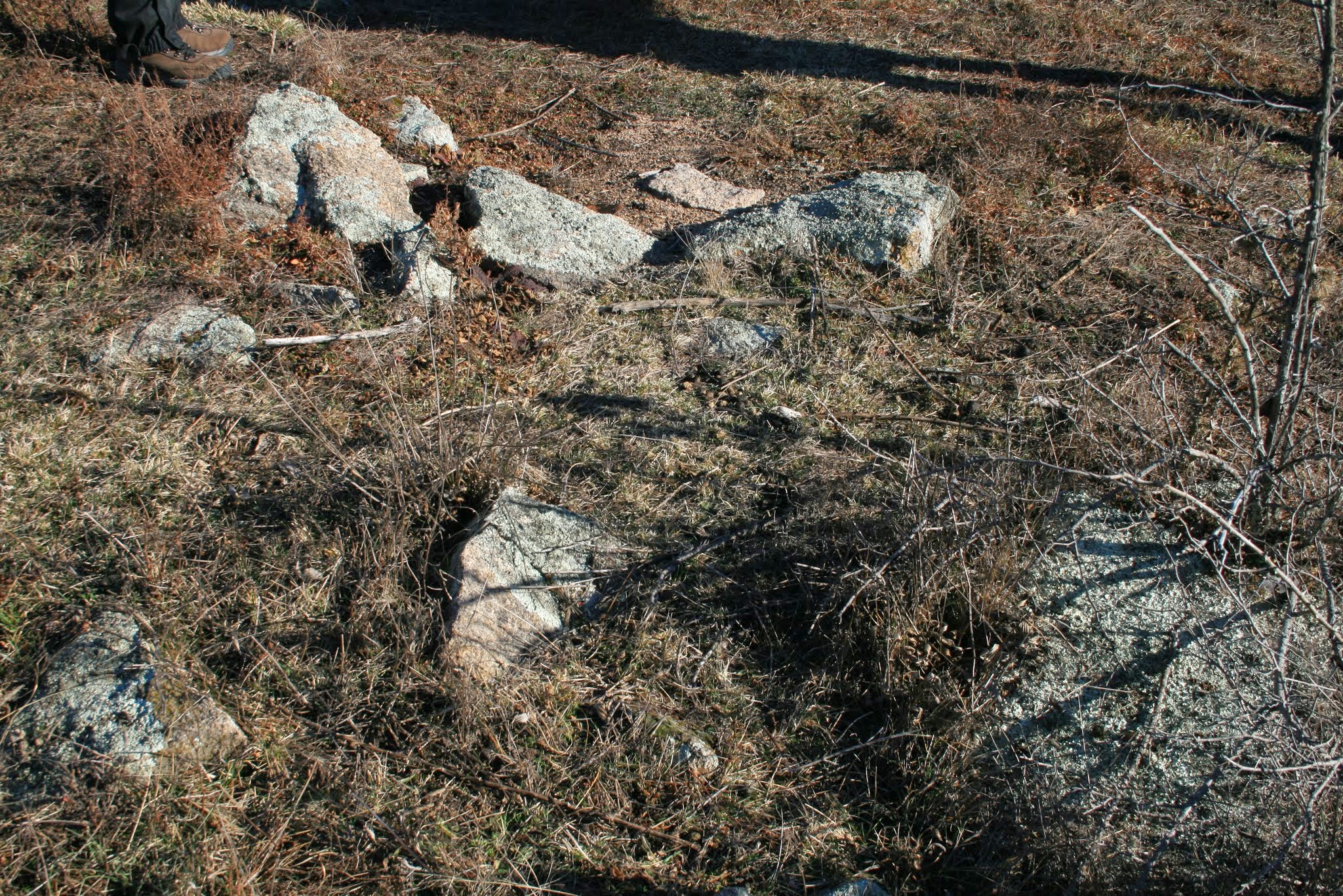
Paddy Moores Hut site, July 2008
Visits: 18 Feb 24, 19 Feb 22 (couldn’t find it in the long grass), 20 Jul 19, 8 Sep 10, 22 Jul 08
Documentation:
• KHA Namadgi database (private source). Site 302. The hut is shown on a 1908 survey map. It collapsed in the 1940s and today only one piece of stone at the site can be readily identified as part of the hut.
• Gudgenby: A register of archaeological sites in the proposed Gudgenby National Park, J H Winston-Gregson MA thesis, ANU, 1978. Site G5. Indented soil platform, scattered granodiorite blocks, granodiorite hearth. Portion surveyed for Patrick Moore in 1908. Hut was demolished circa 1927. Source: W Bootes 16 December 1977. See extracts of the relevant pages in the photos below

W-G G5

W-G G5
.
• Paddy Moore was a selector. See Rugged Beyond Imagination Matthew Higgins p28.
Leave a Comment