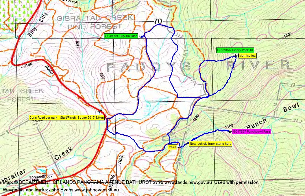
Thursday 8 June: Corin Caching S/M-R. Thanks to a generous cache owner, we’ll return to grab GC22BVN Binary Peak 10. We’ll throw in GC49RVE Billy Boulder and GC1TE57 Punchbowl Pass to make a half-day of it. Maps: Corin Dam, Tidbinbilla. Around 8km and 350m climb.
Further Information
A little trip back to grab a cache we missed last Saturday (and which I was too proud to log as a DNF). The generous cache owner provided a clue.
Summary
Distance: 8.0km | Climb: 395m | Time: 10.15am – 1.10pm (2hrs 55mins), including 10 mins of breaks | Grading: S/M; M(8)
Photographs
Photographs are available, where you can start a large sized slideshow.
Waypoint and Track Files
Download the .gpx file. (Right click, Save Link As…, Save – if you want to use it.)
To use in Google Earth, do File, Open… and select Gps or All files as the File Type.
Track Notes
Roger whisked us up to park on the side of Corin Road. A beautiful early winter’s day, sunny and (just) mild.
Fire trail and decommissioned fire trails took us generally N-ish to log GC49RVE Billy Boulder.
Then a (longer than expected because we missed an intersection) loop on easy walking fire trails to the start of the more gentle spur leading to SH1332 from the SW. Last Saturday, we’d descended to the west and it was pretty steep, so the gentler approach looked better on the map. It was certainly a less intense climb, but a bit more scrubby. However, the lyrebirds kept us entertained as we climbed.
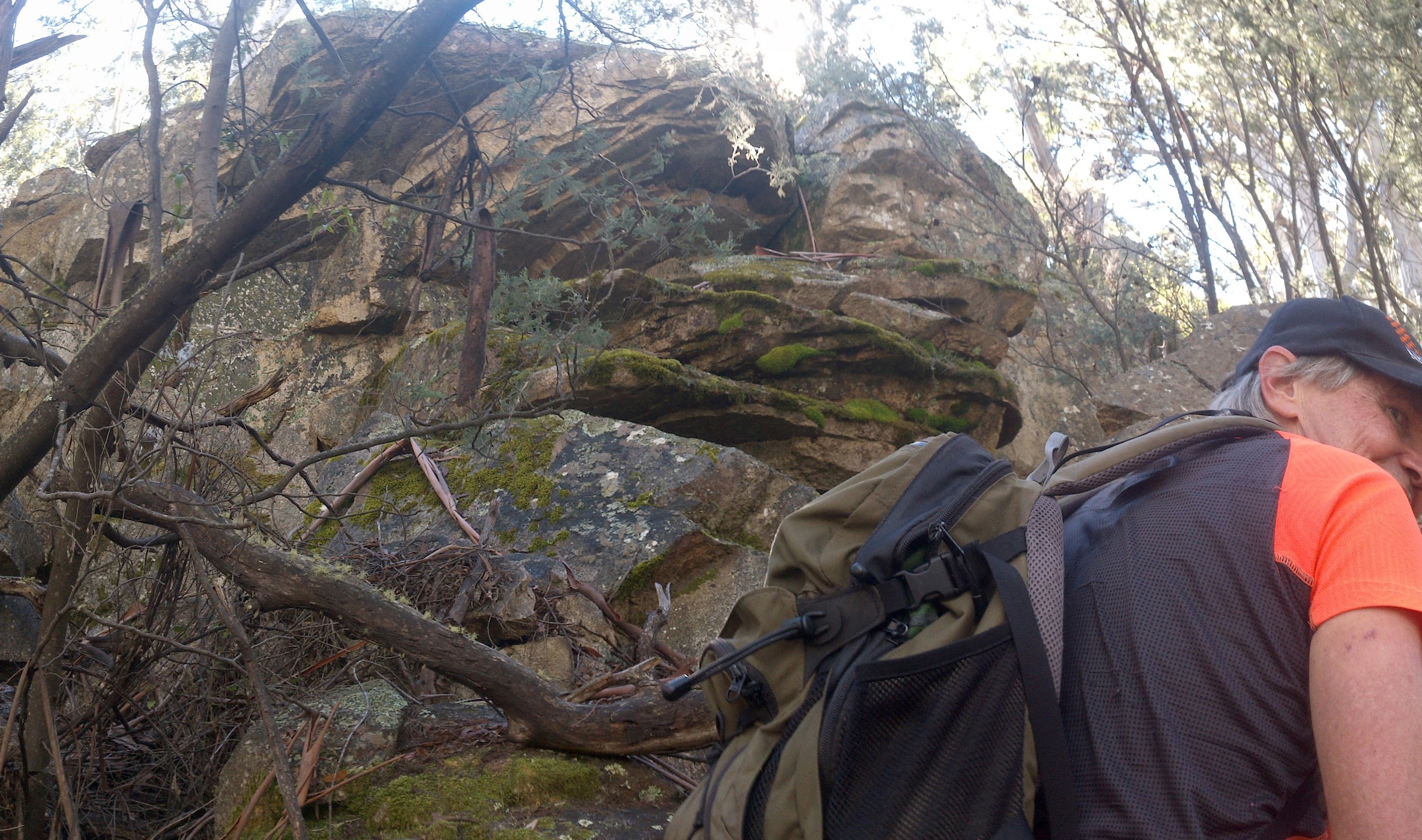
We arrived at the spot where we’d been previously searching. Armed with extra knowledge, I went straight to the spot and made the find of GC22BVN Binary Peak 10. Roger signed us on (although admitted when we were well away, or when his memory kicked in 😀 , that he may have missed writing my name). I hope the cache owner remains generous 😆 . A 10 minute morning tea.
Now knowing both routes to the top, we chose the steeper, less distance descent to the west. We plunged back down to the nearby fire trail, then continued to the SW.
A cut off of a loop of fire trail saw us descending to cross the top of Punch Bowl Creek. then to the boundary of Namadgi National Park.
The cairn marking the entrance to the Punch Bowl Creek footpad was visible as we walked up the fire trail but, sadly, no longer necessary. Down through the creek line and up the other side is now a widely cleared foot track. After a couple of hundred metres it turns into a full blown graded and widely cleared new fire trail. A bit sad, as this was a lovely little pad when I last walked it on 29 Aug 15. Near the top of the Punch Bowl Creek falls, the new fire trail becomes very steep and it’s hard to imagine a vehicle capable of driving up it.
We were heading for geocache GC1TE57 Punchbowl Pass. But I reckon it was in the middle of the now fire trail and is gone. Too bad, so sad.
Returned up the trail. Fire trail and easy cross-country back to the car.
Thanks Roger.
Track Map
Party
2 walkers – Roger E, me.