
Large tor
Saturday 26 August 2023: Nursery Creek Rock Art and Orroral Valley sites * – M/M,ptX. Walk the Nursery Swamp Trail to the bend after the bridge over Nursery Creek. Continue off-track along the route towards Rendezvous Creek (the old footpad obliterated by the 2020 fires). Turn north and cross Nursery Creek to visit the indigenous rock art site known as NS2. On the return on the true left side of the creek, search some locations for the possible position of another site, NS3. Rejoin the walking track to return to the car park. Wander out onto the Orroral Valley to visit several Indigenous and European sites. Around 12km and 300vm.
Summary
From Garmin Connect (Map66i) – Distance: 12.96km | Climb: 460vm | Time: 3:58 moving + 2:29 of stops = 6:27 | Grading: M/M-R; M(10).
Photographs
View photographs here.
gpx file
Download the gpx file here.
Track Map
Here’s where we went.

Track Searching for NS3
Track Notes
We drove out to the Nursery Swamp car park and were walking up the track by 8.40am. Nice flowers track side.
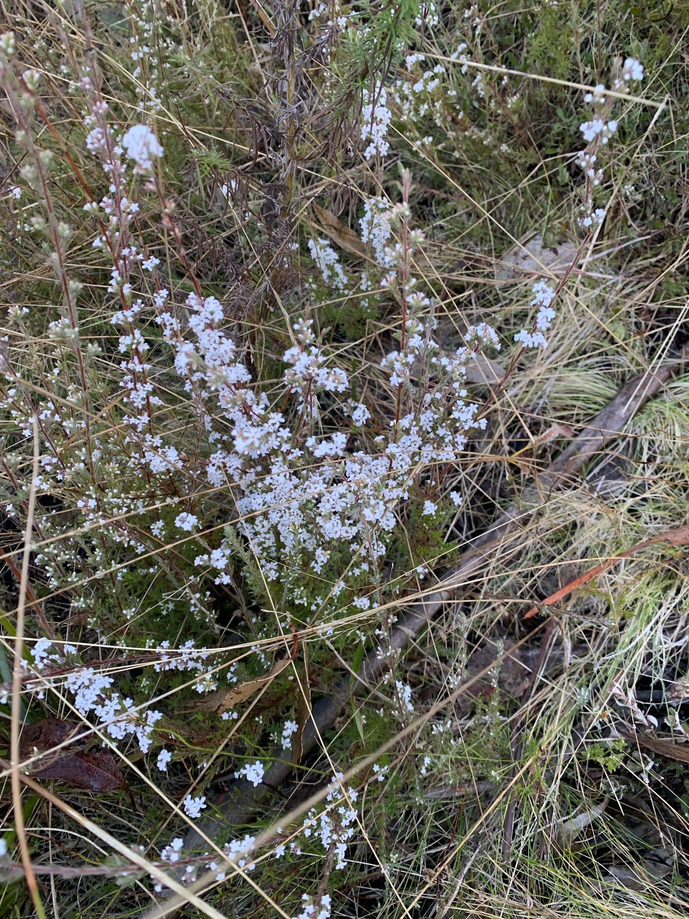
Epacris spp.
Turned left at the watershed corner, down over the bridge over Nursery Creek and on to Rob H’s turnoff spot. A couple of hundred metres got us out into the open.
Heading towards the old ‘blue paint marking start of footpad’
Of course the blue paint marker at the start of the footpad over to Rendezvous Creek is now black charcoal, but it makes a handy GPS marker.
The footpad starts off clear enough, but I lost it in places.

Footpad to Rendezvous Creek around 250m in
I tried to follow the old alignment (red on the map segment above).
We stopped for morning tea just after turning right. Then down to cross Nursery Creek.
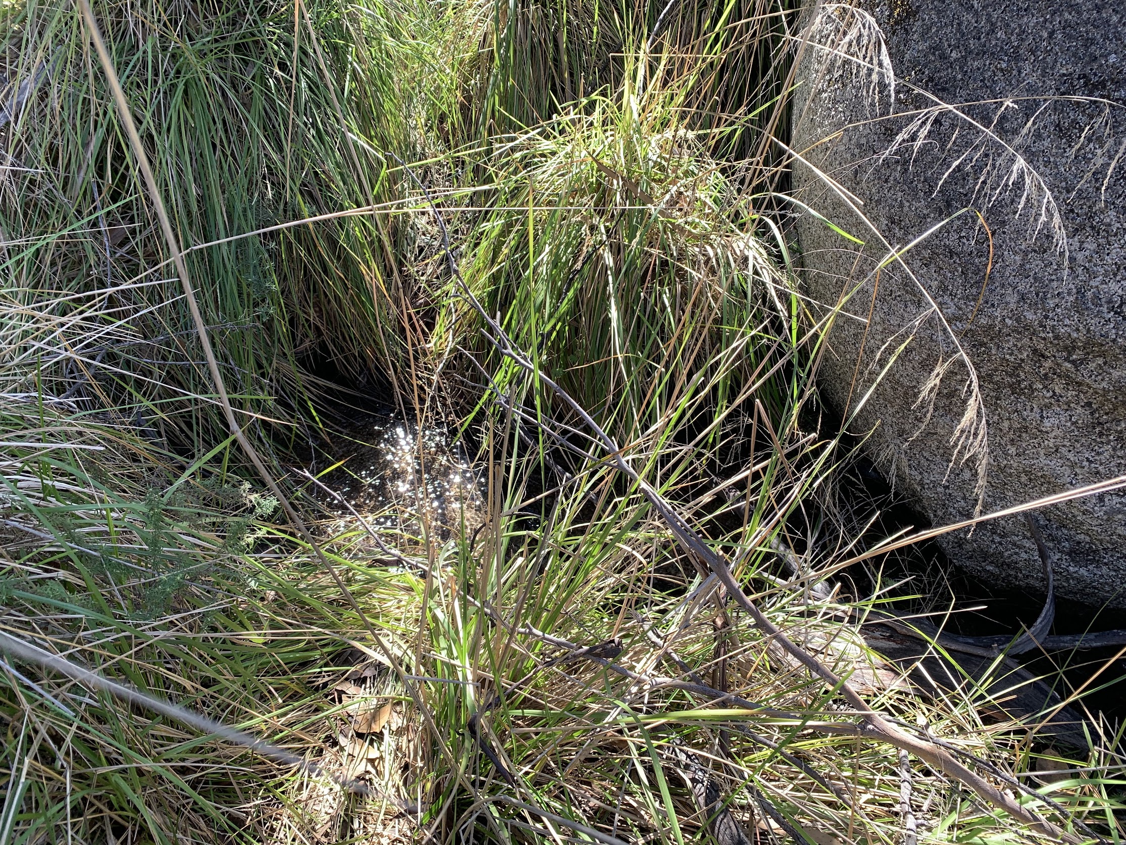
Crossing Nursery Creek
Arrived at the Nursery Creek rock art site (NS2) that most would know.

Nursery Creek rock art site 2
We had a good look around, even circumnavigating the huge rock.

Right side of Nursery Creek rock art site 2 and next boulder
We went down to sign the visitors book!

Visitors book
The purpose of this trip was to examine sites that might possibly be the Nursery Creek rock art site 3 (NS3). There are two other heritage listed rock art sites in the area but, of course, locations are not given in the ACT Heritage listing entry. Other friends and acquaintances have provided me possible locations.
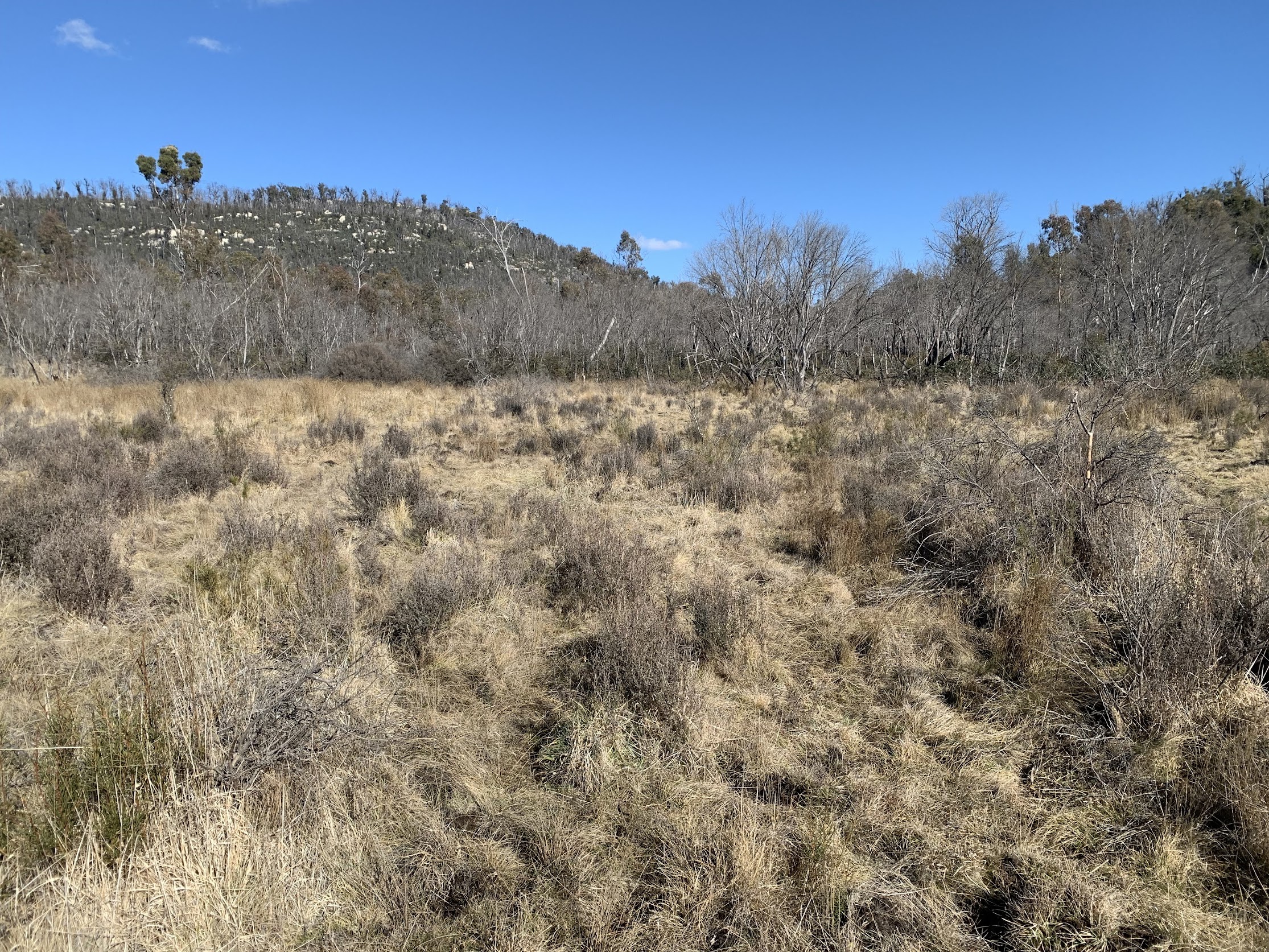
We headed SE to the first possible location and had a good look around. No joy.

Exploring a possible location for NS3
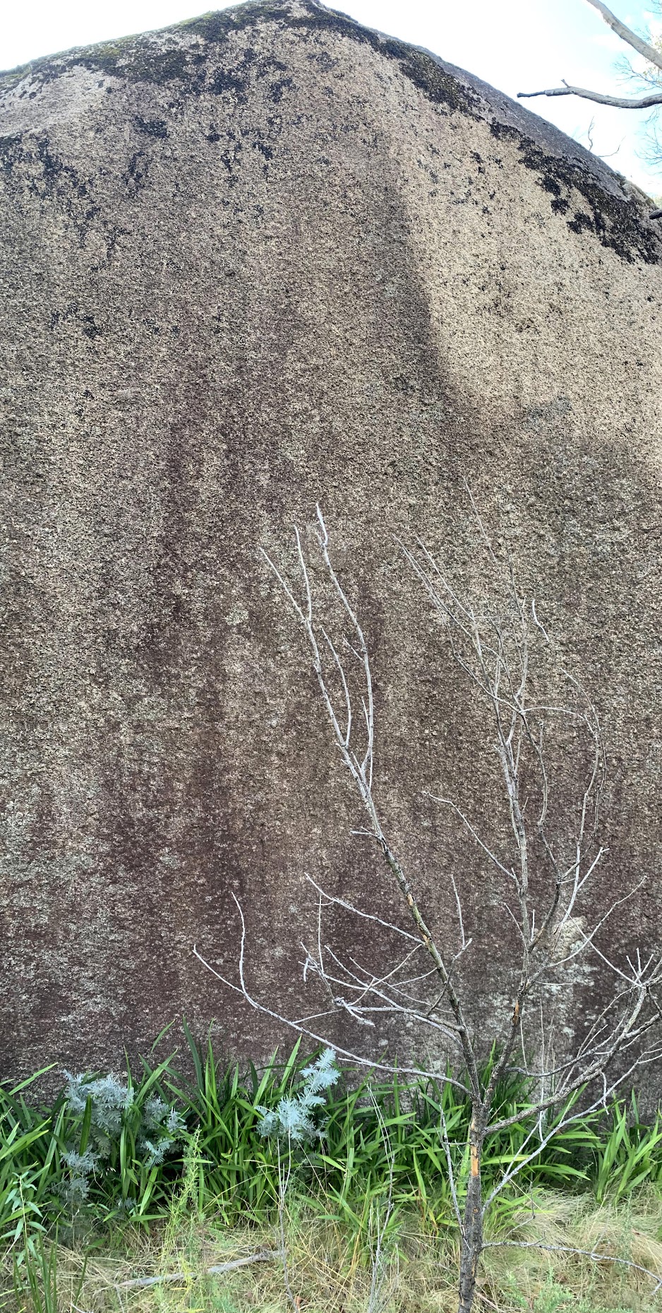
We then turned NE. We seemed to be in the top of a band of quite heavy regrowth, our next destination right down in the middle of it. A ‘Large Tor’ took my fancy further up and, although it was more a spire than a block with possible overhang, it deserved a visit. No joy.
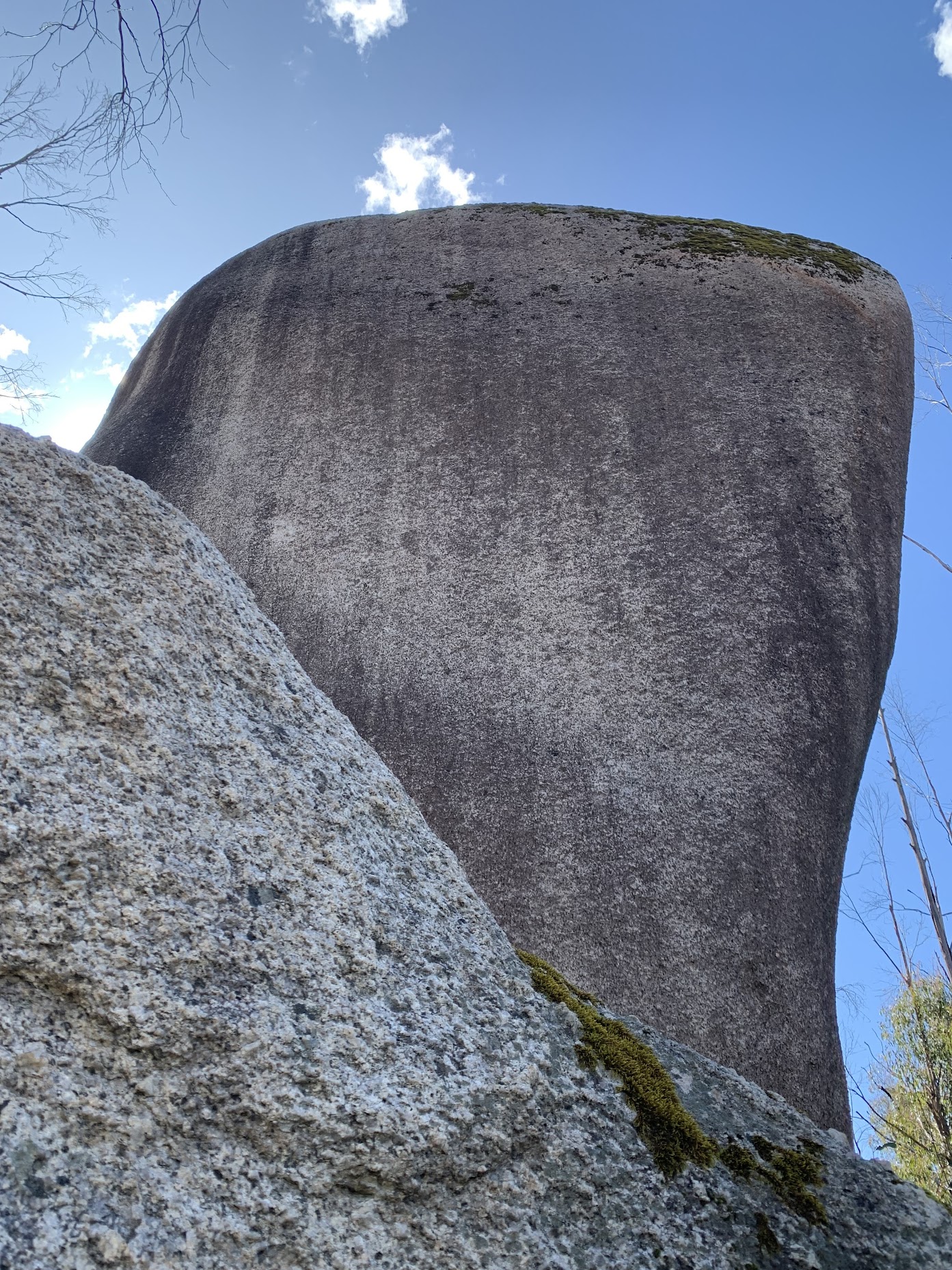
Large Tor
Our next destination was supposed to be the location ‘NS3 from ACT Heritage’. Very dodgy, as I’d calibrated the schematic in the heritage listing into my mapping software, used some known locations and done a resection. Too much vagueness. We took a peek down in its direction and saw no granite and thick scrub.

Not going down through there to ‘NS3 from ACT Heritage’
So we battled on across the top of the regrowth band, just below the 1200m contour. Dipping down towards the next site to be examined, we stopped at a nice ‘Large Rock’.

Large Rock
Down at the next location there was again no joy.
Another possible location for NS3
It was now 12.30pm. we had one last location to check and it revealed a highly possible spot. There were a couple of survey pegs on the ground and a possible small excavation site by one of them. But I’m no expert, so who knows?

‘NS3 Greg H’
We celebrated – the end of the scrubby search – with lunch.

Lunch at ‘NS3 Greg H’
It was then back to the Nursery Swamp Walking Track and down to the cars.
PS. Further information on NS3 is in the unreferenced paper here. The photo in the paper and my photos of ‘NS3 Greg H’ are so similar.
Track Map
Here’s where we went.

Track Orroral Valley sites
Track Notes
Some new (to me) signage guided us out onto the open valley.

Orroral Valley signage near Nursery Swamp car park
Easy walking.

Orroral Valley signage
We wandered down to look for the Winston-Gregson documented OR4 stockyard site (finding only a star picket perhaps marking the location), then to the original Orroral homestead site and signage.

Original 1830s Orroral Valley settlement signage
Down to the bridge over the Orroral River.

Bridge over Orroral River
And that was it. Back to the cars. Still a bugga walking with a pretty useless arm and hand. Thanks folks! Trust you enjoyed it.
AllTrails
The AllTrails map is here, where you can pan and zoom.
Party
7 walkers – Mike B, Michael C, Dagmar K, Richele R, Maria R, Lam S, me.
Johnny Boy’s Walkabout Blog FaceBook Page
I’ve started up a FaceBook page. Each trip report posts to it. It’s another way to get some info to get out and breathe a bit of fresh air. Why not pop over and Follow the page, or give a post a Like.