
Morning tea at Leura Gap
Saturday-Sunday 2-3 March: Pockets Hut, Leura Gap – L/M,ptX. This walk was postponed in December due to bad weather. Those previously booked will be given priority so you may be placed on a wait list. Day 1: Drive via Cooma, Adaminaby, Tantangara Dam to the locked gate on Pockets Saddle Road at Gurrangorambla Creek. Walk the 1.5km to the Murrays Gap fire trail turnoff and drop overnight gear. Walk a 7km loop along the Goodradigbee Aqueduct Track – I wonder what we’ll see. Return to pick up our gear and walk a further 3.5km along the Australian Alps Walking Track to Pockets Hut. Day 2: Leave overnight gear at Pockets Hut. Walk with day packs north to Rolling Ground Ridge, then south-east roughly following the ridge before turning east to Leura Gap hoping to find Leura Hut (ruin) on the way. Bonus for those who have gone over to the dark side is a cache at Leura Gap). We then retrace our steps to Pockets Hut. All on old track shown on maps (if track not overgrown) Most of track seems to show on Google Earth. After picking up our overnight gear we will walk the 5km back to our vehicles and return home through Cooma. Leader: Phillip S.
Further Information
Last times I was at Leura Gap was 9-10 Jan 09, 27 Oct 12 (47km round trip from Corin Dam in 15 hours) and 5-6 Apr 13.
Summary
Distance: 37km | Climb: 1200m | Time: 2 days | Grading: L/E-M; M(11)
Photographs
Photographs are available, where you can start a large sized slideshow.
Video
Waypoint and Track Files
Download the gpx file for this trip (if your browser does not automatically download the file, it will open the gpx file in a new window and you can then save it). To use in Google Earth, do File, Open… and select Gps or All files as the File Type.
Track Notes
Third time lucky with this trip, having been previously postponed due to rain then heat. Happy to drive to give my new SUV a distance and gravel road trial. Around 3 hours Calwell to the locked gate at Gurrangorambla Creek on Pocket Saddle Rd.
We loaded up and set out. Phillip had very kindly driven up here a couple of days previously to ensure our camp water supply, so it was with less weight of water.
We dropped our packs near the junction of Pocket Saddle Rd and Murray Gap FT and, with lunch and water and the usual few other things, headed up the FT and soon left onto the Aqueduct Track. New territory for us all, I think. One often steams past here on the way to Bimberi Peak; today was the perfect opportunity to explore this loop track.
A peasant enough walk in to the mouth of the aqueduct on the Goodradigbee River where we had lunch.

Aqueduct inlet on the Goodradigbee River
We continued around the track, which passed through a nice shale cutting.

The cutting on the Aqueduct Track
From here the track proceeded high above the river and there was a great view back to a small waterfall.

Waterfall on the Goodradigbee River from the Aqueduct Track
We completed the loop back to our overnight gear, visiting a small water harvesting dam above the track.

Small water harvesting site above the Aqueduct Track
Our next leg was north-ish along Pockets Saddle Rd, with a detour at the pump house west along the service track to see the outlet of the aqueduct.

The other end of the aqueduct
At the junction where Pockets Saddle Rd becomes Blue Waterholes FT, we turned N onto the Leura Gap Track for around 1km, then west through a shallow gully to Pockets Hut.

Pockets Hut
On his recce, Phillip had found a watering spot in the creek, but also a pleasant walk to the east to the Goodradigbee River.
We had a look in the hut, set up tents, then enjoyed the walk to the east to collect camping water.

Goodradigbee River east of Pockets Hut
The usual evening camp routine with plenty of chatter. No fire by mutual agreement.
A mild night, waking to a slightly misty morning.

Morning accommodation beside Pockets Hut
Up at 6am and away by 7.20am, leaving our tents and overnight gear.
Over the shallow drainage gully and back onto the Leura Gap Track, turning North. Crossed the Goodradigbee River via culvert, with views to a nearby bluff.
Bluff over Goodradigbee River
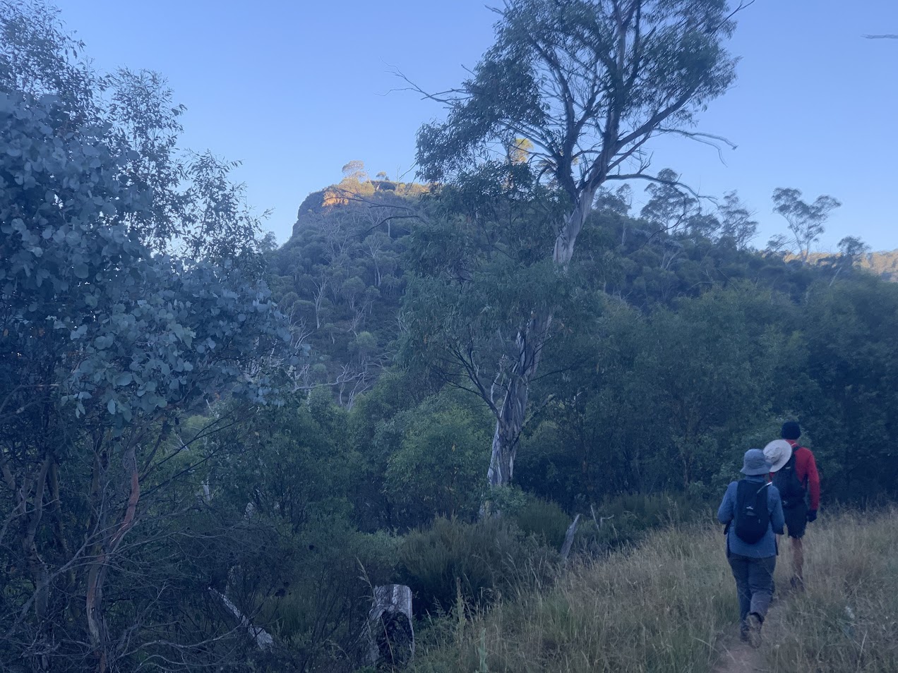
Quite pleasant walking on the fire trail, first heading north, then NE, with an angled turn to the east as the climb began in earnest. We crossed running water again.

Walking the Leura Gap Track at 1360m just before the bend to the east
One of my desires was to see if there was anything extant at the Leura Hut site. When we came close to the map marked site, most of us struggled up through the rampant scrub to the site. But nothing could be seen.

Nothing at the map marked Leura Hut site
Roger was puzzled at the time, because he had previously visited the site and believed it to be quite close to the track. Back at home, all was revealed – the track has been realigned!

Leura Hut location and track realignment
At last our goal was within sight and we crossed from NSW into the ACT.

Crossing from NSW to ACT at Leura Gap
We enjoyed morning tea, then returned the same way. The up leg was 9.4km in 3 hours and the return to Pockets Hut 2hrs 15mins.
Somewhere, sometime over the weekend, Roger and I found and logged geocache GC190HF Brumby Trail.
Lunch, packed up tents and walked out to the cars. An uneventful drive back to Canberra.
A great weekend, thank you Phillip and all.
Track Maps

Track overview

Track 1

Track 2

Track 3
Party
11 walkers – Helen A, Eric D, Roger E, Julie H, Stephen M, Mark P, Wayne P, Lisa Q, Max S, Phillip S (leader), me.