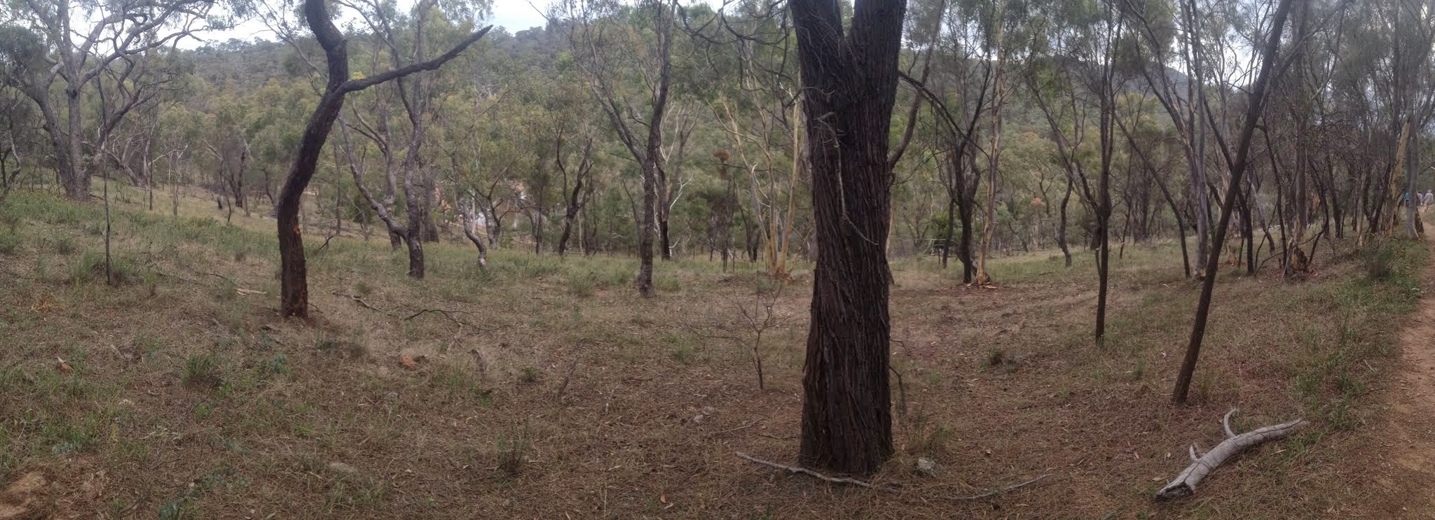
View from the southern flanks of Mt Majura towards Mt Ainslie
Monday, 19 January 2015 – Mount Majura – S/E. This evening walk will follow the Centenary Trail to the summit of Mount Majura. After soaking in the view and touching the trig, we’ll head down the eastern side of the mountain, before heading back to the cars. Meet at 6:30 pm at the end of the houses in Antill Street, Hackett. About 7 km – please bring a torch. No need to book. Map: Mount Majura Nature Reserve www.environment.act.gov.au/__data/assets/pdf_file/0005/390578/cnpmapmajura.pdf Leader: Nathan H. Transport: drive yourself but let me know if you need a lift.
16 of us met.
Summary
Distance: 6.4km | Climb: 295m | Time: 6.30-8.15pm (1hr 45mins) | Grading: S/E; E(5)
Track Map
Track
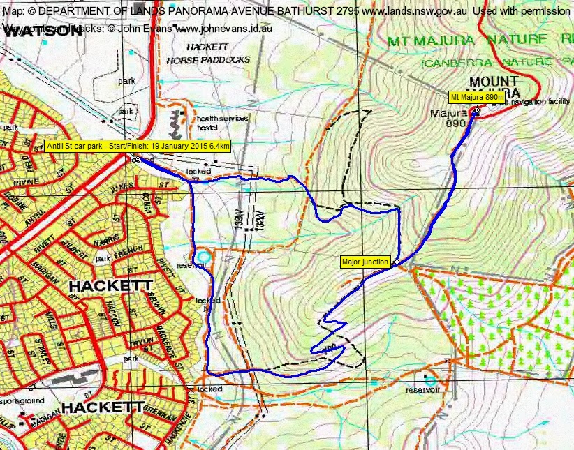
Profile

Photographs
Photographs are available, where you can start a large sized slideshow.
gpx File
Download the .gpx file here. (Right click, Save Link As…, Save – if you want to use it.)
kml File
Download the .kml file here.
Track Notes
With Nathan in Sydney, Phillip S kindly stepped in to lead us. We did a well-known little circuit. Great to talk to old friends and prospective members alike.
Gotta walk if I want to do this 100km.
Party
16 walkers – Jillian B, Jeff B, Marg C, Virginia D, Gerald D, Bob L, Lindsey MacD, Jan O’T, Sean O’T, Nerolie P, Dick R, Phillip S (leader), Ann V, Victoria W, Edwina Y, me.