
Tea party anyone?
Saturday 17 September 2022: Isaacs Ridge and Mt Mugga Mugga Nature Reserves * – L/E-M,ptX. Ascend through the Isaacs Pine Forest to the towers on the ridge. Walk north through YA90 (‘Sheaffe’) trig and down a spur to near O’Malley. Ascend the western side of the Mugga quarry, with views into this massive amphitheatre which would make a grand concert hall. East, then south, including walking a bit of Mugga Lane. Duck in via the Dynamite Trail to visit the unique explosive stores in Callum Brae NR. Return over the Isaacs ridge to the start. Around 16km and 500vm climb.
Canberra Nature Park – a breath of fresh air for busy walkers. There are 39 Nature Reserves in the Canberra Nature Park. How many can we walk in? These are numbers 24 and 25.
Summary
From Garmin Connect – Distance: 13.60km | Climb: 584m | Time: 3:18 moving + 0:30 of stops = 3:48 | Grading: M/E-M,ptX; M(9).
Photographs
Photographs are available here.
gpx File
The gpx file is available here.
Track Notes
I was last on Isaacs Ridge and at the Mugga quarry on 3 Jan19.
A couple of unplanned suburban streets and pine forest trails at first, but the navigator soon got into the swing of things. A little surprise at a corner.

Spoonville Isaacs
I think I planned the Isaacs Pines part of this walk via AllTrails tracks and the first success was to use The Spine “Bi-directional Multi-user Trail”. No bikes or other walkers going either way. Certainly nicer than the lower track beside backyard fences.

Pleasant walking along ‘The Spine’
A handy map gave us our location and we headed up the North Downhill Corridor.

Isaacs Pines mountain bike track map
Rated ‘very difficult’ for bikes, it was a puff up the hill and, in usual style, I rejoined my companions at the top where we popped out onto the ridge at the communication towers.
Turning north, we had a distant (and the only) view of the disused quarry on the side of Mt Mugga Mugga.

Distant view of Mt Mugga Mugga disused quarry from near Fire Brigade tower
A nice leg north along the crest of the ridge, although a bit cool in the breeze. Views to the East.

View east to the current Mugga quarry
A couple of nice copses of trees approaching and leaving the ‘Sheaffe’ trig.

Nice copses of trees south and north of YA90
We bagged the trig from a distance.

Approaching YA90 trig, ‘Sheaffe’
From here, our walk took us further north along the ridge and over a couple of knolls, then down the spur towards O’Malley. Of course we could have headed directly to the quarry site, but I had memories of pleasant walking down to the NW, then E-ish. Quite damp down in this NR border area.

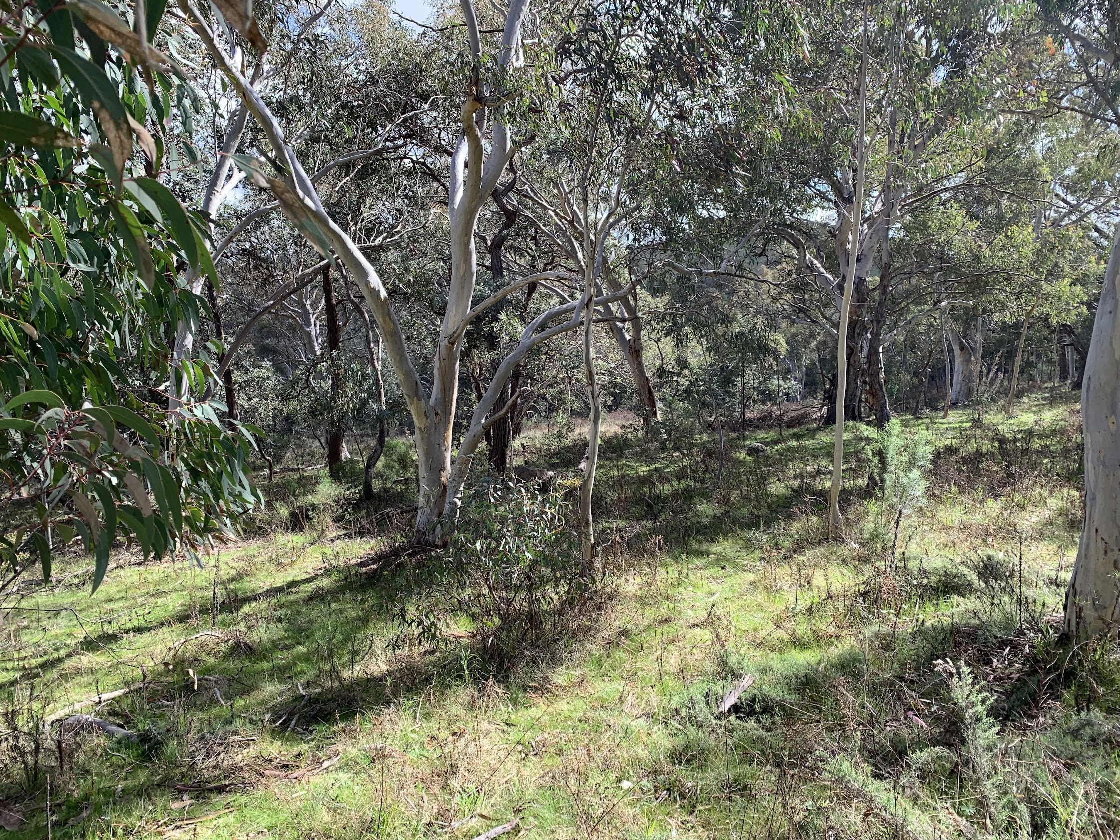
A pleasant trail at the border of the two Nature Reserves
A wiggle or two and a little off-track took us to the quarry fence.

A boulder at the quarry fence
We followed the fence to the SE for a little way, but no view of the quarry face. All we got was:

All we saw of the Mt Mugga Mugga disused quarry
This is what is behind the fence.

View into the Mugga quarry, February 2013
We found a spot out of the breeze and with a few sitting rocks on the west side of the Mt Mugga Mugga NR, just down from the track running beside the fence.
Setting out again, we left the fence and headed NE towards Hindmarch Drive. I hadn’t been here before, so was wondering how much walking room there would be beside the road. Plenty, as it turned out and quite an attractive area.
Nice walking in the NW Mt Mugga Mugga Nature Reserve
At one stage we did get a view down to the cars going by, with a view across to the southern extent of the Red Hill NR.

Hindmarsh Drive below
Again, pleasant walking down to the SE towards the dog pound, if a little weedy.

North section of the Mt Mugga Mugga Nature Reserve
A couple of fences to cross as we walked the side of Mugga Lane. A damp entry into Callum Brae NR and a look-see at the powder magazines.

Middle old explosives store

Callum Brae powder magazine signage
We exited via a bit of the Dynamite Trail and again walked the verge of Mugga Lane.
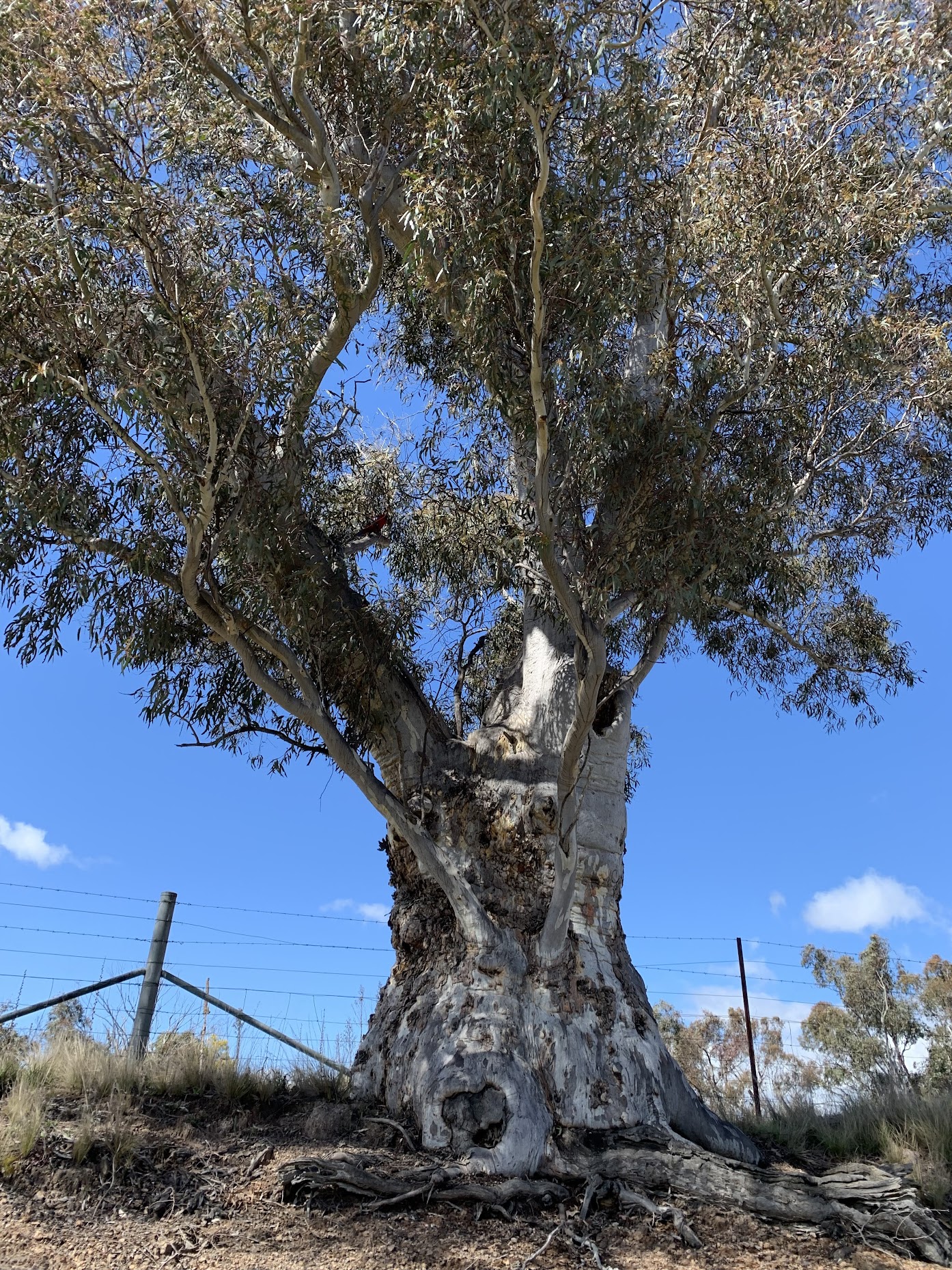
Tree on the side of Mugga Lane
A short section marked ‘Private’ on AllTrails up along the Isaacs House Trail to get back into the Isaacs Ridge NR. The little open valley running to the NW seems to be a horse area. Hhmm – do you reckon the ‘Isaacs House Trail’ should be the ‘Isaacs Horse Trail’?

Old shearing shed beside Isaacs House Trail
This area is marked as Mugga Park Riding School on an old Canberra OZraster digital map I have.
A gentle climb and we were back at the ridge top. A nice and different wattle.

What wattle is this?
Just down the W side someone has been having fun with a chainsaw amongst a few felled pines.
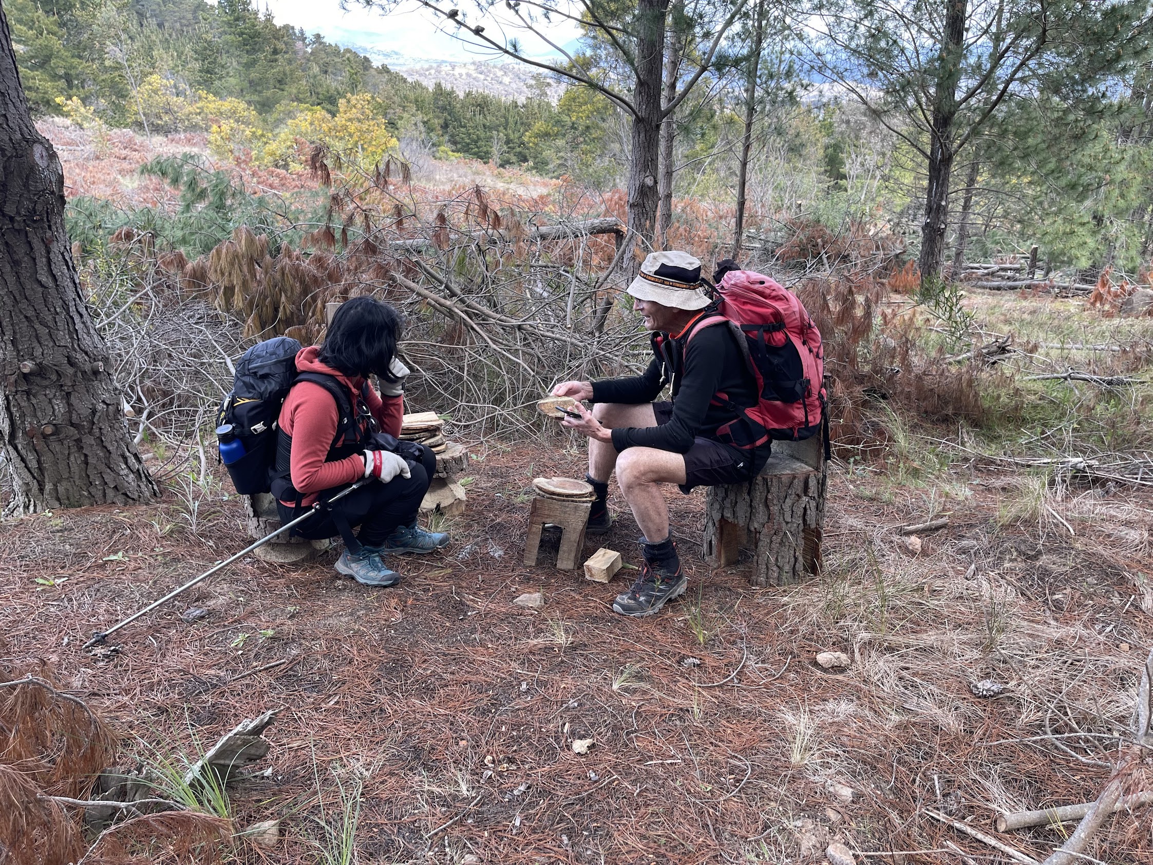
Tea party site | photo Marie

Mr Wombat’s post box
Downhill through the pines and back to our cars. Canberra Nature Park Nature Reserves #24 and #25 done.
Track Map
Here’s where we went.

Track Isaacs Ridge and Mt Mugga Mugga NRs
The AllTrails track map is here, where you can pan and zoom.
Party
5 walkers – Ingrid, Marie, Roger, Tilly, me.