
Scrambling down towards Rob Roy Falls
Wednesday 23 October 2024: E-M Wednesday Walk Rob Roy Falls * – M/M. Visit the bottom and top of Rob Roy Falls for spectacular views. Enter Rob Roy Nature Reserve up the creek behind the flood mitigation dam and climb up to meet the Banks Steep Track. Walk the fire trail under the flank of Mt Rob Roy to a point east of the falls. Traverse grasslands then a steep descent to the bottom of Rob Roy Falls. Climb steeply to the top of the falls. Rock hop up the creek line back to the grasslands. Walk north via three pleasant knolls to Big Monks. Descend steeply from ‘Little Monks’ via the Black and White Mine to the edge of Banks. Around 10km and 450vm. CBC grade M/M, BBC grade M(9), NPA grade 2/ACE.
Summary
From Garmin Connect (recorded on Epix Gen 2) – Distance: 12.00km | Climb: 610vm | Time: = 5:35 | Grading: M/M; M(10).
Photographs
View photographs here.
gpx file
Download the gpx file here.
Track Map
Here’s where we went. The red route is the planned one. The blue track I did, which included a return to the start, a puff up the Banks Steep Track and a corner cut to rejoin the party.

Track Rob Roy Falls
Trip Report
I was last at Rob Roy Falls on 10 Aug 24.
Today was the Easy-Medium combined clubs’ Wednesday Walk. They are popular and I’ve never had 24 in a party before. But many had not previously walked in the Rob Roy Nature Reserve or visited the falls. So a win all round.
We started from Orange Thorn Cres in Banks at 8.20am and followed the creek line up behind the flood mitigation wall. Always interested in names and history, I was pleased when Mike S (who was involved with the design of the wall) told me the creek is probably Wrights Creek, since the dam was named Wrights barrier.

At the dry cascade in Wrights Creek
At this point we climbed a spur to join the Banks Steep Track.
Here, a party member needed to return, so they and I walked back down the Banks Steep Track and drove back to Lanyon Marketplace. Very happy to leave Peter C in charge, Robyn C had a gpx file in case it was needed and Dave A was a huge help all day as tail end charlie. Thanks guys.
Pleased that I puffed up the Banks Steep Track without having to stop, tromped some fire trail, cut a corner down through the creek lines and caught up with the rest of the party. They had visited the bottom of the falls and had had smoko. Lots of Yam Daisies about during the day.

Plenty of Yam Daisies (Microseris sp.) about
A bit of fluffing around as I got back into where we were and where we needed to go to get to the top of the falls. Some tos and fros/circles 😂. Some scrambling to get down towards our objective.
Scrambling down towards Rob Roy Falls
A short break at the top of the falls.

A break at the top of Rob Roy Falls
We exited back up the creek for a way, then climbed out as it become quite tight.

View down the creek line to Rob Roy Falls
More yellow flowers as we came out onto the edge of the grasslands and curved up to Knoll 1 to avoid the scrub between the falls and it.
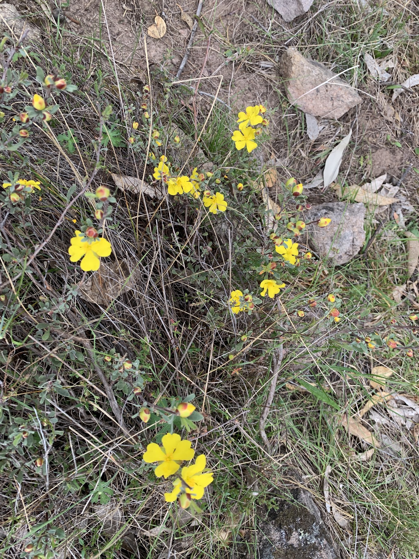
Guinea flower (Hibbertia genus)
Lunch with views to the SW to Mt Tennent, Booroomba Rocks, Blue Gum Hill. Mt Gudgenby could be seen in the distance and the rounded top of Bimberi Peak on the horizon.
They are pretty little knolls, #2 a bit insignificant and views north from Knoll 3.

Looking N to ‘Little Monks’ and Big Monks from Knoll 3
Suburban views from Big Monks trig.

A view from Big Monks
Over at ‘Little Monks’ and its Kurrajong tree, a chance to sit in the stone throne.
Then down via the Black and White mine.

A stop at the Black and White Mine
A steep descent to the SE corner of Banks and fire trail back to the cars.

Descending steeply to the edge of Banks
Hope you enjoyed it folks, particularly those who had not walked in Rob Roy Nature Reserve before.
Party
24 walkers – Dave A, Murray B, Robin C, Anthony C, Peter C, Sally E, Alana F, Steve G, Helen K, Michelle L, Jonathan M, Peter O, Marika P, Mark P, Debra R, Mark R, Fiona S, Marguerite S, Galia S, Mike S, Damian S, Jo T, Malcolm W, me.
Johnny Boy’s Walkabout Blog FaceBook Page
I’ve started up a FaceBook page. Each trip report posts to it. It’s another way to get some info to get out and breathe a bit of fresh air. Why not pop over and Follow the page, or give a post a Like.
Additional Trip Reports
As I age, I’m doing a few more simple hikes. I don’t always produce a full trip report. If you’re interested, you can find details of them on the Completed Walks tab. There you can access the trip’s map segment, download a gpx file, see the distance, climb and grading, and link through to the photo album. Additional metrics are available by looking at the start waypoint on the map segment – moving time, stopped time, total time.
Sally Eldridge
26 October , 2024 11:06 amThanks so much for walking back down with me and getting me back to my car John. I was really looking forward to the walk and was sorry to have to pull out, but I’m all good now and did a lovely walk yesterday. Thanks also for thia wonderful resource and I hope to see you on future walks.
Johnny Boy
26 October , 2024 11:10 amNo worries Sally. Enjoy Nepal, Cheers; john