
On the Gingera Ridge
Monday 29 July 2024: Mt Gingera snowshoe * – L/M. Snowshoe the Gingera Ridge from Corin Dam. Early start, slow ascent, late finish. Around 20km and 1100vm climb. Magical if enough snow.
Summary
From Garmin Connect (recorded on MAP66i) – Distance: 20.55km | Climb: 1120vm | Time: 6:27 moving +2:03 of stops =8:30 | Grading: L/M; H(12).
Photographs
View photographs here.
gpx file
Download the gpx file here.
Track Map
Here’s where we went.

Track Mt Gingera Ridge Snowshoe
Trip Report
I last did this snowshoe trip on 1 Jul 23.
I was going to do this trip solo, as last year. But my dear wife was concerned, so I popped it on the CBC activity list on Friday. Three great companions booked; I was just looking for one carload.
A great start – 3 ladies talking all at once in the car.
We started up the staired track to Stockyard Spur at 7.45am. It took me 1hr 21mins to do the 2.3km and 520vm climb. The ladies were waiting for me. 1hr 13mins last time.

Companions waiting for me at the helipad
Snow gradually got better.

Increasing cover climbing towards SH1615
The ladies were showing me clean sets of heals, so the next regroup was at Pryors Hut for smoko.
A stop for me at the Graeme Barrow named ‘Stockyard Spur Grandstand’.

Mt McKeahnie in centre from ‘Stockyard Spur Grandstand’
A lucky find of the remnant Brumby Yard remain showed to me years ago by Matthew Higgins. Just some wire now.

Brumby Yard remains
The Gingera Ridge was looking a bit bare. Was I goi g to be caned due to lack of white stuff?
Not much at the Mt Franklin Road intersection.

Joining Mt Franklin Rd
Even less between Pryors Hut where we stopped for smoko and the Mt Gingera Walk turnoff.

Looking S along Mt Franklin Rd
Snowy Flat Creek was running merrily, some icicles.
We got up to Mt Gingera without shoes. Magic views. And sufficient snow for a shoe along the ridge.

Mt Jugungal from Mt Gingera
We had a mini break and kitted up.

My 3 companions ready to go
We set off.
Say cheese.

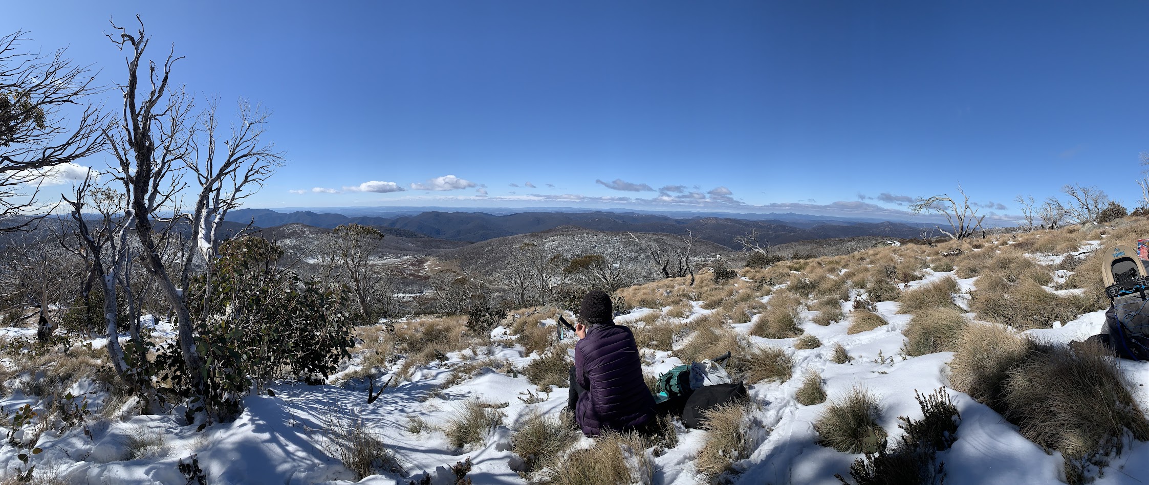
John on the Gingera Ridge
It got a little better.
On the Gingera Ridge
We’d started by following the track of two other guys who were up there, but when they bent away to the NE we stayed on the crest in unsullied snow.
We made it all the way to SH1847, the northern nose of the ridge. Over the top the full cover stopped. We stopped, took off shoes and had lunch.
Lunch time views
A helter-skelter descent to the Mt Franklin Rd.

Descending to Pryors Hut
From Pryors Hut, the return was 7.5km in 2hrs 25mins. I was last in of course.
A great day. Great company.
Party
4 walkers – Rivera M, Terrylea R, Sandra T, me.
AllTrails
The AllTrails map is here, where you can pan and zoom.
Johnny Boy’s Walkabout Blog FaceBook Page
I’ve started up a FaceBook page. Each trip report posts to it. It’s another way to get some info to get out and breathe a bit of fresh air. Why not pop over and Follow the page, or give a post a Like.