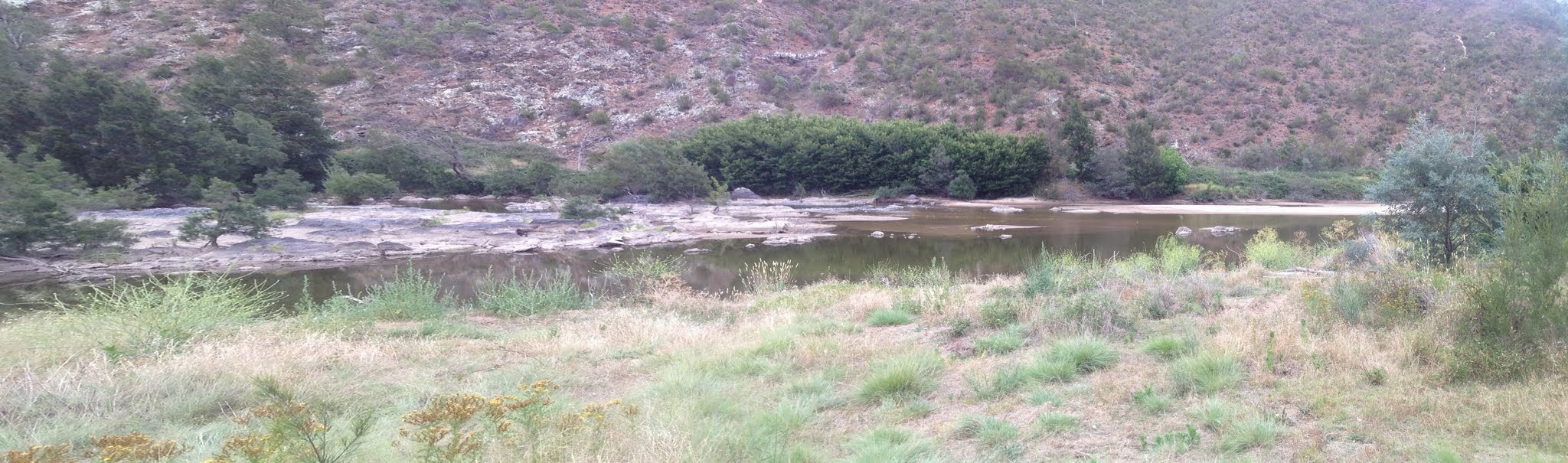
Lazy Murrumbidgee River below the Bullen Range
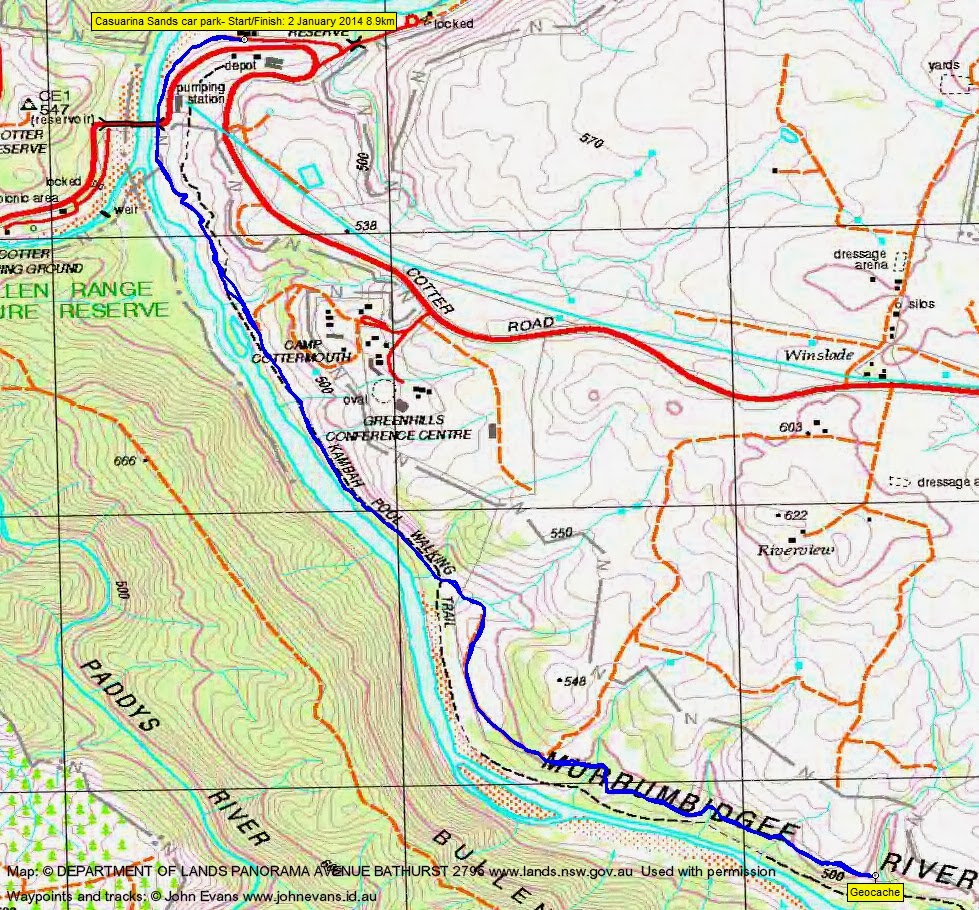
Thursday evening 2 January: Murrumbidgee River – S/E. Meet at 6.30 pm at Casuarina Sands in the nearest car park to the Cotter Road. (Turn right at the signpost to Casuarina Sands at the big left bend on Cotter Road just before the Murrumbidgee Bridge, then immediately left.) We will walk a couple of kilometres along the riverside track and back again. Those who want to can stay for a swim (care needed if it’s getting dark) and/or picnic tea after the walk. No need to book. Map: Cotter (but it isn’t needed). Leaders: Linda S and Jeff B. Transport: drive yourself.
9 of us met at Casuarina Sands.
Summary
Distance: 8.9km | Climb: 210m | Time: 6.30-8.35pm (2hrs 5mins) | Grading: M/E; E(5)
Track Map
Photographs
Photographs are available, where you can start a large sized slide show.
Google Earth
Download the Google Earth .kmz file here.
Track Notes
Crook wife – walk starved – pleasant ramble.
Under the bridge and along the river track to Bulgar Creek. With Kathy H and Jeff P both geocachers (1 found, 1 seen and Kath helped me find one at the turn around point), I could take this up! Cicadas flying.
OK – so I’m now (2 days later) a registered geocacher taking my first tentative steps. The one Kath helped me find is ‘A (not so) Futile Search for An Unnecessary Cache’, GC2B5CC.
Most pleasant company on an evening stroll.
Party
9 walkers – Jeff B (co-leader), Kathy H, Katrina H, Jeff P, Nerolie P, Margaret R, Phillip S, Linda S (co-leader), me.