
Johns Peak, Tidbinbilla Peak, Tidbinbilla Mountain and SH1269
Saturday 19 April 2025: Camels Hump to Cotter River Crossover * – L/M. A crossover walk, with one party walking the ‘up’ route from north of Bendora Dam to Camels Hump and the other party walking the ‘down’ route from Camels Hump. A razor spur runs from the Cotter River at 700m ASL through SH1085 and SH1269 to Camels Hump at 1444m ASL. Walk past the fabulous face in the cliff and ford the Cotter River 3 times. Around 15km and 850vm climb. The ‘up’ party led by Stephen M and the ‘down’ party by John E.
Summary
From Garmin Connect (recorded on Epix Gen 2) – Distance: 13.84km | Climb: 785vm | Time: 4:06 moving + 2:55 of stops = 7:01 | Grading: L/M; H(12).
Photographs
View photographs here. There are more photos than those embedded.
gpx file
Download the gpx file here.
Track Map
Here’s where we went:

Track Camels Hump to Cotter River crossover
Trip Report
I last did this trip on 16 Mar 13, when we went up this spur, across via Johns Peak to SH1491, and down that razor spur. Trevor and I were a lot younger then.
Garry and I drove out last Sunday to check out the parking at the intersection of Bendora Rd and Burks Creek Rd.
NVC and TNR were advised of our plans. We were notified of hazard reduction burns in places in the Brindies, so a little smoke about.
Today we had an ‘up’ party and a ‘down’ party. Hats off to Stephen, Garry, Henry, Ceilidh and Michael puffing up the spur. “I sweated a lot coming up there” was a comment from one ‘upper’ at the lunchtime meeting. The ‘down’ party was Chris, Kirsty, Carla, Jo, Lauren, Michael and me. We endured the Camelback Fire Trail to Camels Hump, then cruised down the spur 😊.
Huge thanks to drivers who were willing to allow others to drive their vehicles out to the post-trip rendezvous point at Cotter Avenue.
The TNR early Ranger was early and we were through the gates at 7.15am. Walking from Mountain Creek car park by 7.45am. Stephen and I had agreed to inReach advise each other of our progress when we started, at 10am, 12noon, 2pm and 4pm.
6.4km in 2:07 for me to smoko on Camels Hump, dragging the chain all the time.

View south along the Tidbinbilla Range from the climb to Camels Hump
Our route down the spur to the Cotter River was in the following bounds:
Camels Hump to SH1269 1.3km in 0:56

View down the spur to SH1269

An open route at 10.27am

View to SH1269 at 10.35am
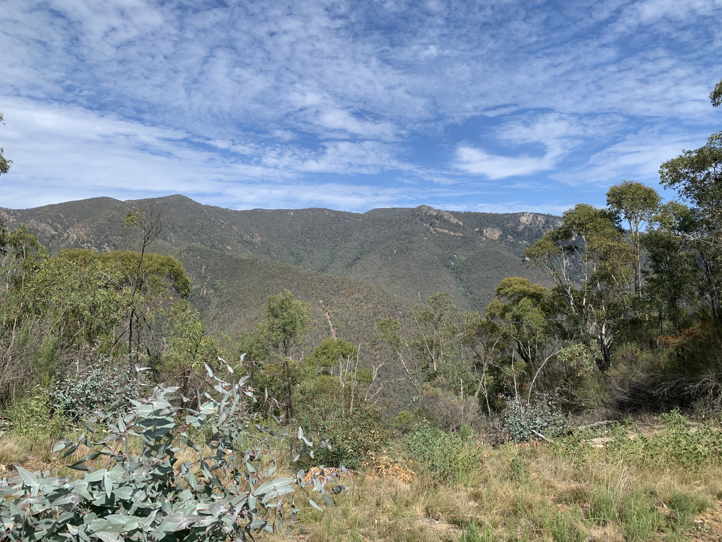
Johns Peak, Tidbinbilla Peak, Tidbinbilla Mountain and SH1269

Open rocky going at 10.45am
SH1269 to lunch with the ‘up’ party 0.4km in 0:25

Looking back up to Camels Hump at 11.11am

Camels Hump, Johns Peak, Tidders Peak and Mountain at 11.12am

One of a couple of rocky patches, this one just down from SH1269 at 11.17am

View to northern cliffs of Tidbinbilla Mountain above the south arm of Burks Creek at 11.30am
Lunch to SH1085 0.7km in 0:26

Heading down then up to SH1085 at 12.24pm
SH1085 to join Burks Creek Rd 1.7km in 0:53
Johns Peak, Tidders Peak and Mountain, and the Pimple from the helipad at 12.40pm

A clearly defined route at 12.42pm

Best grass trees at 1.12pm

Burks Creek Rd at 1.28pm
Join Burks Creek Rd to finish 3.2km in 1:18 including arvo break.

Pressure release valve on the Bendora water pipeline at 1.37pm

Gravity feed water pipeline from Bendora Dam to Canberra at 1.41pm

First ford of the Cotter River at 1.45pm

Cotter River downstream of the third ford at 2.20pm

Face in the cliff from Burks Creek Rd at 2.45pm
With the ‘up’ party driving back from Mountain Creek carpark and the ‘down’ team from Bendora Rd to rendezvous at Cotter Avenue, the logistic arrangements worked perfectly with each party arriving within 10 seconds of each other. What a fluke!
Trust you enjoyed it folks.
Party
12 walkers – Ceilidh A, Garry B, Jo B, Michael C, Michael C, Chris D, Henry G, Kirsty G, Carla H, Lauren O, Stephen M, me.