
Iconic Trails work party caught us on the way up the Pimple
Tuesday 3 June 2025: Skyline Track filming * – M/R. Expressions of interest are invited from members to be involved in ground and drone filming on the crest of the Tidbinbilla Range and the Pimple. Iconic Trails, who are building the trail, are organising advertising footage for the opening of the Skyline Track in early October. They require 6 or so experienced bushwalkers. More deets to come. Please don’t get huffy if you aren’t selected, as we need a balanced and representative group (and you can always walk up there yourself some other time 😊).
Summary
From Garmin Connect (recorded on Epix Gen 2) – Distance: 9.80km | Climb: 710vm | Time: 3:42 moving + 2:47 of stops = 6:29 | Grading: M/R; M(10).
Photographs
View photographs here.
gpx file
Download the gpx file here.
Track Maps
Here’s where we went:

Track Skyline Track filming
Trip Report
I was last on the Pimple 19 Oct 24.
A few firsts today:
first time driven up to the bottom of the Spur 1 trail
first time walking up the Spur 1 route
first time further down from the Pimple to the top of the cliffs
first time my little RAV4 has tried Sports mode and driven up to the Spur 1 FT!
I was shown a clean set of heels the entire day by track construction staff and 4 kick-a#%se fast walking CBC ladies.
CBC was invited by Gareth, the Iconic Trails boss, to put some walkers up on the Tidbinbilla Range Skyline Track to film advertising material to be made available prior to the early October opening. It’s rugged country up there, even on a picture-perfect day. The Skyline (or what it will be called) Track will be Grade 5 according to the Australian Walking Track Grading System, which means:
Very experienced bushwalkers with specialised skills, including navigation and emergency first aid. Tracks are likely to be very rough, very steep and unmarked. Walks may be more than 20km.
We met at 8.30am at Lanyon Marketplace and motored to the Mountain Creek carpark at Tidbinbilla Nature Reserve to meet our host at 9am. Two trips in his big beast of a truck had us up at the bottom of the Spur 1 access track by 9.25am.

A lift up the Camelback FT to Spur 1
The Skyline Track and its entry/exit routes is indeed an iconic trail!

Iconic Trails indeed
Built sympathetically with the natural environment, there are few noticeable constructs apart from the minimal trackside clearing.
I puffed up the track, which rises 460 vertical metres in 1.9km across the ground in 1:15.

Climbing the Spur 1 track at 1470m
Morning tea break at the top, near the rock stack cairns marking the T-intersection turn off to Tidbinbilla Mountain.

Smoko on the crest of the Tidbinbilla Range by the rock stack cairns
From here, it was 1km in 25mins along the crest to the turn off to the Pimple. Along the way, the first view of the imposing feature.

First view of the Pimple
Lovely walking ’cause it’s relatively flat.

On the Skyline Track between smoko and the Pimple
The turn off to the Pimple is marked by a cairn and, at the moment, Iconic Trails’ emergency supply drops.

Turn off to the Pimple
It was 1.1km in 40 minutes for me to reach our lunch spot. It amuses me that the track descends to the bottom of the Pimple, before the final scramble to the top and beyond.
I was glad of a spell before the scramble.

Gareth of Iconic Trails gives us a spell before the final Pimple scramble
It’s a bit of a haul up and best taken easy.

Scrambling up the Pimple
One area is testing for shorter-legged walkers.
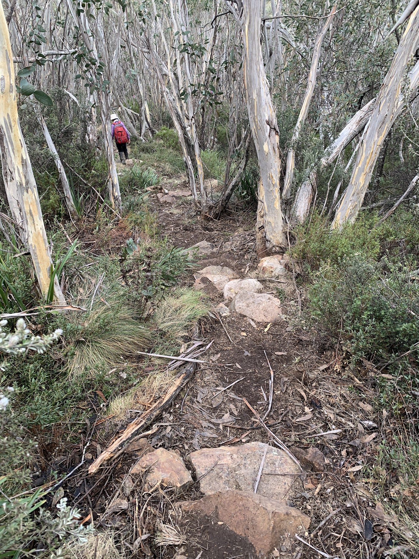
On the way up we were passed by an Iconic Trails work team and James, the videographer with drone in his pack. Tough boys – they’d walking in from Fishing Gap! Hats off to these guys – they love their work and are rightfully proud of it. The last ground work for the Skyline Track is the climb to the Pimple, but it’s impossible to make much improvement to the scramble up the boulder gully.
Iconic Trails work party caught us on the way up the Pimple
A first for me as we went over the high point and down to the top of the cliffs.

Heading down to the top of the Pimple cliffs
Staggering views!

Lunch on the Pimple
This is the best lunch spot in my limited walking experience. In the above you can see the razor spur dropping from Camels Hump that we walked on 19 Apr 25.
To the WSW are the cliffs on the side of Tidbinbilla Mountain.

Cliffs on the side of Tidbinbilla Mountain
There’s another razor spur that drops from SH1491, between Johns Peak and Tidbinbilla Peak.

The razor spur that runs down from SH1491
When I was a bit younger and healthier, Trevor L took us on a trip up from the Cotter River to Camels Hump, across to SH1491 and down to Bendora Dam. a classic 9+ hour trip on 17 Mar 13.
Enough reminiscing. Back to today’s views down the south arm of Burkes Creek.

View down the South Arm of Burkes Creek from the Pimple
The Iconic Trails boys left us to do some work.

The climb back up to the Pimple high point
We went to work under James’ direction and under the watchful eye of his drone. (No drone use in National Parks unless you have a permit.)

James, videographer and drone man
At last it was time to get going. We scrambled back up to the top and descended.

Descending from the Pimple
43 minutes for me for the return 1.1km to the Pimple turn off.
Our next leg took us to Tidbinbilla Mountain. Very pleasant walking, the Skyline Track avoiding all the previous braided footpads in this area. 750m in 28 mins for me. I was slowing up.

Skyline track between the Pimple turn off and Tidbinbilla Mountain
One of the few signs of track construction at a series of stone steps leading up to Tidbinbilla Mountain.

Sympathetic stone steps climbing to Tidbinbilla Mountain
Wonderful views and some more filming on the top.

Corin Dam and Bimberi Peak from Tidbinbilla Mountain
A few more stone steps down the exit from the top, through an area that used to be very shrubby.
More natural step just down from Tidbinbilla Mountain
After that, the track flattens a little.

Descending from Tidbinbilla Mountain at 1520m
Then, thankfully for me, the flat area on the crest north of the Snowy Corner cairns.

Tidbinbilla Range crest north of Snowy Corner cairns
The 1.1km leg from Tidbinbilla Mountain to the Snowy Corner cairns took me 35 minutes. Coming down from the Mountain, the Iconic Trails work party sped past us on their way back to Fishing Gap.
I’d always planned to get home via the Snowy Corner exit. Another septuagenarian joined me, along with Gareth, as he needed to pick up his vehicle. The other 3 CBC ladies chose to walk on to Fishing Gap with James. Thanks to Jenny A for taking over CBC leadership. They got to Fishing Gap just on dark where, thankfully, vehicles were waiting for them. They reportedly did 1000+ vm of climb during the day.
An uneventful descent from Snowy Corner cairns for the three of us. 1:15 for the 2.7km. Always love the Lyrebird Track finish.

Mountain Creek from the Lyrebird Track
Kicking in the Sports mode and red display detail 😂on my little RAV4, we drove up to retrieve Gareth’s big truck. Drove to Fishing Gap carpark where Gareth and Jen H drove up to Fishing Gap to meet James and the three CBC ladies. I was released to go home for my 5pm beer o’clock non-alcoholic swill.
A bucket list trip for one in the party; a fabulous day of awesome views for all of us.
The AllTrails map is here, where you can pan and zoom.
Party
5 CBC walkers – Jenny A, Jo B, Jenny H, Sonja W, me.